Parking
Park on the north side of SR 20 near milepost 126.8; the signed trailhead is across the highway beside Pyramid Creek. No toilet or potable-water facility was identified at the start.
North Cascades National Park, WA
Steep miles to a tiny lake threaded with floating logs.
Overview
Pyramid Lake Trail is a 4.2-mile out-and-back from State Route 20 to a small forested lake, with about 1,500 feet of climbing. Allow 2.5 to 3 hours. Most of the work comes on the 2.1-mile climb in; you retrace the same steep trail on the way down. Come for the quiet lake, the old cedars and the unusual floating-log gardens, not for an easy stroll or a wide summit panorama.
 Parkwolf’s verdictIs this the hike for you?
Map & elevation
Plan your hike

The highest, rockiest slopes around here are a summer buffet for grizzly bears.
North Cascades Tour Guide
Parkwolf is a GPS audio tour guide for North Cascades National Park. As you drive, it chimes in with what’s ahead: hidden gems, upcoming stops, history, geology, and wildlife, right through your car’s speakers.
See the North Cascades audio tourRecorded for this trailhead
Pyramid Lake: Floating Gardens in the Forest“Pyramid Lake Trailhead is ahead, for a steep forest hike to a small lake dotted with floating logs.”
Plays as you drive up to this trailhead in the Parkwolf North Cascades Tour Guide.
More stories near here in the app
“Fantastic app with many points of information… It’s great to just turn on while you’re driving and it gives you an audio tour of the national Park. We love it!!!!”


Trail guide
The lower slope is open and sunny in places. Blackened trunks from an earlier fire stand among young Douglas-fir and lodgepole pine. Lodgepole cones release seeds after intense heat, while some thick-barked Douglas-firs survive and help reseed a burned slope. Snags left standing provide homes and feeding spots for woodpeckers and other cavity users.
At about 0.9 mile, cross a stream and reach a small forest glade. It is a natural place to stop before the harder part. Some cedars here are more than 500 years old. Beyond the crossing, the forest turns greener, with hemlock and cedar, moss, deer fern and huckleberry.
The trail climbs again, switchbacks over a small ridge, then drops to the water. Loose rock makes the descent harder on the knees, so save some patience for the return climb. You get intermittent looks back toward Sourdough Mountain and Davis Peak, rather than a continuous panorama.
Just before shore, the path forks. The left branch reaches a few sitting rocks at the water; the right climbs to a large boulder overlooking the lake and marks the end of the maintained trail. A rough climbers' path continues beyond, but it is a different outing and is not part of this route.
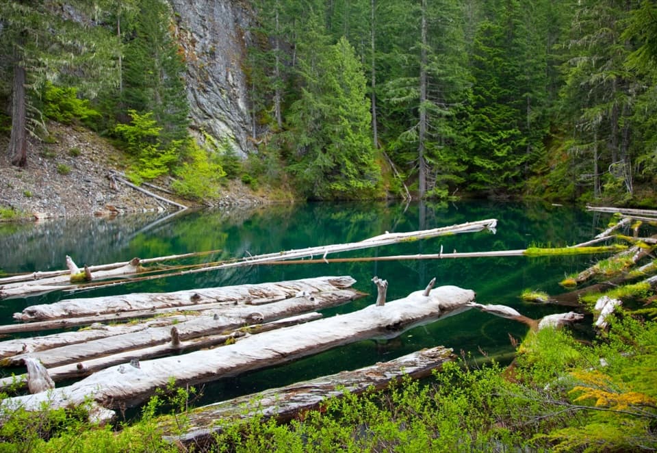
This small, deep lake sits in a basin formed by an ancient landslide. Silvered logs float across the water, gathering moss and plant mats; yellow water lilies and tiny roundleaf sundew add detail at the edges. Fish were never planted here. For a picture, frame the logs across the still water so the forest and the lake's scale stay in view.
The lake and surrounding land are protected as a Research Natural Area. This is a day hike: camping is prohibited at the lake and along the trail corridor. Overnight trips require an NPS backcountry permit, and the park directs climbers to continue at least half a mile beyond the lake before camping.
Park on the north side of SR 20 near milepost 126.8, then cross the highway to the signed trailhead beside Pyramid Creek. No toilet or potable-water facility was identified at the start. National Park Service rules prohibit pets on this trail; service animals are allowed.
Wildlife
 101 sightingsMountain GoatMost seen around 6 PMSighting map
 70 sightingsBlack BearMost seen around 8 PMSighting map
 20 sightingsMule DeerMost seen around 7 PMSighting map
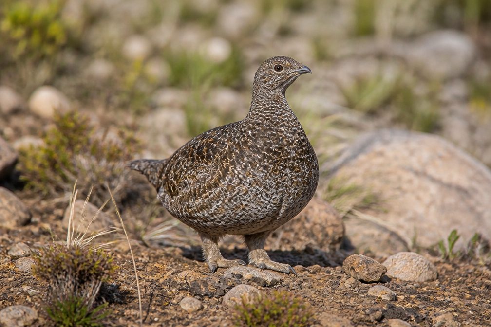 77 sightingsSooty GrouseMost seen around 6 AMSighting map
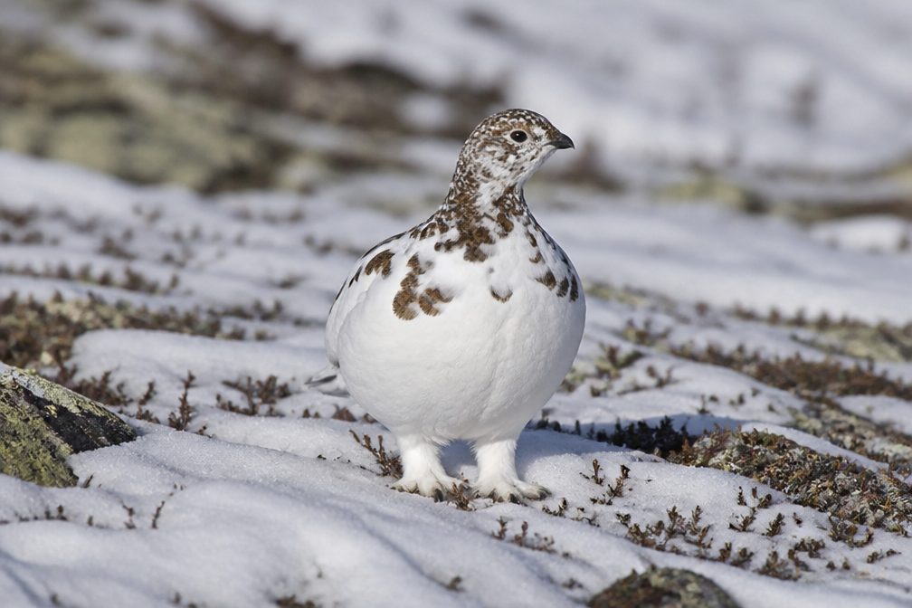 23 sightingsWhite-tailed PtarmiganMost seen around 6 PMSighting map
 75 sightingsWestern ToadMost seen around 8 PMSighting map
Sighting maps show where each species has been reported across North Cascades. Wildlife moves, so no sighting is guaranteed.
Keep exploring
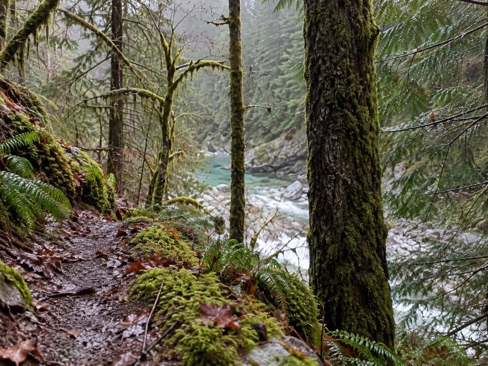 ModerateStetattle Creek Trail6 mi · 3.5 hr · 0.6 mi awayA rocky creekside start opens to a mossy forest traverse.
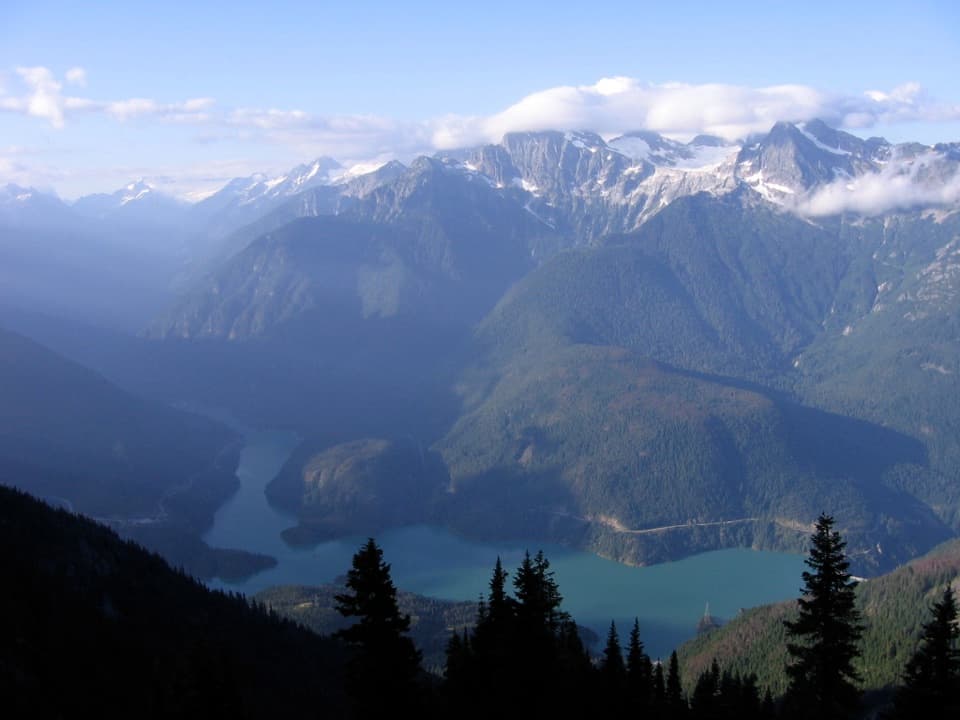 ChallengingSourdough Mountain Trail10.4 mi · 9 hr · 0.6 mi awayNearly 5,000 feet of climbing for the Diablo Lake panorama.
 ModerateDiablo Lake Trail7.6 mi · 4.5 hr · 1.3 mi awayA long forest climb earns a high bridge over Diablo Lake
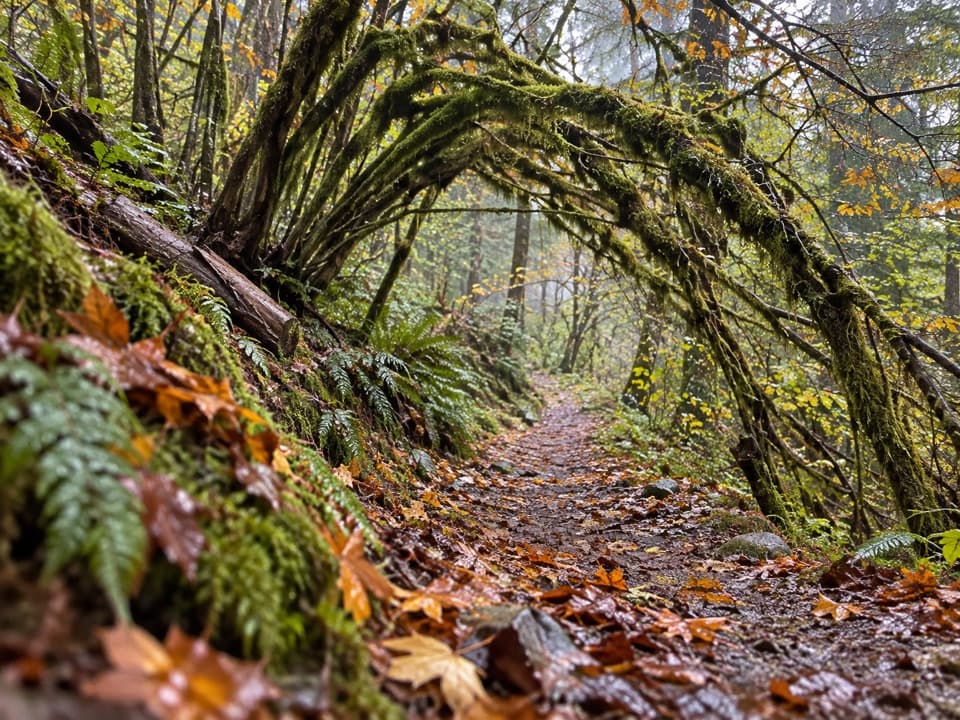 ModerateSourdough Creek Trail3.5 mi · 2.8 hr · 1.4 mi awayA forest path to Sourdough Creek Falls, with a rocky finish.
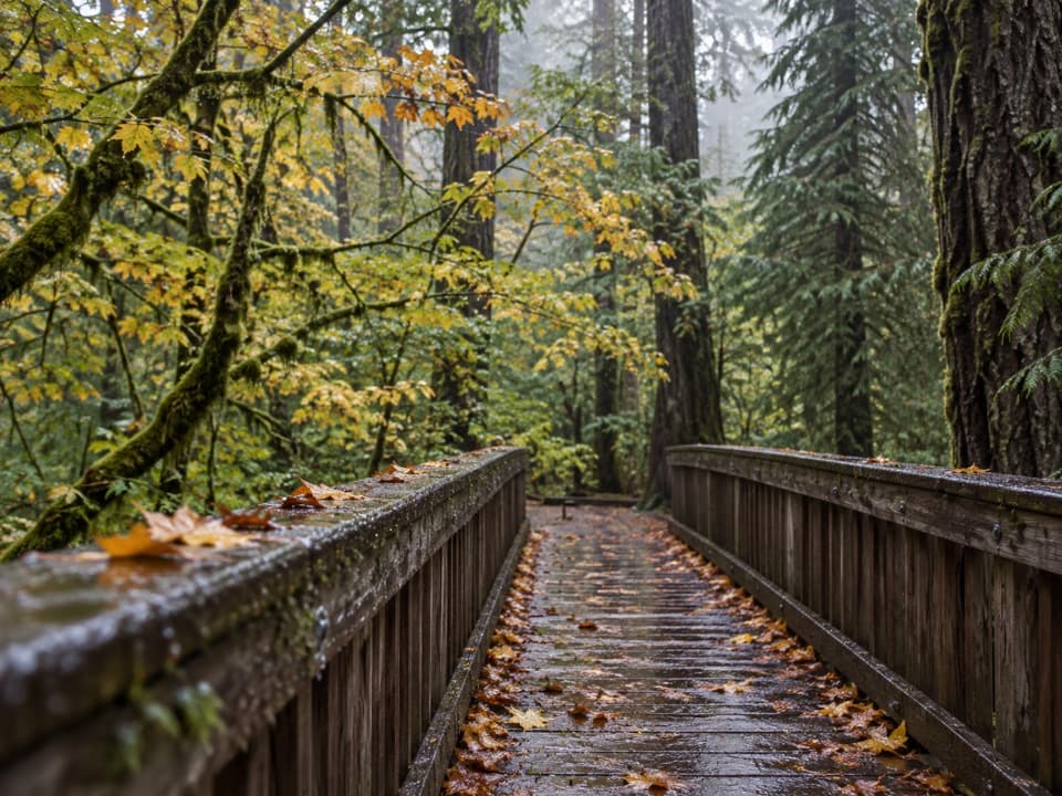 EasyDeer Creek Loop0.3 mi · 15 min · 1.5 mi awayA quarter-mile loop winds beside Deer Creek Shelter.
 ModerateThunder Knob Trail3.8 mi · 2.5 hr · 2.5 mi awayTake the steady climb for broad views over turquoise Diablo Lake.
 EasyThunder Creek Trail3 mi · 1.8 hr · 2.9 mi awayOld-growth cedars, turquoise water, and a handsome footbridge.
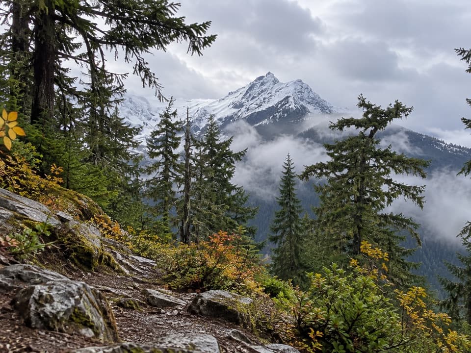 ChallengingFourth of July Pass via Thunder Creek10.4 mi · 7 hr · 2.9 mi awayA shady creek walk gives way to steep climbing and glacier views.
 Campground · 0.5 mi awayGorge Lake CampgroundEight simple sites, a lakeside launch, and a night by the water.
 Sight · 0.7 mi awayDiablo DamA public road crosses the 389-foot dam beside Diablo Lake.
 Sight · 1.5 mi awayNorth Cascades Environmental Learning CenterBook a program for lakeside learning, meals and trail days.
 Campground · 1.9 mi awayThunder Point CampA quiet three-site boat-in camp on Diablo Lake.
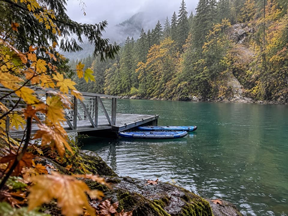 Campground · 2 mi awayHidden Cove CampA single-site camp with a sheltered dock, reached only by boat.
 Campground · 2.2 mi awayBuster Brown CampA lake camp reached by water, with its own boat dock.
 Sight · 2.2 mi awayDiablo Lake OverlookA quick roadside view of glacial turquoise beneath the Cascades.
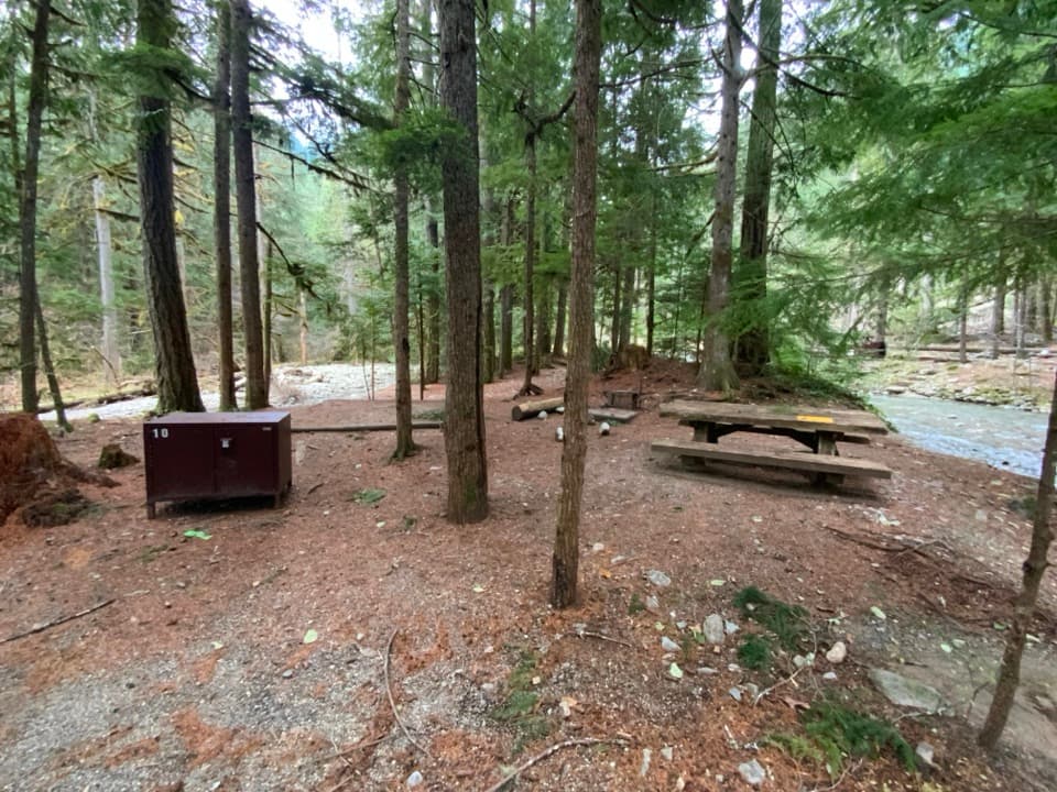 Campground · 2.4 mi awayColonial Creek North CampgroundA wooded Diablo Lake campground with an accessible pier and boat launch.
Parkwolf’s North Cascades ranking
The audio tour guide for the drive, plus offline maps, trails, and wildlife heatmaps for when the signal drops.