Bridge Creek (Pacific Crest) Trail in North Cascades National Park

North Cascades National Park, WA

Bridge Creek (Pacific Crest) Trail

A long PCT descent from SR 20 to Bridge Creek Camp.

Length
12.8mi
Time
7hr
Elev. change
2,454ft
Difficulty
Moderate
  • Dogs allowed
  • High point 4,590 ft
  • #44 of 88 in North Cascades

Hear the audio tour

Bridge Creek and the Pacific Crest Trail

Overview

About Bridge Creek (Pacific Crest) Trail

Why go

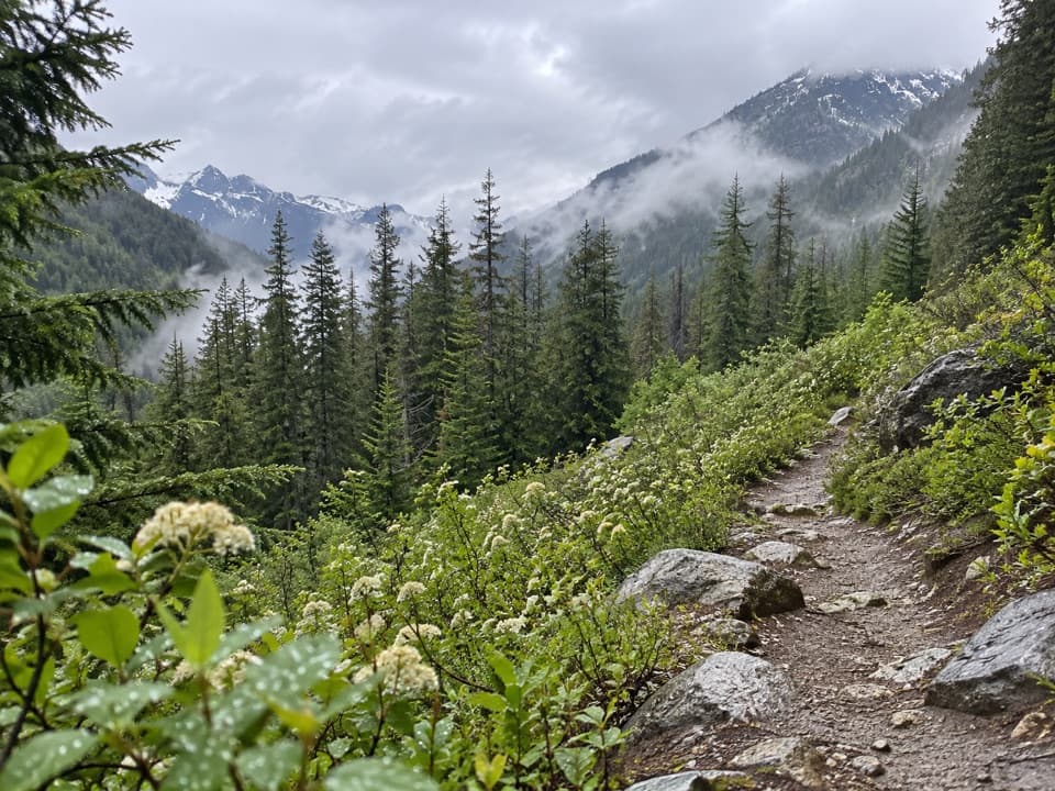
  • Long valley traverse with meadows and occasional views
  • Mostly gentle, downhill PCT tread for its distance

Heads up

  • 12.8 miles one way, with no road access at the far end
  • Long forest stretches and limited creek access between camps

Map & elevation

The route

Loading the North Cascades map
Full map
Elevation2,136–4,590 ft
TrailheadBridge Creek Trailhead at SR 20 milepost 15948.50517, -120.71897
Keep this map with you offline in the Parkwolf app

Plan your hike

Before you go

Parking

Bridge Creek Trailhead at SR 20 milepost 159, just over a mile east of Rainy Pass. The lot is north of the highway; cross SR 20 and follow the short connector to the Pacific Crest Trail. A Northwest Forest Pass or an America the Beautiful pass is required.

Best time to go

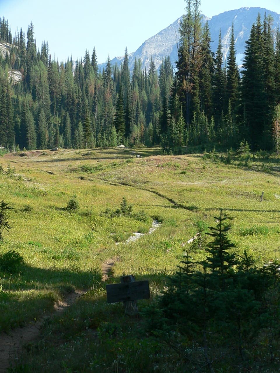
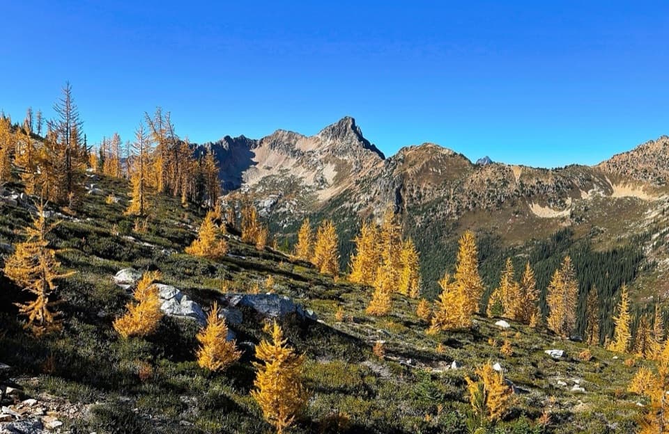
This route usually melts out earlier than other hiking options into Stehekin, often by mid-June. In spring and early summer, wildflowers fill the valley meadows and avalanche tracks. Later in the season, the route can be hot and dry; patches of ponderosa pine and Douglas fir provide shade, but not all day. It’s a good choice if you want a long walk through the valley’s changing forest and open meadows, not a string of dramatic viewpoints.

Safety

Long exposed stretches can be hot and dry, and water is not continuously accessible from the tread. The Maple Creek bridge is removed seasonally; high water can make the crossing impassable. Check current crossing reports before setting out. Leashed dogs are allowed only on the Pacific Crest Trail. Overnight stays require a limited backcountry permit and camping is restricted to designated camps. Bears are common along the drainage; use food-storage lockers at camp.

7 active North Cascades alerts

  • ClosureWildfire closures and Stehekin fire advisoryWildfire-related closures remain in effect; stay out of all closed trails, camps, and areas.Official details
  • CautionCampfires banned across the park complexCampfires and other ash-producing fires are banned throughout the North Cascades National Park Service Complex.Official details
See all 7 alerts
A park ranger sits on a dash-mounted phone, talking, as Parkwolf’s Tour Guide plays “Army Cutworm Moths: A Grizzly Bear Buffet” on Grand Loop Road below Dunraven Pass in Yellowstone
Parkwolf Tour GuideThe highest, rockiest slopes around here are a summer buffet for grizzly bears.

North Cascades Tour Guide

Your drive to Bridge Creek (Pacific Crest) Trail, narrated.

Parkwolf is a GPS audio tour guide for North Cascades National Park. As you drive, it chimes in with what’s ahead: hidden gems, upcoming stops, history, geology, and wildlife, right through your car’s speakers.

See the North Cascades audio tour

Recorded for this trailhead

Bridge Creek and the Pacific Crest Trail
0:00 / 0:26
“You're coming up on Bridge Creek Trailhead, an access point for the Pacific Crest Trail. The route descends through forest, meadows and avalanche tracks, with wildflowers in spring and early summer.”

Plays as you drive up to this trailhead in the Parkwolf North Cascades Tour Guide.

More stories near here in the app

  • The Cone with Little Pitchforks
  • Rainy Pass: Lake Walk or Ridge Hike
  • Blue Lake: A Half-Day Mountain Hike
  • A Mountain Goat’s Grip
  • 83 audio storiesacross North Cascades’s roads, triggered by GPS as you drive
  • Wildlife heatmapsfor Mountain Goat, Black Bear, Mule Deer, and 10 more
  • Works offlinemaps, 88 trails, 76 places, and audio download before you lose signal
  • CarPlay readysimple controls built for the drive
★★★★★
“Fantastic app with many points of information… It’s great to just turn on while you’re driving and it gives you an audio tour of the national Park. We love it!!!!”
JMJamesApp Store review
Download Parkwolf on the App StoreGet Parkwolf on Google Play

4.7 from 8,600+ ratings

Trail guide

Hiking Bridge Creek (Pacific Crest) Trail

What this route isBridge Creek (Pacific Crest) Trail is the 12.

Bridge Creek (Pacific Crest) Trail is the 12.8-mile, one-way PCT stretch from the Bridge Creek Trailhead at SR 20 milepost 159 to the Bridge Creek Camp junction. It follows Bridge Creek toward its meeting with the Stehekin River and drops about 2,500 feet. This is a point-to-point valley walk, not a loop or a summit climb. The trail is rated moderate, but the distance makes it a full day on foot; allow about seven hours for the walk itself. There’s no road pickup at camp. Walking back makes this a 25.6-mile day, so most people will need an overnight or a longer through-route with an exit plan.

Get onto the PCTThe trailhead lot is on the north side of SR 20.

The trailhead lot is on the north side of SR 20. Cross the highway and follow the short connector to the main trail. A Northwest Forest Pass or an America the Beautiful pass is required to park. The official distance ends at the Bridge Creek Camp junction, deep in the backcountry, so decide on your return or continuation before you leave the car.

What the walk feels likeExpect long stretches of forest and a mostly smooth tread with gentle ups and downs, trending…

Expect long stretches of forest and a mostly smooth tread with gentle ups and downs, trending downhill overall. It isn’t a continuous creekside stroll: the creek is often out of reach from the path, and water access is easiest at camps. Views open now and then across the valley and toward Lake Chelan, but most of the walk is about moving through the drainage rather than stopping at big overlooks. Some stretches get brushy, and the exposed sections between camps can feel much warmer than the shaded forest.

At Bridge Creek CampBridge Creek Camp is the useful stopping point and a base for other backcountry trips.

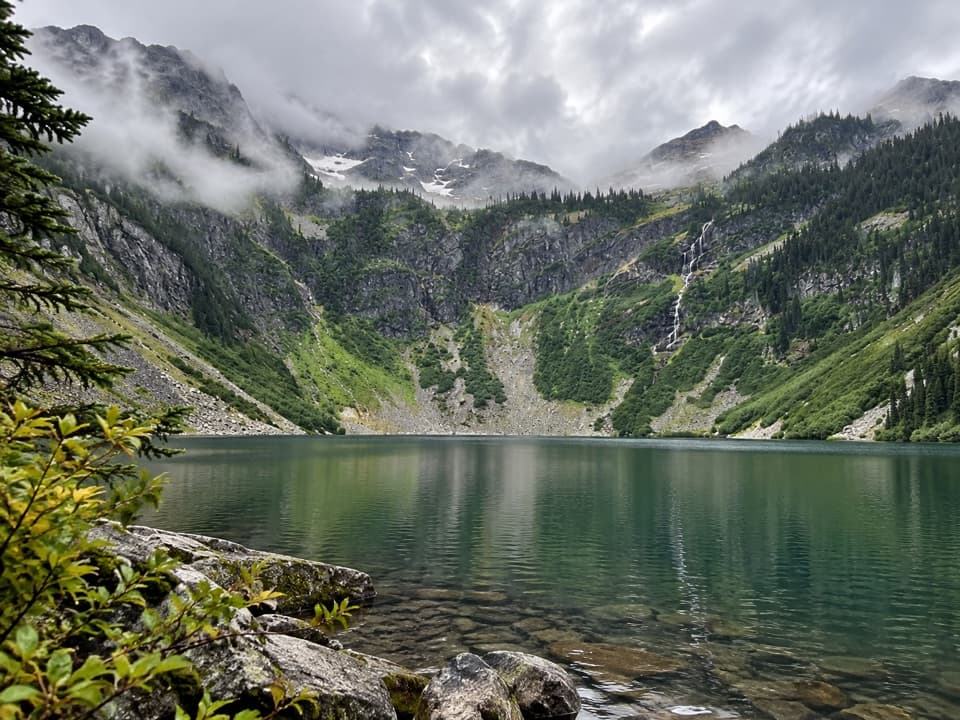
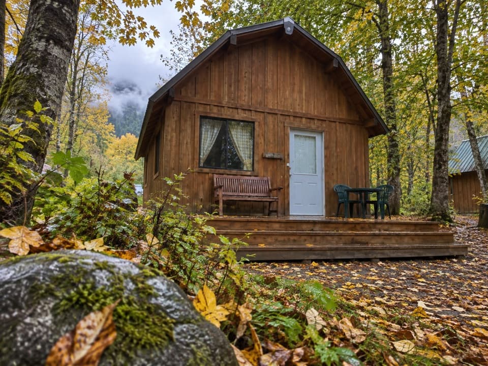
Bridge Creek Camp is the useful stopping point and a base for other backcountry trips. Trails branch from here toward McAlester Lake, Dagger Lake, Rainbow Lake, and the North Fork. This section is part of the Pacific Crest Trail, so it also fits into longer backpacking itineraries. Designated camps generally have a tent pad, toilet, and water access; check the specific camp details when planning an overnight.

Crossings, dogs, and campingThe Maple Creek bridge is removed seasonally, and high water can make that crossing impassable.

The Maple Creek bridge is removed seasonally, and high water can make that crossing impassable. Check current trail conditions before committing to the full point-to-point route. Leashed dogs are allowed on the PCT; they are not allowed off it. Overnight stays require a limited backcountry permit, and camping is restricted to designated camps. Bears are common along this drainage, so use the food-storage lockers at camp.

Wildlife

Wildlife in North Cascades

All North Cascades wildlife maps

Sighting maps show where each species has been reported across North Cascades. Wildlife moves, so no sighting is guaranteed.

Keep exploring

Near Bridge Creek (Pacific Crest) Trail

See it all on the map

Trails that start nearby

Places near the trailhead

Parkwolf’s North Cascades ranking

Top-rated trails in North Cascades

All 88 trails
  1. 1Sahale Arm TrailChallenging · 11.8 mi
  2. 2Cascade Pass TrailModerate · 7.4 mi
  3. 3Heather–Maple Pass LoopChallenging · 7.2 mi
  4. 4Hidden Lake TrailChallenging · 9 mi
  5. 5Copper Ridge / Chilliwack River LoopChallenging · 33.5 mi
  6. 6Thunder Knob TrailModerate · 3.8 mi

Take Parkwolf to North Cascades.

The audio tour guide for the drive, plus offline maps, trails, and wildlife heatmaps for when the signal drops.

4.7 from 8,600+ ratings

Download Parkwolf on the App StoreGet Parkwolf on Google Play