Rainbow / McAlester Pass Loop in North Cascades National Park

North Cascades National Park, WA

Rainbow / McAlester Pass Loop

A four-day loop links two high lakes across two rugged passes.

Photo: National Park Service
Length
31.5mi
Time
1day
Elev. change
2,628ft
Difficulty
Challenging
  • Loop
  • No dogs
  • High point 6,076 ft
  • #32 of 88 in North Cascades

Hear the audio tour

Bridge Creek and the Pacific Crest Trail

Overview

About Rainbow / McAlester Pass Loop

Why go

  • A full pass-to-pass circuit links Rainbow Lake and McAlester Lake from SR 20.
  • Forested creek valleys give way to open pass meadows and long mountain views.

Heads up

  • Limited overnight permits and a four-day itinerary need advance planning.
  • Lingering snow and swift, seasonal fords can delay or change the route.

Map & elevation

The route

Loading the North Cascades map
Full map
Elevation3,448–6,076 ft
TrailheadBridge Creek Trailhead (SR 20, milepost 159)48.50500, -120.71910
Keep this map with you offline in the Parkwolf app

Plan your hike

Before you go

Parking

Bridge Creek Trailhead parking is just east of Rainy Pass on the north side of SR 20 near milepost 159. Use the short trail connector across the highway to the Pacific Crest Trail; the access can be easy to miss. A Northwest Forest Pass or America the Beautiful pass is required.

Safety

A limited backcountry permit is required for overnight trips. Bowan Pass can hold steep snow into mid-July; an ice axe may be needed before August. East Fork McAlester Creek is unbridged and may be difficult or impassable at peak snowmelt; South Fork Bridge Creek can be swift, and the Rainbow Ford footbridge is removed seasonally. Do not attempt high-water crossings.

7 active North Cascades alerts

  • ClosureWildfire closures and Stehekin fire advisoryWildfire-related closures remain in effect; stay out of all closed trails, camps, and areas.Official details
  • CautionCampfires banned across the park complexCampfires and other ash-producing fires are banned throughout the North Cascades National Park Service Complex.Official details
See all 7 alerts
A park ranger sits on a dash-mounted phone, talking, as Parkwolf’s Tour Guide plays “Army Cutworm Moths: A Grizzly Bear Buffet” on Grand Loop Road below Dunraven Pass in Yellowstone
Parkwolf Tour GuideThe highest, rockiest slopes around here are a summer buffet for grizzly bears.

North Cascades Tour Guide

Your drive to Rainbow / McAlester Pass Loop, narrated.

Parkwolf is a GPS audio tour guide for North Cascades National Park. As you drive, it chimes in with what’s ahead: hidden gems, upcoming stops, history, geology, and wildlife, right through your car’s speakers.

See the North Cascades audio tour

Recorded for this trailhead

Bridge Creek and the Pacific Crest Trail
0:00 / 0:26
“You're coming up on Bridge Creek Trailhead, an access point for the Pacific Crest Trail. The route descends through forest, meadows and avalanche tracks, with wildflowers in spring and early summer.”

Plays as you drive up to this trailhead in the Parkwolf North Cascades Tour Guide.

More stories near here in the app

  • The Cone with Little Pitchforks
  • Rainy Pass: Lake Walk or Ridge Hike
  • Blue Lake: A Half-Day Mountain Hike
  • A Mountain Goat’s Grip
  • 83 audio storiesacross North Cascades’s roads, triggered by GPS as you drive
  • Wildlife heatmapsfor Mountain Goat, Black Bear, Mule Deer, and 10 more
  • Works offlinemaps, 88 trails, 76 places, and audio download before you lose signal
  • CarPlay readysimple controls built for the drive
★★★★★
“Fantastic app with many points of information… It’s great to just turn on while you’re driving and it gives you an audio tour of the national Park. We love it!!!!”
JMJamesApp Store review
Download Parkwolf on the App StoreGet Parkwolf on Google Play

4.7 from 8,600+ ratings

Trail guide

Hiking Rainbow / McAlester Pass Loop

The four-day circuitThis 31.

This 31.5-mile loop starts and ends at Bridge Creek Trailhead on State Route 20, linking Bridge Creek/Pacific Crest Trail, Rainbow Lake, Rainbow Creek and McAlester Lake trails. It gains about 6,650 feet and reaches roughly 6,300 feet. The pass climbs are steep and rough, so most hikers allow four days. This record follows the SR 20 start; the separate Stehekin itinerary is longer.

From Bridge Creek to Rainbow LakeCross the highway on the short trail connector to reach the Pacific Crest Trail, then follow…

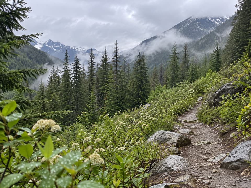
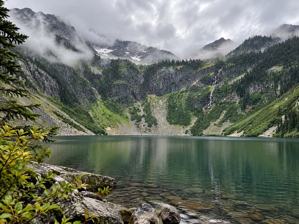
Cross the highway on the short trail connector to reach the Pacific Crest Trail, then follow Bridge Creek through forest and avalanche paths. Stay on Bridge Creek at the Twisp Pass junction. The Rainbow Lake Trail junction is about 5.6 miles from the start; Rainbow Lake is around mile 13.6, after the steep, rough north side of Bowan (Rainbow) Pass. Beyond the lake, open meadows look toward Rainbow Mountain before the route reaches Rainbow Creek Trail near mile 17.4.

Rainbow Creek and McAlester LakeTurn north on Rainbow Creek Trail.

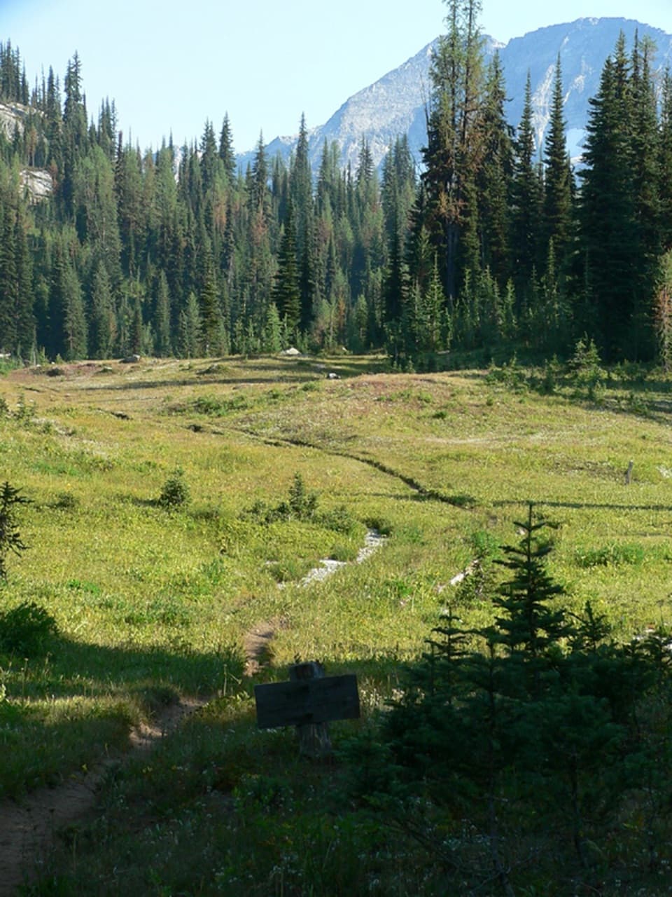
Turn north on Rainbow Creek Trail. The climb toward McAlester Pass opens views across Lake Chelan and the surrounding peaks. The pass is a broad subalpine meadow; McAlester Lake sits about 0.5 mile beyond it, in a shallow basin edged by meadow and forest. From the lake, follow McAlester Lake Trail to the Bridge Creek junction near mile 26.9, then retrace the approach for the last 4.6 miles.

Camps, permits and accessThis is a backcountry trip, not a day hike. Limited overnight permits are required.

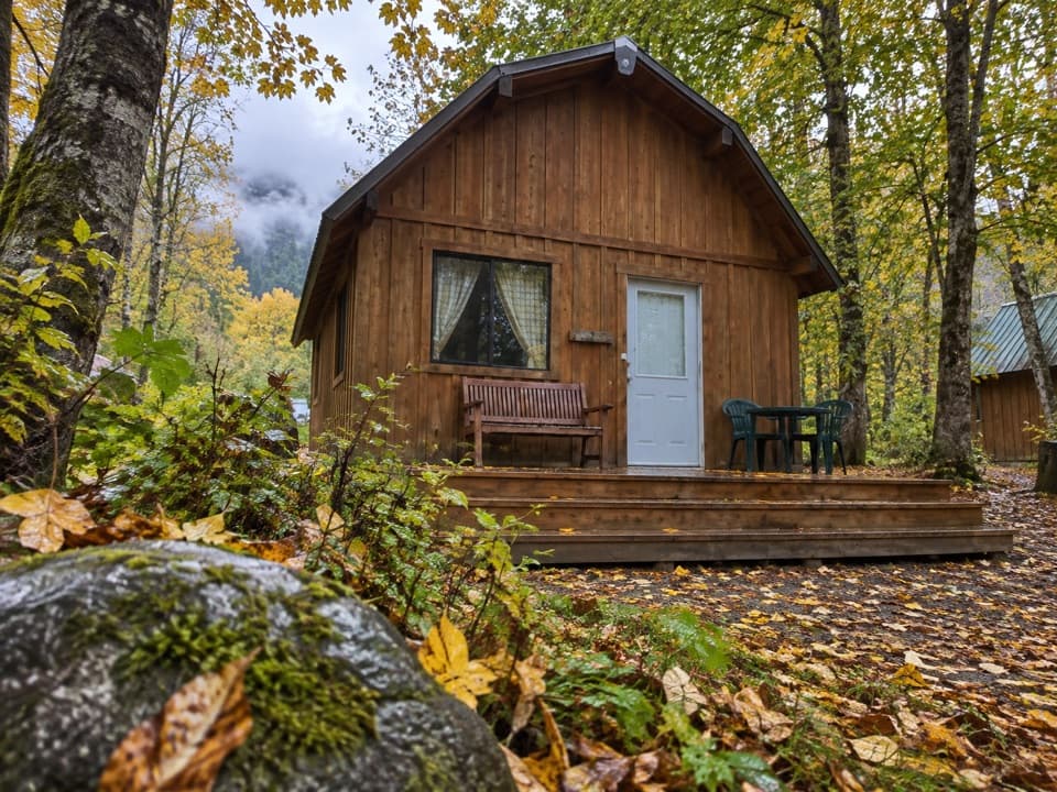
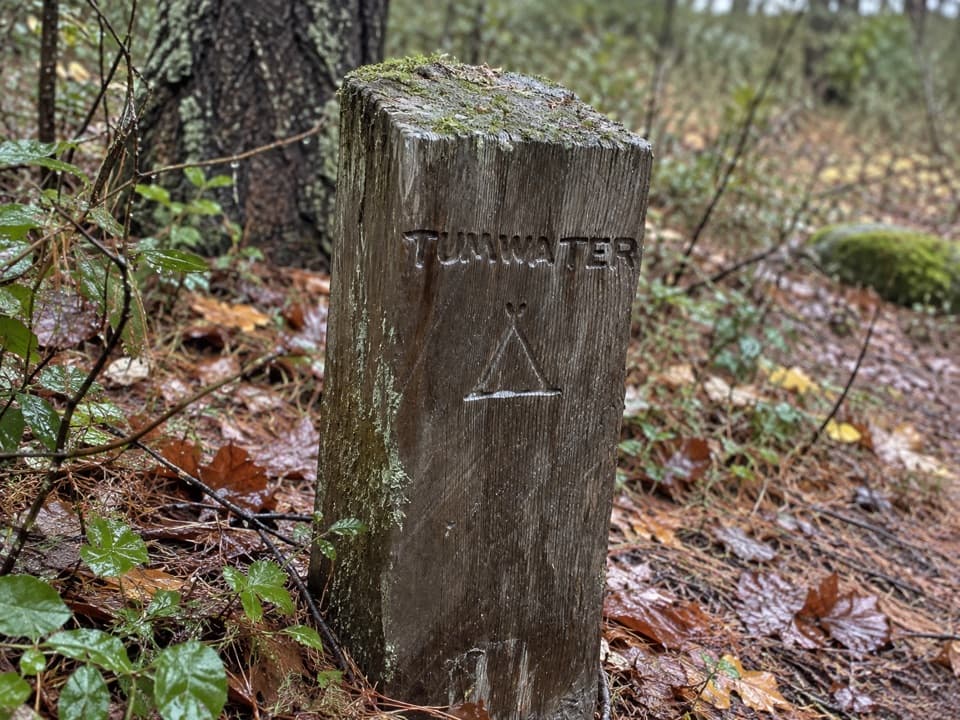
This is a backcountry trip, not a day hike. Limited overnight permits are required. Designated camps include McAlester Lake, High Camp at the pass meadow, Hidden Meadows and sites along Rainbow Creek. The Bridge Creek parking area is just east of Rainy Pass on the north side of SR 20 near milepost 159; use the short connector across the highway to the Pacific Crest Trail. A Northwest Forest Pass or America the Beautiful pass is required. Pets are not allowed on this complete route.

Snow and stream crossingsSnow can linger on Bowan Pass's steep north side into mid-July; an ice axe may be needed before…

Snow can linger on Bowan Pass's steep north side into mid-July; an ice axe may be needed before August. East Fork McAlester Creek is unbridged and can be difficult or impossible during peak snowmelt in June and early July. South Fork Bridge Creek may run swift and strong, and the Rainbow Ford footbridge is removed seasonally. Do not attempt high-water crossings; conditions can change the safe itinerary.

Forest and meadowThe lower Bridge Creek approach passes Douglas-fir and ponderosa pine; higher country shifts to…

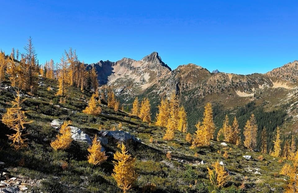
The lower Bridge Creek approach passes Douglas-fir and ponderosa pine; higher country shifts to mountain hemlock, subalpine fir and larch. The strongest open views come from Bowan Pass above Rainbow Lake and from the meadows at McAlester Pass, with the lake basins providing a change from the long forested creek valleys.

Wildlife

Wildlife in North Cascades

All North Cascades wildlife maps

Sighting maps show where each species has been reported across North Cascades. Wildlife moves, so no sighting is guaranteed.

Keep exploring

Near Rainbow / McAlester Pass Loop

See it all on the map

Trails that start nearby

Places near the trailhead

Parkwolf’s North Cascades ranking

Top-rated trails in North Cascades

All 88 trails
  1. 1Sahale Arm TrailChallenging · 11.8 mi
  2. 2Cascade Pass TrailModerate · 7.4 mi
  3. 3Heather–Maple Pass LoopChallenging · 7.2 mi
  4. 4Hidden Lake TrailChallenging · 9 mi
  5. 5Copper Ridge / Chilliwack River LoopChallenging · 33.5 mi
  6. 6Thunder Knob TrailModerate · 3.8 mi

Take Parkwolf to North Cascades.

The audio tour guide for the drive, plus offline maps, trails, and wildlife heatmaps for when the signal drops.

4.7 from 8,600+ ratings

Download Parkwolf on the App StoreGet Parkwolf on Google Play