Parking
Start at Levisham station car park and leave from the station yard over the level crossing. There are no toilets along the route; refreshments are available in nearby villages and may be available at the station.
North York Moors National Park, EN
Six miles of forest tracks and dale views above a steam railway
Overview
Map & elevation
Plan your hike

The highest, rockiest slopes around here are a summer buffet for grizzly bears.
North York Moors Tour Guide
Parkwolf is a GPS audio tour guide for North York Moors National Park. As you drive, it chimes in with what’s ahead: hidden gems, upcoming stops, history, geology, and wildlife, right through your car’s speakers.
Recorded for this area
The Line They Chose to Save“The railway through Newtondale could have been lost after passenger trains stopped in 1965.”
Plays on the road 0.7 km from the trailhead in the Parkwolf North York Moors Tour Guide.
More stories near here in the app
“Fantastic app with many points of information… It’s great to just turn on while you’re driving and it gives you an audio tour of the national Park. We love it!!!!”


Trail guide
A closed circular walk of 6 miles (9.8 km) starting and finishing at Levisham station car park, roughly 8 miles north of Pickering. Allow about 3 hours at an ordinary pace, with roughly 172 m of ascent and the same again in descent. Fit walkers who keep moving have done it in around 2 hours 35 minutes, but the steep and uneven sections make three hours the sensible planning figure.
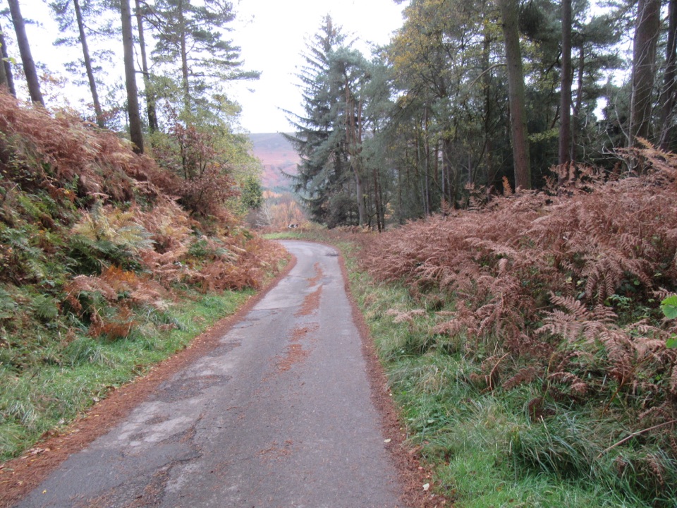
The walk mixes quiet lanes, forest tracks and narrower paths, a wooded cleft thick with mosses, ferns and grasses, easy dale-bottom walking, and open views across the wooded valley to the moorland beyond. The heritage railway line runs close by, so you may hear a whistle or catch steam rising above the trees as you walk.
Difficulty: 6/10. Moderate overall, but with several genuinely steep ascents and descents and stretches of uneven, rocky ground. There are two gates and no stiles. Parts of the route cross Forestry Commission open-access land. Expect occasional forestry vehicles and local traffic on Hardigate Road and the forest tracks, so listen out and step aside on blind corners. Boots with decent grip and ankle support are worth having.
Dogs are welcome under normal control. In the woods they may be off lead if they are reliably controlled, but keep them on a lead in the field near Kale Pot Hole Farm, where livestock may be present.
Park at Levisham station car park, which is also the start and finish of the loop. There are no toilets anywhere on the route. Refreshments can be found in the surrounding villages and may also be available at the station, so it is worth carrying something to eat for the walk itself.
Wildlife
 15 sightingsEurasian OtterMost seen around 7 PMSighting map
 10 sightingsRed DeerMost seen around 7 AMSighting map
 79 sightingsGrey SealMost seen around noonSighting map
 26 sightingsWestern Barn OwlMost seen around 7 PMSighting map
 33 sightingsEuropean BadgerMost seen around 7 PMSighting map
 10 sightingsMute SwanMost seen around noonSighting map
Sighting maps show where each species has been reported across North York Moors. Wildlife moves, so no sighting is guaranteed.
Keep exploring
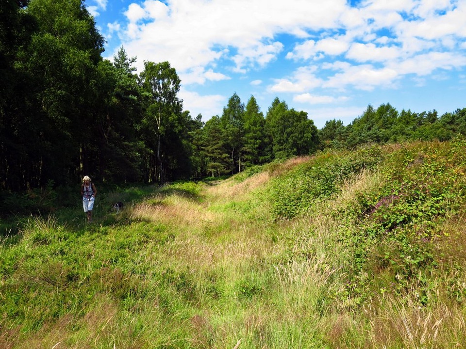 EasyCawthorn Roman Camps Circular1.6 km · 45 min · 3.8 km awayA mile of Roman earthworks, easy paths and a wide moorland viewpoint
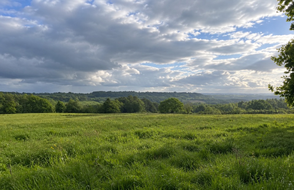 EasyParadise Walk at Cropton Forest2.4 km · 54 min · 4.1 km awaySteady climb to Vale of Pickering views, then an easy return
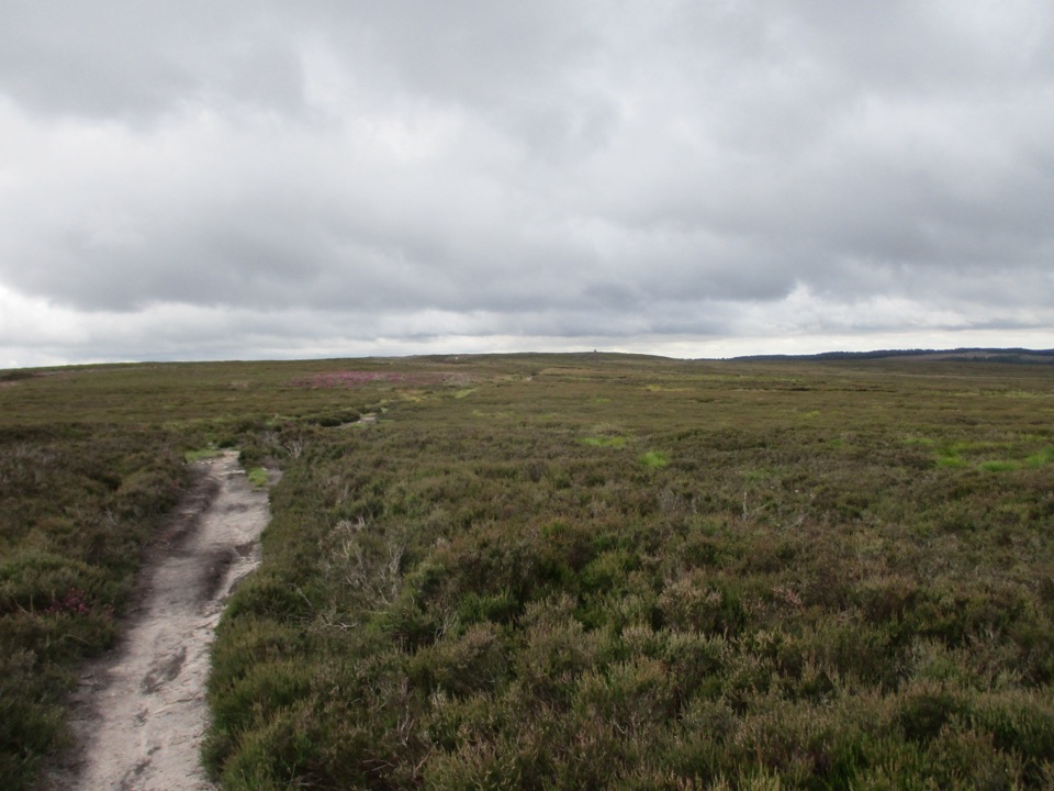 ModerateNewtondale Halt to Goathland Station Walk10.8 km · 3.5 hr · 4.2 km awayRide the rails in, walk out over heather moorland to Goathland
 ModerateLevisham Moor & Hole of Horcum8.4 km · 3 hr · 4.3 km awayA 400-foot amphitheatre, Bronze Age moor, and a slippery rocky griff
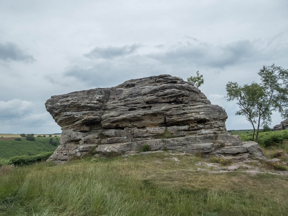 ModerateBridestones and Dovedale Walk12.8 km · 3.3 hr · 4.3 km awayMoorland tracks, Jurassic sandstone, a wooded valley and a quiet lake
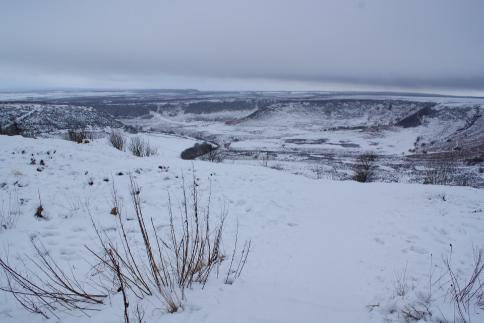 EasyHole of Horcum car park to the viewing platform0.3 km · 12 min · 4.3 km awayShort smooth path to a platform above a 400-foot moorland amphitheatre
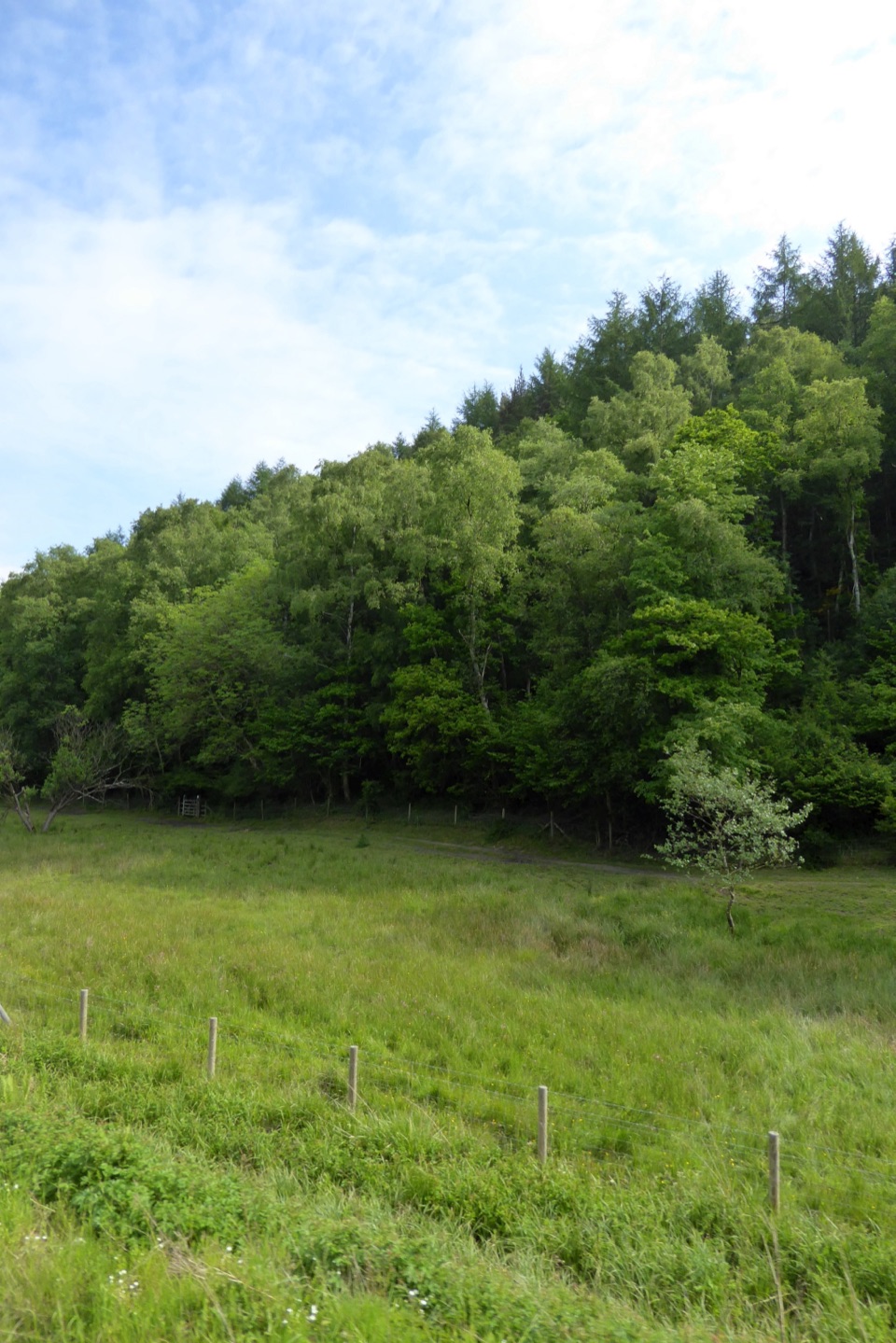 ModerateSaltergate to Pickering Walk22 km · 6.5 hr · 4.3 km awayMoorland edges, sandstone pillars and a long walk down into Pickering
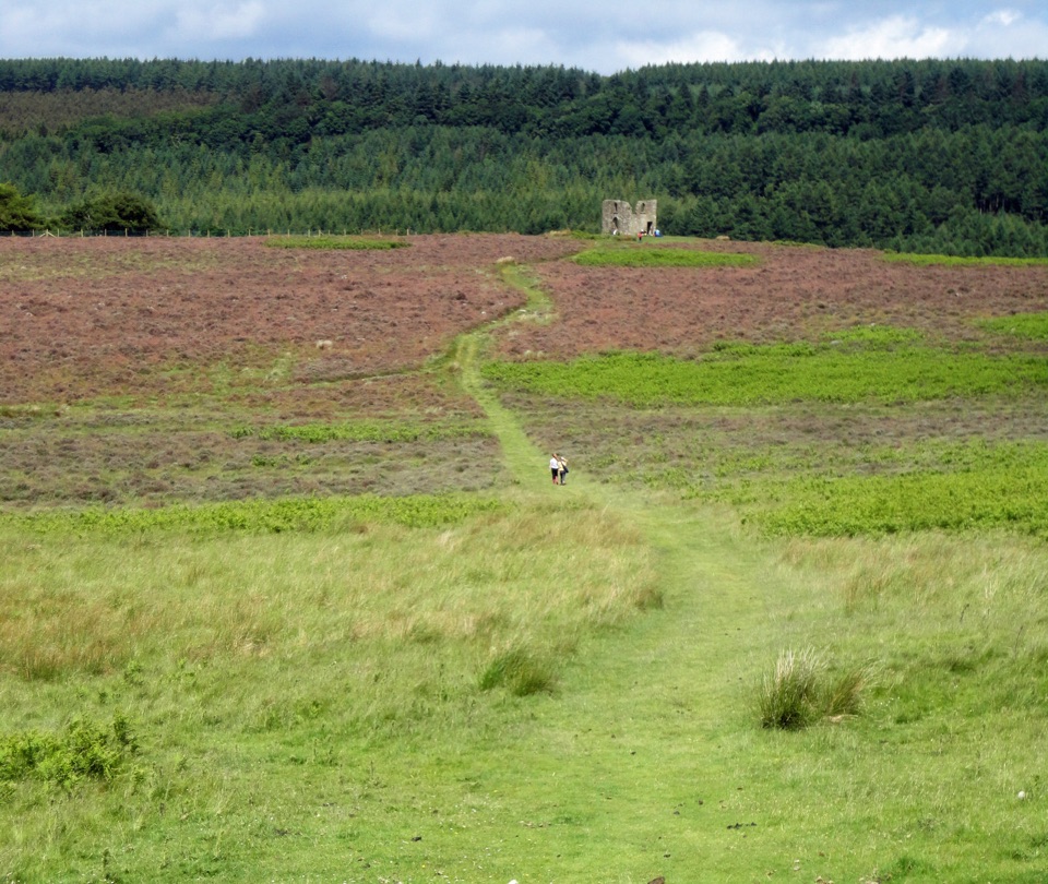 ModerateHole of Horcum Car Park to Skelton Tower11.6 km · 3.3 hr · 4.4 km awayMoorland amphitheatre walk to a ruined tower above Newtondale
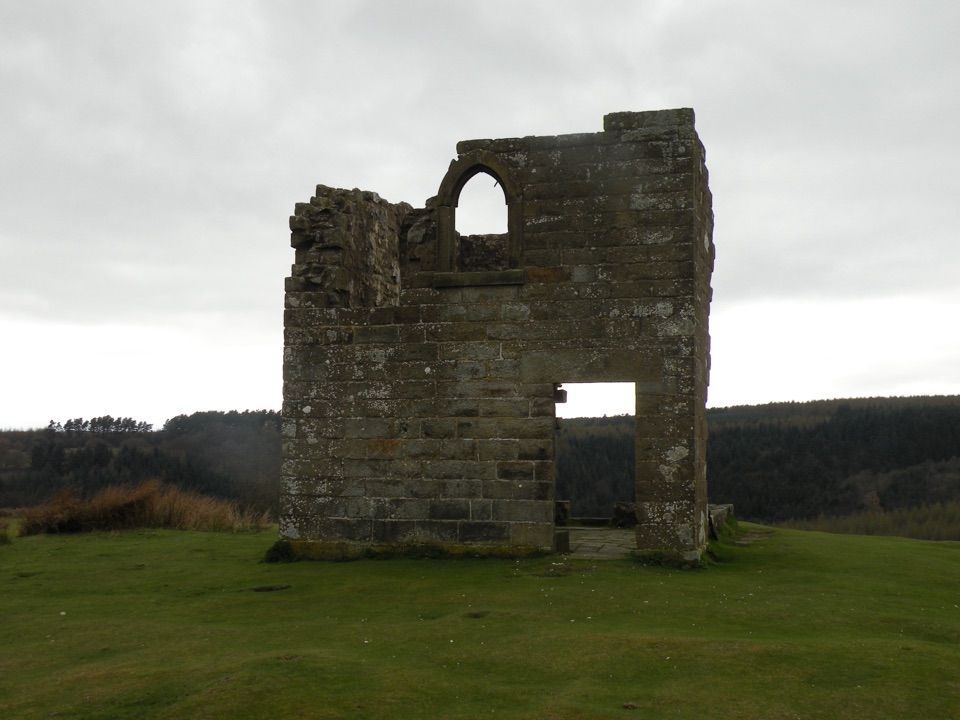 Sight · 1.8 km awaySkelton TowerRuined 1830s shooting lodge perched high above Newtondale's steam railway
 Sight · 3.7 km awayHole of HorcumA 400-foot heather amphitheatre with a short accessible view platform
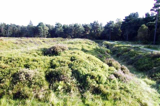 Sight · 3.8 km awayCawthorn Roman CampsMile-long walk around four Roman earthworks with wide moorland views.
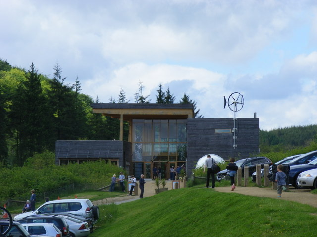 Visitor center · 4.9 km awayDalby Forest Visitor CentreTrail advice, cafe and beckside play at the forest's main hub
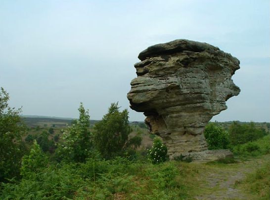 Sight · 5.6 km awayBridestones, Crosscliff and Blakey ToppingJurassic sandstone towers, heather moor and a flat-topped hill to climb
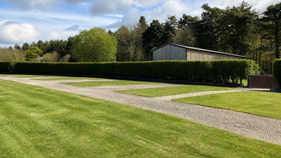 Campground · 6.3 km awayDalby Forest CampsiteFarm-field pitches with moorland views, forest trails and milk vending.
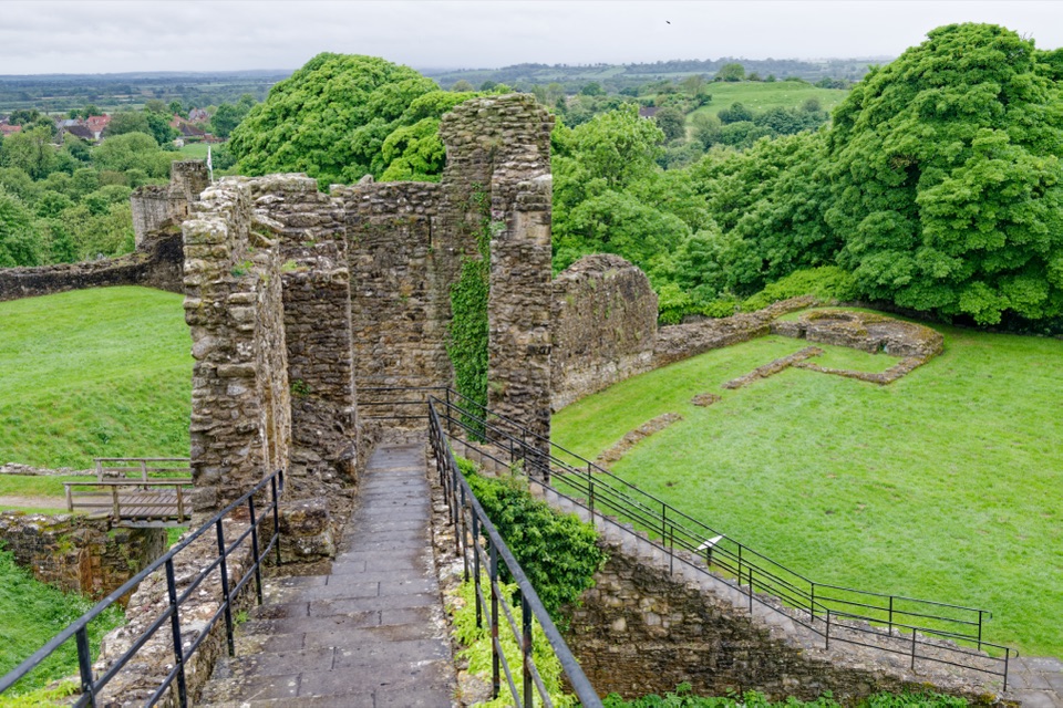 Sight · 6.8 km awayPickering CastleClimb a Norman motte to shell keep ruins and valley views
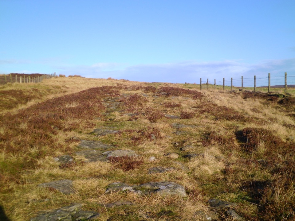 Sight · 6.8 km awayWheeldale Roman RoadAncient stone causeway over heather moor, its builders still debated
Parkwolf’s North York Moors ranking

The audio tour guide for the drive, plus offline maps, trails, and wildlife heatmaps for when the signal drops.




