Best time to go
- After rain the fall is at its most dramatic, though the wet rocks are treacherous.
- Early in the day or on a weekday for a calmer walk.
#9 of 55 sights in North York Moors
Sight · North York Moors National Park
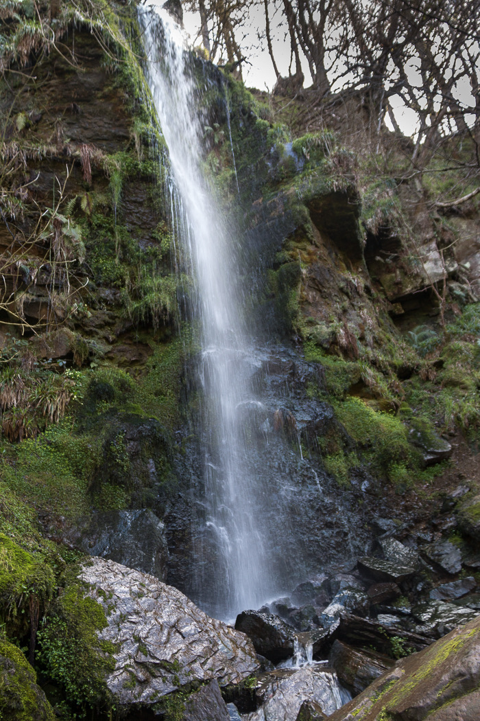
Seventy feet of water down a wooded sandstone ravine near Goathland
Overview
Moorland springs feed a fall of around 70 feet (21 metres) that drops into a wooded sandstone ravine cut by West Beck over a very long stretch of time. The setting does much of the work: a narrow, tree-shaded cleft below the open moor, reached on foot rather than seen from a road.
 Parkwolf’s verdictWhy stop
Map
Plan your stop

The highest, rockiest slopes around here are a summer buffet for grizzly bears.
North York Moors Tour Guide
Parkwolf is a GPS audio tour guide for North York Moors National Park. As you drive, it chimes in with what’s ahead: hidden gems, upcoming stops, history, geology, and wildlife, right through your car’s speakers.
Recorded for this place
Goathland Village and Station“You're coming up on Goathland, where sheep graze the village common and the station sits a short walk downhill.”
Plays as you drive up to Mallyan Spout Waterfall in the Parkwolf North York Moors Tour Guide.
More stories near here in the app
“Fantastic app with many points of information… It’s great to just turn on while you’re driving and it gives you an audio tour of the national Park. We love it!!!!”


Guide
Goathland grew into a Victorian tourist destination after the railway arrived in 1836, and the waterfall added to the village's small spa appeal. Victorian visitors walked down into the gorge for much the same reason you would.
Pay-and-display parking and public toilets are documented at the Goathland walk start, not at the waterfall. Refreshments are available in Goathland and Beck Hole.
Expect steps and gates, ground that turns muddy and slippery, and a challenging rocky path beside West Beck on the last stretch to the fall. Steep drops and fast-moving water sit close to the path. Dogs should be kept under control and on a lead near livestock and fast water. If you want a flat, easy stroll, this is the wrong outing.
Wildlife
 15 sightingsEurasian OtterMost seen around 7 PMSighting map
 10 sightingsRed DeerMost seen around 7 AMSighting map
 79 sightingsGrey SealMost seen around noonSighting map
 26 sightingsWestern Barn OwlMost seen around 7 PMSighting map
 33 sightingsEuropean BadgerMost seen around 7 PMSighting map
 10 sightingsMute SwanMost seen around noonSighting map
Sighting maps show where each species has been reported across North York Moors. Wildlife moves, so no sighting is guaranteed.
Keep exploring
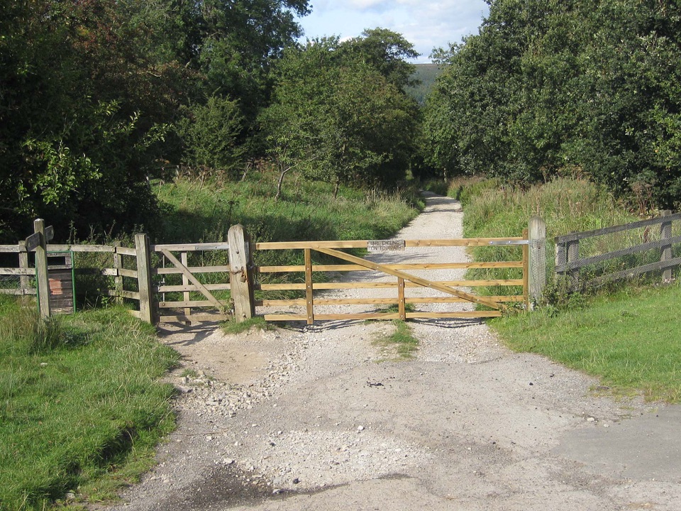 ModerateGoathland & Grosmont Circular12.4 km · 4.3 hr · 0.9 km awayWooded old railway down to Grosmont, then open moorland climb home
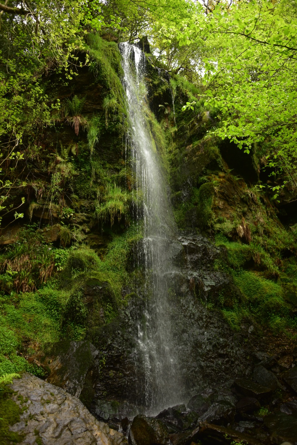 ModerateGoathland, Mallyan Spout and the Roman Road13.2 km · 4.3 hr · 1 km awayWaterfall ravine, open heather moor and an ancient moorland causewayEasyMallyan Spout and Beck Hole4.3 km · 1.5 hr · 1 km awayA 70-foot ravine waterfall, then a wooded beck and old railway incline
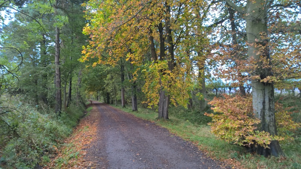 EasyGoathland Centenary Walk3.2 km · 1.3 hr · 1.1 km awayGentle two-mile village loop remembering 12 men lost in the Great War
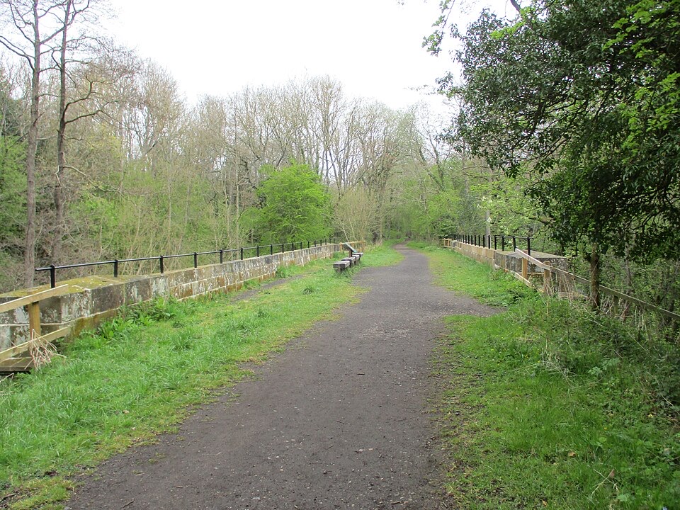 EasyGoathland to Grosmont Rail Trail5.6 km · 1.8 hr · 1.3 km awayGentle downhill walk along an 1836 railway line to Grosmont
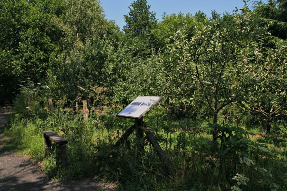 EasyMiles without Stiles (For all) - Esk Valley to Beck Hole4.8 km · 1.2 hr · 3.3 km awayLevel old railway beside the Murk Esk, three bridges to Beck Hole
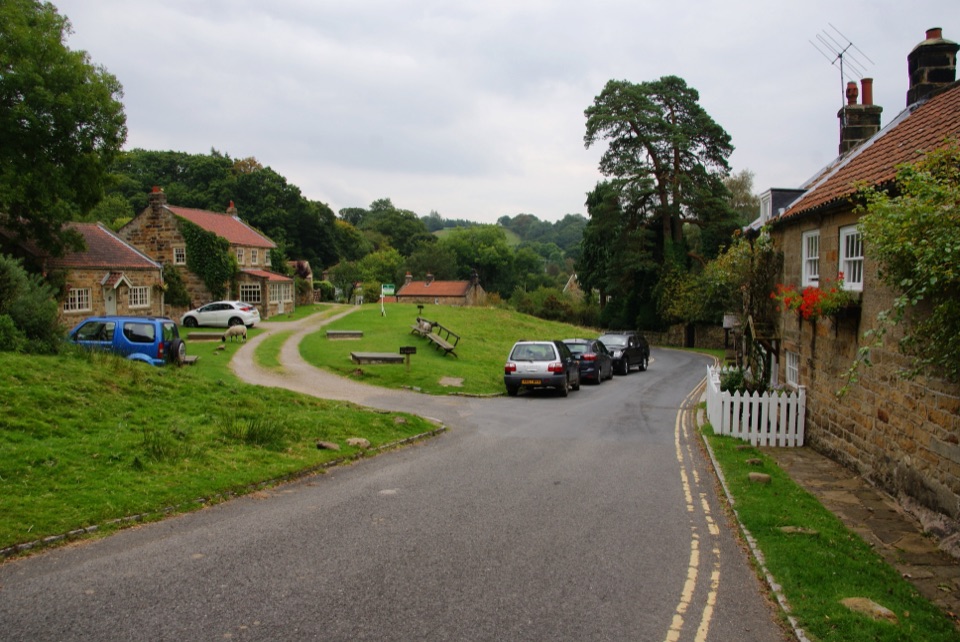 ModerateGrosmont to Beck Hole7.6 km · 2.3 hr · 4.3 km awayBluebell woods, riverside valley, then an old railway line home
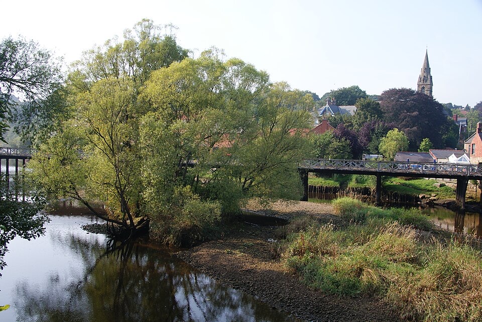 ChallengingGrosmont to Whitby (Esk Valley Walk 4)12.9 km · 3.3 hr · 4.6 km awayValley bridleways and villages from steam railway to Whitby pier
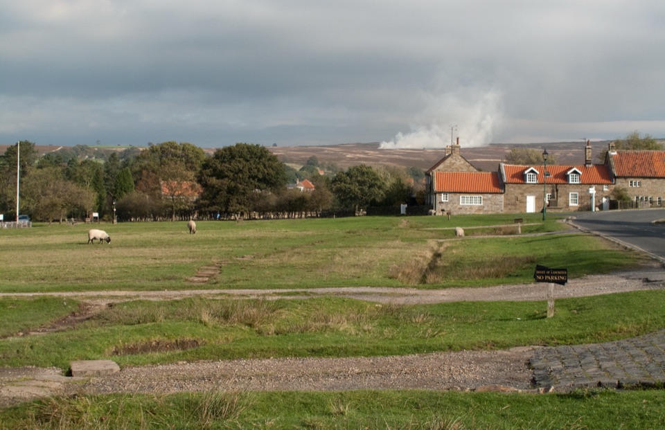 Sight · 0.8 km awayGoathlandSheep-grazed moorland village with a 70-foot waterfall below it
 Sight · 1.3 km awayGoathland StationGoathland Station: steam-age platform, Hogsmeade and Aidensfield on screen
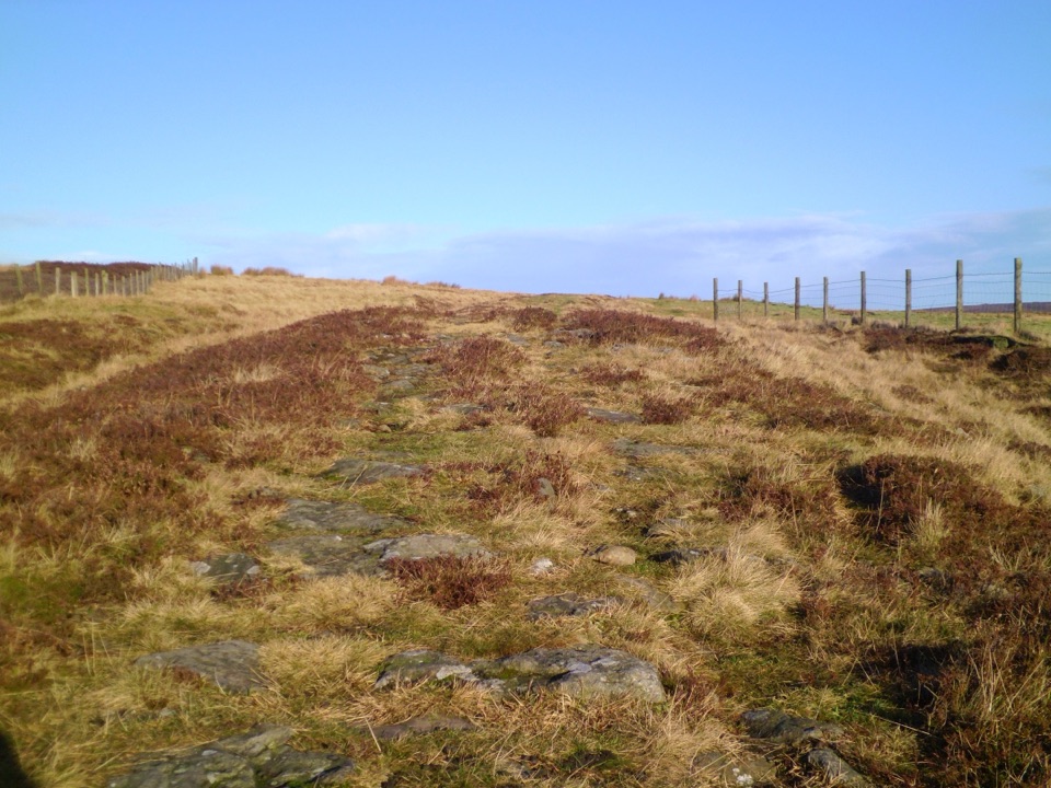 Sight · 3.7 km awayWheeldale Roman RoadAncient stone causeway over heather moor, its builders still debated
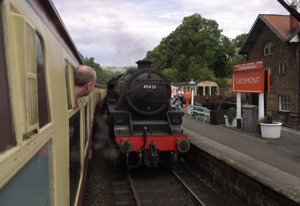 Sight · 4.3 km awayGrosmont StationEngine sheds, an 1835 tunnel and steam locomotives at work
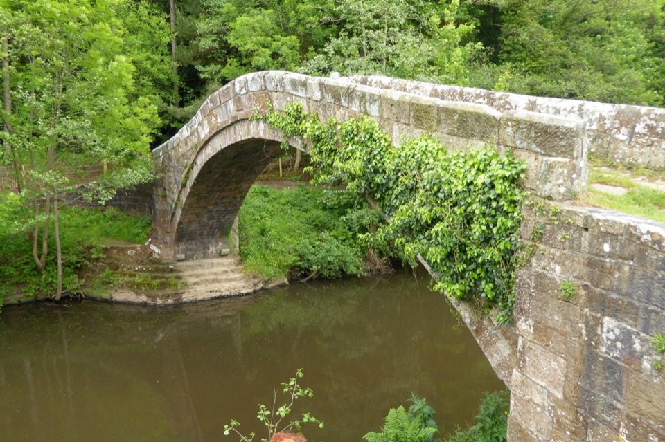 Sight · 6 km awayBeggar's BridgeHigh-arched 1619 packhorse bridge with a lovers' legend beside the Esk
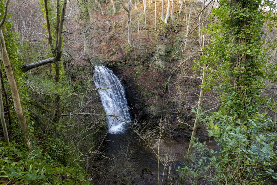 Sight · 6.8 km awayFalling Foss WaterfallA 9-metre fall of water in a steep, wooded valley near Whitby
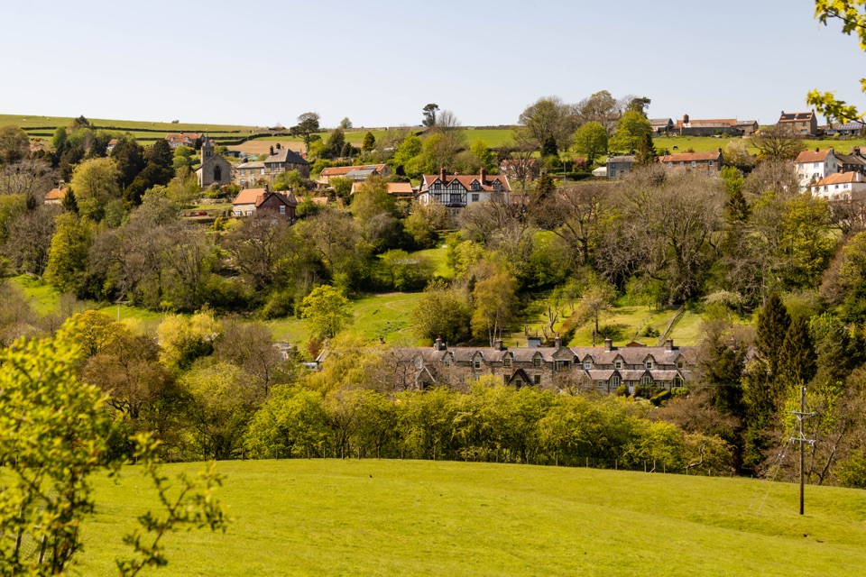 Sight · 6.9 km awayGlaisdaleStone cottages on a steep Esk Valley hillside, walks below
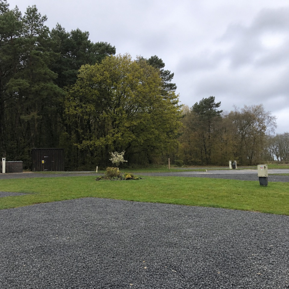 Campground · 7.5 km awayNorth Yorkshire Moors Club CampsiteQuiet wooded pitches with moorland views and walks from the gate
Parkwolf’s North York Moors ranking
The audio tour guide for the drive, plus offline maps, trails, and wildlife heatmaps for when the signal drops.




