Best time to go
Go on a dry day if the stepping stones matter to you, and expect to use the bridge after wet weather. Spring and summer suit a visit combined with the seasonal Moorsbus, or with a walk linked to the railway.
Sight · North York Moors National Park
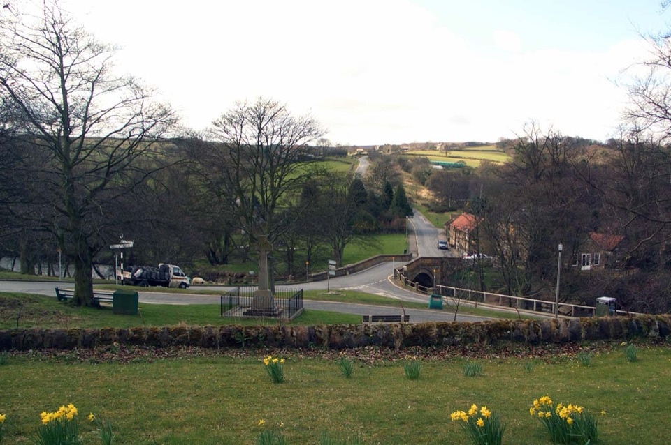
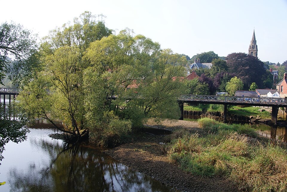
Stepping stones, a 17th-century bridge and a green by the Esk
Overview
This is a compact riverside village, not a day out on its own. It works best as a short break on an Esk Valley drive, walk or rail trip, or as the start or finish of a longer walk.
 Parkwolf’s verdictWhy stop
Map
Plan your stop

The highest, rockiest slopes around here are a summer buffet for grizzly bears.
North York Moors Tour Guide
Parkwolf is a GPS audio tour guide for North York Moors National Park. As you drive, it chimes in with what’s ahead: hidden gems, upcoming stops, history, geology, and wildlife, right through your car’s speakers.
Recorded for this place
Lealholm and the River Esk“You're approaching Lealholm, a small village gathered around the River Esk's seventeenth-century bridge.”
Plays as you drive up to Lealholm in the Parkwolf North York Moors Tour Guide.
More stories near here in the app
“Fantastic app with many points of information… It’s great to just turn on while you’re driving and it gives you an audio tour of the national Park. We love it!!!!”


Guide
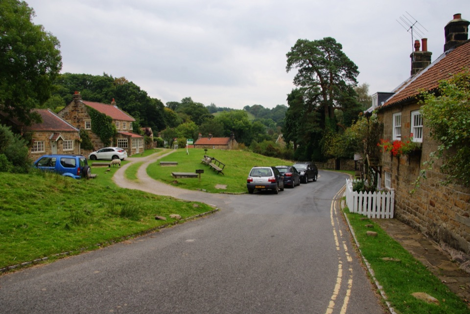
The village sits at the bottom of steep Crunkly Ghyll, where it grew up around a crossing of the River Esk. The seventeenth-century bridge carries the road over the water, with riverside buildings, the village green and the church all close by in a small, walkable core.
A line of named stepping stones fords the Esk beside the village.
For a village this size the choice is decent: two tea rooms, a bakery, a post office and village store, a fuel and service station, and a pub, The Board Inn. Enough for a coffee, a cake or a pint, and enough to restock if you are walking.
The village has its own stop on the Esk Valley Railway, which makes it one of the easier moorland villages to reach without a car. Paths through the village form part of the Esk Valley Walk, and a seasonal summer Moorsbus also serves it.
The best known route is Lealholm to Grosmont, 5.75 miles and roughly three hours, mostly easy going, with gates, one stile and a stone trod that gets slippery after rain. Walking one way and returning by train is the classic plan.
The name means settlement by the willow trees. A corn mill worked here from the fourteenth century until shortly after the Second World War, and the river crossing shaped the village layout. The church, St James, is a 1902 building by Temple Moore. Look out for the flood lines marked 1840 and 1930, a blunt reminder of what the Esk can do.
Wildlife
 15 sightingsEurasian OtterMost seen around 7 PMSighting map
 10 sightingsRed DeerMost seen around 7 AMSighting map
 79 sightingsGrey SealMost seen around noonSighting map
 26 sightingsWestern Barn OwlMost seen around 7 PMSighting map
 33 sightingsEuropean BadgerMost seen around 7 PMSighting map
 10 sightingsMute SwanMost seen around noonSighting map
Sighting maps show where each species has been reported across North York Moors. Wildlife moves, so no sighting is guaranteed.
Keep exploring
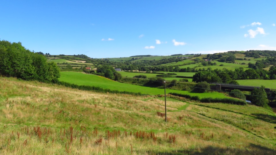 ModerateLealholm to Grosmont (Esk Valley Walk 3)9.3 km · 3 hr · 0.2 km awayRiverside miles between four Esk Valley villages, station to station
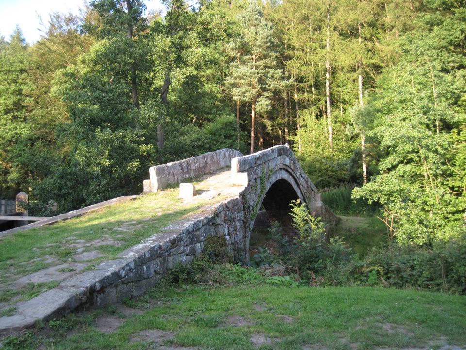 ModerateGlaisdale and Egton Bridge8 km · 3.5 hr · 2.9 km awayAncient stone trods, a 1619 bridge, and high Esk Valley views
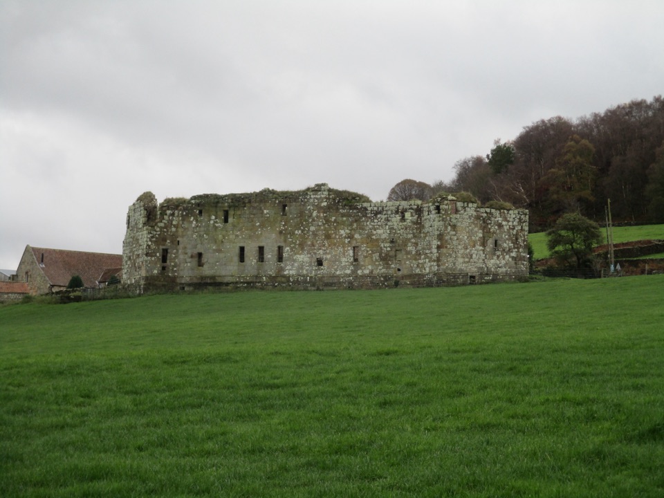 EasyDanby Castle Walk3.7 km · 1 hr · 4.6 km awayA short loop to a castle spur, returning over humpbacked Duck Bridge
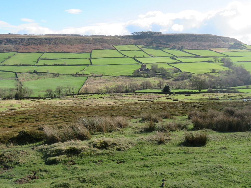 ModerateDanby, Ainthorpe and Little Fryup Dale Walk9 km · 3.3 hr · 4.6 km awayRidge views, a standing stone and a castle above Little Fryup Dale
 ChallengingGrosmont to Whitby (Esk Valley Walk 4)12.9 km · 3.3 hr · 6.4 km awayValley bridleways and villages from steam railway to Whitby pier
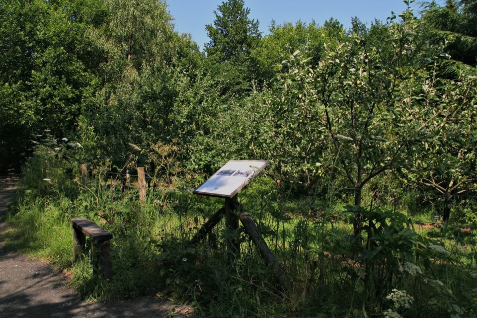
 ModerateGrosmont to Beck Hole7.6 km · 2.3 hr · 6.7 km awayBluebell woods, riverside valley, then an old railway line home
 EasyMiles without Stiles (For all) - Esk Valley to Beck Hole4.8 km · 1.2 hr · 6.8 km awayLevel old railway beside the Murk Esk, three bridges to Beck Hole
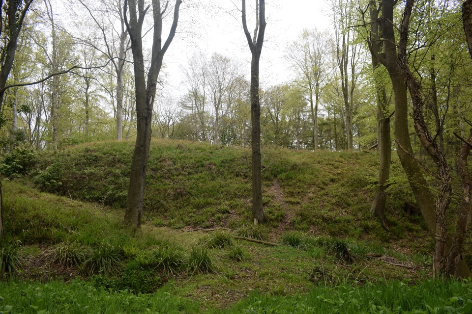 ModerateFoss Mill Crossing8 km · 2.8 hr · 7 km awayField paths and beck bridges to Foss Mill's ruins and Foss Castle
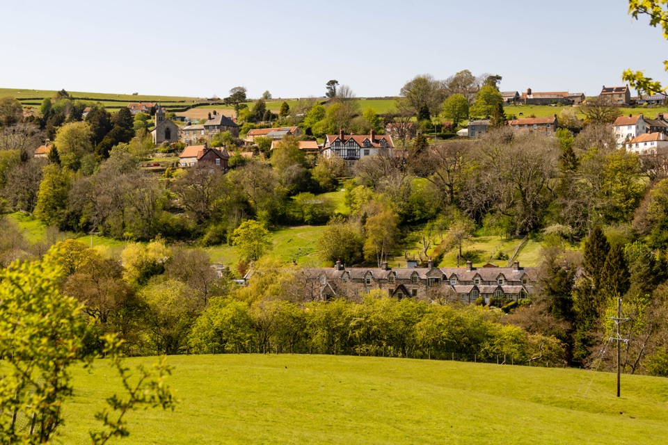 Sight · 2.2 km awayGlaisdaleStone cottages on a steep Esk Valley hillside, walks below
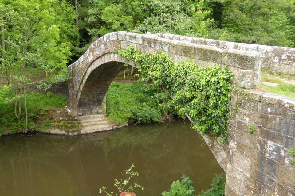 Sight · 3 km awayBeggar's BridgeHigh-arched 1619 packhorse bridge with a lovers' legend beside the Esk
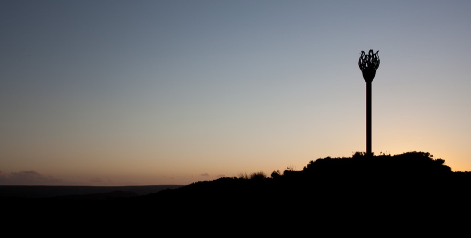 Sight · 3.2 km awayDanby BeaconFlame-shaped steel beacon on high moor, with sweeping coastal views
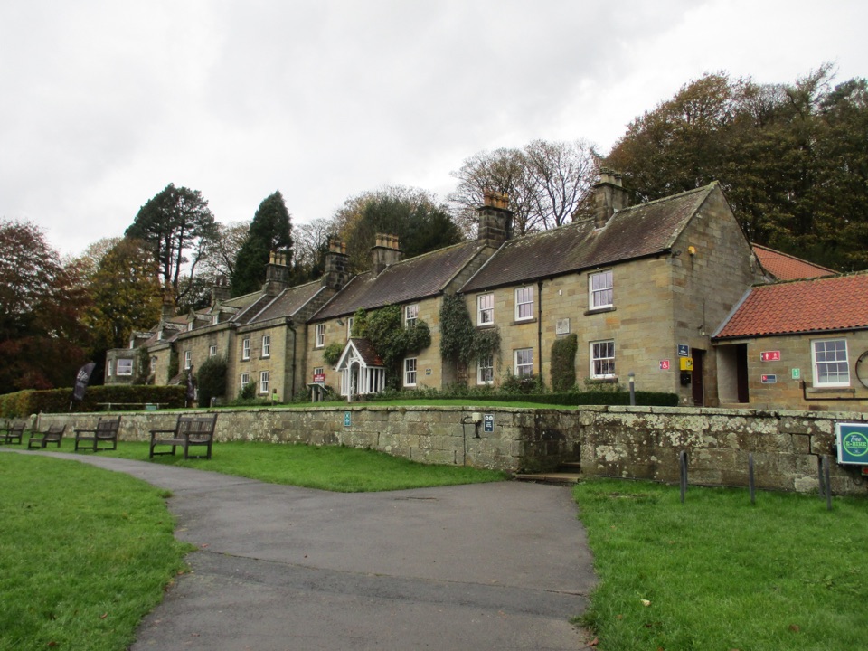 Visitor center · 4.7 km awayDanby Lodge National Park CentreDanby Lodge: riverside grounds, adventure play and ironstone heritage
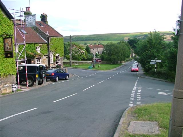 Sight · 5.6 km awayDanbyStone estate cottages where the Esk Valley meets open moorland
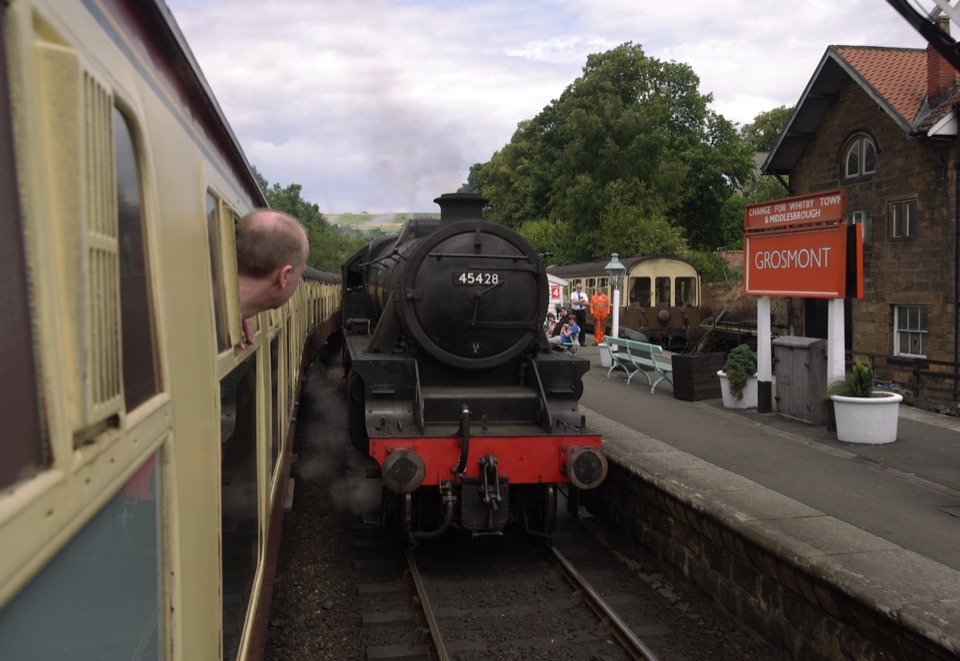 Sight · 6.9 km awayGrosmont StationEngine sheds, an 1835 tunnel and steam locomotives at work
Parkwolf’s North York Moors ranking
The audio tour guide for the drive, plus offline maps, trails, and wildlife heatmaps for when the signal drops.





