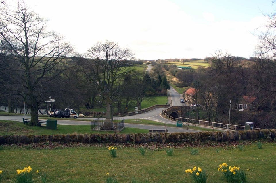
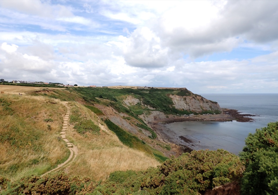
Foss Mill Crossing in North York Moors National Park

North York Moors National Park, EN

Foss Mill Crossing

Field paths and beck bridges to Foss Mill's ruins and Foss Castle

Photo: Wikimedia Commons
Length
8km
Time
2.8hr
Elev. change
90m
Difficulty
Moderate
  • Dogs allowed
  • High point 190 m

Hear the audio tour

The Windhover's Still Head

Overview

About Foss Mill Crossing

Why go

  • Foss Mill and Foss Castle heritage in one linear walk
  • Varied mix of woodland, becks and estate fields

Heads up

  • Point-to-point logistics need a return plan
  • Busy A174 crossing and livestock fields

Map & elevation

The route

Loading the North York Moors map
Full map
Elevation100–190 m
TrailheadAllerton Head, Hutton Mulgrave54.47714, -0.72103
Keep this map with you offline in the Parkwolf app

Plan your hike

Before you go

Parking

This is a point-to-point walk from Allerton Head near Hutton Mulgrave to the Goldsborough end. No dedicated trailhead car park is documented in the route material, so park only where legal without blocking lanes, gates or field entrances and arrange transport back from the finish.

Best time to go

Late spring through early autumn gives the driest field margins and the longest daylight for a linear walk plus transport back. Autumn suits the woodland sections for colour, and winter can leave the descents and field edges heavy underfoot. Early morning and the last couple of hours of daylight give the softest light for the beck bridges, the mill remains and the woodland canopy, while midday works better for open field and coast facing stretches. Bring a lens or setting that copes with deep woodland shade next to bright open ground.

Safety

Cross the A174 with extreme care; it is a busy through road. Expect uneven or soft woodland and field footing, gates, steps and beck bridges, and keep dogs and children close around livestock.

8 active North York Moors alerts

  • ClosureHawnby Bridleway 110 closurePublic Bridleway 25.122/110/1 in Hawnby is closed to pedestrians, cyclists and equestrians because its bridge is unsafe. - The closure is between grid references SE 5309 9073 and SE 5335 9097.Official details
  • ClosureWest Ayton Footpath 1 closurePublic Footpath 1 in West Ayton (Forge Valley) is temporarily closed because its boardwalk is unsafe. - The closure is between SE 9860 8494 and SE 9839 8712.Official details
See all 8 alerts
A park ranger sits on a dash-mounted phone, talking, as Parkwolf’s Tour Guide plays “Army Cutworm Moths: A Grizzly Bear Buffet” on Grand Loop Road below Dunraven Pass in Yellowstone
Parkwolf Tour GuideThe highest, rockiest slopes around here are a summer buffet for grizzly bears.

North York Moors Tour Guide

Your drive to Foss Mill Crossing, narrated.

Parkwolf is a GPS audio tour guide for North York Moors National Park. As you drive, it chimes in with what’s ahead: hidden gems, upcoming stops, history, geology, and wildlife, right through your car’s speakers.

Recorded for this area

The Windhover's Still Head
0:00 / 0:30
“A bird hanging almost still over an open field may be a kestrel. Its wings beat and its long tail fans, but watch the head: it stays remarkably steady while the bird searches for voles below.”

Plays on the road 1.5 km from the trailhead in the Parkwolf North York Moors Tour Guide.

More stories near here in the app

  • The Castle Without Stone Walls
  • The Scream Above the Rooftops
  • When Easter Had Two Dates
  • How Otters Returned to the Esk
  • 298 audio storiesacross North York Moors’s roads, triggered by GPS as you drive
  • Wildlife heatmapsfor Eurasian Otter, Red Deer, Grey Seal, and 13 more
  • Works offlinemaps, 126 trails, 65 places, and audio download before you lose signal
  • CarPlay readysimple controls built for the drive
★★★★★
“Fantastic app with many points of information… It’s great to just turn on while you’re driving and it gives you an audio tour of the national Park. We love it!!!!”
JMJamesApp Store review
Download Parkwolf on the App StoreGet Parkwolf on Google Play

4.7 from 8,600+ ratings

Trail guide

Hiking Foss Mill Crossing

What this walk isFoss Mill Crossing is a waymarked 5 mile point-to-point walk, not a loop.

Foss Mill Crossing is a waymarked 5 mile point-to-point walk, not a loop. It starts at Allerton Head near Hutton Mulgrave and ends where it meets Guard House Way near Goldsborough, so you finish some distance from where you began.

On distance: the official visitor figure is 5 miles (about 8.0 km). A simplified mapped corridor for the route measures around 6.22 km, but that lower number relies on mapped anchors and existing tracks, and several of the newer field and concessionary sections are only sparsely represented in open mapping. The rounded 5 miles remains the better supported figure for the full end to end experience.

Sequence and payoffFrom Allerton Head the route passes through a metal gate and drops with woodland on the left,…

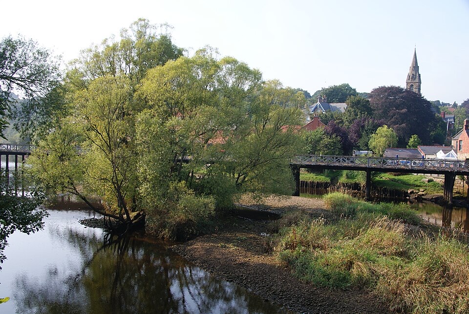
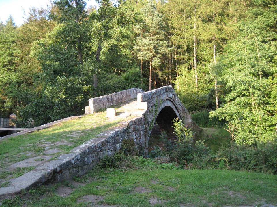
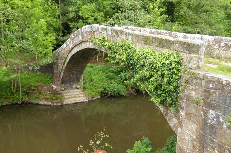
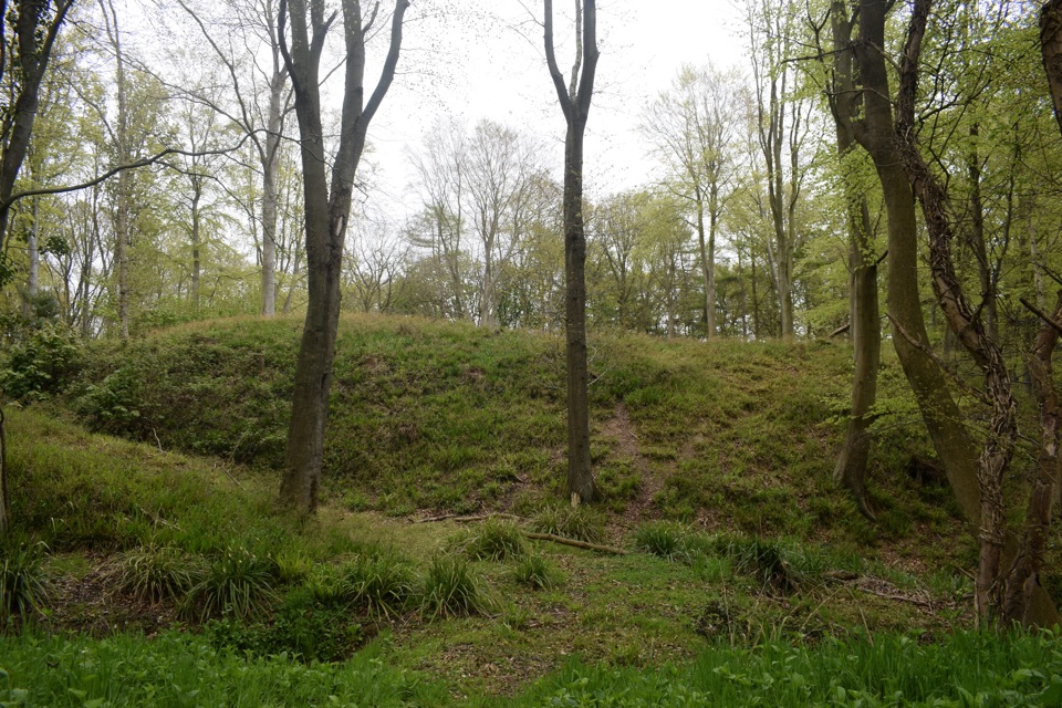
From Allerton Head the route passes through a metal gate and drops with woodland on the left, crosses open pasture and a track, then enters woodland on a descent to East Row Beck at Neddar's Bridge. A gate leads up into an arable field, along a grass margin edged with blackthorn scrub, then down to Foss Mill, where a wooden bridge crosses Barnby Beck beside the mill remains and the Foss Castle site.

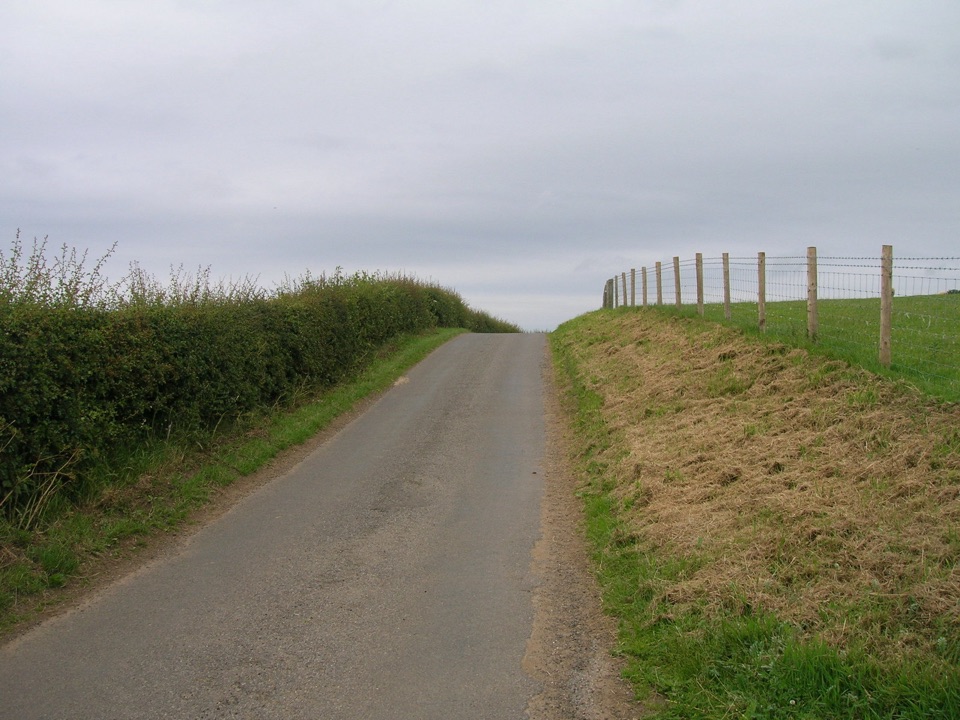
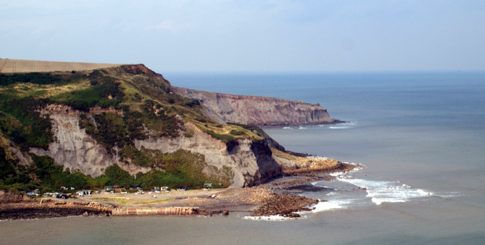
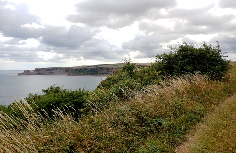
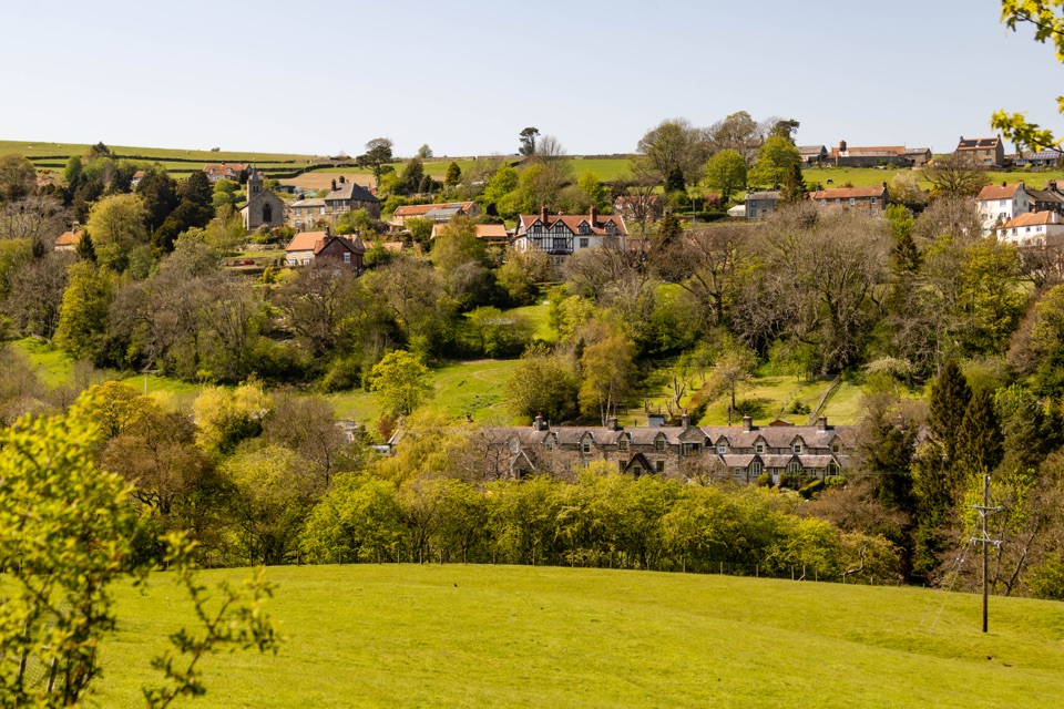
Beyond the woods the walk climbs out, crosses a narrow country road, follows field boundaries and woodland to East Barnby Lane, crosses the A174, picks up Tinley Lane, then crosses more blackthorn and open field ground to the three-way waymarker at Guard House Way. The reward is the shift from working estate fields into quiet woodland heritage rather than any single viewpoint, with valley and coast views opening up in places along the wider path network.

Difficulty and footingThis is a moderate country walk rather than a technical one.

This is a moderate country walk rather than a technical one. Elevation along the mapped corridor ranges roughly between 100 m and 190 m, with several ups and downs into and out of the wooded becks. A cumulative ascent figure has not been independently established, so treat the climbs as noticeable but not sustained.

Expect variable footing:

Boots with grip and ankle support suit the field and woodland sections better than trainers.

  • woodland tracks and descents that can be soft or slippery
  • pasture and arable field edges, including grass margins
  • gates, steps and two beck bridges
  • short sections of lane and one road crossing
Crossings, gates and land useThe A174 crossing is the one material hazard.

The A174 crossing is the one material hazard. It is a busy through road, so cross with care, in good visibility, and keep groups and children close. There is also a narrow country road to cross earlier in the route.

Much of the walk uses waymarked and concessionary paths across working rural land within the Mulgrave Estate area. Close every gate you open, stay on the waymarked line, keep to field margins where the route follows them, and give livestock and farm operations space.

Access and transportVisitor access is at Allerton Head near Hutton Mulgrave, in the Kitter Lane area.

Visitor access is at Allerton Head near Hutton Mulgrave, in the Kitter Lane area. No dedicated trailhead car park is documented for this route, so park considerately and legally without blocking lanes, gates or field entrances. Because the walk is point to point, plan your return from the Goldsborough end before you set out, whether that is a second vehicle, a lift, or linking with other waymarked paths in the area.

DogsDogs are allowed under control.

Dogs are allowed under control. With pasture, arable fields and livestock along the way, keep dogs close and on a lead wherever animals are present or the route runs beside crops and field boundaries. Off lead access is not promised anywhere on this line.

A useful alternativeIf you want a shorter or differently shaped outing in the same area, Guard House Way connects…

If you want a shorter or differently shaped outing in the same area, Guard House Way connects directly at the finish waymarker and can be combined or walked separately, which also helps if you would rather split the distance across two visits.

Wildlife

Wildlife in North York Moors

All North York Moors wildlife maps

Sighting maps show where each species has been reported across North York Moors. Wildlife moves, so no sighting is guaranteed.

Keep exploring

Near Foss Mill Crossing

See it all on the map

Trails that start nearby

Places near the trailhead

Parkwolf’s North York Moors ranking

Top-rated trails in North York Moors

All 126 trails
  1. 1Cleveland Way National TrailChallenging · 175.4 km
  2. 2Coast to Coast Path National TrailChallenging · 305.8 km
  3. 3Roseberry Topping and Cook’s MonumentModerate · 11.6 km
  4. 4Levisham Moor & Hole of HorcumModerate · 8.4 km
  5. 5Ravenscar to Robin Hood's BayChallenging · 17.7 km
  6. 6Lyke Wake WalkChallenging · 64.7 km

Take Parkwolf to North York Moors.

The audio tour guide for the drive, plus offline maps, trails, and wildlife heatmaps for when the signal drops.

4.7 from 8,600+ ratings

Download Parkwolf on the App StoreGet Parkwolf on Google Play