Parking
Start at the large pay-and-display car park by Danby Lodge National Park Centre on Lodge Lane, Danby, YO21 2NB. Danby Station is about a 20-minute walk away along a minor road.
North York Moors National Park, EN
Ridge views, a standing stone and a castle above Little Fryup Dale
Overview
Several road and lane sections break up the off-road feel, the Crossley Side drop is steep enough to slow a group down, wet weather turns parts of it claggy, and livestock means constant dog management. If you want something shorter, the centre is also a base for shorter local walks.
 Parkwolf’s verdictDrawbacks worth knowing
Map & elevation
Plan your hike

The highest, rockiest slopes around here are a summer buffet for grizzly bears.
North York Moors Tour Guide
Parkwolf is a GPS audio tour guide for North York Moors National Park. As you drive, it chimes in with what’s ahead: hidden gems, upcoming stops, history, geology, and wildlife, right through your car’s speakers.
Recorded for this trailhead
Danby Lodge National Park Centre“You're approaching Danby Lodge National Park Centre, once a farmhouse and shooting lodge beside the River Esk.”
Plays as you drive up to this trailhead in the Parkwolf North York Moors Tour Guide.
More stories near here in the app
“Fantastic app with many points of information… It’s great to just turn on while you’re driving and it gives you an audio tour of the national Park. We love it!!!!”


Trail guide
A circular loop of 5.6 miles (9.1 km) from Danby Lodge National Park Centre, back to the same car park. That figure matches the mapped route and the route description; one other guide rounds it up to 5.9 miles, so treat small differences as normal. Allow about 3 hours 20 minutes, realistically 3 to 4 hours with photo stops, gates and a slower descent.
You cross the railway and a run of fields into Ainthorpe, then climb steadily onto Ainthorpe Rigg, where the views open out across the moors. A standing stone sits beside the ridge path, and the ground falls away sharply at Crossley Side before you drop into Little Fryup Dale. The second half is gentler going: past Stonebeck Gate Farm, along Castle Lane by Danby Castle, a 14th century estate landmark, then down to Duck Bridge over the River Esk and back on the outward path.
Call this moderate, not easy, even though one guide grades it easy to moderate.
Published ascent varies because one guide gives a single climb figure and another counts cumulative ups and downs, so ignore precise numbers and expect steady effort throughout.
The ridge is open, high and exposed, with no shelter if the wind or weather turns, so carry layers and something waterproof. Waymarking through the fields and bridleways is not obvious at every turn, so bring a map or GPS track rather than relying on signs.
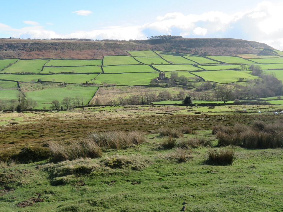
Wide moorland views from Ainthorpe Rigg and Crossley Side, the quiet enclosed bowl of Little Fryup Dale, working farmland stitched together with dry-stone walls, and the castle and old bridge as the human-scale finish near the Esk.
Start from the large pay-and-display car park at Danby Lodge National Park Centre, Lodge Lane, Danby, YO21 2NB, beside the River Esk and close to local walking trails. Danby Station is about a 20 minute walk from the start along a minor road, which makes this doable without a car.
Dogs are welcome on the route with real conditions attached:
Wildlife
 15 sightingsEurasian OtterMost seen around 7 PMSighting map
 10 sightingsRed DeerMost seen around 7 AMSighting map
 79 sightingsGrey SealMost seen around noonSighting map
 26 sightingsWestern Barn OwlMost seen around 7 PMSighting map
 33 sightingsEuropean BadgerMost seen around 7 PMSighting map
 10 sightingsMute SwanMost seen around noonSighting map
Sighting maps show where each species has been reported across North York Moors. Wildlife moves, so no sighting is guaranteed.
Keep exploring
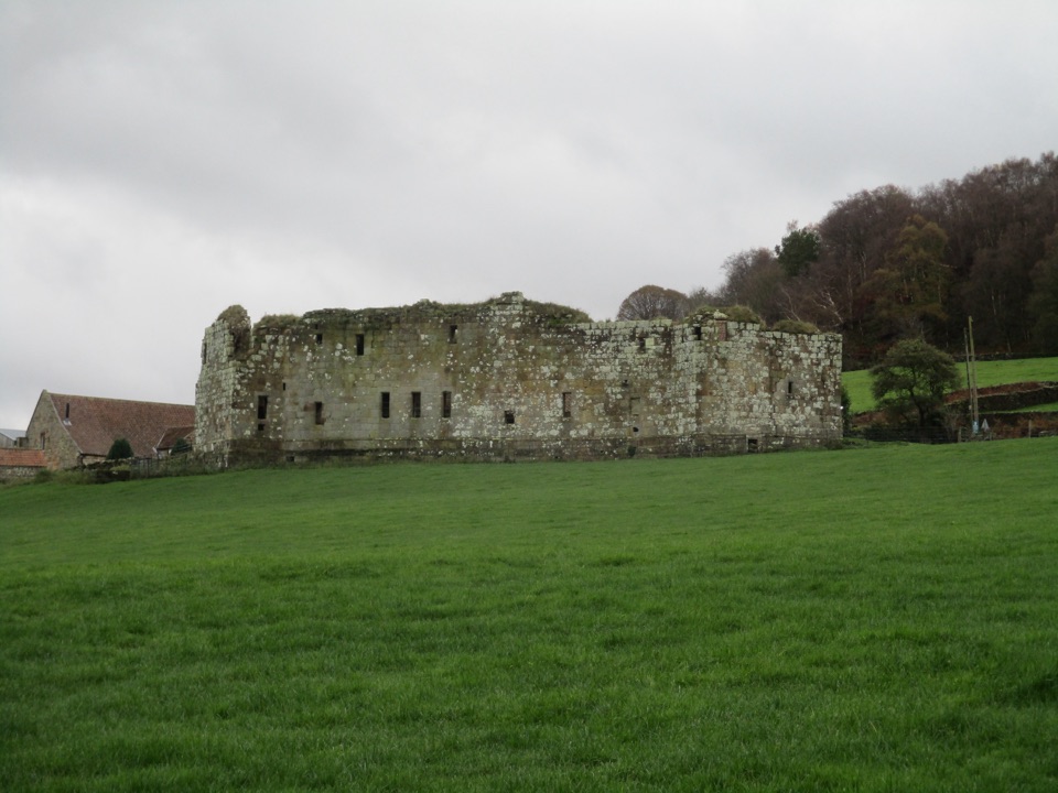 EasyDanby Castle Walk3.7 km · 1 hr · At the trailheadA short loop to a castle spur, returning over humpbacked Duck Bridge
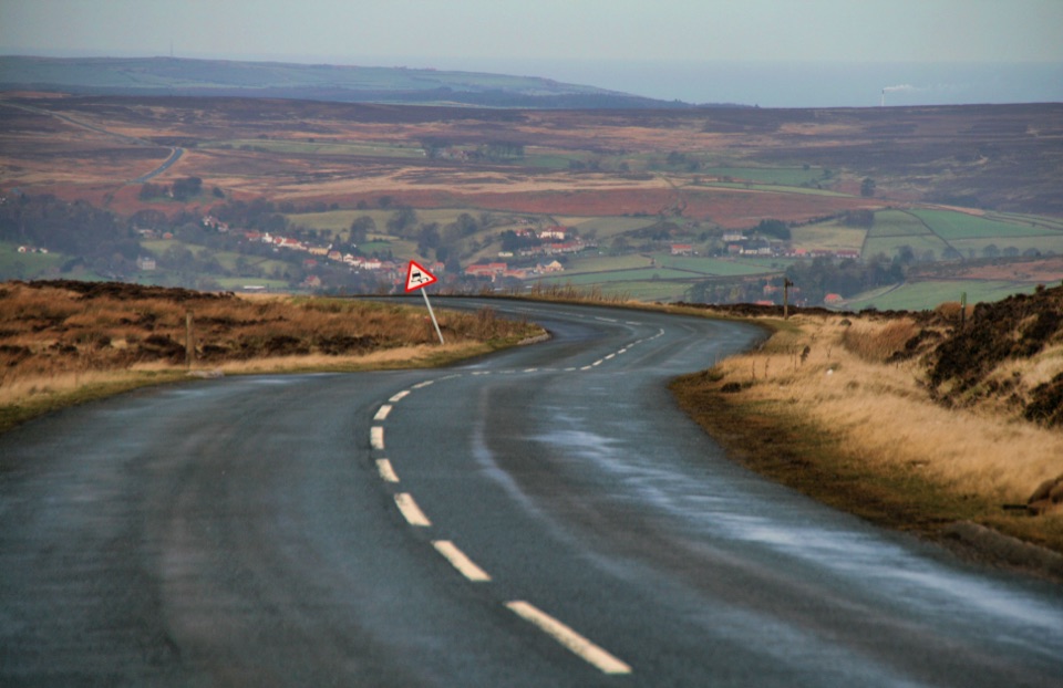 ChallengingDanby Dale, Blakey and Westerdale (Esk Valley Walk 1)24.5 km · 6.5 hr · 3.2 km awayBig moorland loop from Castleton over Blakey Ridge past Fat Betty
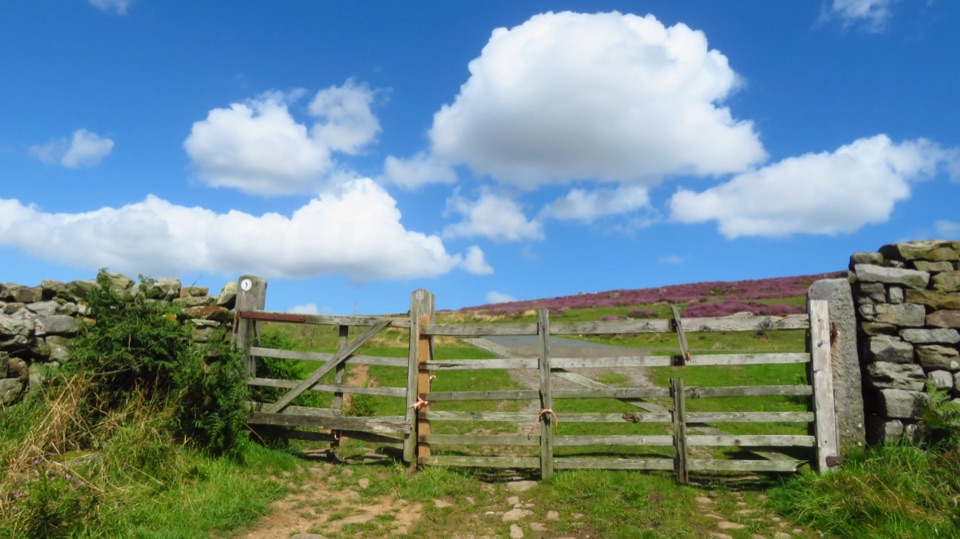 ModerateCastleton to Lealholm (Esk Valley Walk 2)12.1 km · 4 hr · 3.3 km awayWooded valley paths climb to Danby Beacon, then moor down to Lealholm
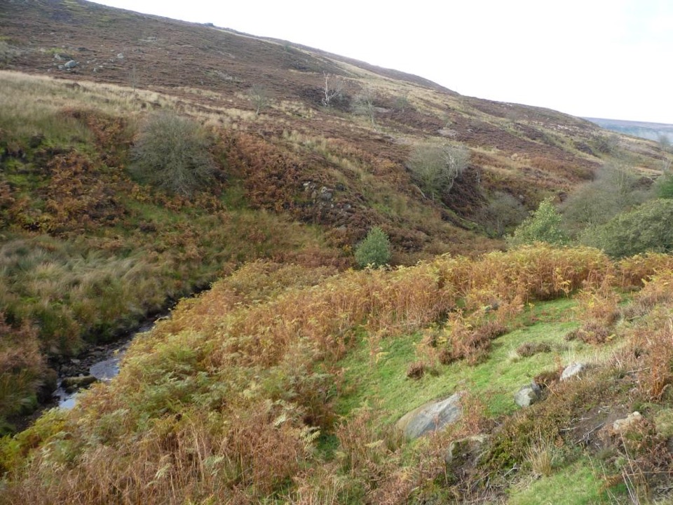 ChallengingEsk Valley Walk59.5 km · 18 hr · 3.3 km awayFollow the Esk from high heather moors down to Whitby harbour
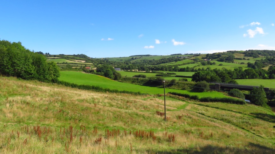 ModerateLealholm to Grosmont (Esk Valley Walk 3)9.3 km · 3 hr · 4.7 km awayRiverside miles between four Esk Valley villages, station to station
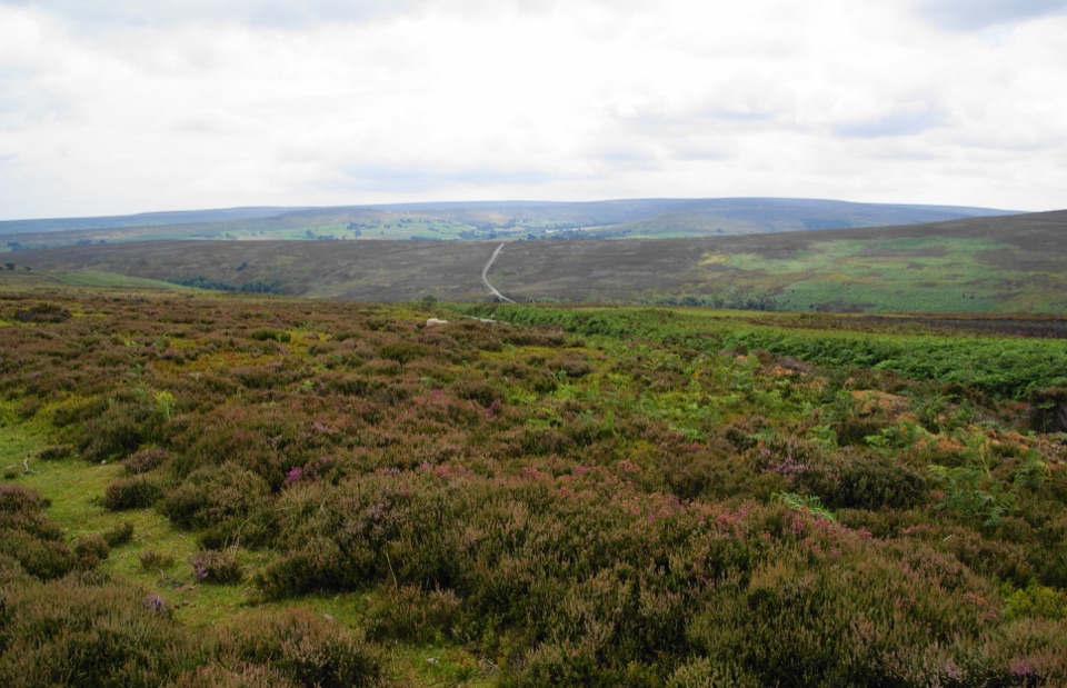 ModerateKildale Moor Walk14 km · 4.3 hr · 6.1 km awayRough, boggy moorland loop with big views and almost no waymarkers
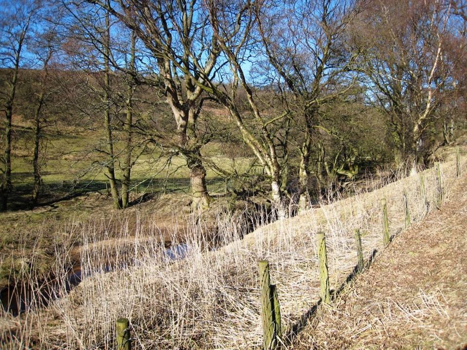 ModerateBaysdale Circular15.3 km · 5.5 hr · 6.5 km awayRemote moorland circuit above Baysdale Beck, past a private abbey site
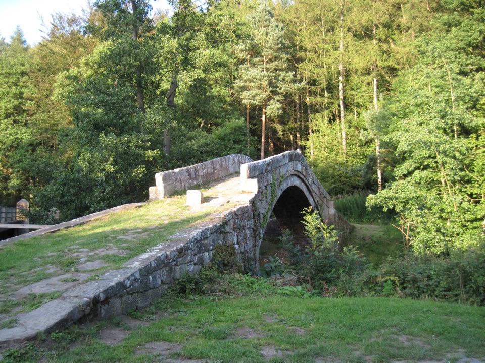 ModerateGlaisdale and Egton Bridge8 km · 3.5 hr · 7.2 km awayAncient stone trods, a 1619 bridge, and high Esk Valley views
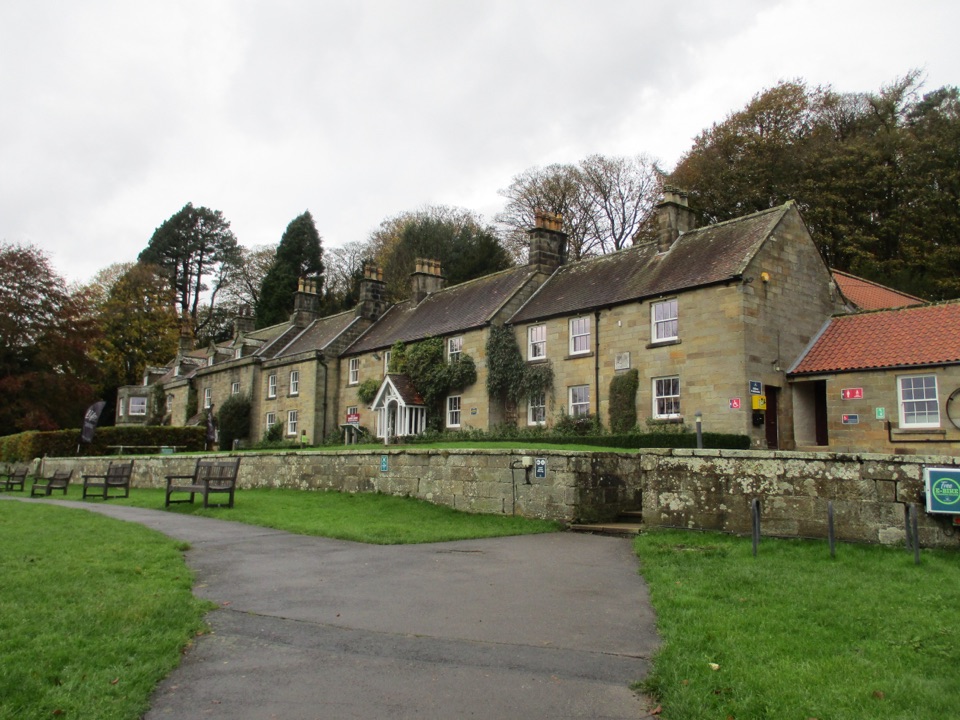 Visitor center · 0.1 km awayDanby Lodge National Park CentreDanby Lodge: riverside grounds, adventure play and ironstone heritage
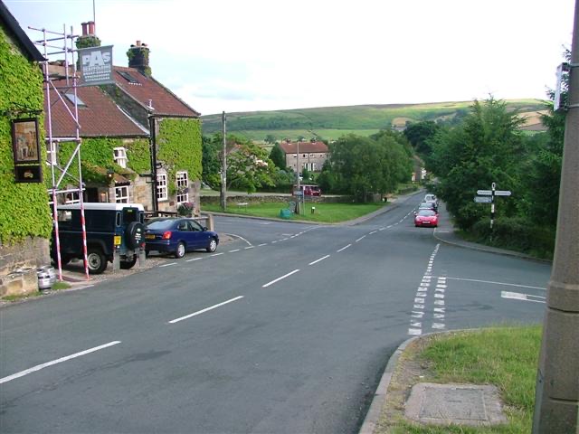 Sight · 1 km awayDanbyStone estate cottages where the Esk Valley meets open moorland
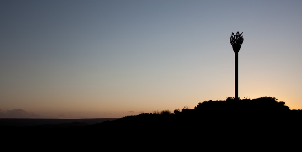 Sight · 2.1 km awayDanby BeaconFlame-shaped steel beacon on high moor, with sweeping coastal views
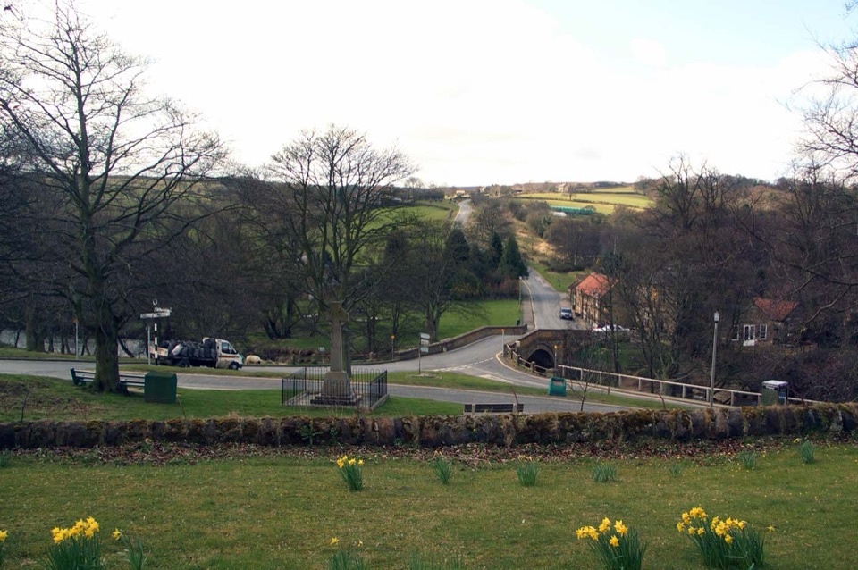 Sight · 4.6 km awayLealholmStepping stones, a 17th-century bridge and a green by the Esk
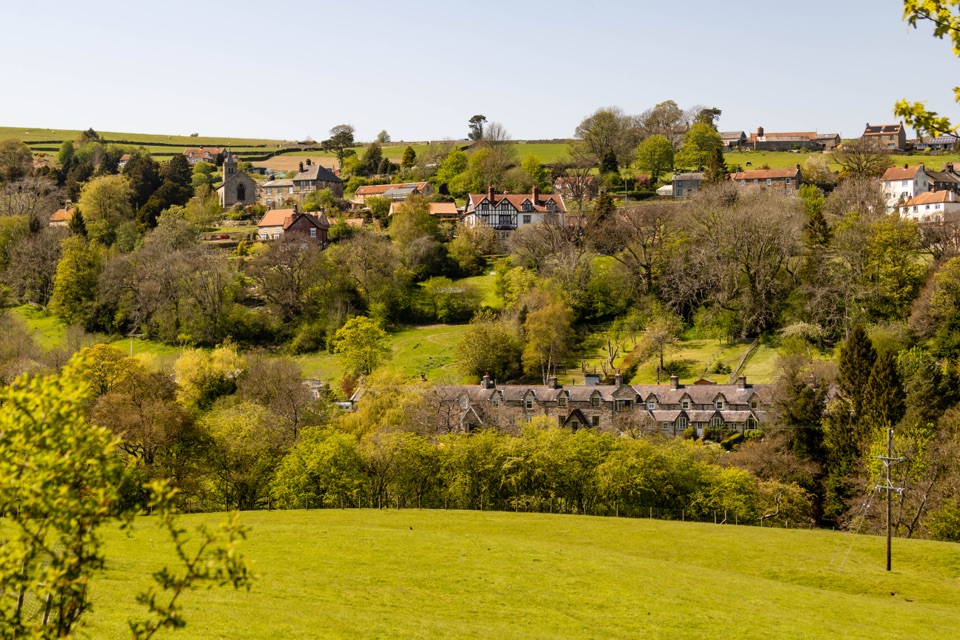 Sight · 6.3 km awayGlaisdaleStone cottages on a steep Esk Valley hillside, walks below
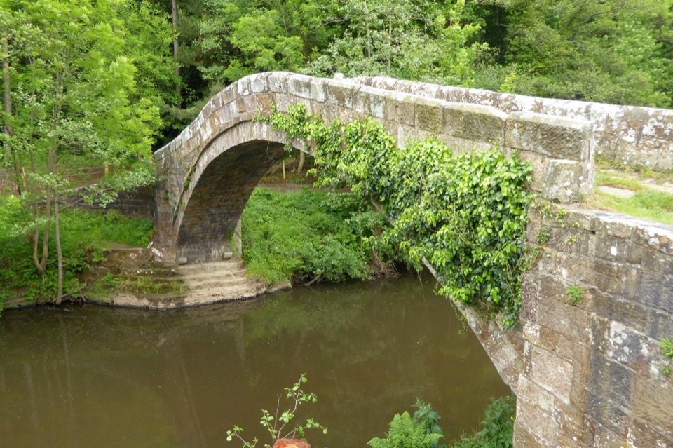 Sight · 7.3 km awayBeggar's BridgeHigh-arched 1619 packhorse bridge with a lovers' legend beside the Esk
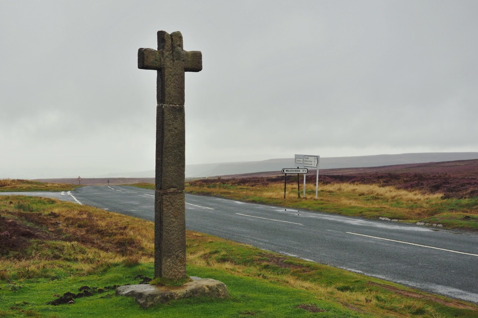 Sight · 7.4 km awayYoung Ralph CrossThe park's emblem in stone, alone on high open moorland
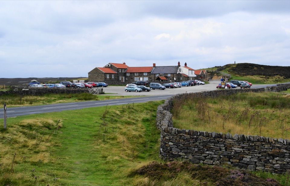 Restaurant · 9.4 km awayThe Lion Inn, Blakey RidgeOpen fires and vast moorland views at a 16th-century ridge-top freehouse
Parkwolf’s North York Moors ranking
The audio tour guide for the drive, plus offline maps, trails, and wildlife heatmaps for when the signal drops.





