Parking
Start at Grosmont station and its station access road/car park. This is a one-way walk, so plan to return by train, lift or taxi from Whitby.
North York Moors National Park, EN
Valley bridleways and villages from steam railway to Whitby pier
Overview
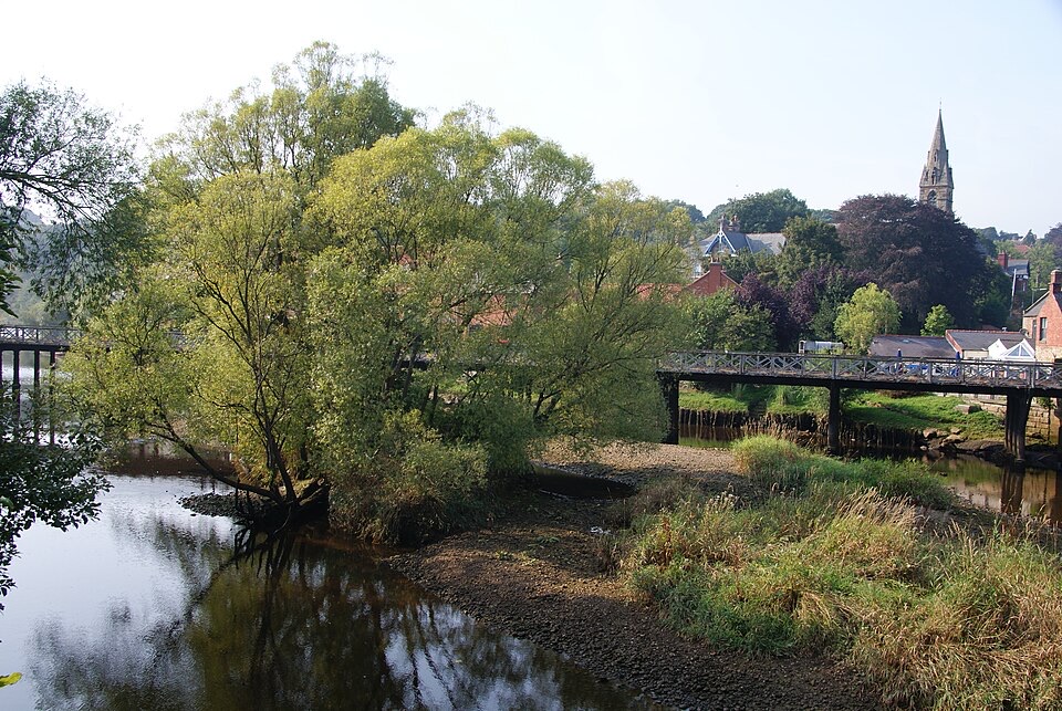
This is a valley-to-coast journey rather than a single viewpoint. The character changes steadily, from railway heritage and quiet wooded and field walking around Grosmont, through the River Esk corridor and the villages of Sleights and Ruswarp, to a working harbour and the sea at the end. The human landscape of farms, bridges, level crossings and riverside settlements is a large part of the interest.
 Parkwolf’s verdictThe payoff
Map & elevation
Plan your hike

The highest, rockiest slopes around here are a summer buffet for grizzly bears.
North York Moors Tour Guide
Parkwolf is a GPS audio tour guide for North York Moors National Park. As you drive, it chimes in with what’s ahead: hidden gems, upcoming stops, history, geology, and wildlife, right through your car’s speakers.
Recorded for this trailhead
Grosmont Station“You're approaching Grosmont Station, the working heart of the heritage railway. Even if you're not riding, the 1952-themed platforms give you a place to watch trains when they're running.”
Plays as you drive up to this trailhead in the Parkwolf North York Moors Tour Guide.
More stories near here in the app
“Fantastic app with many points of information… It’s great to just turn on while you’re driving and it gives you an audio tour of the national Park. We love it!!!!”


Trail guide
A point-to-point linear walk of 8 miles (12.9 km) one way, running from Grosmont station to the pier at Whitby. It is the fourth and final stage of the 37 mile Esk Valley Walk, not the whole route, and the mileage above is one way rather than a loop or a there-and-back. Typical walking time is around 3 hours 20 minutes, with about 627 feet of ascent and a height range of roughly sea level to 94 metres.
The official route description also notes a riverside permitted footpath option out of Ruswarp. That is a separate variant and not the line described here.
Graded difficult, mainly because of the length. In practice much of it is fairly level bridleway and field walking, so stamina matters more than technique. Expect:
Boots with grip and tolerance for wet feet are sensible.
There are level crossings on the working railway, including two close together near Ruswarp, so cross promptly and keep children and dogs close. There is road traffic to deal with at Sleights, Ruswarp and in Whitby, and the route passes through farmyards with livestock. Near the finish you share space with cyclists on the Cinder Track and with pedestrians around the harbour.
Because the walk is one way, plan the return before you start. The usual approach is to travel from Whitby to Grosmont by train and then walk back, which leaves you finishing where the cafes, pubs and restaurants are. Access at the start is at Grosmont station and its access road and car park. If you drive, arrange a lift, taxi or train back rather than assuming a shuttle. Villages on the way offer refreshments, though it is worth carrying water and food rather than relying on anything being open.
Dogs are welcome. Keep them on a short lead near livestock and under close control at railway crossings, on roads, and where cyclists and horse riders share the path.
Wildlife
 15 sightingsEurasian OtterMost seen around 7 PMSighting map
 10 sightingsRed DeerMost seen around 7 AMSighting map
 79 sightingsGrey SealMost seen around noonSighting map
 26 sightingsWestern Barn OwlMost seen around 7 PMSighting map
 33 sightingsEuropean BadgerMost seen around 7 PMSighting map
 10 sightingsMute SwanMost seen around noonSighting map
Sighting maps show where each species has been reported across North York Moors. Wildlife moves, so no sighting is guaranteed.
Keep exploring
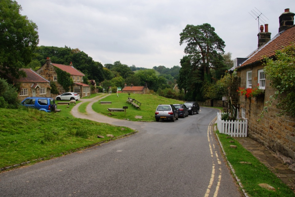 ModerateGrosmont to Beck Hole7.6 km · 2.3 hr · 0.4 km awayBluebell woods, riverside valley, then an old railway line home
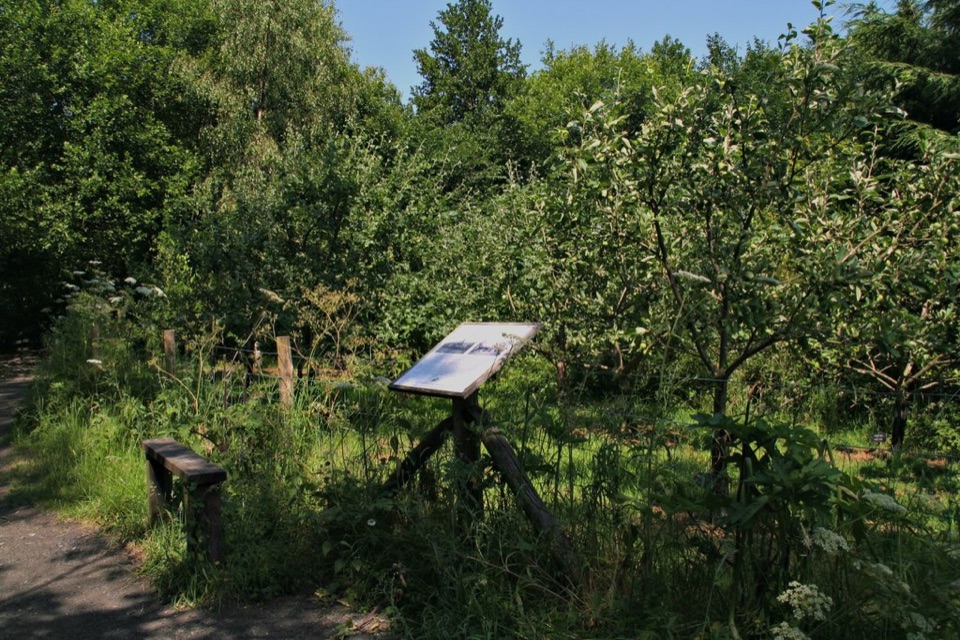 EasyMiles without Stiles (For all) - Esk Valley to Beck Hole4.8 km · 1.2 hr · 1.3 km awayLevel old railway beside the Murk Esk, three bridges to Beck Hole
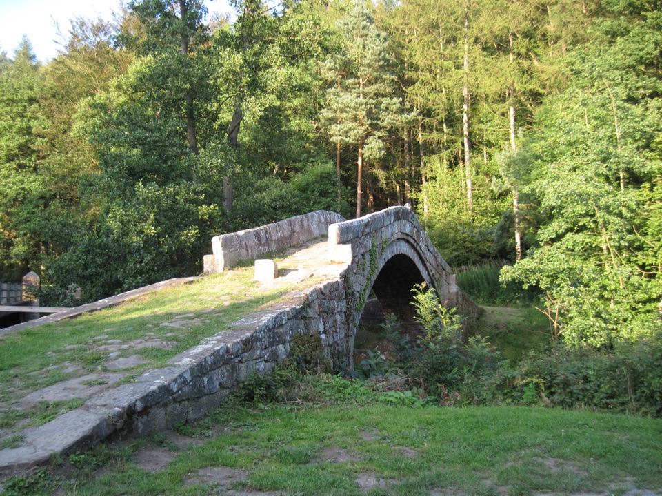 ModerateGlaisdale and Egton Bridge8 km · 3.5 hr · 4 km awayAncient stone trods, a 1619 bridge, and high Esk Valley views
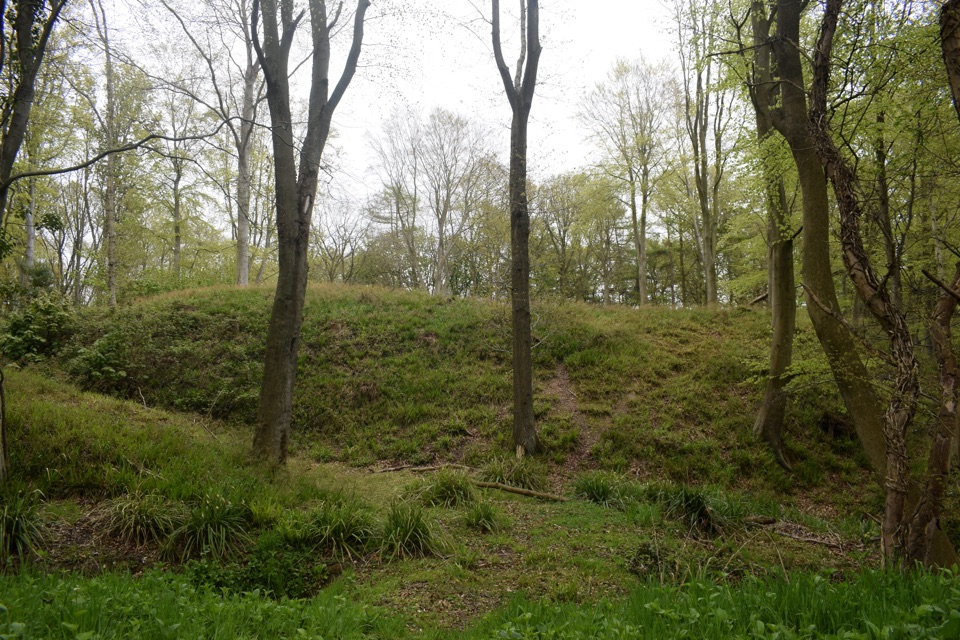 ModerateFoss Mill Crossing8 km · 2.8 hr · 4.3 km awayField paths and beck bridges to Foss Mill's ruins and Foss Castle
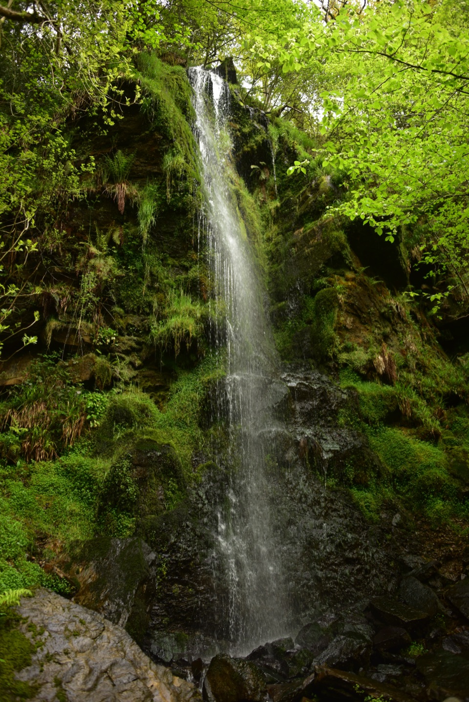 EasyMallyan Spout and Beck Hole4.3 km · 1.5 hr · 4.3 km awayA 70-foot ravine waterfall, then a wooded beck and old railway inclineModerateGoathland, Mallyan Spout and the Roman Road13.2 km · 4.3 hr · 4.4 km awayWaterfall ravine, open heather moor and an ancient moorland causeway
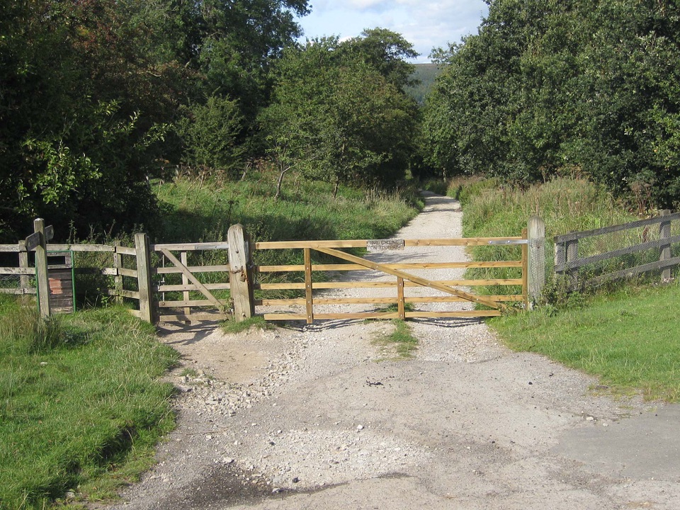 ModerateGoathland & Grosmont Circular12.4 km · 4.3 hr · 4.4 km awayWooded old railway down to Grosmont, then open moorland climb home
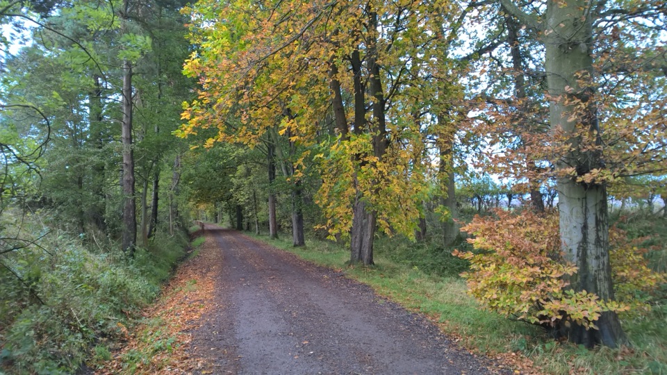 EasyGoathland Centenary Walk3.2 km · 1.3 hr · 4.4 km awayGentle two-mile village loop remembering 12 men lost in the Great War
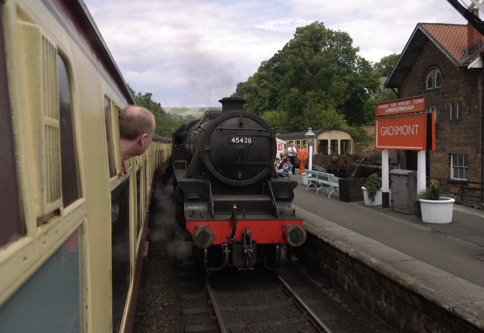 Sight · 0.5 km awayGrosmont StationEngine sheds, an 1835 tunnel and steam locomotives at work
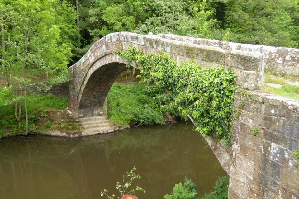 Sight · 3.9 km awayBeggar's BridgeHigh-arched 1619 packhorse bridge with a lovers' legend beside the Esk
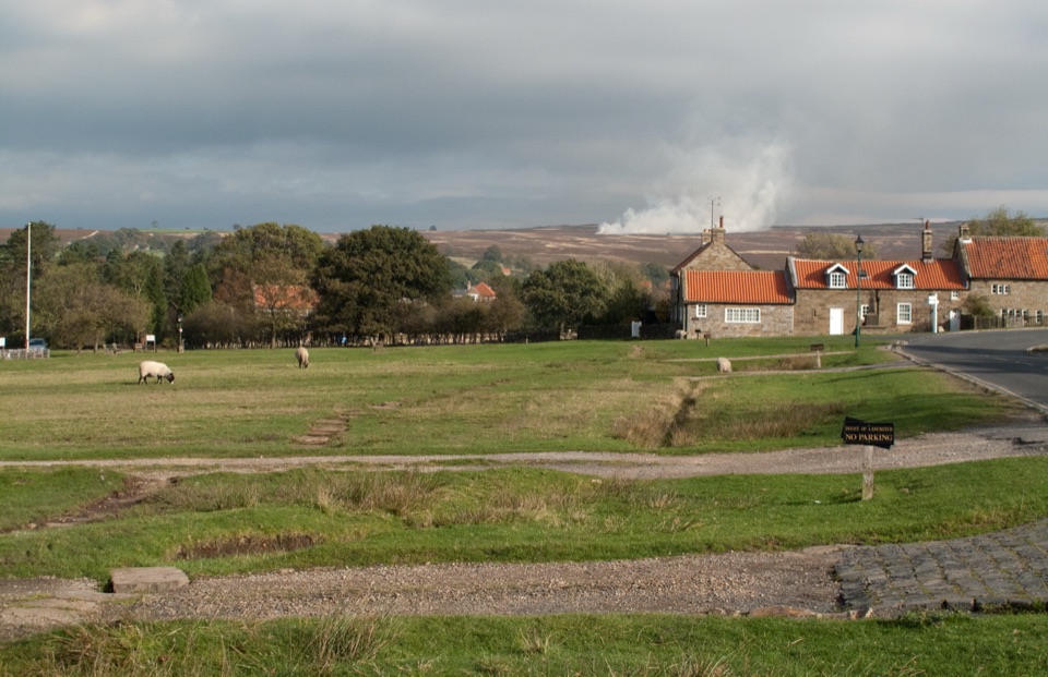 Sight · 4.4 km awayGoathlandSheep-grazed moorland village with a 70-foot waterfall below it
 Sight · 4.4 km awayGoathland StationGoathland Station: steam-age platform, Hogsmeade and Aidensfield on screen
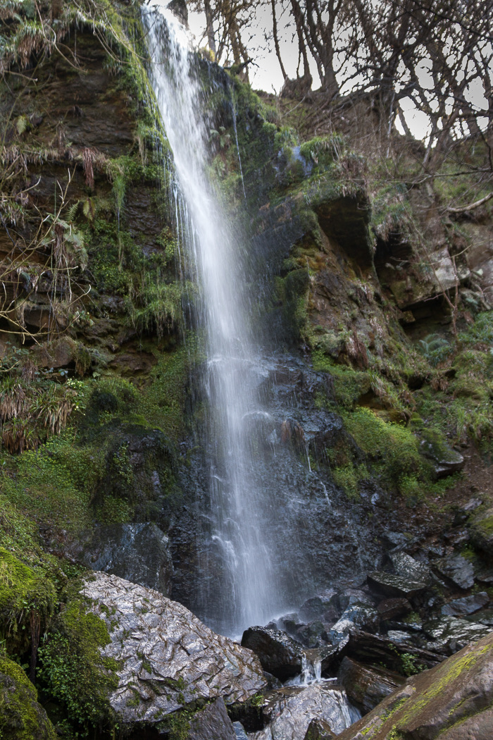 Sight · 4.6 km awayMallyan Spout WaterfallSeventy feet of water down a wooded sandstone ravine near Goathland
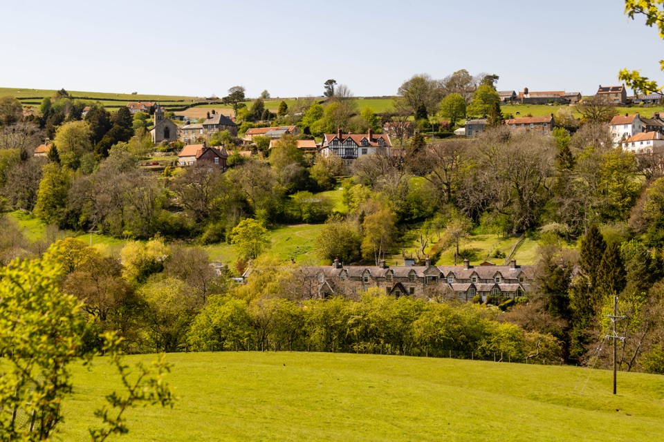 Sight · 4.9 km awayGlaisdaleStone cottages on a steep Esk Valley hillside, walks below
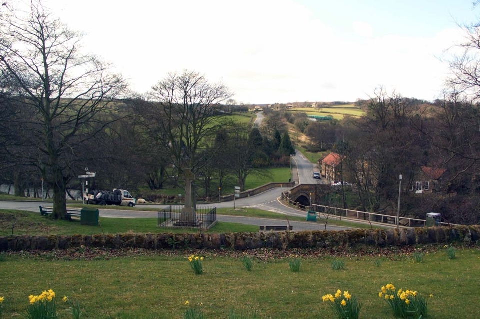 Sight · 6.4 km awayLealholmStepping stones, a 17th-century bridge and a green by the Esk
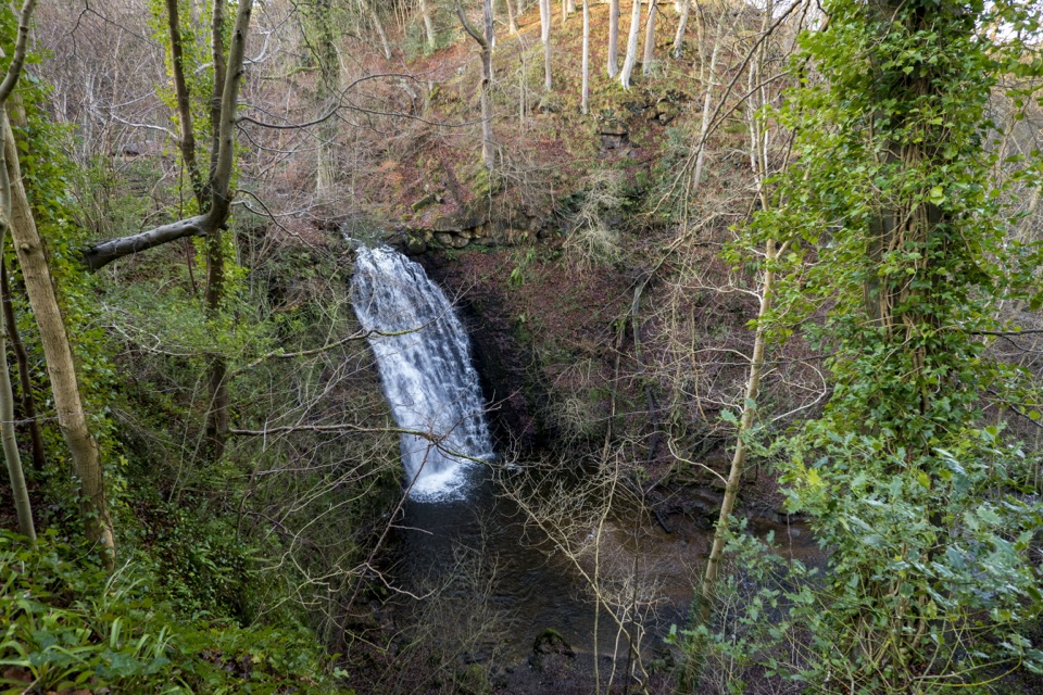 Sight · 6.8 km awayFalling Foss WaterfallA 9-metre fall of water in a steep, wooded valley near Whitby
Parkwolf’s North York Moors ranking
The audio tour guide for the drive, plus offline maps, trails, and wildlife heatmaps for when the signal drops.





