Parking
Start at Glaisdale Station, grid reference NZ 784 055, reached by the Esk Valley Railway. No dedicated station car park is listed; use rail or only clearly signed and legal local parking.
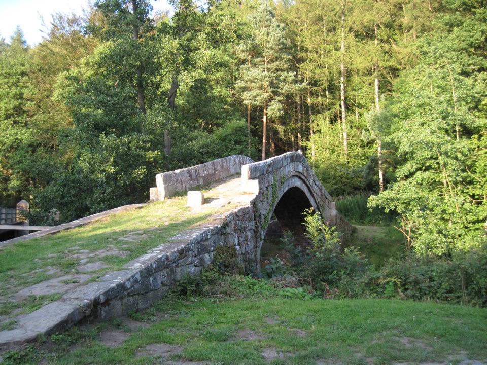
North York Moors National Park, EN
Ancient stone trods, a 1619 bridge, and high Esk Valley views
Overview
Map & elevation
Plan your hike

The highest, rockiest slopes around here are a summer buffet for grizzly bears.
North York Moors Tour Guide
Parkwolf is a GPS audio tour guide for North York Moors National Park. As you drive, it chimes in with what’s ahead: hidden gems, upcoming stops, history, geology, and wildlife, right through your car’s speakers.
Recorded for this trailhead
Beggar's Bridge at Glaisdale“You're approaching Beggar's Bridge at Glaisdale, a narrow sandstone arch tucked between the road and railway bridges. A date stone shows sixteen nineteen.”
Plays as you drive up to this trailhead in the Parkwolf North York Moors Tour Guide.
More stories near here in the app
“Fantastic app with many points of information… It’s great to just turn on while you’re driving and it gives you an audio tour of the national Park. We love it!!!!”


Trail guide
This is a circular 5 miles (8 km) starting and finishing at Glaisdale Station (grid reference NZ 784 055), and the official timing is about 3 hours 30 minutes. Distances here are for the full loop, so you end where you started with no retracing and no shuttle to sort out.
You drop down beneath the railway almost immediately and cross the River Esk at Beggar's Bridge, whose inscription points to 1619. From there it is riverside road, then a proper climb through Church Dale Farm and woodland onto open farmland, across fields and a stone bridge, past Egton Mortuary Chapel. The descent to Egton Station is on old stone-paved trods, then you cross the railway and the Esk at Egton Bridge, pass the Horseshoe Hotel and return by minor road, bridleway and the woodland track through East Arncliff Wood. The payoff is the contrast: two historic river crossings at the bottom, wide high farmland views in the middle.
Rated moderate, and it earns that. Reckon on roughly 292 m of ascent and 205 m of descent, with a high point near 173 m and a low point near 43 m, so it is a valley-to-tops-to-valley profile. There is a steep climb out of the valley in the early middle section and another steep pull later in the loop. Surfaces are field paths and woodland tracks, plus stone trods that get slippery, so boots with grip beat trainers. Expect several stiles and about 1 and three quarter miles (2.8 km) on minor roads, so stay alert for traffic on those stretches.
Esk Valley countryside throughout, with woodland that gives a strong bluebell show in late spring. The Esk itself supports salmon and sea trout. The two obvious photographs are Beggar's Bridge and the river at Egton Bridge, both easy to reach from the path without scrambling about.
Dogs are welcome on almost all walks in the North York Moors National Park, but the park's guidance is to keep them on a short lead under 2 metres from 1 March to 31 July for ground-nesting birds, and near livestock at any time of year. On most moorland open-access land dogs must stay on public rights of way. You pass through farmland with animals on this loop, so short leads and control around cyclists and horse riders matter here.
Rail to Glaisdale Station is the clean option and it puts you on the route from step one. The station is unstaffed with level access from a cobbled, uneven car-park approach, but there is no station car park listed, no station toilets and no refreshments there. Refreshments are available in Glaisdale and Egton Bridge, so plan a stop in the villages rather than at the platform.
Wildlife
 15 sightingsEurasian OtterMost seen around 7 PMSighting map
 10 sightingsRed DeerMost seen around 7 AMSighting map
 79 sightingsGrey SealMost seen around noonSighting map
 26 sightingsWestern Barn OwlMost seen around 7 PMSighting map
 33 sightingsEuropean BadgerMost seen around 7 PMSighting map
 10 sightingsMute SwanMost seen around noonSighting map
Sighting maps show where each species has been reported across North York Moors. Wildlife moves, so no sighting is guaranteed.
Keep exploring
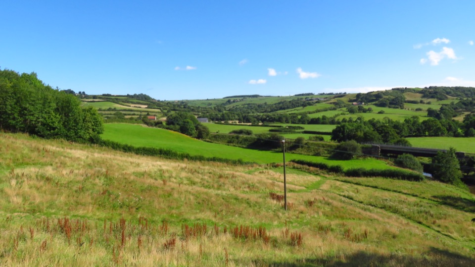 ModerateLealholm to Grosmont (Esk Valley Walk 3)9.3 km · 3 hr · 3 km awayRiverside miles between four Esk Valley villages, station to station
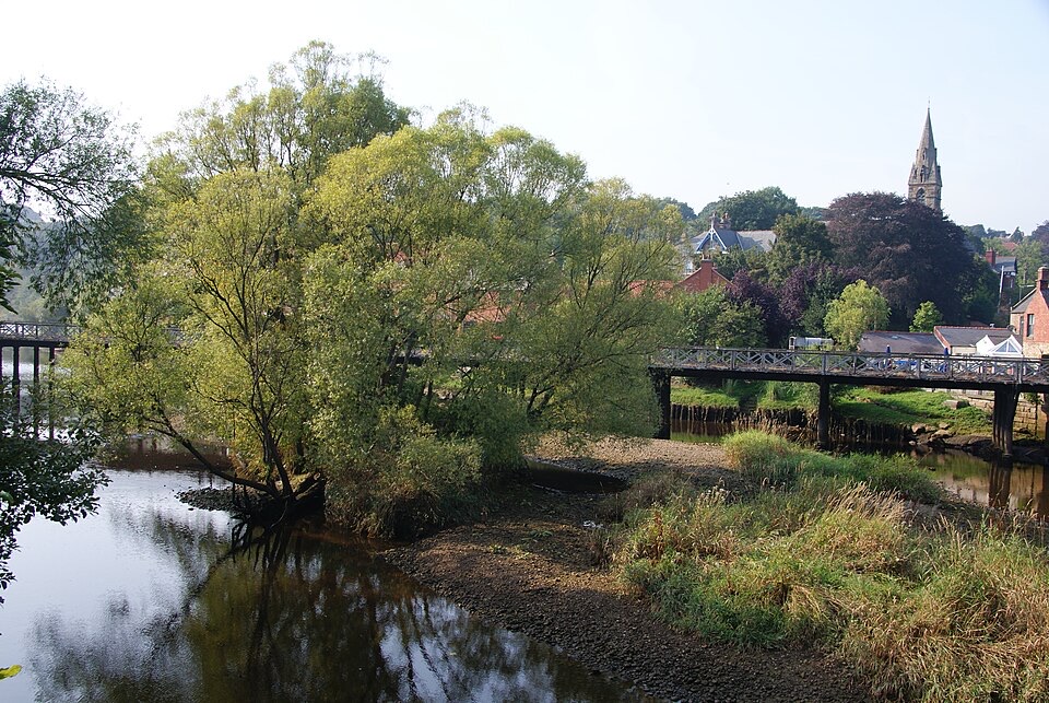 ChallengingGrosmont to Whitby (Esk Valley Walk 4)12.9 km · 3.3 hr · 4 km awayValley bridleways and villages from steam railway to Whitby pier
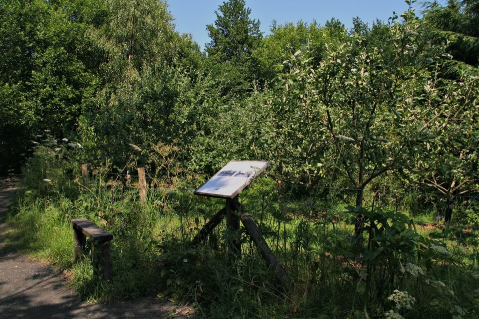 EasyMiles without Stiles (For all) - Esk Valley to Beck Hole4.8 km · 1.2 hr · 4.1 km awayLevel old railway beside the Murk Esk, three bridges to Beck Hole
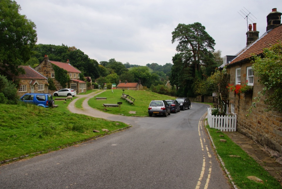 ModerateGrosmont to Beck Hole7.6 km · 2.3 hr · 4.3 km awayBluebell woods, riverside valley, then an old railway line home
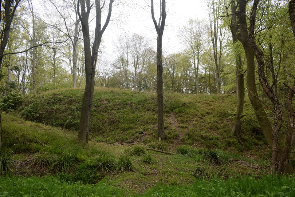 ModerateFoss Mill Crossing8 km · 2.8 hr · 6.3 km awayField paths and beck bridges to Foss Mill's ruins and Foss Castle
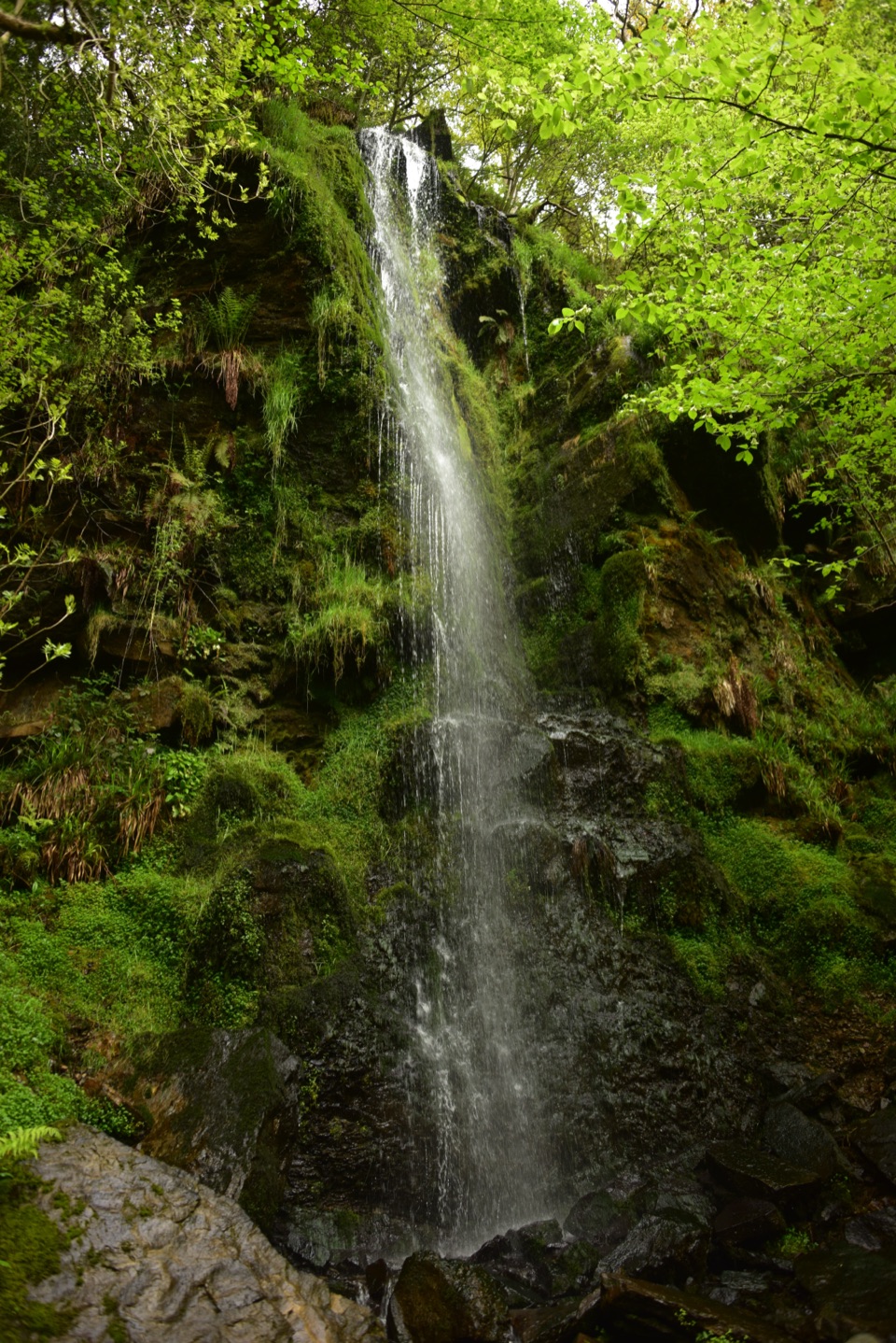 EasyMallyan Spout and Beck Hole4.3 km · 1.5 hr · 6.5 km awayA 70-foot ravine waterfall, then a wooded beck and old railway inclineModerateGoathland, Mallyan Spout and the Roman Road13.2 km · 4.3 hr · 6.6 km awayWaterfall ravine, open heather moor and an ancient moorland causeway
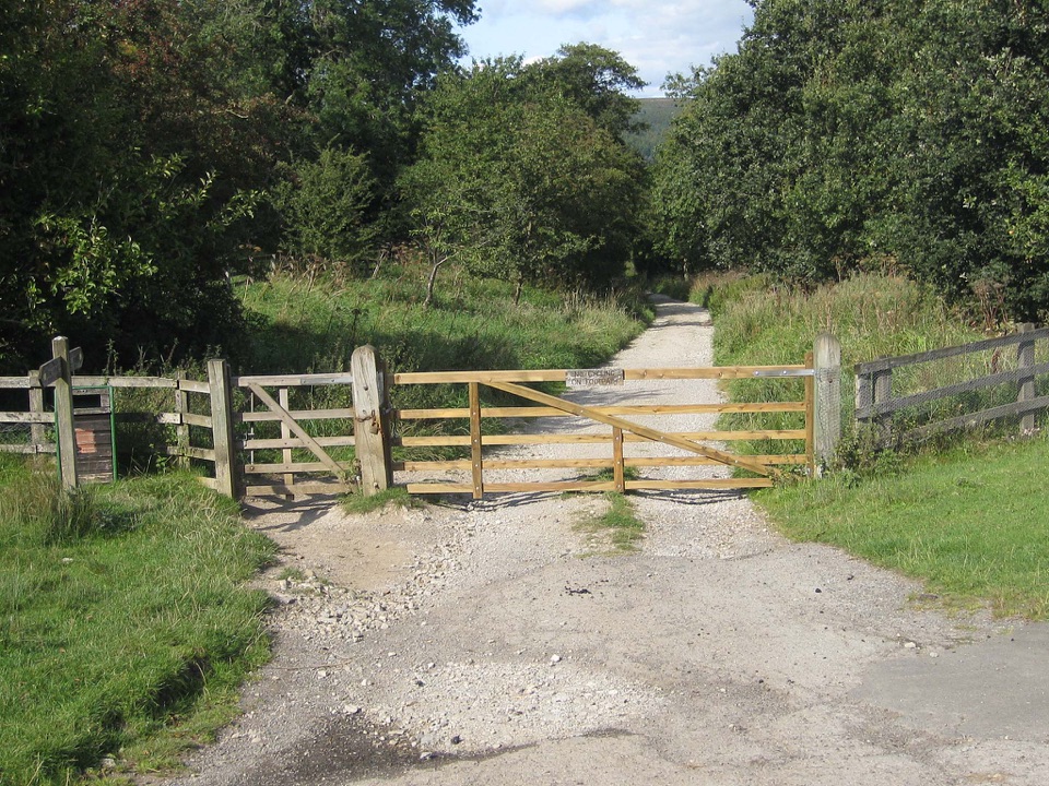 ModerateGoathland & Grosmont Circular12.4 km · 4.3 hr · 6.6 km awayWooded old railway down to Grosmont, then open moorland climb home
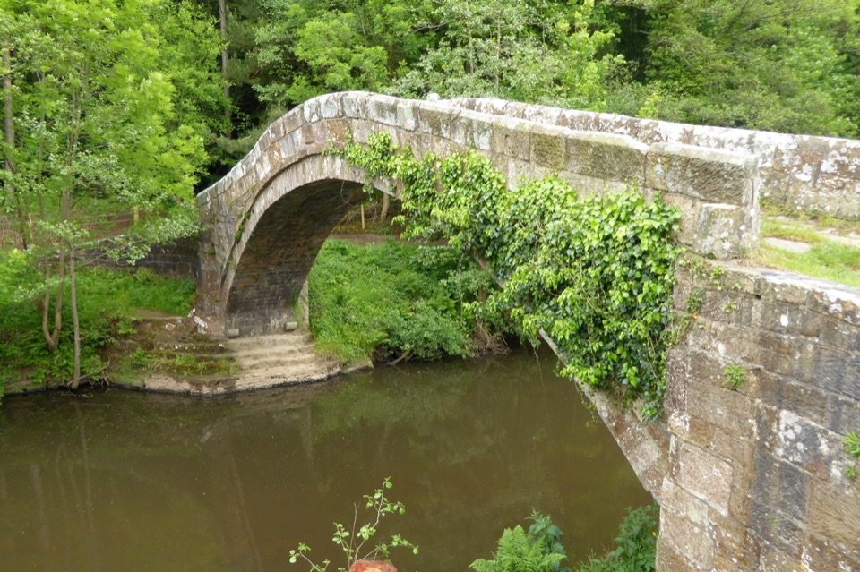 Sight · 0.1 km awayBeggar's BridgeHigh-arched 1619 packhorse bridge with a lovers' legend beside the Esk
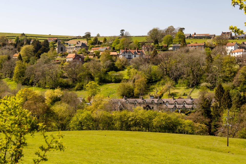 Sight · 0.9 km awayGlaisdaleStone cottages on a steep Esk Valley hillside, walks below
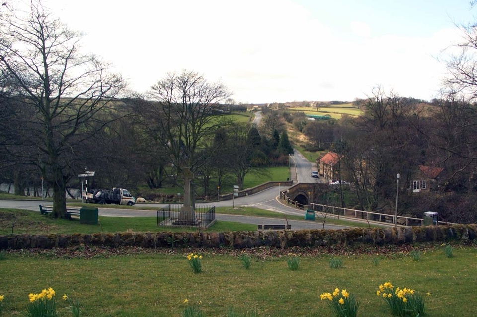 Sight · 2.9 km awayLealholmStepping stones, a 17th-century bridge and a green by the Esk
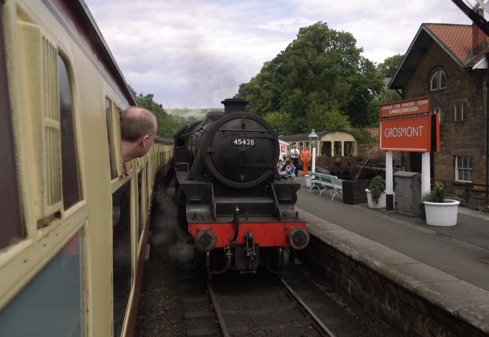 Sight · 4.5 km awayGrosmont StationEngine sheds, an 1835 tunnel and steam locomotives at work
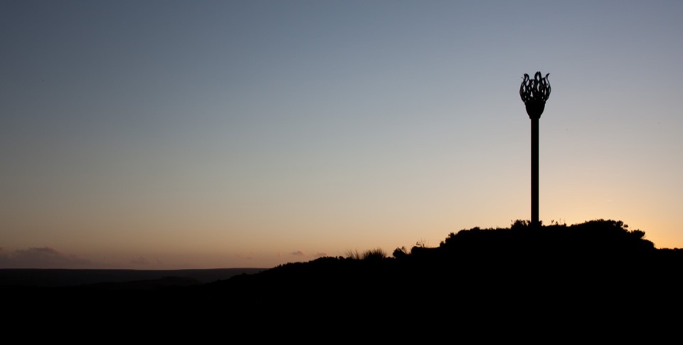 Sight · 6 km awayDanby BeaconFlame-shaped steel beacon on high moor, with sweeping coastal views
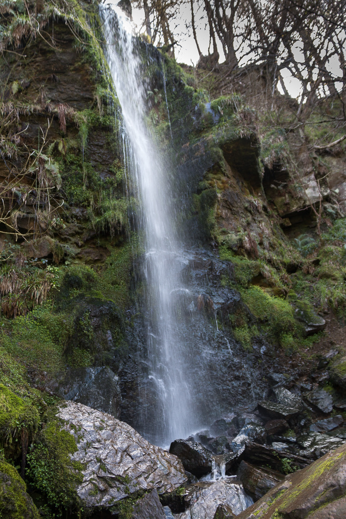 Sight · 6.1 km awayMallyan Spout WaterfallSeventy feet of water down a wooded sandstone ravine near Goathland
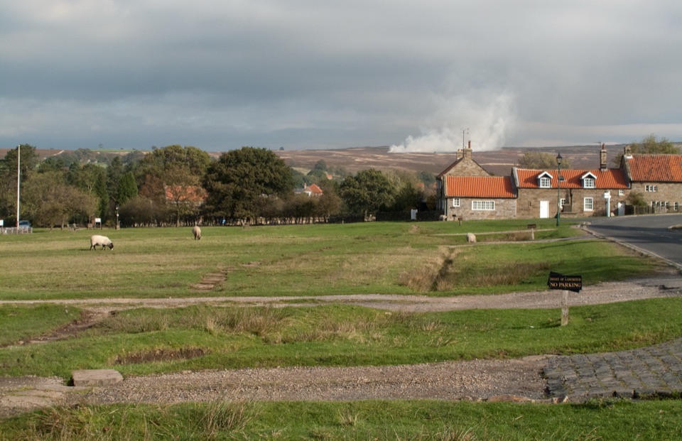 Sight · 6.5 km awayGoathlandSheep-grazed moorland village with a 70-foot waterfall below it
 Sight · 6.8 km awayGoathland StationGoathland Station: steam-age platform, Hogsmeade and Aidensfield on screen
Parkwolf’s North York Moors ranking

The audio tour guide for the drive, plus offline maps, trails, and wildlife heatmaps for when the signal drops.





