Parking
Use the Esk Valley Railway between Grosmont and Lealholm: travel to Lealholm Station, then walk to Grosmont Station. Lealholm village has a free car park.
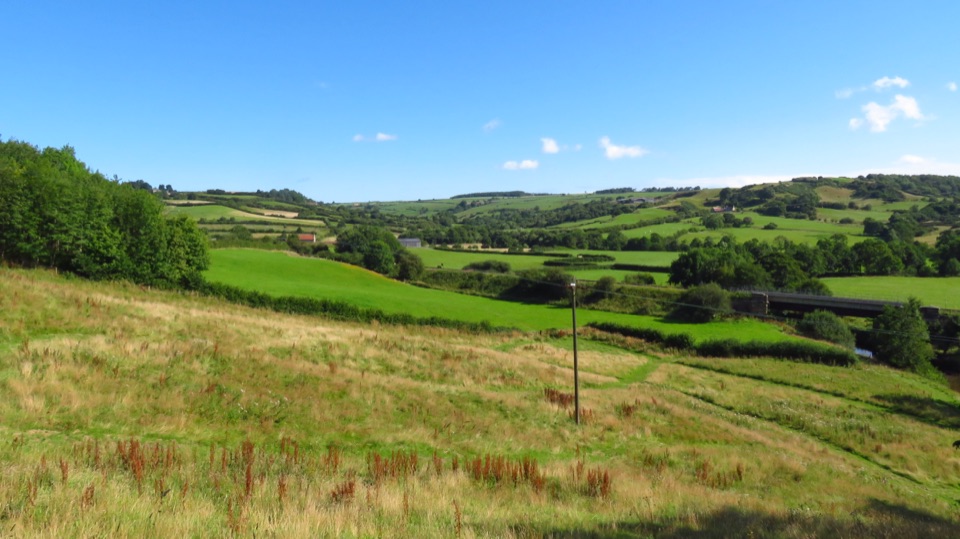
North York Moors National Park, EN
Riverside miles between four Esk Valley villages, station to station
Overview
If you want more of the same and a coastal finish, take the Grosmont to Whitby section of the same waymarked Esk Valley route, which carries you on toward the sea.
 Parkwolf’s verdictA worthwhile alternative
Map & elevation
Plan your hike

The highest, rockiest slopes around here are a summer buffet for grizzly bears.
North York Moors Tour Guide
Parkwolf is a GPS audio tour guide for North York Moors National Park. As you drive, it chimes in with what’s ahead: hidden gems, upcoming stops, history, geology, and wildlife, right through your car’s speakers.
Recorded for this trailhead
Lealholm and the River Esk“You're approaching Lealholm, a small village gathered around the River Esk's seventeenth-century bridge.”
Plays as you drive up to this trailhead in the Parkwolf North York Moors Tour Guide.
More stories near here in the app
“Fantastic app with many points of information… It’s great to just turn on while you’re driving and it gives you an audio tour of the national Park. We love it!!!!”


Trail guide
A linear, one-way walk of 5.8 miles (9.3 km) from Lealholm Station to Grosmont Station, the third section of the Esk Valley Walk. Distances here follow the one-way convention, so there is no return leg built in. Allow around three hours at a relaxed pace with stops, a little less if you keep moving.
You string together four villages along the River Esk: Lealholm, Glaisdale, Egton Bridge and Grosmont. The waymarking is a leaping salmon, and the river and railway keep drifting in and out of view beside you. The payoff is the rhythm of it, woodland and field paths between settlements where bridges and stepping stones mark historic crossing points, and where Glaisdale and Grosmont still show their Victorian ironstone and railway-age character.
Moderate overall rather than hard. Route data reports roughly 75 m of ascent and 159 m of descent, so you finish lower than you start, but the profile rolls between about 115 m and 30 m and is not flat throughout.
Boots with grip are the sensible choice.
Both ends are stations on the Esk Valley Railway, which makes this genuinely practical as a point-to-point. The standard approach is to travel by train from Grosmont to Lealholm, then walk back to Grosmont, so you end where you began the day. Lealholm village also has a free car park if you prefer to start from that end. This is not a loop, and you do not need a car to do it.
The route crosses the Esk at Egton Bridge by stepping stones. If the water is up, or you simply do not fancy them, there is an alternative road route across instead. No shame in taking it.
Dogs are welcome under the normal public-access rule. Keep them on a short lead near livestock, under close control in woodland and along the river, and on a lead on bridleways where cyclists and horse riders come past.
Dry spells suit this walk best, when the field paths firm up and the stone trod loses its slickness. Toilets and refreshments are available at the start and finish villages, with refreshments also in Glaisdale and Egton Bridge, so you can break the walk into easy village-to-village stages.
Wildlife
 15 sightingsEurasian OtterMost seen around 7 PMSighting map
 10 sightingsRed DeerMost seen around 7 AMSighting map
 79 sightingsGrey SealMost seen around noonSighting map
 26 sightingsWestern Barn OwlMost seen around 7 PMSighting map
 33 sightingsEuropean BadgerMost seen around 7 PMSighting map
 10 sightingsMute SwanMost seen around noonSighting map
Sighting maps show where each species has been reported across North York Moors. Wildlife moves, so no sighting is guaranteed.
Keep exploring
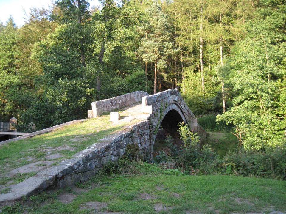 ModerateGlaisdale and Egton Bridge8 km · 3.5 hr · 3 km awayAncient stone trods, a 1619 bridge, and high Esk Valley views
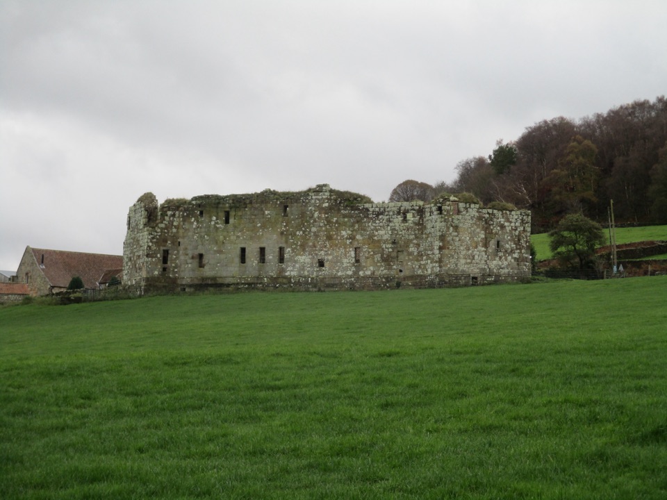 EasyDanby Castle Walk3.7 km · 1 hr · 4.7 km awayA short loop to a castle spur, returning over humpbacked Duck Bridge
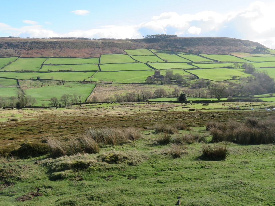 ModerateDanby, Ainthorpe and Little Fryup Dale Walk9 km · 3.3 hr · 4.7 km awayRidge views, a standing stone and a castle above Little Fryup Dale
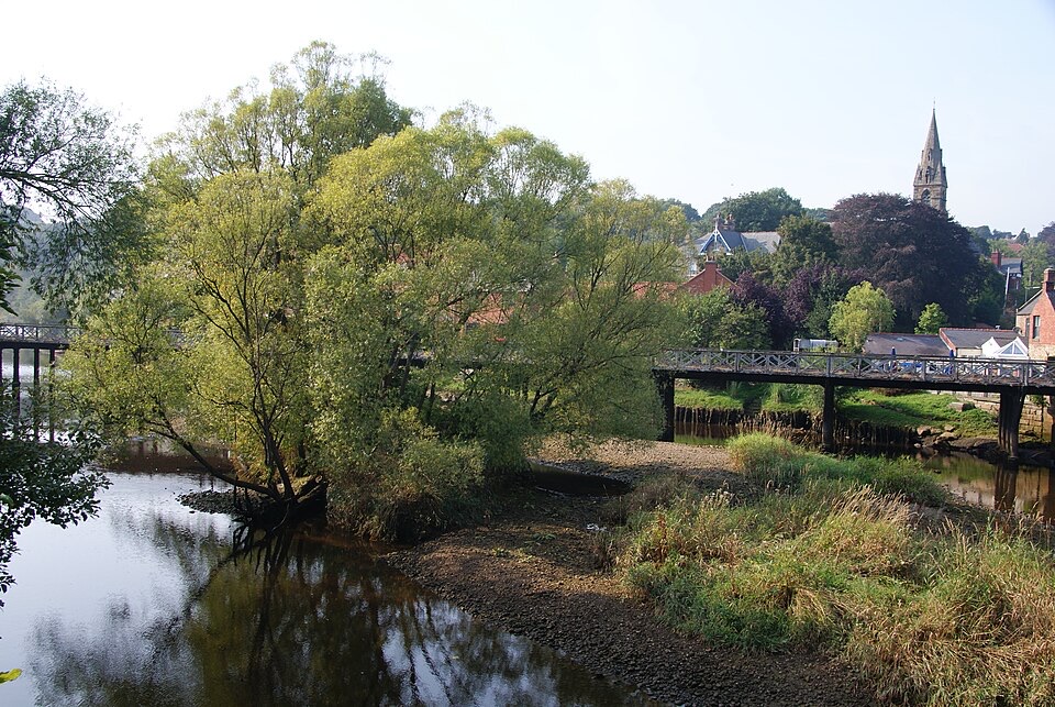 ChallengingGrosmont to Whitby (Esk Valley Walk 4)12.9 km · 3.3 hr · 6.4 km awayValley bridleways and villages from steam railway to Whitby pier
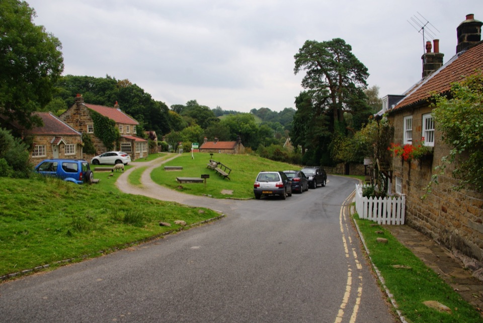 ModerateGrosmont to Beck Hole7.6 km · 2.3 hr · 6.7 km awayBluebell woods, riverside valley, then an old railway line home
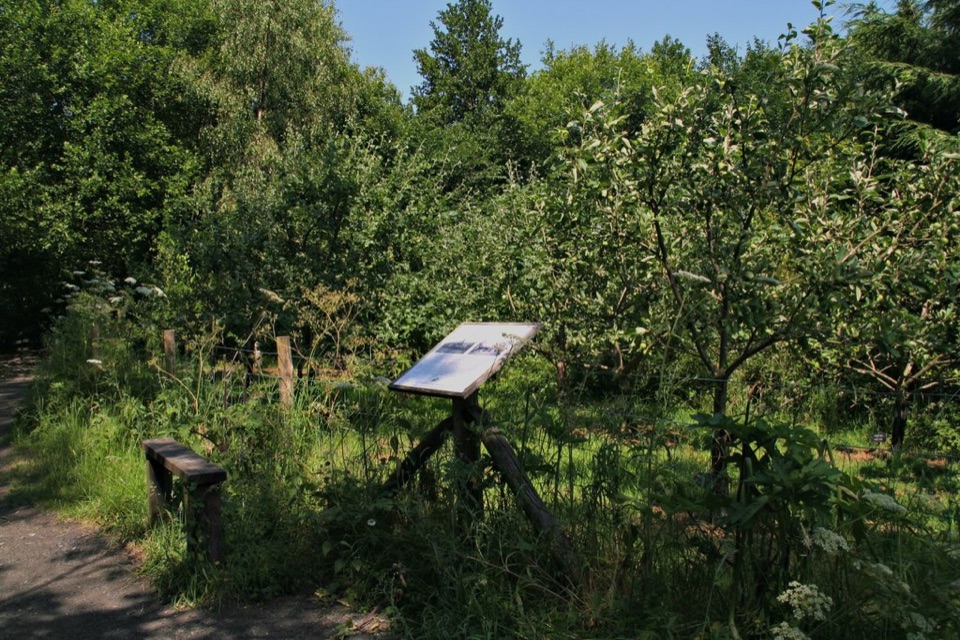 EasyMiles without Stiles (For all) - Esk Valley to Beck Hole4.8 km · 1.2 hr · 6.8 km awayLevel old railway beside the Murk Esk, three bridges to Beck Hole
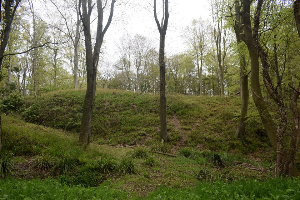 ModerateFoss Mill Crossing8 km · 2.8 hr · 6.9 km awayField paths and beck bridges to Foss Mill's ruins and Foss Castle
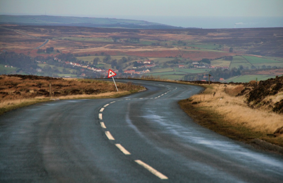 ChallengingDanby Dale, Blakey and Westerdale (Esk Valley Walk 1)24.5 km · 6.5 hr · 7.9 km awayBig moorland loop from Castleton over Blakey Ridge past Fat Betty
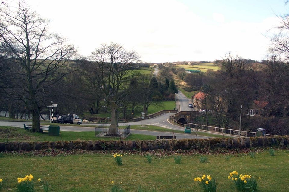 Sight · 0.2 km awayLealholmStepping stones, a 17th-century bridge and a green by the Esk
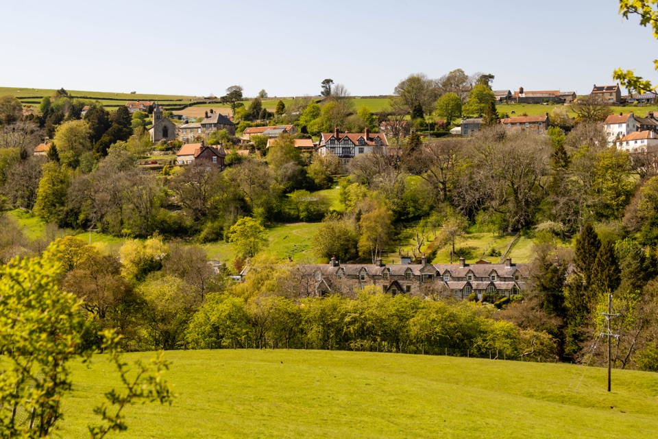 Sight · 2.3 km awayGlaisdaleStone cottages on a steep Esk Valley hillside, walks below
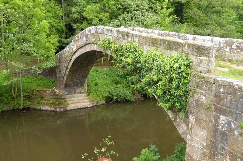 Sight · 3.1 km awayBeggar's BridgeHigh-arched 1619 packhorse bridge with a lovers' legend beside the Esk
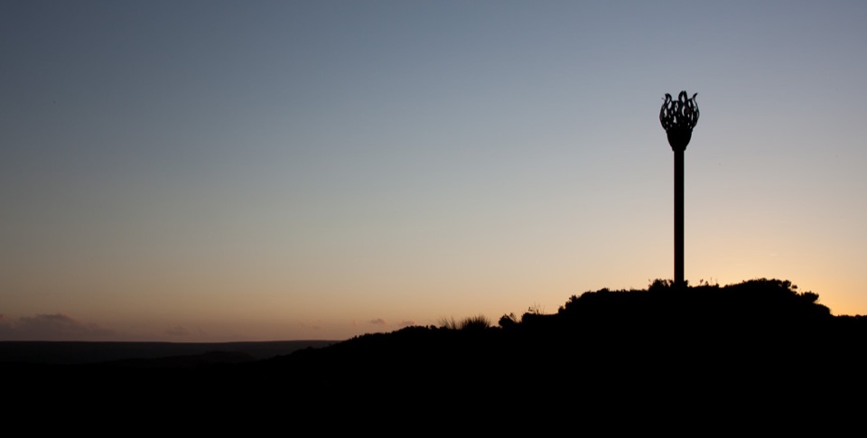 Sight · 3.1 km awayDanby BeaconFlame-shaped steel beacon on high moor, with sweeping coastal views
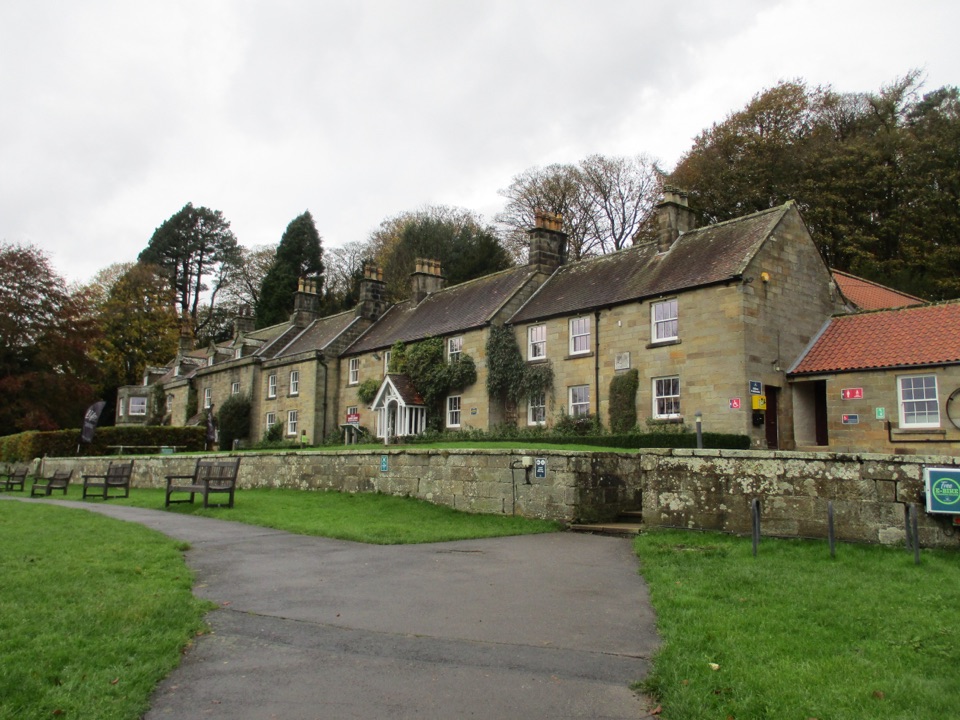 Visitor center · 4.8 km awayDanby Lodge National Park CentreDanby Lodge: riverside grounds, adventure play and ironstone heritage
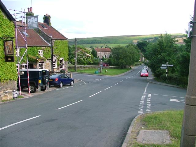 Sight · 5.6 km awayDanbyStone estate cottages where the Esk Valley meets open moorland
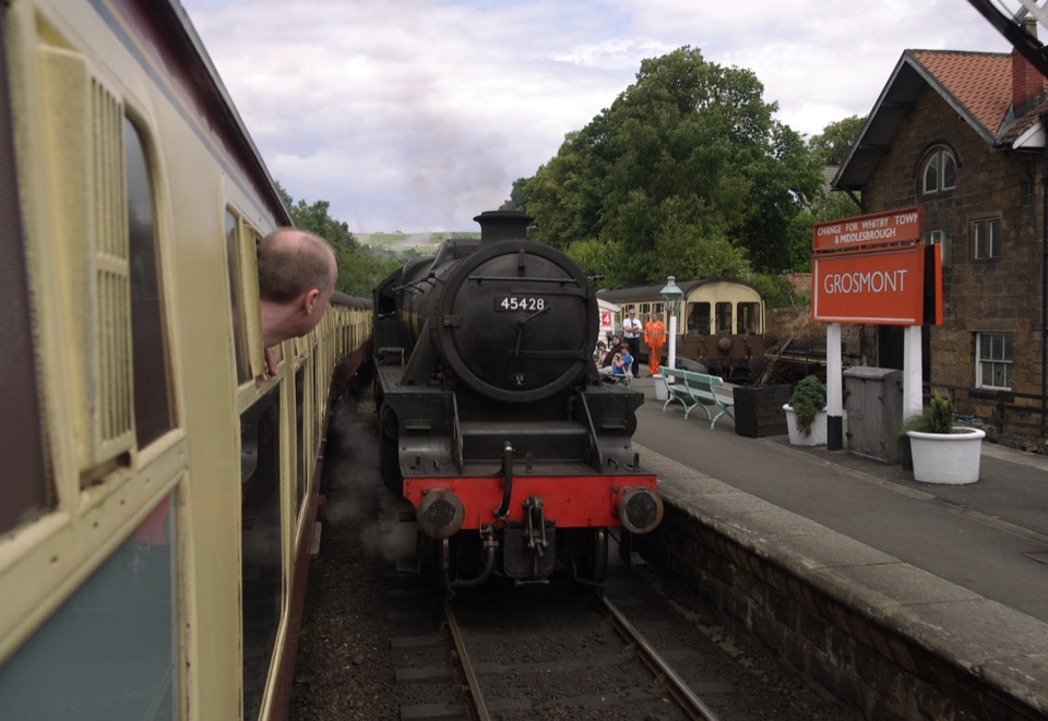 Sight · 6.9 km awayGrosmont StationEngine sheds, an 1835 tunnel and steam locomotives at work
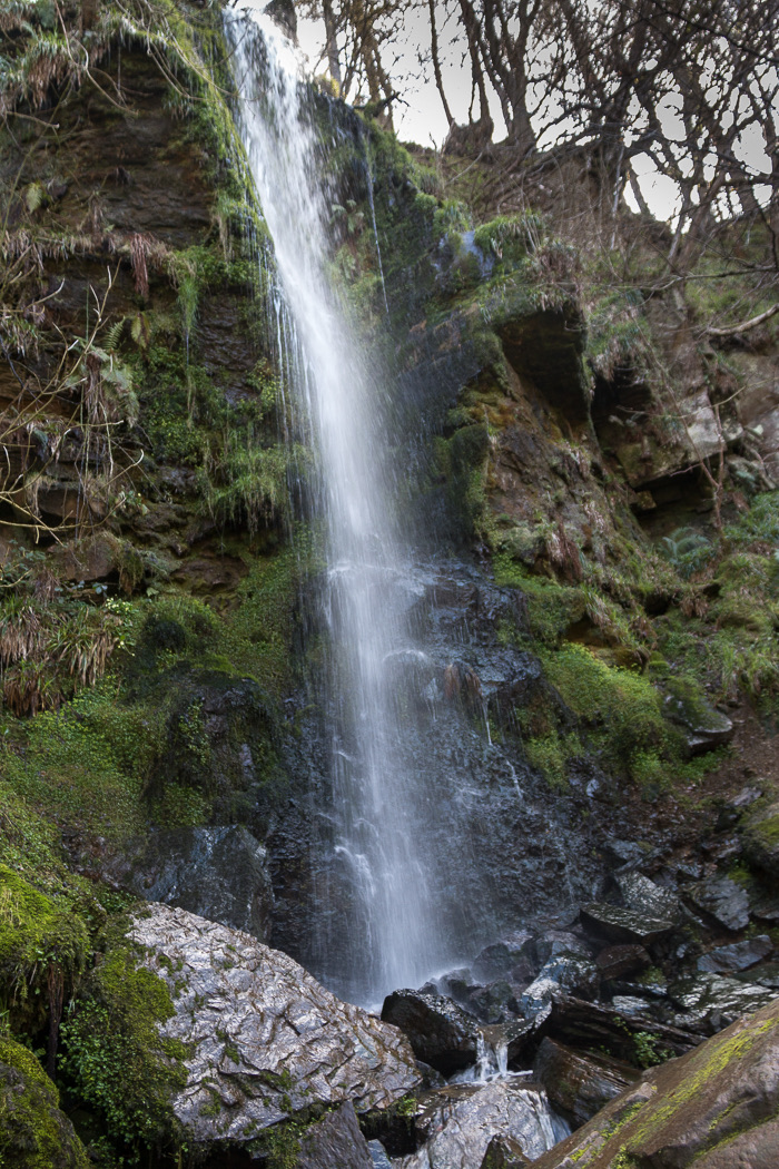 Sight · 9.1 km awayMallyan Spout WaterfallSeventy feet of water down a wooded sandstone ravine near Goathland
Parkwolf’s North York Moors ranking
The audio tour guide for the drive, plus offline maps, trails, and wildlife heatmaps for when the signal drops.





