Parking
Roadside off-road parking just south of Wheeldale Bridge, after the river ford on Wheeldale Road at SE801968. Park considerately and keep the road clear.
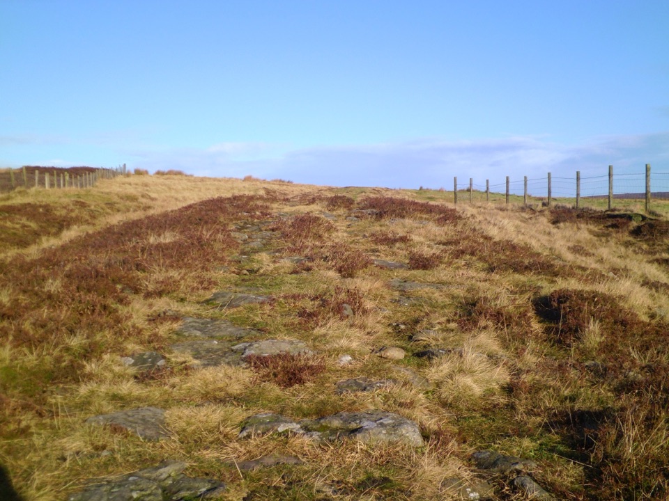
North York Moors National Park, EN
Forest tracks then four miles of open, boggy moor past boundary stones
Overview
Map & elevation
Plan your hike

The highest, rockiest slopes around here are a summer buffet for grizzly bears.
North York Moors Tour Guide
Parkwolf is a GPS audio tour guide for North York Moors National Park. As you drive, it chimes in with what’s ahead: hidden gems, upcoming stops, history, geology, and wildlife, right through your car’s speakers.
Recorded for this area
Wheeldale Roman Road“You're approaching the walking access to Wheeldale Roman Road, a long band of stonework crossing the heather.”
Plays on the road 1 km from the trailhead in the Parkwolf North York Moors Tour Guide.
More stories near here in the app
“Fantastic app with many points of information… It’s great to just turn on while you’re driving and it gives you an audio tour of the national Park. We love it!!!!”


Trail guide
A complete circular walk of 11.3 miles (18.4 km), starting and finishing at roadside off-road parking just south of Wheeldale Bridge. Distances here follow the full loop, with 820 ft (248 m) of ascent and around 6 hours of walking at a moderate grade. Height on the route runs from about 178 m near the beck up to roughly 322 m on the high moor and back down again.
The payoff is the contrast: the early section uses forest tracks and lanes, then a long, exposed heather moorland crossing with wide views and very little sign of anyone else.
The last four miles or so cross open-access moorland on a simple walkers' path, with few rights of way and sparse waymarking. Boundary stones are the main line of reference. Expect boggy ground, degraded matting, and short wooden walkways beside boggy pools that can lead the eye the wrong way, plus rough, rocky going on the drop back to Wheeldale Road. In wet weather paths can run like streams. Carry a map and compass, know how to use them, and save this section for good visibility.
This is a remote walk, and no facilities along the way are documented in the supplied evidence. Once you leave the forest there are no easy shortcuts back, so plan for the full six hours, carry your own food and water, and dress for wind and rain on high ground.
Close to the start, on Wheeldale Moor, a roughly mile-long stretch of ancient road known as Wade's Causeway survives with its hard core and drainage ditches still visible. It is free to visit on foot during daylight hours and makes a natural add-on before or after the loop.
Parking is roadside just south of Wheeldale Bridge, beyond the river ford, so park considerately and leave the road clear. Farm livestock is likely on and around the moor. Keep dogs under close control near stock, and on moorland keep them on a lead no longer than 2 metres from 1 March to 31 July to protect ground-nesting birds. No barbecues or naked flames on the moor.
Wildlife
 15 sightingsEurasian OtterMost seen around 7 PMSighting map
 10 sightingsRed DeerMost seen around 7 AMSighting map
 79 sightingsGrey SealMost seen around noonSighting map
 26 sightingsWestern Barn OwlMost seen around 7 PMSighting map
 33 sightingsEuropean BadgerMost seen around 7 PMSighting map
 10 sightingsMute SwanMost seen around noonSighting map
Sighting maps show where each species has been reported across North York Moors. Wildlife moves, so no sighting is guaranteed.
Keep exploring
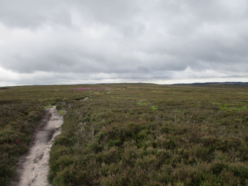 ModerateNewtondale Halt to Goathland Station Walk10.8 km · 3.5 hr · 3.9 km awayRide the rails in, walk out over heather moorland to Goathland
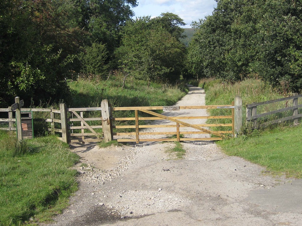 ModerateGoathland & Grosmont Circular12.4 km · 4.3 hr · 5.5 km awayWooded old railway down to Grosmont, then open moorland climb home
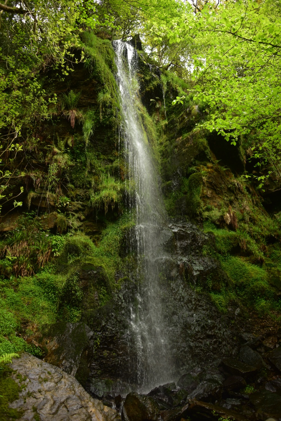 ModerateGoathland, Mallyan Spout and the Roman Road13.2 km · 4.3 hr · 5.5 km awayWaterfall ravine, open heather moor and an ancient moorland causewayEasyMallyan Spout and Beck Hole4.3 km · 1.5 hr · 5.6 km awayA 70-foot ravine waterfall, then a wooded beck and old railway incline
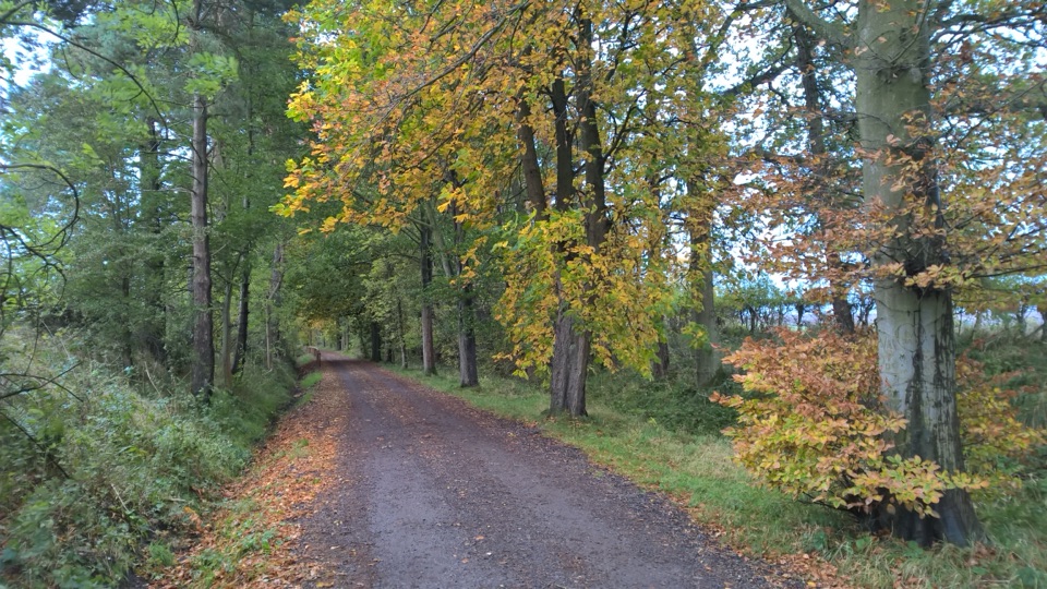 EasyGoathland Centenary Walk3.2 km · 1.3 hr · 5.6 km awayGentle two-mile village loop remembering 12 men lost in the Great War
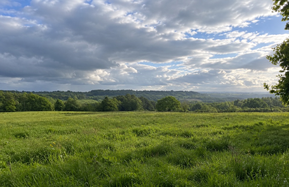 EasyParadise Walk at Cropton Forest2.4 km · 54 min · 5.7 km awaySteady climb to Vale of Pickering views, then an easy return
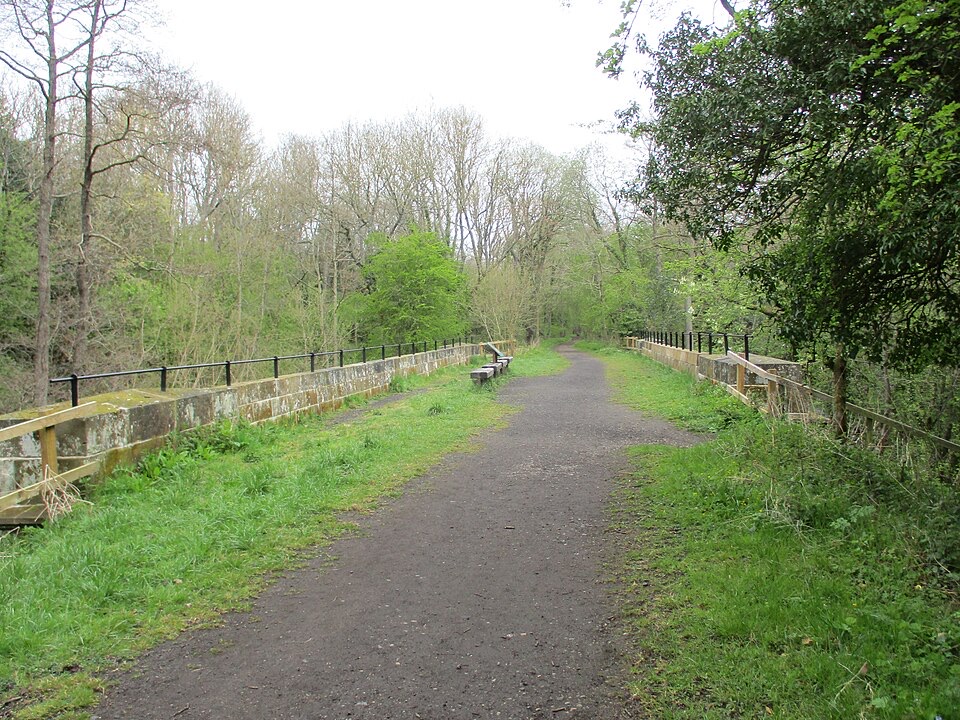 EasyGoathland to Grosmont Rail Trail5.6 km · 1.8 hr · 5.8 km awayGentle downhill walk along an 1836 railway line to Grosmont
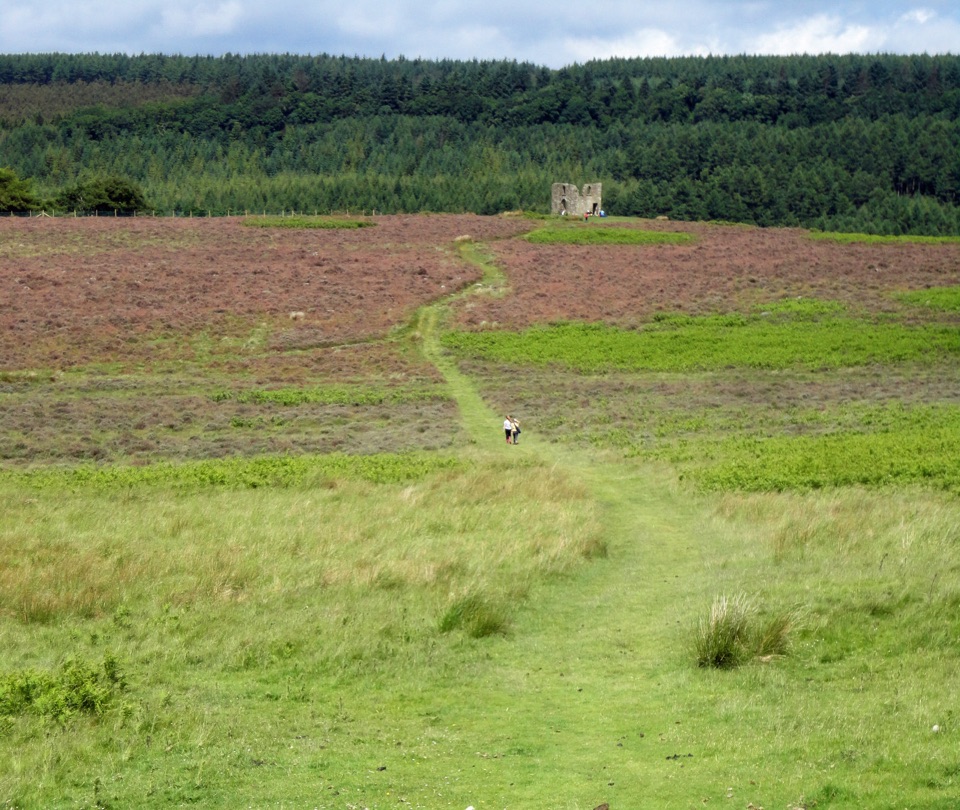 ModerateHole of Horcum Car Park to Skelton Tower11.6 km · 3.3 hr · 6 km awayMoorland amphitheatre walk to a ruined tower above NewtondaleSight · 1.1 km awayWheeldale Roman RoadAncient stone causeway over heather moor, its builders still debated
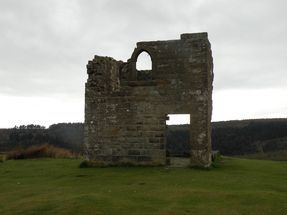 Sight · 4.4 km awaySkelton TowerRuined 1830s shooting lodge perched high above Newtondale's steam railway
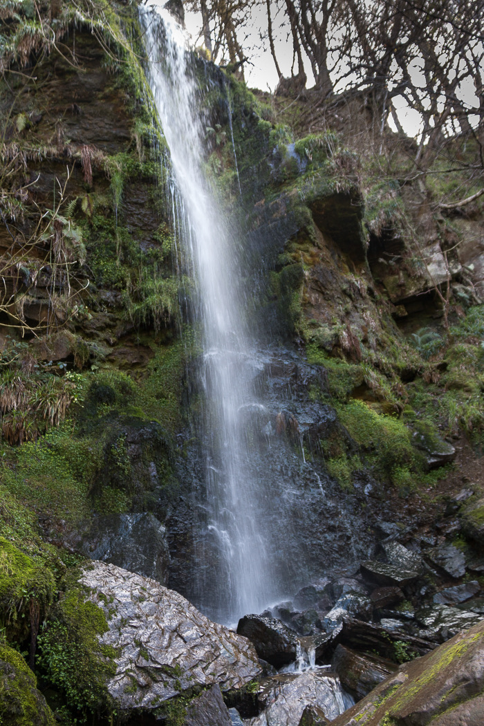 Sight · 4.8 km awayMallyan Spout WaterfallSeventy feet of water down a wooded sandstone ravine near Goathland
 Sight · 5.4 km awayHole of HorcumA 400-foot heather amphitheatre with a short accessible view platform
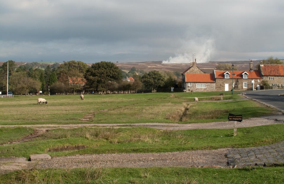 Sight · 5.4 km awayGoathlandSheep-grazed moorland village with a 70-foot waterfall below it
 Sight · 5.8 km awayGoathland StationGoathland Station: steam-age platform, Hogsmeade and Aidensfield on screen
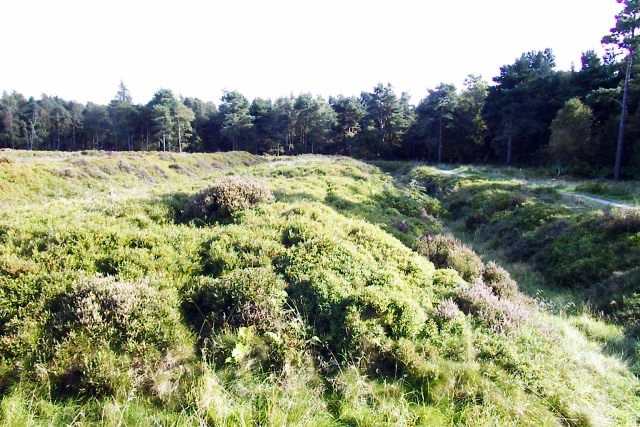 Sight · 7.1 km awayCawthorn Roman CampsMile-long walk around four Roman earthworks with wide moorland views.
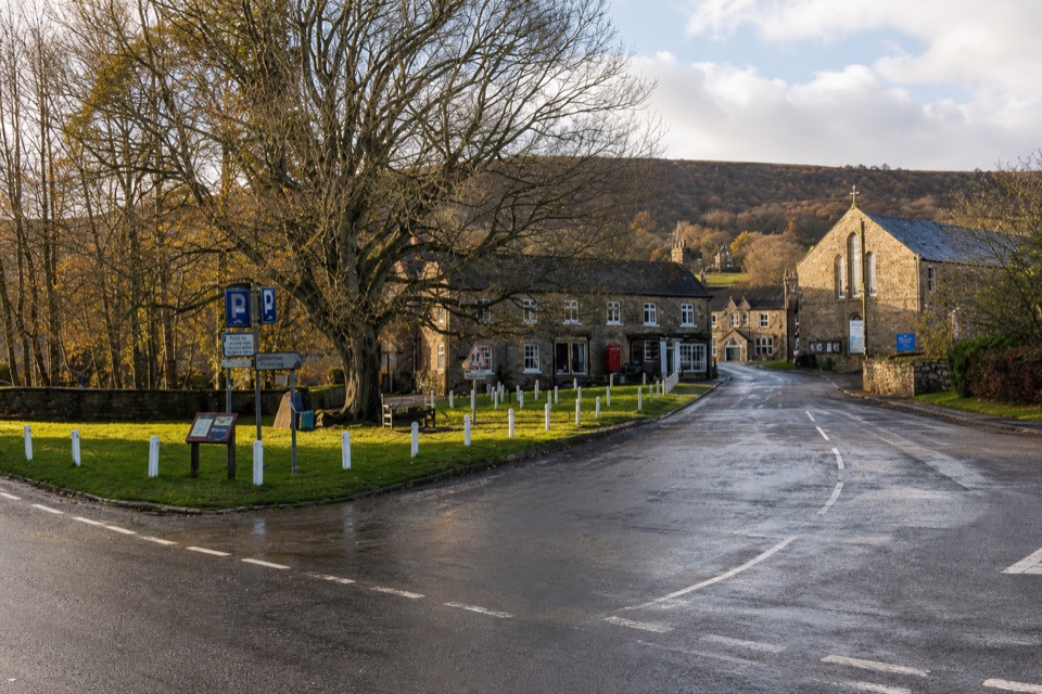 Sight · 7.7 km awayRosedale AbbeyGreen-centred dale village with ironstone kilns and moorland walks
Parkwolf’s North York Moors ranking

The audio tour guide for the drive, plus offline maps, trails, and wildlife heatmaps for when the signal drops.





