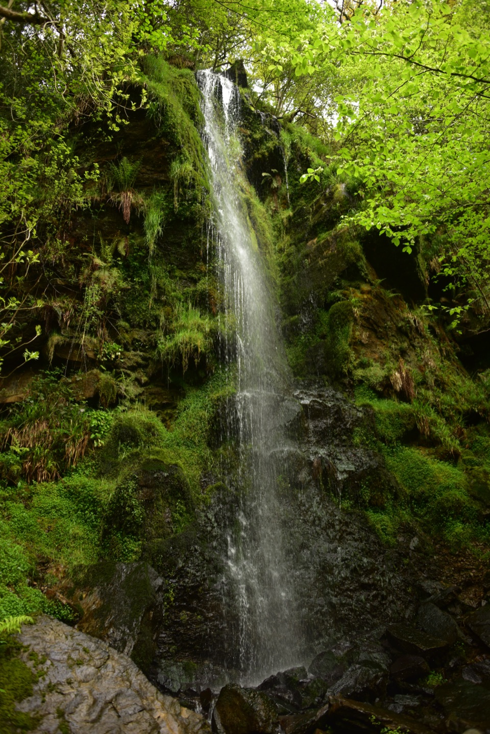
Parking
Start in Helmsley at the Cleveland Way start feature near the market square; use town car parks, then leave Filey by rail or bus.

#1 of 126 trails in North York Moors
North York Moors National Park, EN
Nine days from abbey ruins over heather moors to North Sea cliffs
Overview
Map & elevation
Plan your hike

The highest, rockiest slopes around here are a summer buffet for grizzly bears.
North York Moors Tour Guide
Parkwolf is a GPS audio tour guide for North York Moors National Park. As you drive, it chimes in with what’s ahead: hidden gems, upcoming stops, history, geology, and wildlife, right through your car’s speakers.
Recorded for this trailhead
Helmsley Castle and Town“Helmsley's market square is coming up, with the castle a short walk away. Inside those medieval defences, look for the surviving timber panelling and plasterwork: part of the fortress became an Elizabethan mansion.”
Plays as you drive up to this trailhead in the Parkwolf North York Moors Tour Guide.
More stories near here in the app
“Fantastic app with many points of information… It’s great to just turn on while you’re driving and it gives you an audio tour of the national Park. We love it!!!!”


Trail guide
This is the full 109-mile (175 km) point-to-point Cleveland Way from Helmsley to Filey Brigg, and that distance is one way with no return leg. Guidebooks usually break it into about 9 days. Most walkers go clockwise from Helmsley so the prevailing wind sits behind them along the coast, but either direction works.
Anyone reasonably fit can complete it, but the Cleveland Hills and the coastal cliffs are the hard parts, with repeated steep climbs and descents rather than one long ascent. Surfaces vary a lot: flagged moorland path, stone tracks, grassy field edges, forest road, sand and shingle, plus stretches of lane, village street and town pavement, so this is not a flat or continuously wild route. Moor tops are open and exposed to wind and weather, and the cliff path has unfenced drops in places. The trail is well signed, but carry an up-to-date map or GPS mapping and know how to use it.
You walk from limestone escarpment and heather-covered moor onto Jurassic sea cliffs, and the built history keeps pace: Rievaulx Abbey, the White Horse of Kilburn, Mount Grace Priory near the route, Gisborough Priory, Whitby Abbey and Scarborough Castle, plus alum and ironstone workings along the coast and hills.
Both ends are reachable by public transport, with bus and rail links at Helmsley and rail and bus services at Filey. Intermediate towns and villages give you transport options, food or beds for staged walking. If you are driving, use town parking in Helmsley at the start. Dogs are welcome, but keep them on a lead or under close control throughout for livestock, ground-nesting birds and cliff-edge safety.
A single day section is often the smarter choice. Sutton Bank and the White Horse, the Wainstones ridge, or a coastal stretch such as Whitby to Robin Hood's Bay each deliver the character of the trail in a few hours, and each is easy to reach and to leave.
Wildlife
 15 sightingsEurasian OtterMost seen around 7 PMSighting map
 10 sightingsRed DeerMost seen around 7 AMSighting map
 79 sightingsGrey SealMost seen around noonSighting map
 26 sightingsWestern Barn OwlMost seen around 7 PMSighting map
 33 sightingsEuropean BadgerMost seen around 7 PMSighting map
 10 sightingsMute SwanMost seen around noonSighting map
Sighting maps show where each species has been reported across North York Moors. Wildlife moves, so no sighting is guaranteed.
Keep exploring
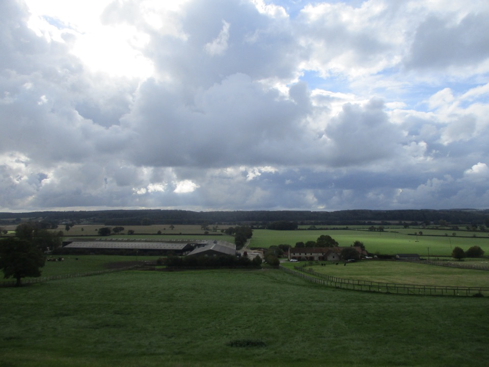 ModerateEbor Way122.9 km · 1.5 days · 0.1 km awayHelmsley to Ilkley on foot: farmland, York's walls, then gritstone moor
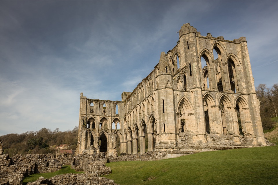 ModerateHelmsley and Rievaulx Abbey11.3 km · 4 hr · 0.1 km awayAbbey ruins, a terrace panorama and bluebell woods on a 7-mile circuit
 ChallengingSaint Aelred’s Pilgrim Trail66 km · 22 hr · 0.2 km awayNine-stage, 41-mile circuit linking Ryedale churches with Rievaulx Abbey
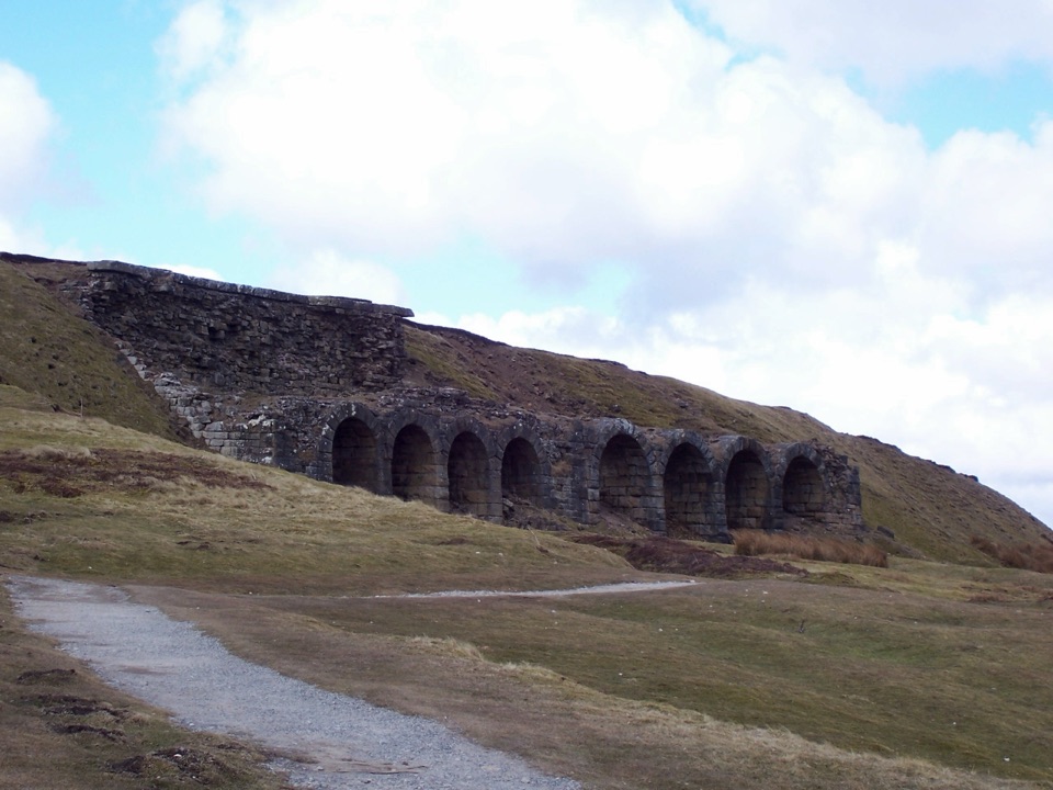 ChallengingThe Inn Way to the North York Moors143.2 km · 2 days · 0.3 km awaySix days of moorland ridges, hidden dales and village inns.
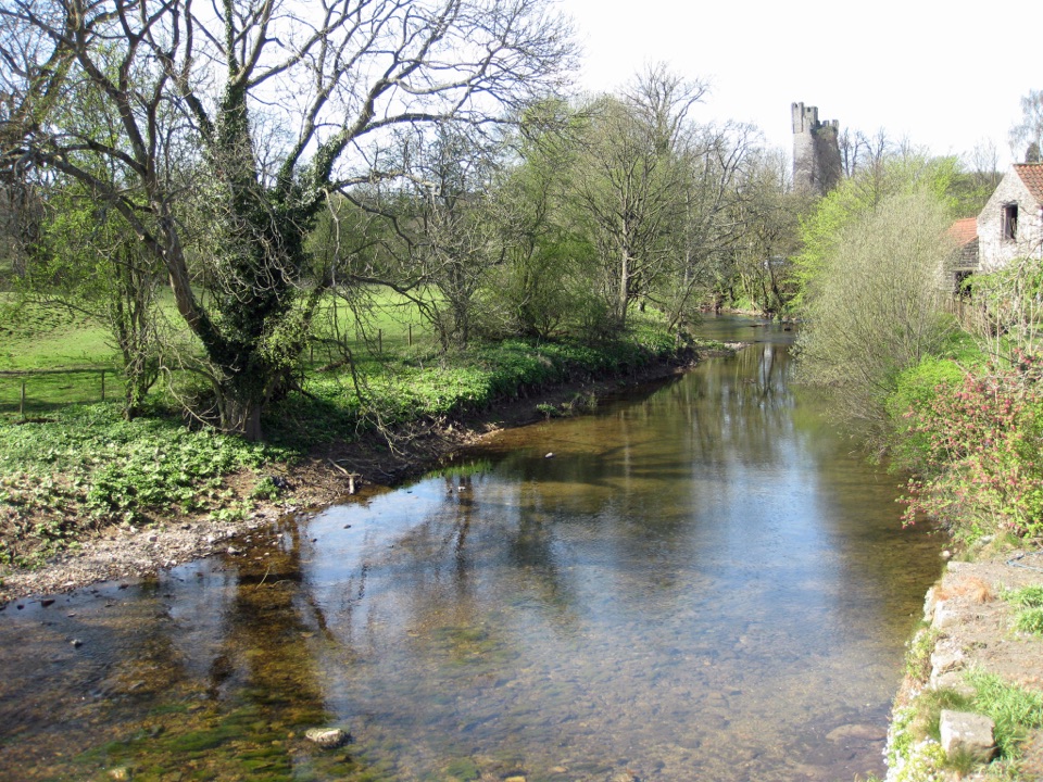 EasyHelmsley Circular Route5.8 km · 1.4 hr · 0.6 km awayEasy river loop along both banks of the Rye, through beech woodland
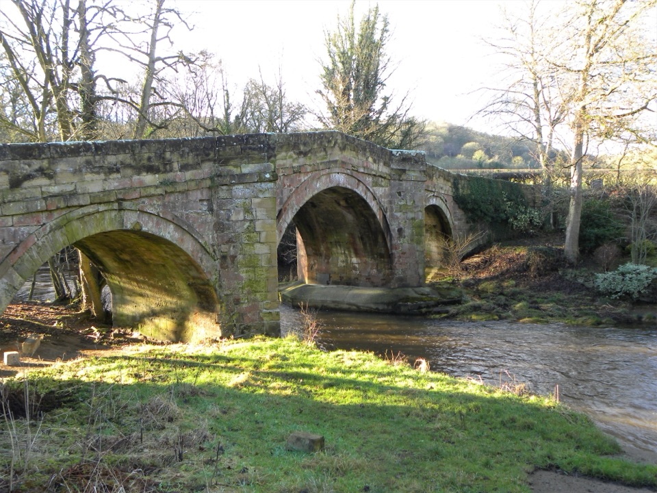 EasyRiver Folk Audio Trail3.7 km · 1 hr · 3.7 km awayShort river valley loop with downloadable audio stories by Rievaulx Abbey
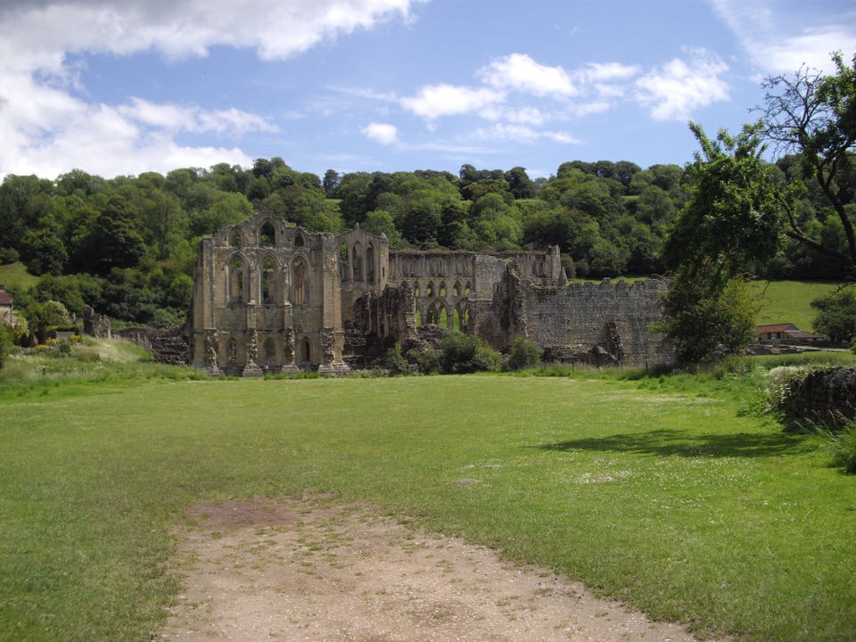 EasyRievaulx Loop3.7 km · 1 hr · 3.7 km awayAncient canal line, Bow Bridge and abbey views in one easy hourEasyMiles without Stiles (For some) - Rievaulx Loop4 km · 1.1 hr · 3.7 km awayAbbey views, bridges and bluebell woods on a short, hilly 2.5-mile loop
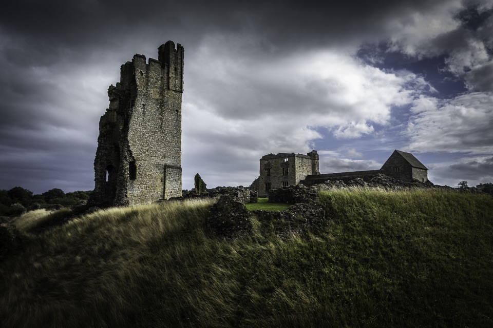 Sight · 0.2 km awayHelmsley CastleNine centuries of siege and splendour in a towering, ditch-ringed ruin
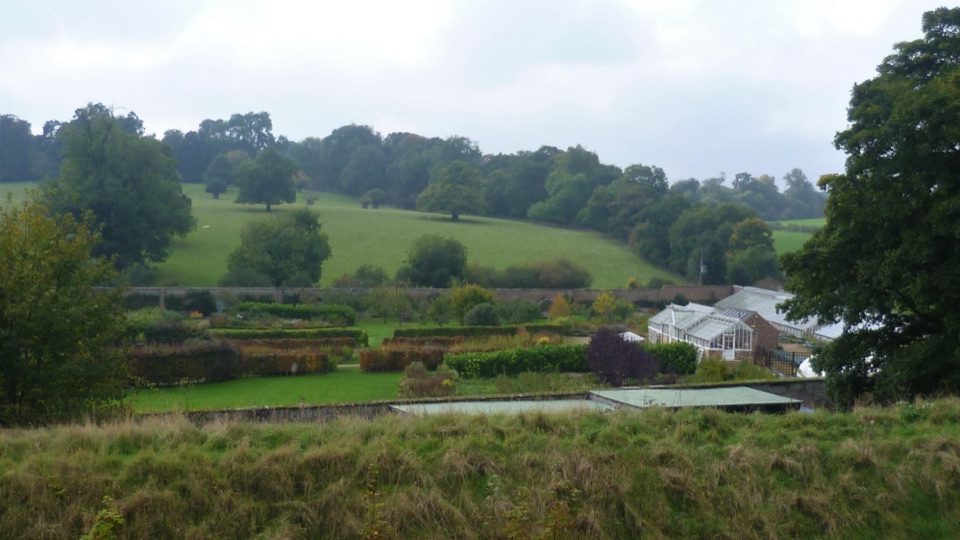 Sight · 0.3 km awayHelmsley Walled GardenFive walled acres of borders, glasshouses and orchards below the castle
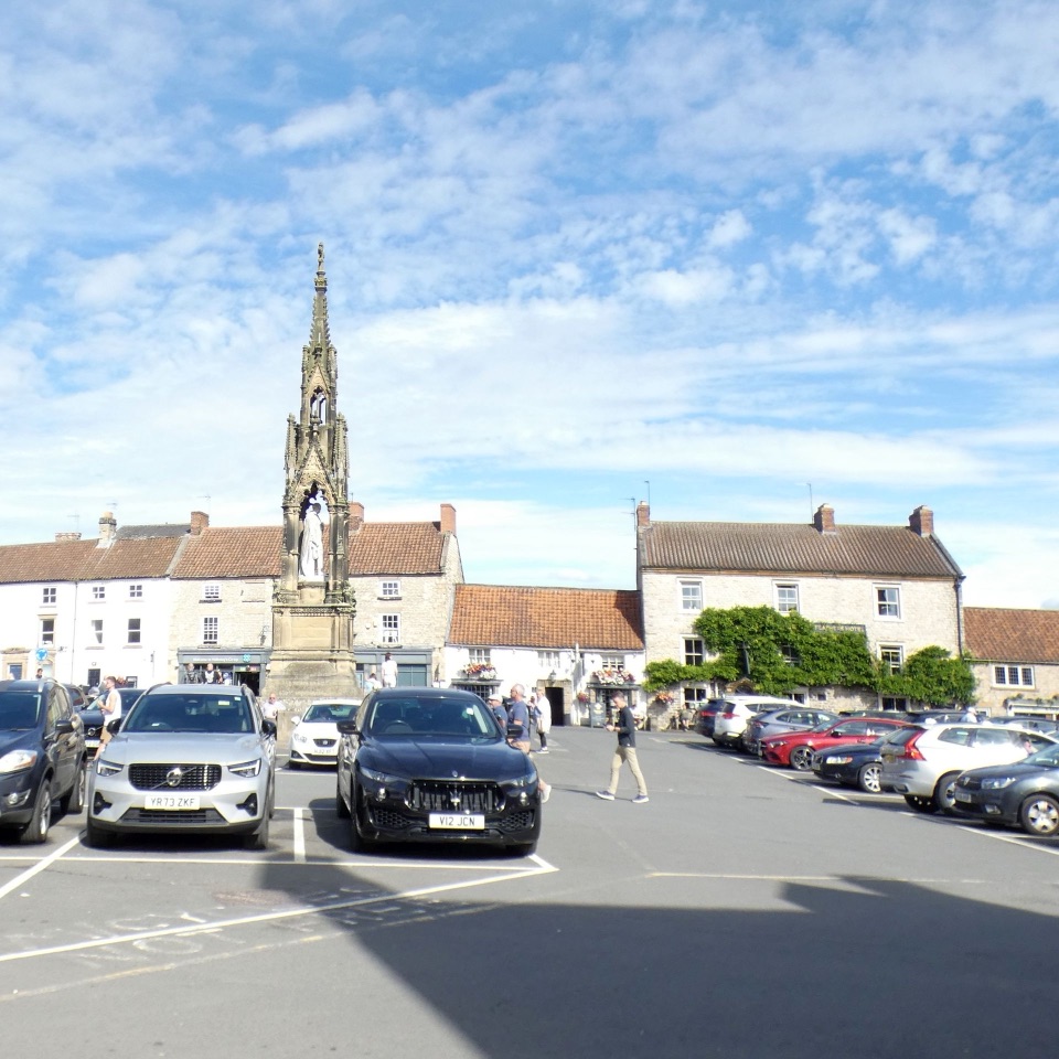 Sight · 0.3 km awayHelmsleyThe moors' only market town, and the Cleveland Way's first mile
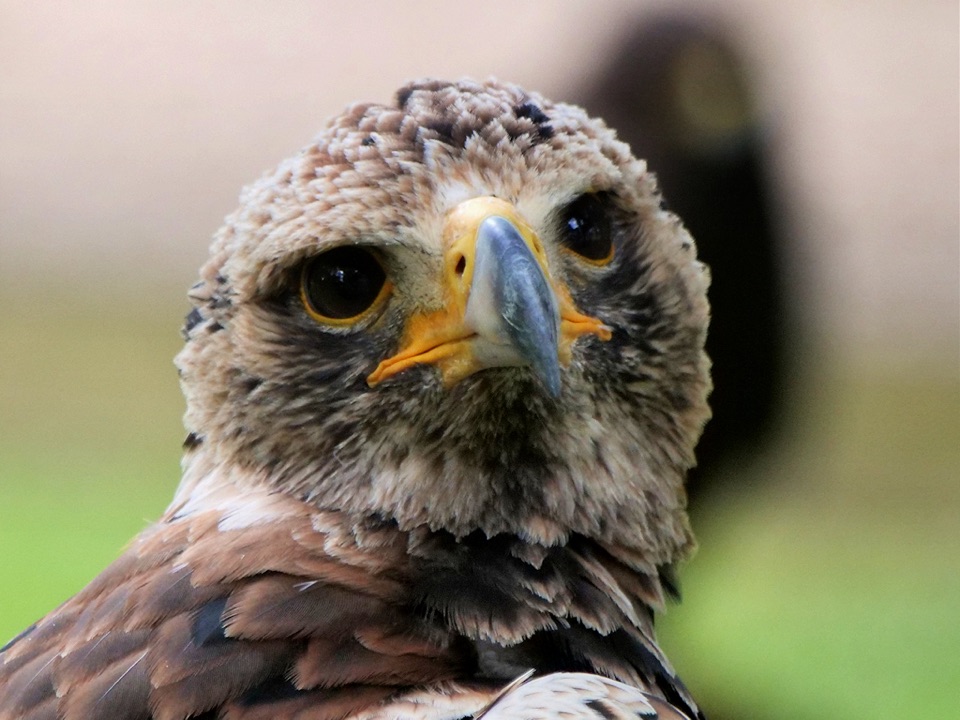 Sight · 0.9 km awayNational Centre for Birds of PreyEagles, owls and vultures flying free in ancient Duncombe woodland
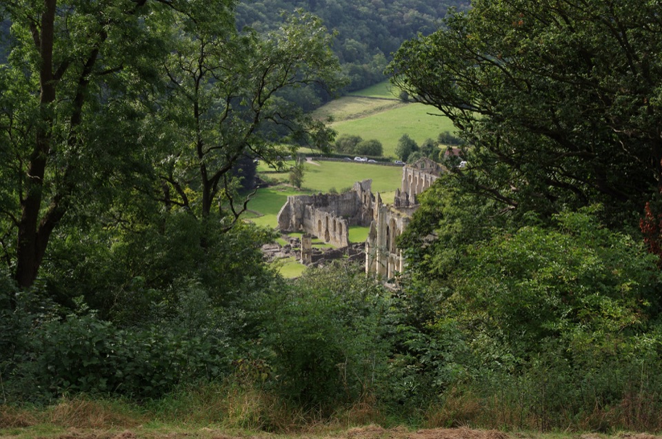 Sight · 3.2 km awayRievaulx TerraceGrassy Georgian terrace with two temples and framed abbey viewsSight · 3.6 km awayRievaulx AbbeyTall Cistercian church arches in a quiet wooded river valley
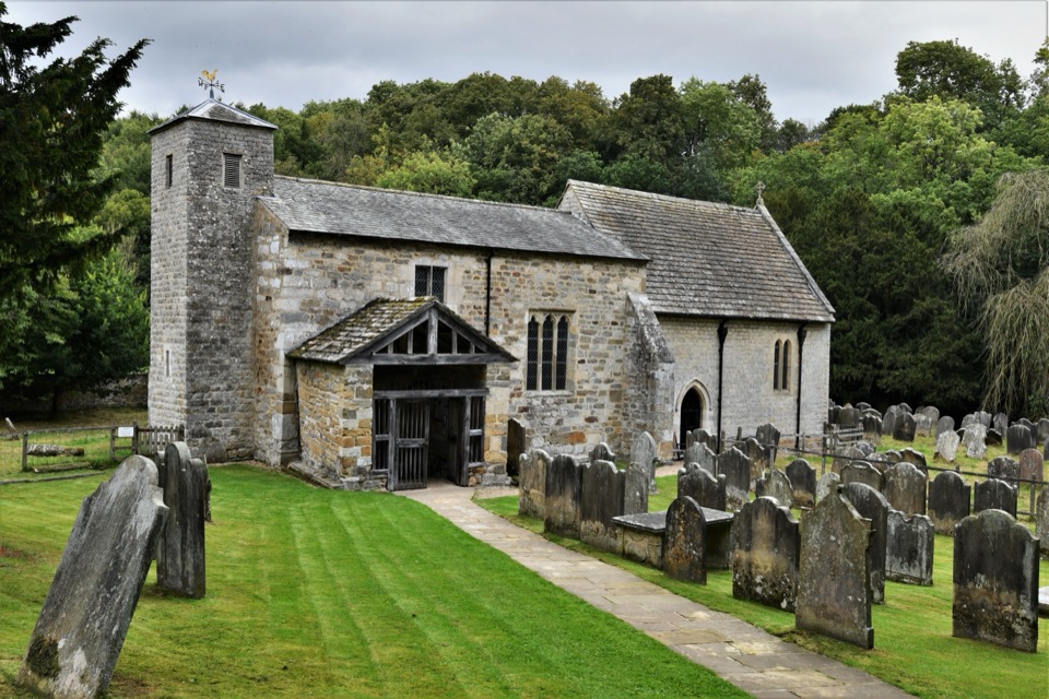 Sight · 6.9 km awaySt Gregory's Minster, KirkdaleAnglo-Saxon sundial and inscription above a quiet valley church door
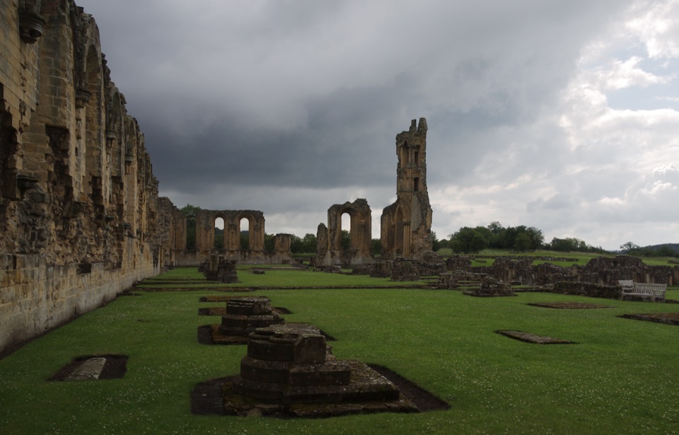 Sight · 7.8 km awayByland AbbeyByland Abbey: vast early Gothic ruins under a shattered rose window
Parkwolf’s North York Moors ranking

The audio tour guide for the drive, plus offline maps, trails, and wildlife heatmaps for when the signal drops.