Parking
Roadside parking for walkers in Rievaulx is limited. The English Heritage Rievaulx Abbey car park is for Abbey visitors, not walkers.
North York Moors National Park, EN
Abbey views, bridges and bluebell woods on a short, hilly 2.5-mile loop
Overview
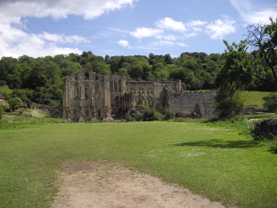
The reward is the combination of Rievaulx Abbey and Rievaulx Terrace seen through trees, plus woodland, farmland, the River Rye landscape and two historic bridges. For the distance involved, the variety is strong.
 Parkwolf’s verdictScenery and the payoff
Map & elevation
Plan your hike

The highest, rockiest slopes around here are a summer buffet for grizzly bears.
North York Moors Tour Guide
Parkwolf is a GPS audio tour guide for North York Moors National Park. As you drive, it chimes in with what’s ahead: hidden gems, upcoming stops, history, geology, and wildlife, right through your car’s speakers.
Recorded for this trailhead
Rievaulx Abbey“You're approaching Rievaulx Abbey, hidden low in the wooded valley of the River Rye. Its scale only becomes clear once you're among the ruins, where the church arcades still stand several storeys high.”
Plays as you drive up to this trailhead in the Parkwolf North York Moors Tour Guide.
More stories near here in the app
“Fantastic app with many points of information… It’s great to just turn on while you’re driving and it gives you an audio tour of the national Park. We love it!!!!”


Trail guide
A circular walk of 4 km (2.5 miles) starting and finishing at Rievaulx Abbey and Rievaulx village, looping around Ashberry Hill. The listed time is about 1 hour 5 minutes, with roughly 86 m of ascent and 87 m of descent between 74 m and 123 m. Overall difficulty is easy, but the loop is not flat and it packs several short, steep pitches into a small distance.
The line is easy to follow but uses several turns, so a phone battery pack is worth carrying if you are navigating digitally.
This is a Miles Without Stiles "For some" route: no steps and no stiles, and most surfaces are firm and even. The steeper and rougher parts are the catch:
Surfaces include grass that can turn soft or muddy in wet weather, leaf litter and soil over a firm surfaced path, some rougher ground, and stretches of road. Treat mud and the short 1:3 woodland grade as the main things to judge before setting out. This should not be described as universally wheelchair accessible; the category is meant for people who can manage the steeper or rougher sections.
Parking in Rievaulx is limited. There is roadside parking for walkers, and arriving early gives you the best chance of a space. The English Heritage car park at Rievaulx Abbey is for Abbey visitors, not walker parking.
The route includes sections on public roads, so traffic is a recurring hazard along the walk.
Dogs are welcome subject to normal control and public rights of way rules. In relevant moorland areas, dogs must stay on rights of way and be kept on a lead shorter than 2 m from 1 March to 31 July to protect ground-nesting birds.
Wildlife
 15 sightingsEurasian OtterMost seen around 7 PMSighting map
 10 sightingsRed DeerMost seen around 7 AMSighting map
 79 sightingsGrey SealMost seen around noonSighting map
 26 sightingsWestern Barn OwlMost seen around 7 PMSighting map
 33 sightingsEuropean BadgerMost seen around 7 PMSighting map
 10 sightingsMute SwanMost seen around noonSighting map
Sighting maps show where each species has been reported across North York Moors. Wildlife moves, so no sighting is guaranteed.
Keep exploring
EasyRievaulx Loop3.7 km · 1 hr · At the trailheadAncient canal line, Bow Bridge and abbey views in one easy hour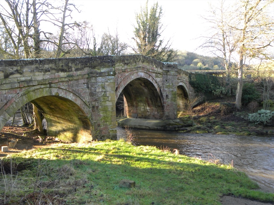 EasyRiver Folk Audio Trail3.7 km · 1 hr · At the trailheadShort river valley loop with downloadable audio stories by Rievaulx Abbey
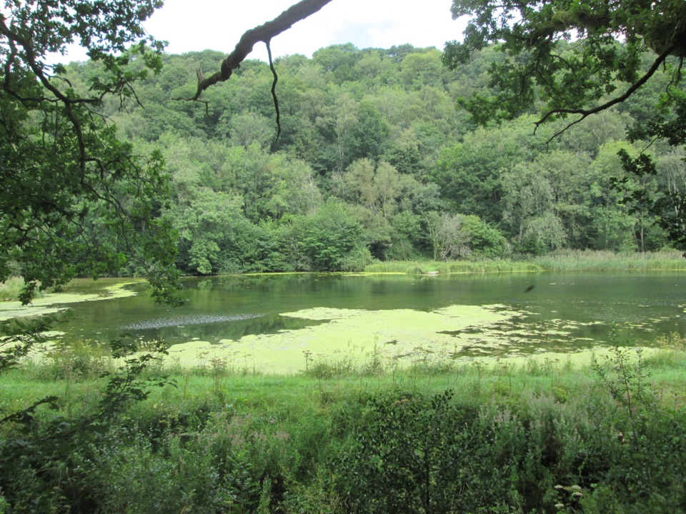 EasyMiles without Stiles (For many) - Nettledale1.6 km · 45 min · 1.3 km awayA gentle woodland track to ponds and a Cleveland Way stream crossing
 ChallengingCleveland Way National Trail175.4 km · 2.3 days · 3.7 km awayNine days from abbey ruins over heather moors to North Sea cliffs
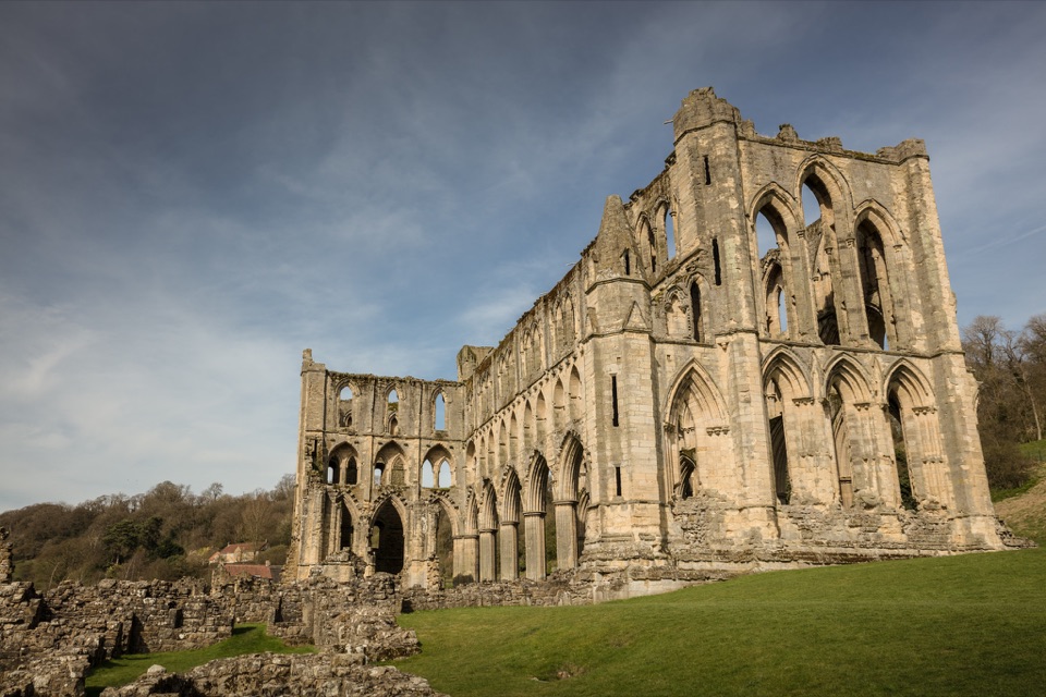 ModerateHelmsley and Rievaulx Abbey11.3 km · 4 hr · 3.7 km awayAbbey ruins, a terrace panorama and bluebell woods on a 7-mile circuit
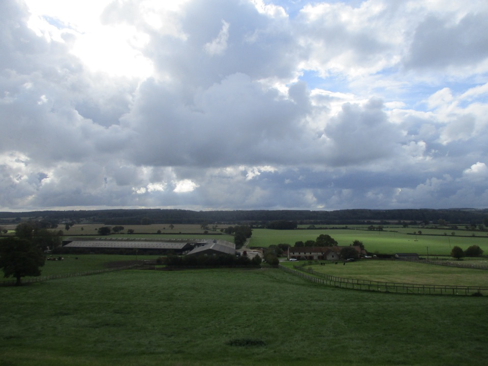 ModerateEbor Way122.9 km · 1.5 days · 3.7 km awayHelmsley to Ilkley on foot: farmland, York's walls, then gritstone moor
 ChallengingSaint Aelred’s Pilgrim Trail66 km · 22 hr · 3.9 km awayNine-stage, 41-mile circuit linking Ryedale churches with Rievaulx Abbey
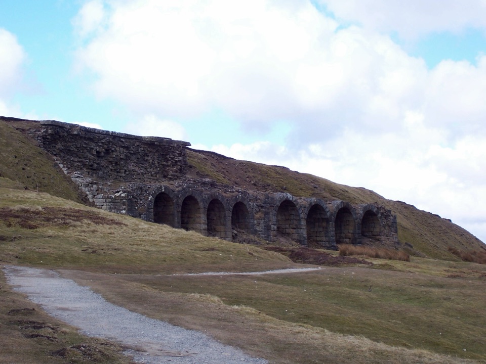 ChallengingThe Inn Way to the North York Moors143.2 km · 2 days · 4 km awaySix days of moorland ridges, hidden dales and village inns.Sight · 0.1 km awayRievaulx AbbeyTall Cistercian church arches in a quiet wooded river valley
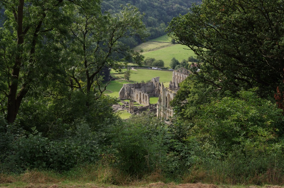 Sight · 0.5 km awayRievaulx TerraceGrassy Georgian terrace with two temples and framed abbey views
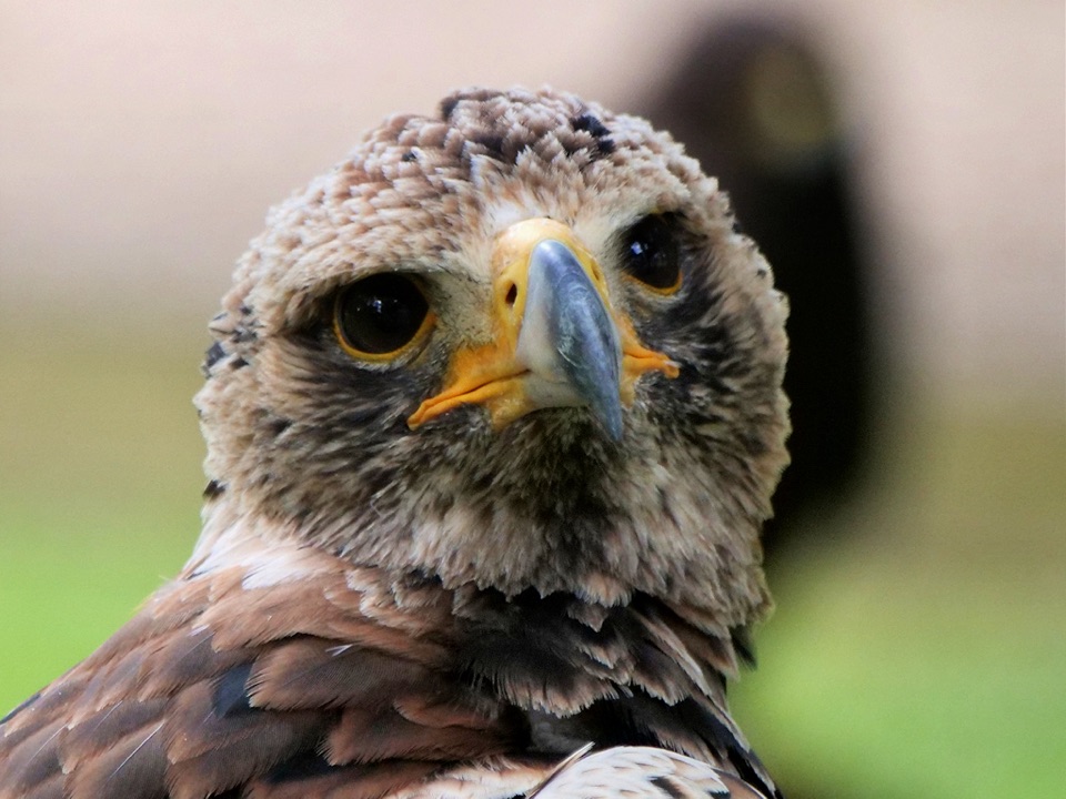 Sight · 3.3 km awayNational Centre for Birds of PreyEagles, owls and vultures flying free in ancient Duncombe woodland
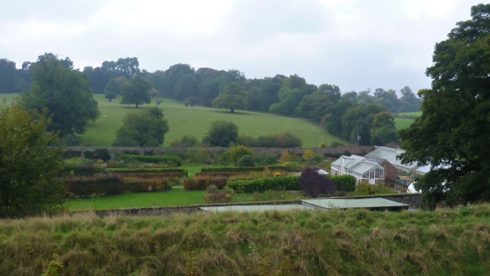 Sight · 3.7 km awayHelmsley Walled GardenFive walled acres of borders, glasshouses and orchards below the castle
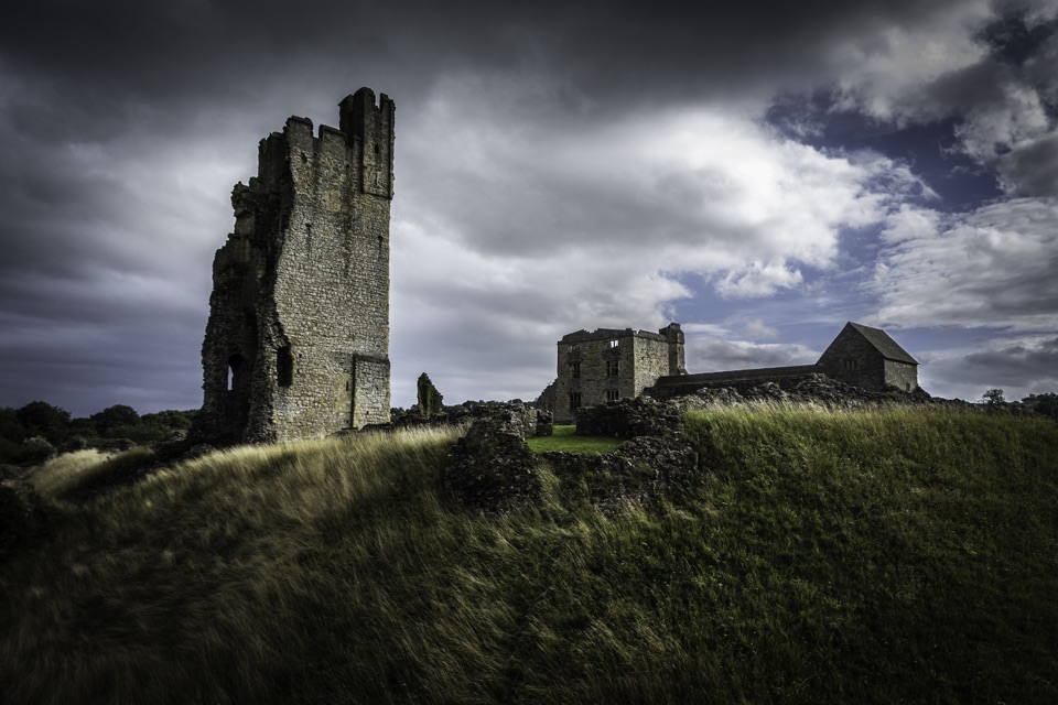 Sight · 3.8 km awayHelmsley CastleNine centuries of siege and splendour in a towering, ditch-ringed ruin
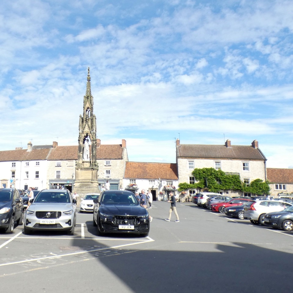 Sight · 4 km awayHelmsleyThe moors' only market town, and the Cleveland Way's first mile
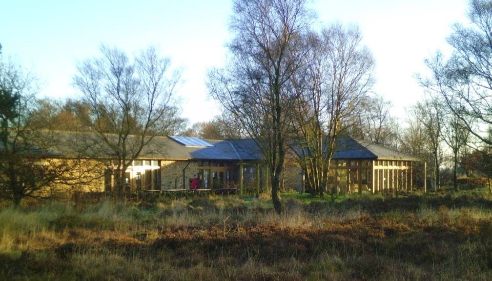 Visitor center · 6.2 km awaySutton Bank National Park CentreEscarpment-edge hub with huge views, easy trails and family bike routes
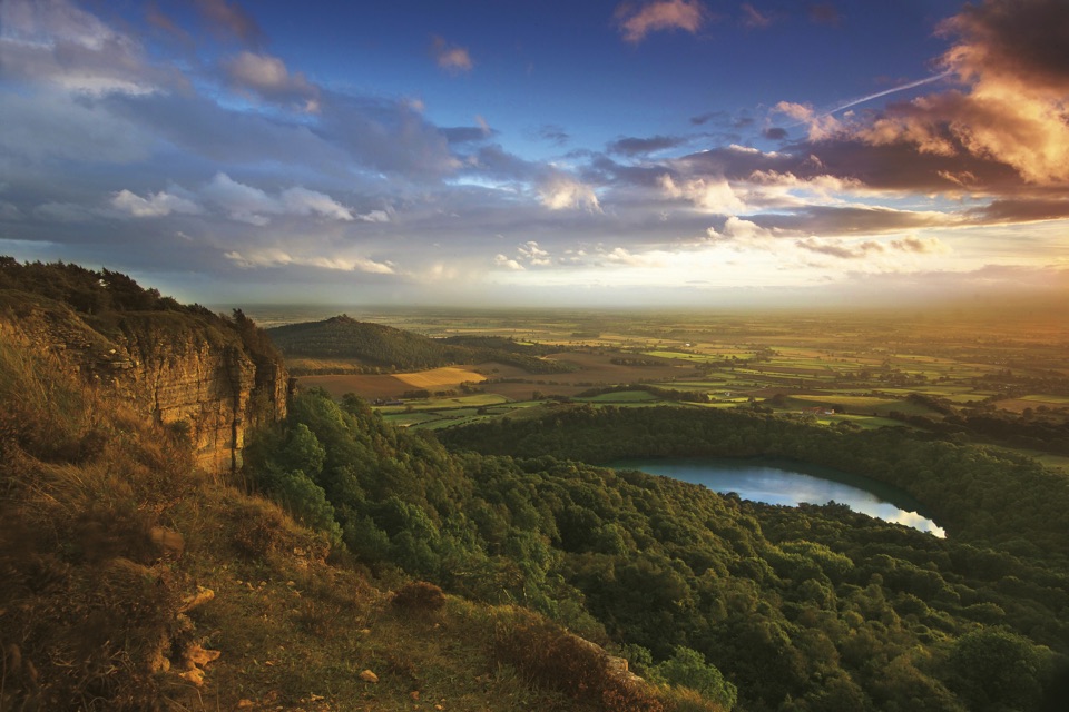 Sight · 6.5 km awaySutton Bank ViewpointCliff-edge panorama over the Vale of York, Gormire Lake below
Parkwolf’s North York Moors ranking
The audio tour guide for the drive, plus offline maps, trails, and wildlife heatmaps for when the signal drops.




