Parking
Start and finish at Rievaulx Abbey car park, where pay-and-display parking is available. The route begins from the abbey access.
North York Moors National Park, EN
Short river valley loop with downloadable audio stories by Rievaulx Abbey
Overview
Map & elevation
Plan your hike

The highest, rockiest slopes around here are a summer buffet for grizzly bears.
North York Moors Tour Guide
Parkwolf is a GPS audio tour guide for North York Moors National Park. As you drive, it chimes in with what’s ahead: hidden gems, upcoming stops, history, geology, and wildlife, right through your car’s speakers.
Recorded for this trailhead
Rievaulx Abbey“You're approaching Rievaulx Abbey, hidden low in the wooded valley of the River Rye. Its scale only becomes clear once you're among the ruins, where the church arcades still stand several storeys high.”
Plays as you drive up to this trailhead in the Parkwolf North York Moors Tour Guide.
More stories near here in the app
“Fantastic app with many points of information… It’s great to just turn on while you’re driving and it gives you an audio tour of the national Park. We love it!!!!”


Trail guide
This is a circular walk of 2.3 miles (3.7 km) that starts and finishes at the Rievaulx Abbey access, and it comes with a downloadable audio piece about the River Rye and the people who have lived alongside it. Allow about an hour of walking, plus extra time if you want to stop and listen properly.
From the abbey area you drop into the River Rye valley, pass the Rievaulx Bridge and river setting, then work through woodland and open fields before curving back to where you parked. The abbey ruins and the valley sit in the background for much of it, so the scenery does a lot of the work while the audio fills in the history and community stories. The recording was made by audio theatre artist Helena Fox with local people taking part, as part of the Ryevitalise Landscape Partnership.
Rated easy, with roughly 51 m of ascent and the same again coming down, running between about 74 m and 123 m. Surfaces are mostly path (around 55%) with a fair stretch of asphalt (about 34%), plus small sections of forested or wild trail and dirt road. Nothing technical, but expect the usual soft ground and mud on the path sections after wet weather.
Start and finish at Rievaulx Abbey, grid reference SE 57500 85037. Parking is pay and display at the Rievaulx Abbey car park.
Phone signal around Rievaulx can be patchy, so download the audio and the map before you arrive. Bring headphones, and charge your phone, since the audio is the main reason to do this particular loop rather than a plain valley wander.
Dogs are welcome if you keep them under control. On this route stick to the public paths and keep your dog on a lead or reliably to heel; where ground-nesting birds are around, a short lead of under 2 m applies between 1 March and 31 July.
Wildlife
 15 sightingsEurasian OtterMost seen around 7 PMSighting map
 10 sightingsRed DeerMost seen around 7 AMSighting map
 79 sightingsGrey SealMost seen around noonSighting map
 26 sightingsWestern Barn OwlMost seen around 7 PMSighting map
 33 sightingsEuropean BadgerMost seen around 7 PMSighting map
 10 sightingsMute SwanMost seen around noonSighting map
Sighting maps show where each species has been reported across North York Moors. Wildlife moves, so no sighting is guaranteed.
Keep exploring
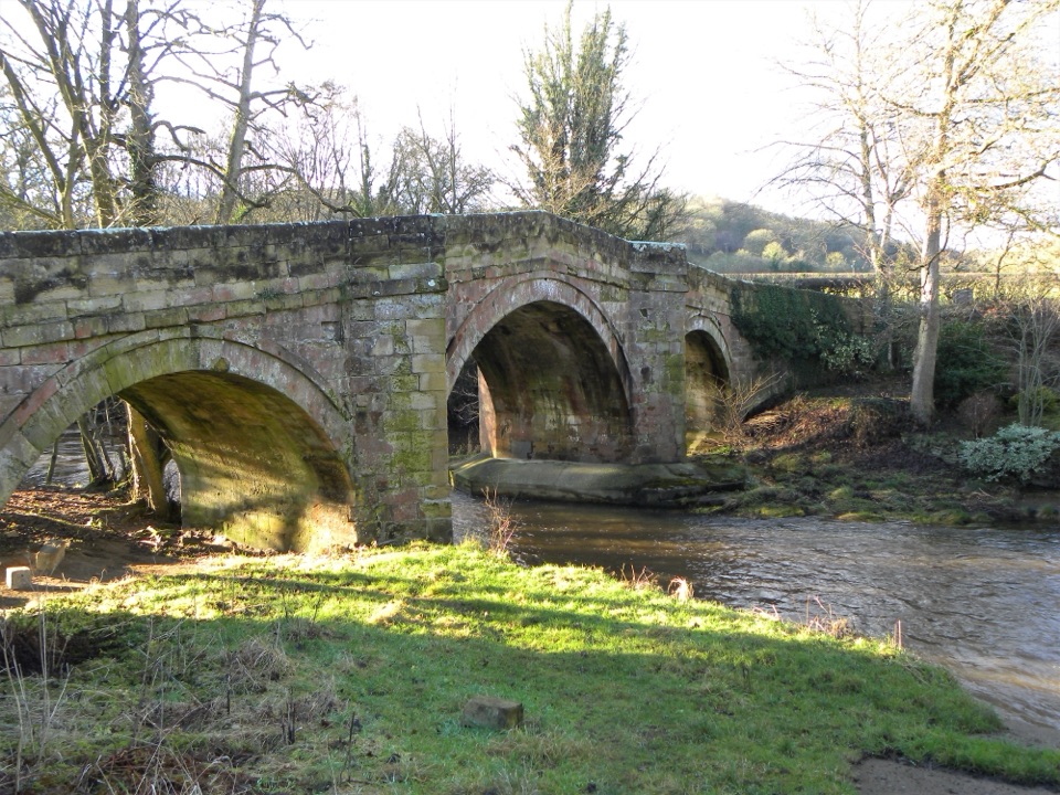
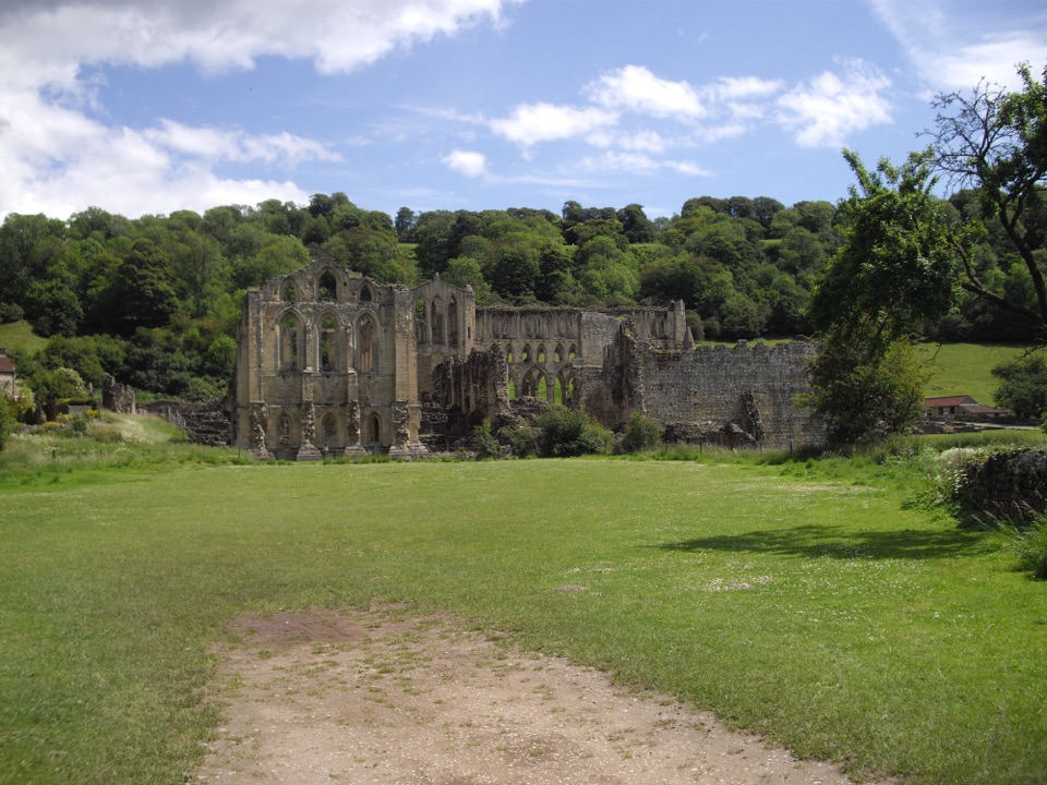 EasyRievaulx Loop3.7 km · 1 hr · At the trailheadAncient canal line, Bow Bridge and abbey views in one easy hourEasyMiles without Stiles (For some) - Rievaulx Loop4 km · 1.1 hr · At the trailheadAbbey views, bridges and bluebell woods on a short, hilly 2.5-mile loop
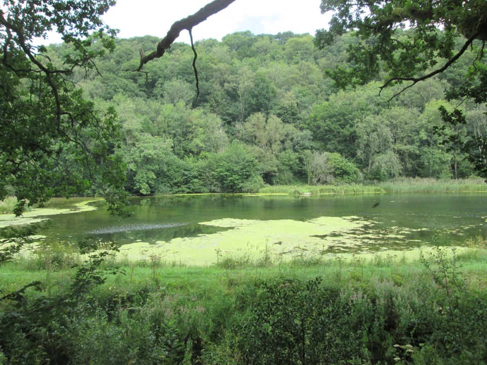 EasyMiles without Stiles (For many) - Nettledale1.6 km · 45 min · 1.3 km awayA gentle woodland track to ponds and a Cleveland Way stream crossing
 ChallengingCleveland Way National Trail175.4 km · 2.3 days · 3.7 km awayNine days from abbey ruins over heather moors to North Sea cliffs
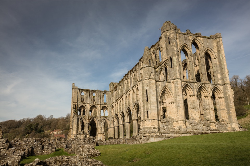 ModerateHelmsley and Rievaulx Abbey11.3 km · 4 hr · 3.7 km awayAbbey ruins, a terrace panorama and bluebell woods on a 7-mile circuit
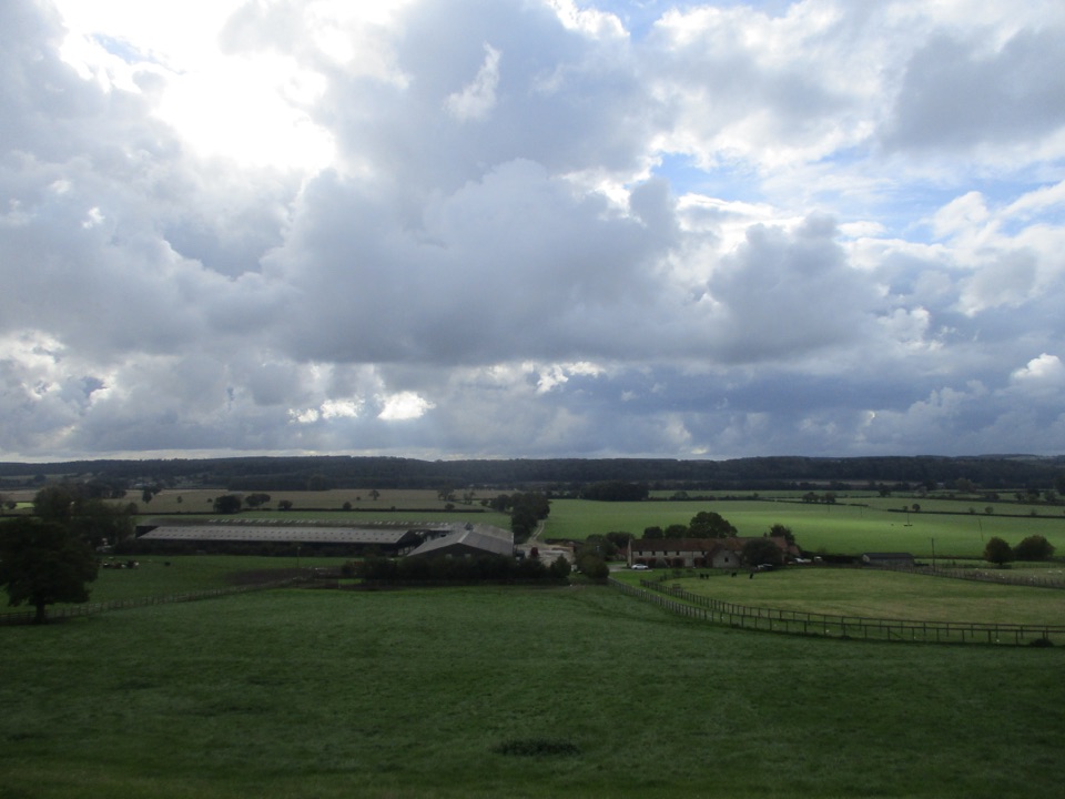 ModerateEbor Way122.9 km · 1.5 days · 3.7 km awayHelmsley to Ilkley on foot: farmland, York's walls, then gritstone moor
 ChallengingSaint Aelred’s Pilgrim Trail66 km · 22 hr · 3.8 km awayNine-stage, 41-mile circuit linking Ryedale churches with Rievaulx Abbey
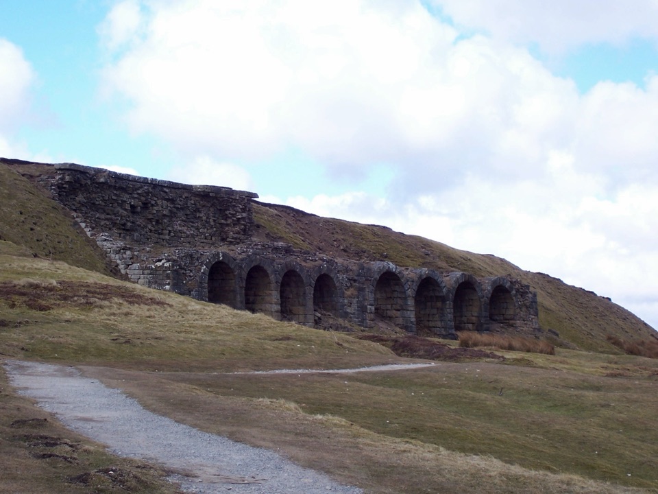 ChallengingThe Inn Way to the North York Moors143.2 km · 2 days · 3.9 km awaySix days of moorland ridges, hidden dales and village inns.Sight · 0.1 km awayRievaulx AbbeyTall Cistercian church arches in a quiet wooded river valley
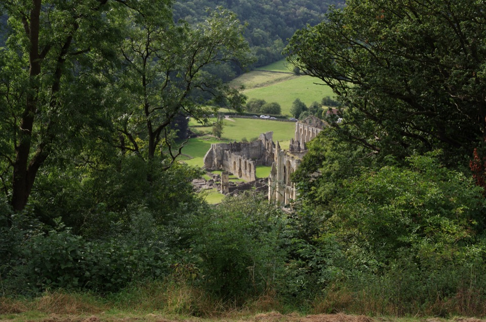 Sight · 0.5 km awayRievaulx TerraceGrassy Georgian terrace with two temples and framed abbey views
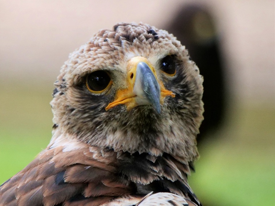 Sight · 3.4 km awayNational Centre for Birds of PreyEagles, owls and vultures flying free in ancient Duncombe woodland
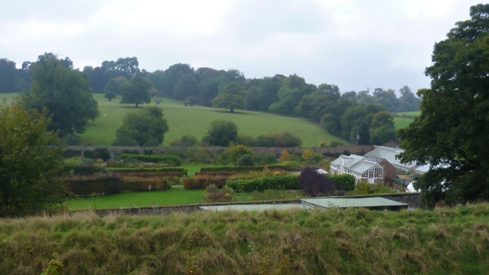 Sight · 3.7 km awayHelmsley Walled GardenFive walled acres of borders, glasshouses and orchards below the castle
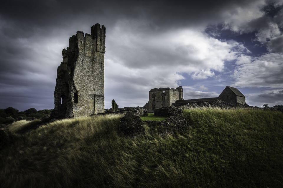 Sight · 3.8 km awayHelmsley CastleNine centuries of siege and splendour in a towering, ditch-ringed ruin
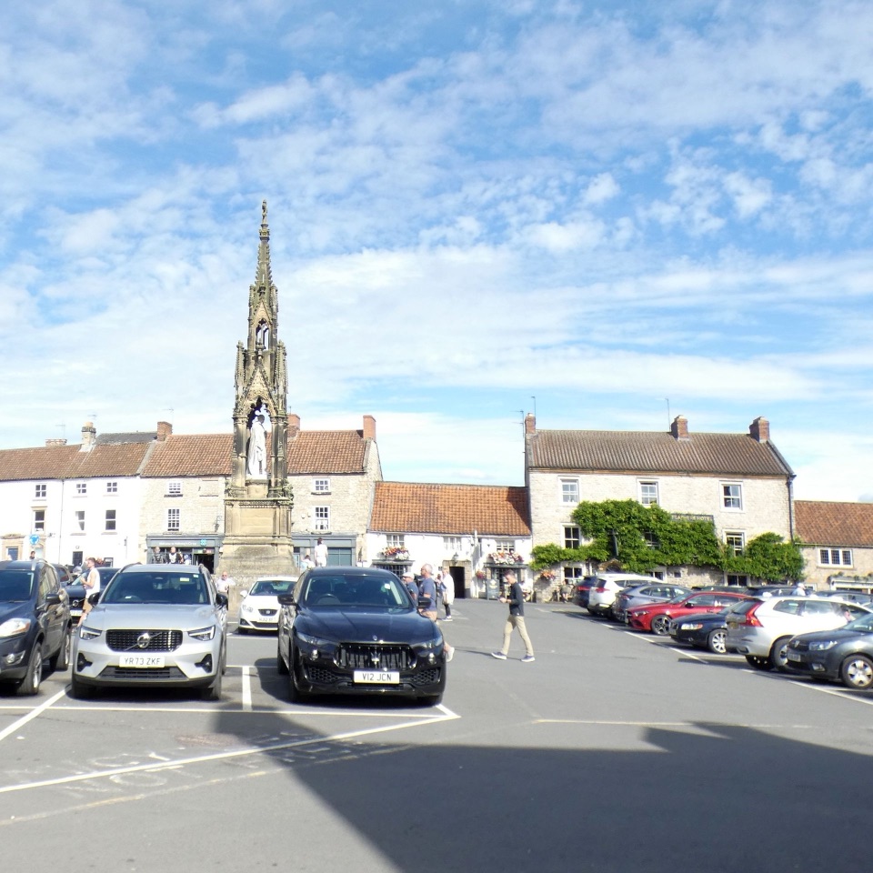 Sight · 3.9 km awayHelmsleyThe moors' only market town, and the Cleveland Way's first mile
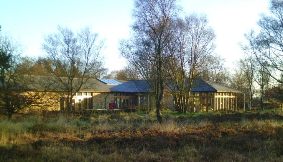 Visitor center · 6.2 km awaySutton Bank National Park CentreEscarpment-edge hub with huge views, easy trails and family bike routes
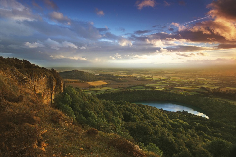 Sight · 6.5 km awaySutton Bank ViewpointCliff-edge panorama over the Vale of York, Gormire Lake below
Parkwolf’s North York Moors ranking

The audio tour guide for the drive, plus offline maps, trails, and wildlife heatmaps for when the signal drops.




