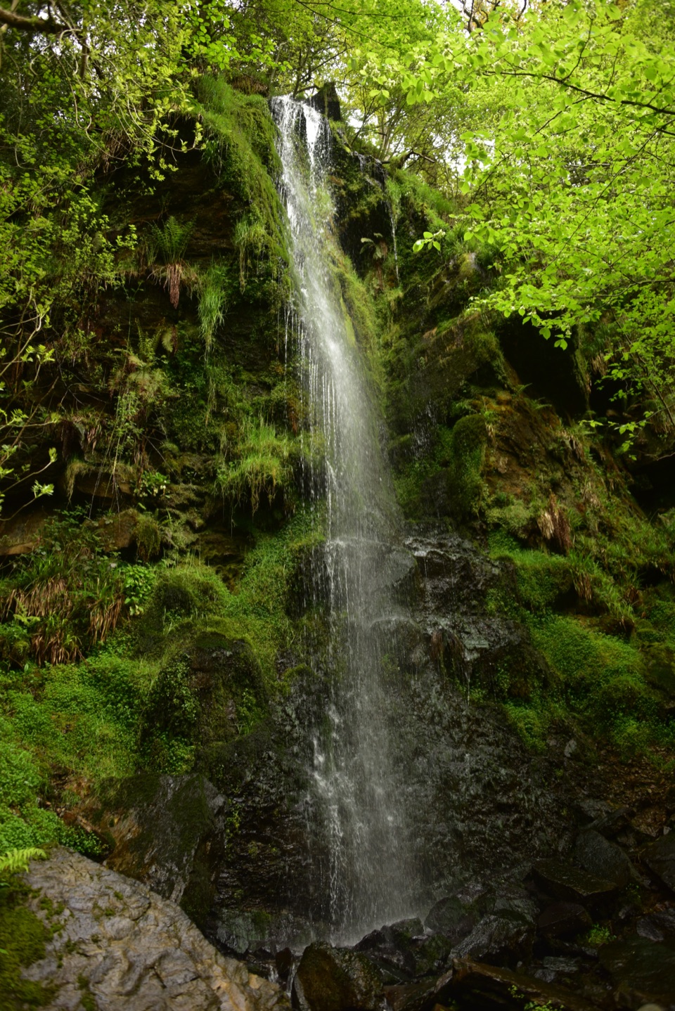
Parking
Start at the Ravenscar Visitor Centre / National Trust Coastal Centre. Free roadside parking is available around Ravenscar; do not rely on a dedicated lot or guaranteed space.

#5 of 126 trails in North York Moors
North York Moors National Park, EN
Moorland tracks, cliff paths and a seaside village in an 11-mile loop
Overview
Map & elevation
Plan your hike

The highest, rockiest slopes around here are a summer buffet for grizzly bears.
North York Moors Tour Guide
Parkwolf is a GPS audio tour guide for North York Moors National Park. As you drive, it chimes in with what’s ahead: hidden gems, upcoming stops, history, geology, and wildlife, right through your car’s speakers.
Recorded for this trailhead
Ravenscar“You're approaching Ravenscar, high on the headland above the full sweep of Robin Hood's Bay. From the cliff-top path, frame the bay's long curve; this is the view that earns the stop.”
Plays as you drive up to this trailhead in the Parkwolf North York Moors Tour Guide.
More stories near here in the app
“Fantastic app with many points of information… It’s great to just turn on while you’re driving and it gives you an audio tour of the national Park. We love it!!!!”


Trail guide
A circular day walk from Ravenscar that officially measures 11 miles (17.7 km) and takes about 6.5 hours. It is graded strenuous, around 7/10 in our book, because of rough moorland tracks, stiles, steep descents and ascents at Boggle Hole and Stoupe Beck, and long stretches of exposed sea cliff. The mapped line we hold comes out at 17.05 km (10.59 miles), a normal difference from mapping simplification and consistent with the rounded official figure.
Start and finish at the Ravenscar National Trust Coastal Centre.
The walk starts high on the Ravenscar headland, works its way down close to sea level on the coastal stretch, and then climbs all of that height back on the return leg. Expect a mix of rough moor track, old railway bed, field paths with stiles, village streets and steps, and narrow clifftop trail. The steep sections at Boggle Hole and Stoupe Beck, followed by the long climb back to Ravenscar, are the sting in the tail. Save energy for the end rather than spending it on the moor.
Cliff edges are genuinely exposed in places, and visibility can turn quickly on both the moor and the coast. Carry a map and a compass or a charged navigation device, plus wind and rain layers whatever the forecast looked like at the car. The official route notes a shore alternative at Robin Hood's Bay that is only usable at low tide, but this route stays on the cliff path and should not be treated as a beach walk. On the Cinder Track, share the way with cyclists and horse riders.
The named start is the Ravenscar Visitor Centre and National Trust Coastal Centre, grid reference NZ 981 016. Parking in Ravenscar is free roadside, so there is no dedicated car park and no guarantee of a space; arrive early and park considerately. Public toilets are about 200 metres from the Visitor Centre.
Dogs are welcome but must be on a lead or under close control throughout. On Howdale Moor keep them on a short lead or tightly at heel, always on a short lead near livestock, and within two metres from 1 March to 31 July to protect ground-nesting birds.
The appeal here is the mix: open moorland, a former railway line, a coastal village, clifftop walking and alum industry remains all inside one loop. The cost is a long day, steep ground at Boggle Hole and Stoupe Beck, and a sustained climb back to Ravenscar when legs are tired. It is also not a walk to shorten on the fly, since the sequence commits you to the full circuit once you are down at sea level.
Wildlife
 15 sightingsEurasian OtterMost seen around 7 PMSighting map
 10 sightingsRed DeerMost seen around 7 AMSighting map
 79 sightingsGrey SealMost seen around noonSighting map
 26 sightingsWestern Barn OwlMost seen around 7 PMSighting map
 33 sightingsEuropean BadgerMost seen around 7 PMSighting map
 10 sightingsMute SwanMost seen around noonSighting map
Sighting maps show where each species has been reported across North York Moors. Wildlife moves, so no sighting is guaranteed.
Keep exploring
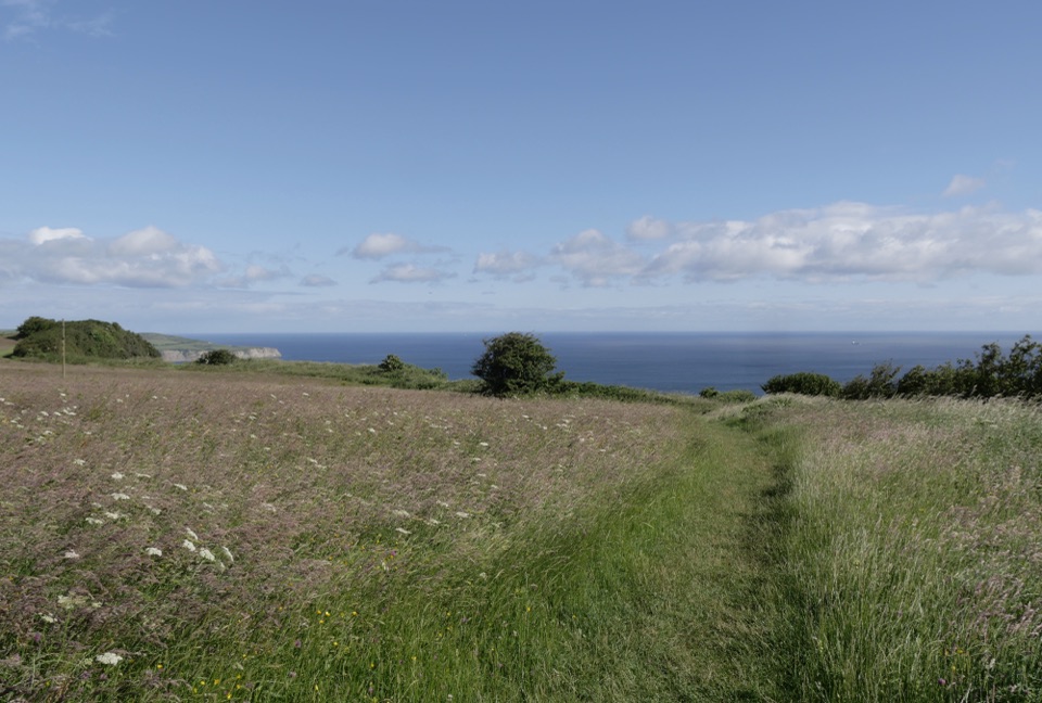 EasyMiles without Stiles (For some) - Ravenscar2.4 km · 45 min · 0.6 km awayShort cliff-top loops from Station Square, level or steeper options
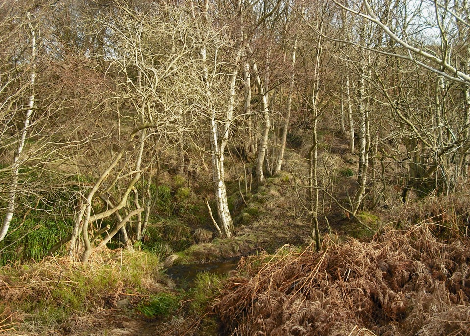 ModerateHowdale Moor and Brow Moor6.1 km · 2.5 hr · 1.1 km awayHeather moorland loop above Ravenscar, coast views and burial mounds
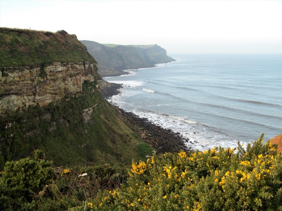 ModerateRobin Hood's Bay and Maw Wyke9.7 km · 4 hr · 4.9 km awayClifftop seabird views to a sheltered inlet, easy railway return
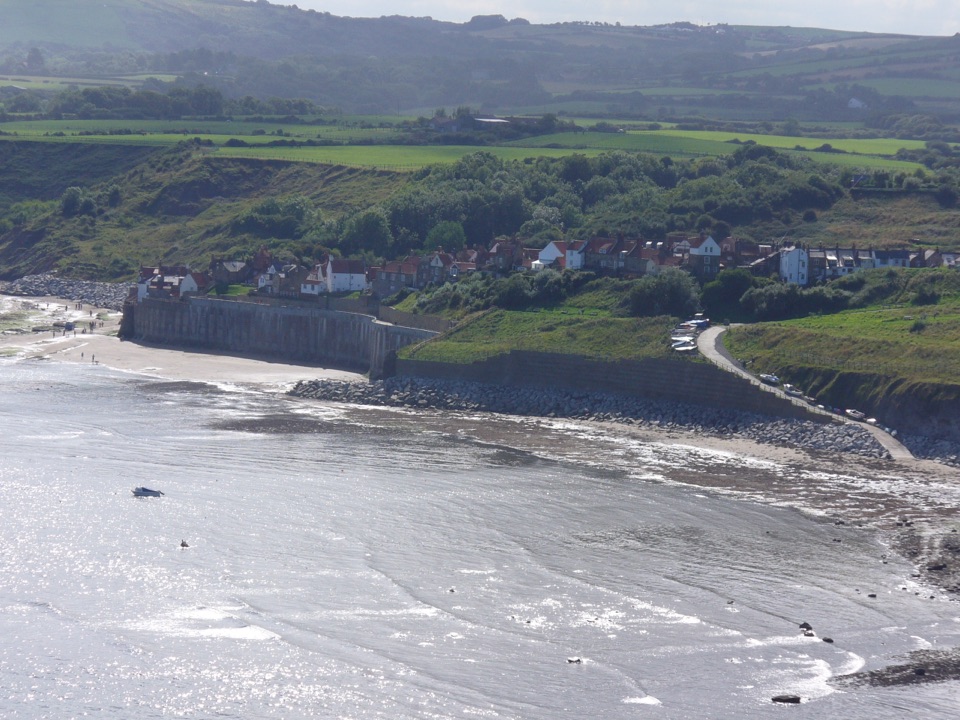 EasyRobin Hood's Bay Miles without Stiles Walk1.4 km · 45 min · 4.9 km awaySurfaced clifftop stroll to a sweeping view across the bay to Ravenscar
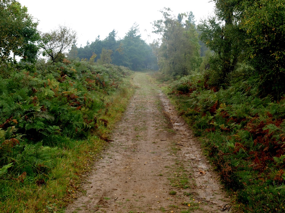 ModerateMiles without Stiles (For some) - Broxa Forest9.2 km · 2.3 hr · 7.4 km awayGentle forest tracks to an escarpment edge above Harwood Dale
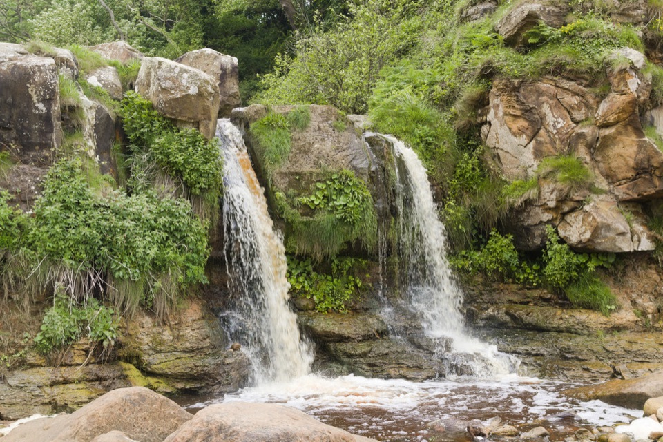 ModerateCloughton and Hayburn Wyke8 km · 3 hr · 8.1 km awayClifftop coast path to a waterfall cove, level old railway back
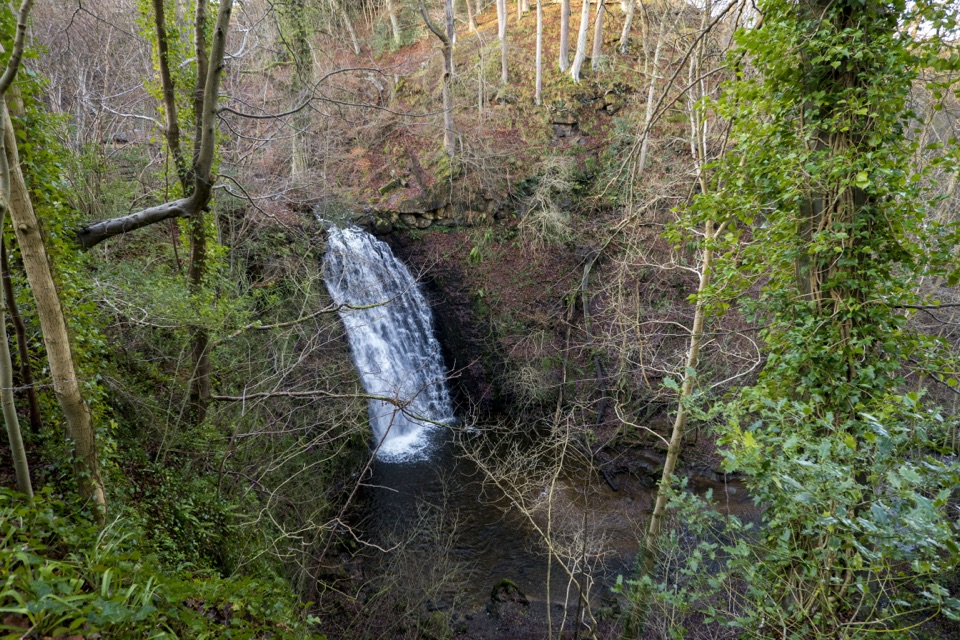 ModerateMay Beck and Falling Foss3.1 km · 1.5 hr · 8.8 km awayShady woodland loop to a waterfall, tea garden and beckside path
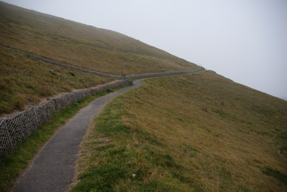 EasyMiles without Stiles (For all) - Whitby3.1 km · 1.1 hr · 12 km awayLevel clifftop path above Whitby Abbey, out and back with sea views
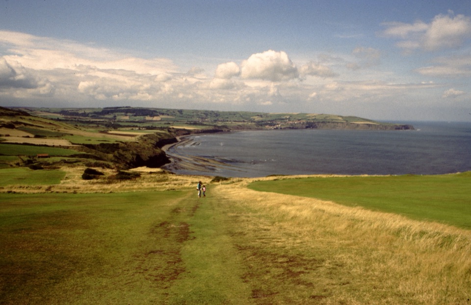 Sight · 0.4 km awayRavenscarThe town that never was, high above Robin Hood's Bay
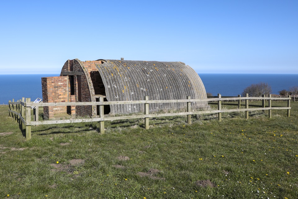 Sight · 1.4 km awayRavenscar Second World War Radar StationWartime radar buildings and hut foundations above a windswept coast
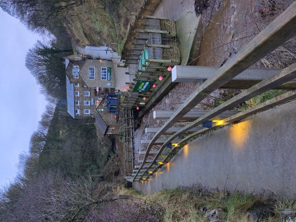 Beach · 3.5 km awayBoggle HoleTide-timed cove of ridged scaurs, rock pools and fossil-flecked shingle
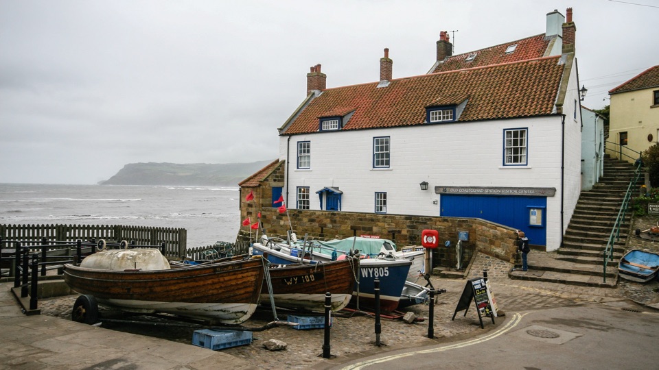 Sight · 4.2 km awayThe Old Coastguard StationSea-edge stone by the slipway, with rock scaurs at low tide
 Sight · 4.6 km awayRobin Hood's Bay and BeachCobbled smugglers' village tumbling to Jurassic rock scaurs and rockpools
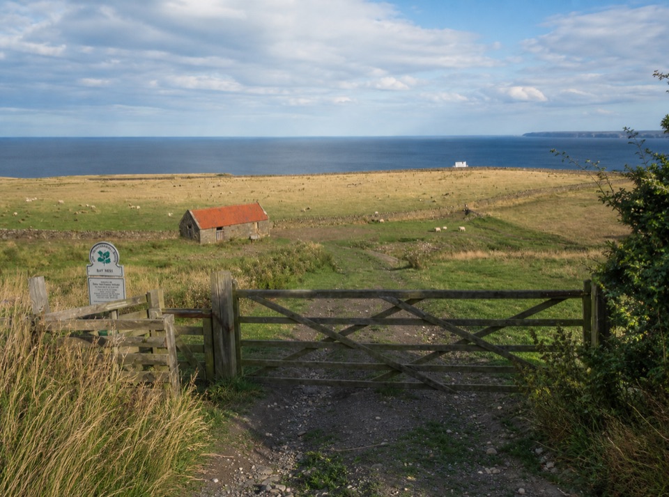 Campground · 5.4 km awayBay Ness Farm CampsiteSea-view farm pitches a short walk above Robin Hood's BaySight · 5.4 km awayHayburn Wyke WaterfallDouble waterfall spills through wind-twisted oaks onto a pebble cove
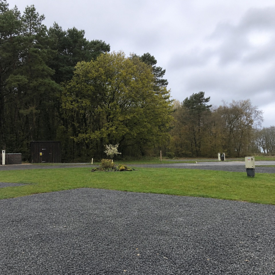 Campground · 9 km awayNorth Yorkshire Moors Club CampsiteQuiet wooded pitches with moorland views and walks from the gate
Parkwolf’s North York Moors ranking

The audio tour guide for the drive, plus offline maps, trails, and wildlife heatmaps for when the signal drops.