Parking
Start at the Rievaulx Abbey visitor parking beside the visitor centre; the loop begins and ends at the Abbey.
North York Moors National Park, EN
Ancient canal line, Bow Bridge and abbey views in one easy hour
Overview
Map & elevation
Plan your hike

The highest, rockiest slopes around here are a summer buffet for grizzly bears.
North York Moors Tour Guide
Parkwolf is a GPS audio tour guide for North York Moors National Park. As you drive, it chimes in with what’s ahead: hidden gems, upcoming stops, history, geology, and wildlife, right through your car’s speakers.
Recorded for this trailhead
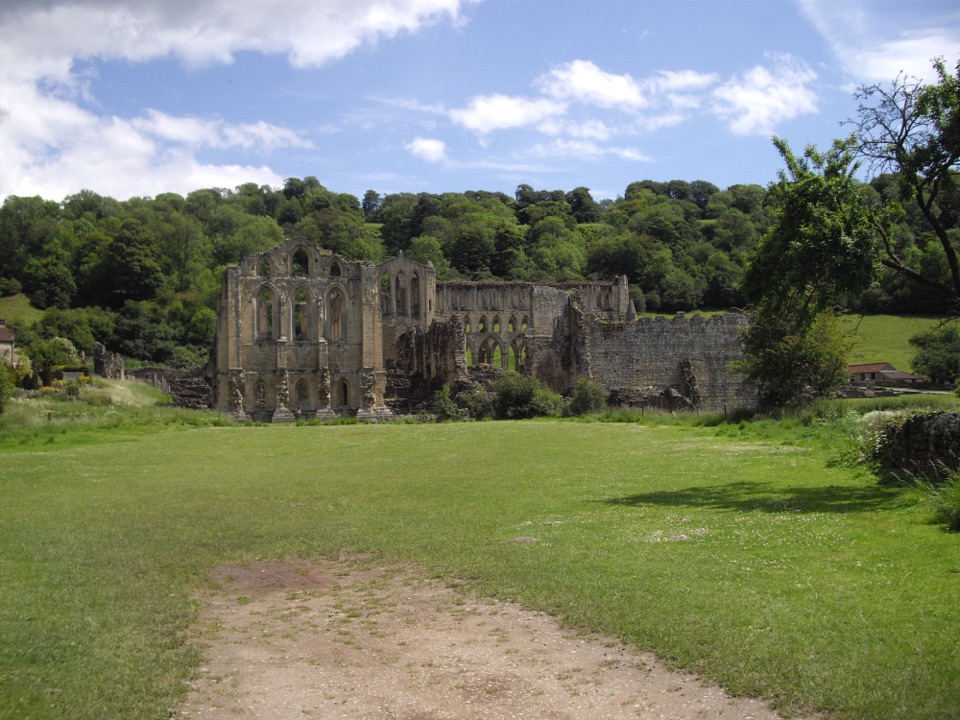
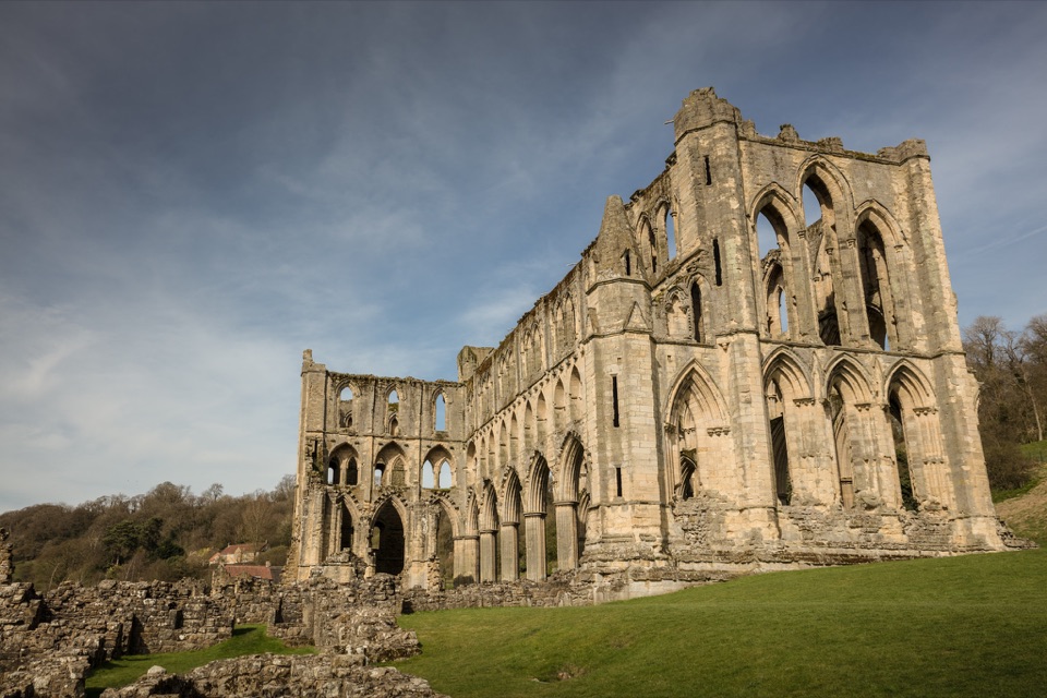
Rievaulx Abbey“You're approaching Rievaulx Abbey, hidden low in the wooded valley of the River Rye. Its scale only becomes clear once you're among the ruins, where the church arcades still stand several storeys high.”
Plays as you drive up to this trailhead in the Parkwolf North York Moors Tour Guide.
More stories near here in the app
“Fantastic app with many points of information… It’s great to just turn on while you’re driving and it gives you an audio tour of the national Park. We love it!!!!”


Trail guide
This is a full circular walk starting and finishing at Rievaulx Abbey, and the 3.7 km (about 2.3 miles) figure is the complete circuit, not an out-and-back half. Most people walk it in around an hour, with roughly 48 m of ascent and 49 m of descent between about 74 m and 123 m. Add time freely, because the stopping points are the whole reason to come.
From the abbey, head northwest through horse fields, following the line of the ancient canal that once diverted water from the River Rye to serve the monks. Hand-gates lead you onto a stoned track over Bow Bridge, a Grade 2 listed crossing worth a pause. Turn southeast through a field gate into rough wooded pasture, then into woodland for a gentle climb. This is where the walk earns its keep: glimpses back across the valley to the abbey ruins, the wooded terraces and the temples above them. The path contours Ashberry Hill to Ashberry Farm, then joins the road east over Grade 2 listed Rievaulx Bridge before turning north through Rievaulx village and back to the abbey.
Easy overall, but not smooth. Surfaces shift between made path, asphalt, dirt road and unimproved woodland trail, with rough pasture in between. Expect several gates to work through, uneven ground in the wooded and pasture sections, and a short stretch of road walking near the end where you share space with traffic. After rain, the field and woodland sections hold water and churn up, so boots beat trainers for most of the year.
Morning or late afternoon works best. Low light picks out the abbey stonework and the terraces above it, and side light gives the valley depth from the climb on Ashberry Hill. Midday sun flattens the view back to the ruins and makes the woodland sections contrasty. If you want flowers, aim for late winter through May; if you want the bats and owls, plan a slow late walk and accept it may not happen.
Wildlife
 15 sightingsEurasian OtterMost seen around 7 PMSighting map
 10 sightingsRed DeerMost seen around 7 AMSighting map
 79 sightingsGrey SealMost seen around noonSighting map
 26 sightingsWestern Barn OwlMost seen around 7 PMSighting map
 33 sightingsEuropean BadgerMost seen around 7 PMSighting map
 10 sightingsMute SwanMost seen around noonSighting map
Sighting maps show where each species has been reported across North York Moors. Wildlife moves, so no sighting is guaranteed.
Keep exploring
EasyMiles without Stiles (For some) - Rievaulx Loop4 km · 1.1 hr · At the trailheadAbbey views, bridges and bluebell woods on a short, hilly 2.5-mile loop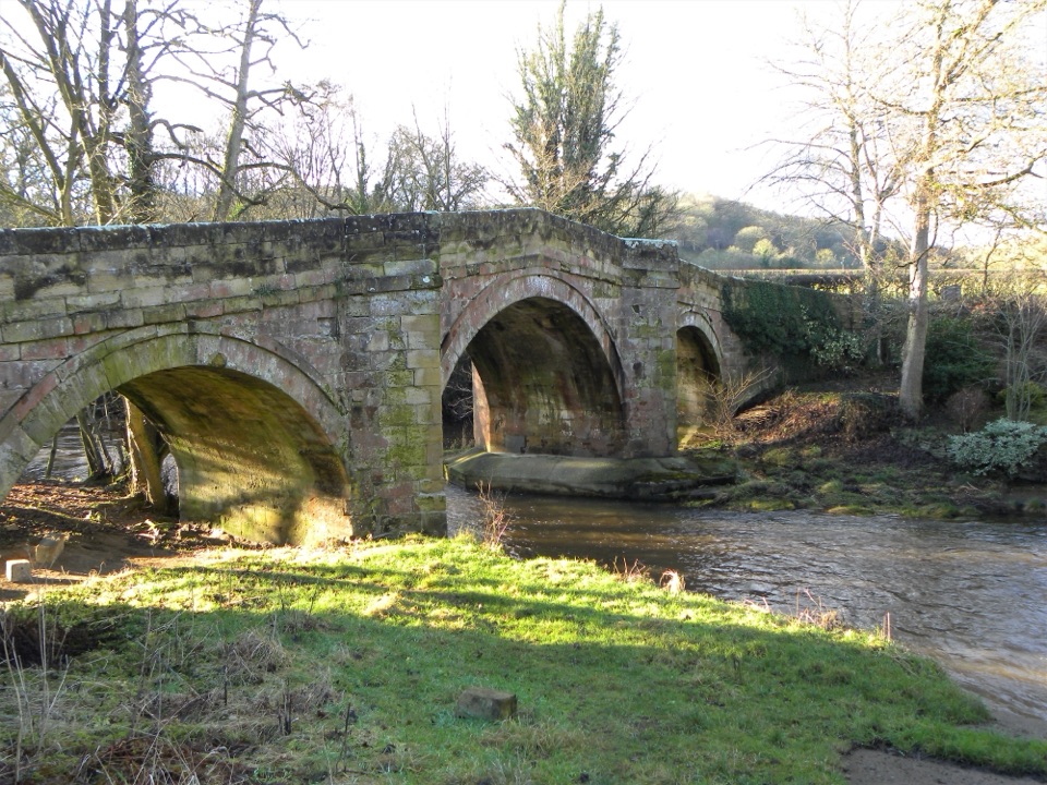 EasyRiver Folk Audio Trail3.7 km · 1 hr · At the trailheadShort river valley loop with downloadable audio stories by Rievaulx Abbey
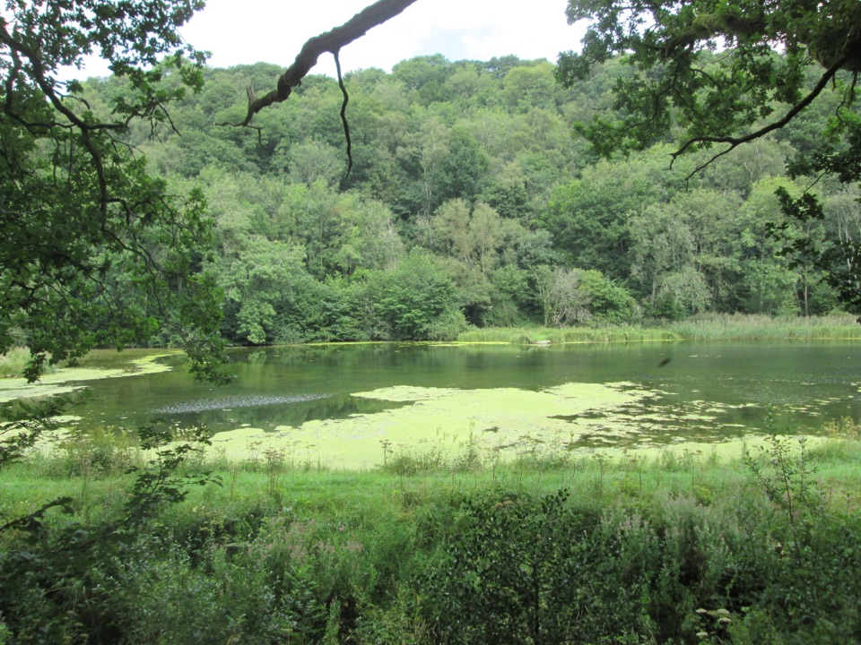 EasyMiles without Stiles (For many) - Nettledale1.6 km · 45 min · 1.3 km awayA gentle woodland track to ponds and a Cleveland Way stream crossing
 ChallengingCleveland Way National Trail175.4 km · 2.3 days · 3.7 km awayNine days from abbey ruins over heather moors to North Sea cliffs
 ModerateHelmsley and Rievaulx Abbey11.3 km · 4 hr · 3.7 km awayAbbey ruins, a terrace panorama and bluebell woods on a 7-mile circuit
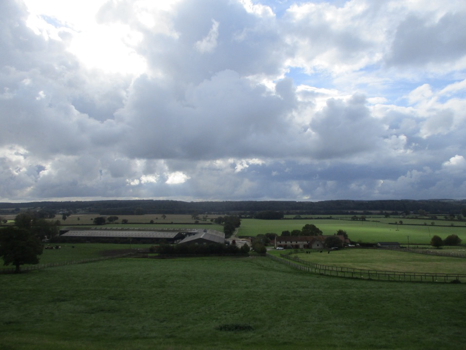 ModerateEbor Way122.9 km · 1.5 days · 3.7 km awayHelmsley to Ilkley on foot: farmland, York's walls, then gritstone moor
 ChallengingSaint Aelred’s Pilgrim Trail66 km · 22 hr · 3.9 km awayNine-stage, 41-mile circuit linking Ryedale churches with Rievaulx Abbey
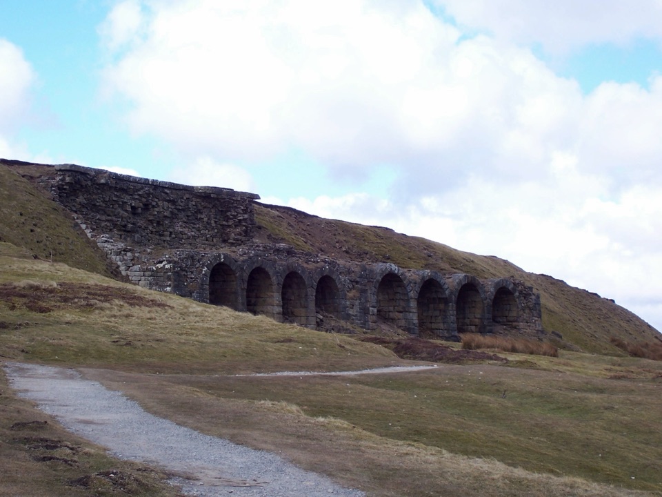 ChallengingThe Inn Way to the North York Moors143.2 km · 2 days · 4 km awaySix days of moorland ridges, hidden dales and village inns.Sight · 0.1 km awayRievaulx AbbeyTall Cistercian church arches in a quiet wooded river valley
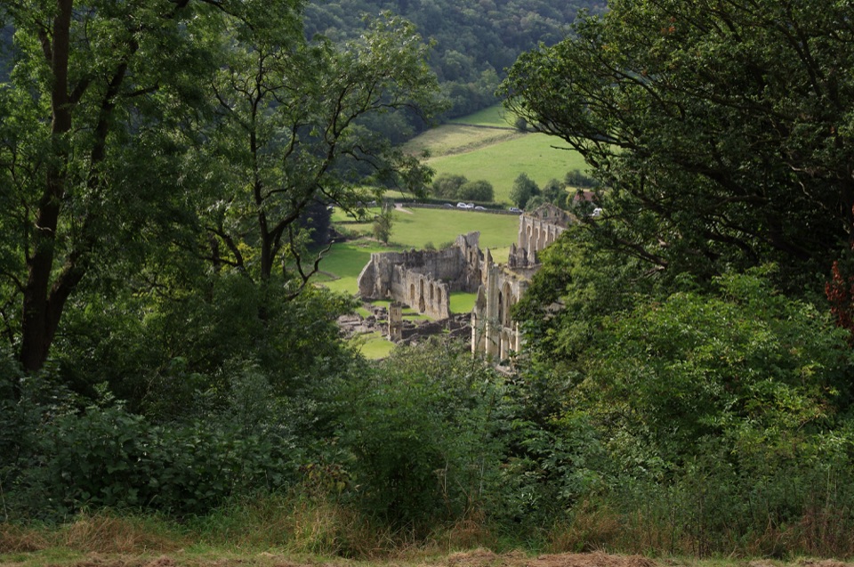 Sight · 0.5 km awayRievaulx TerraceGrassy Georgian terrace with two temples and framed abbey views
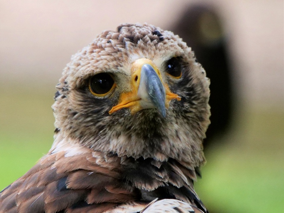 Sight · 3.3 km awayNational Centre for Birds of PreyEagles, owls and vultures flying free in ancient Duncombe woodland
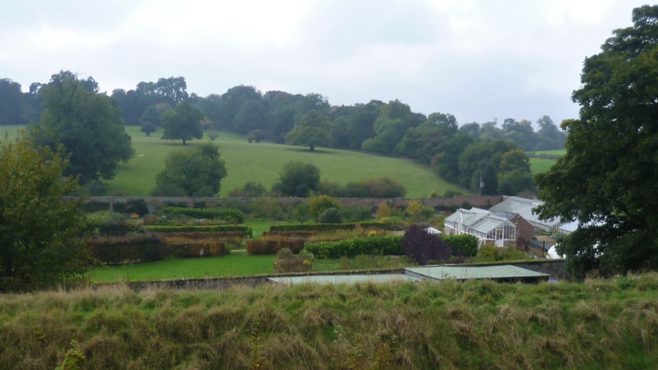 Sight · 3.7 km awayHelmsley Walled GardenFive walled acres of borders, glasshouses and orchards below the castle
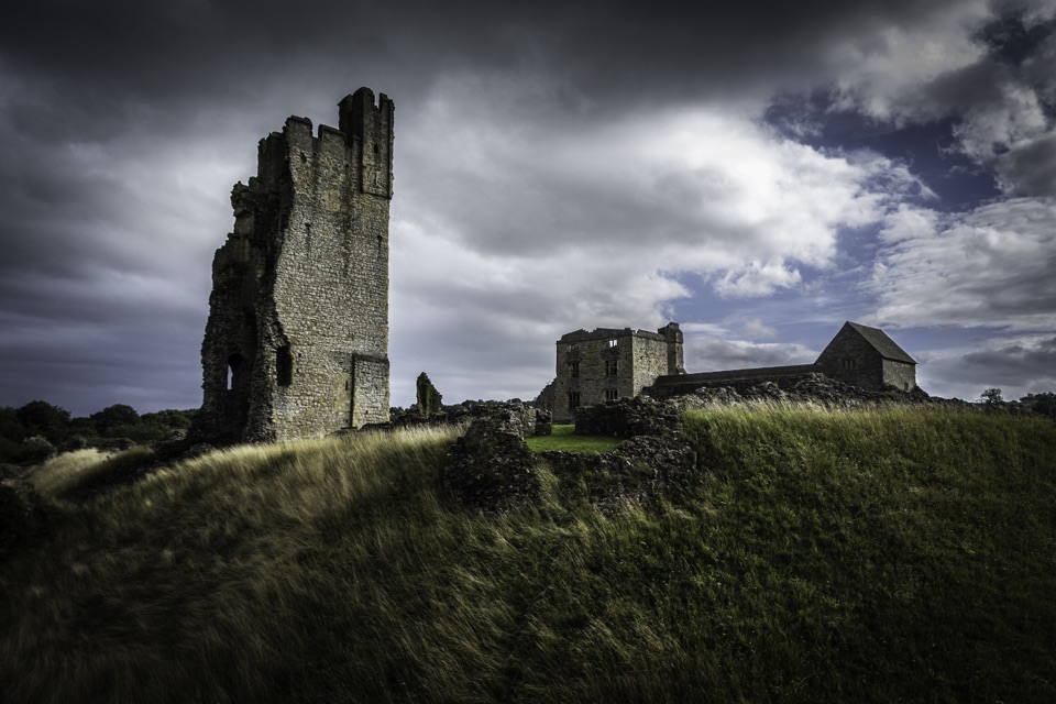 Sight · 3.8 km awayHelmsley CastleNine centuries of siege and splendour in a towering, ditch-ringed ruin
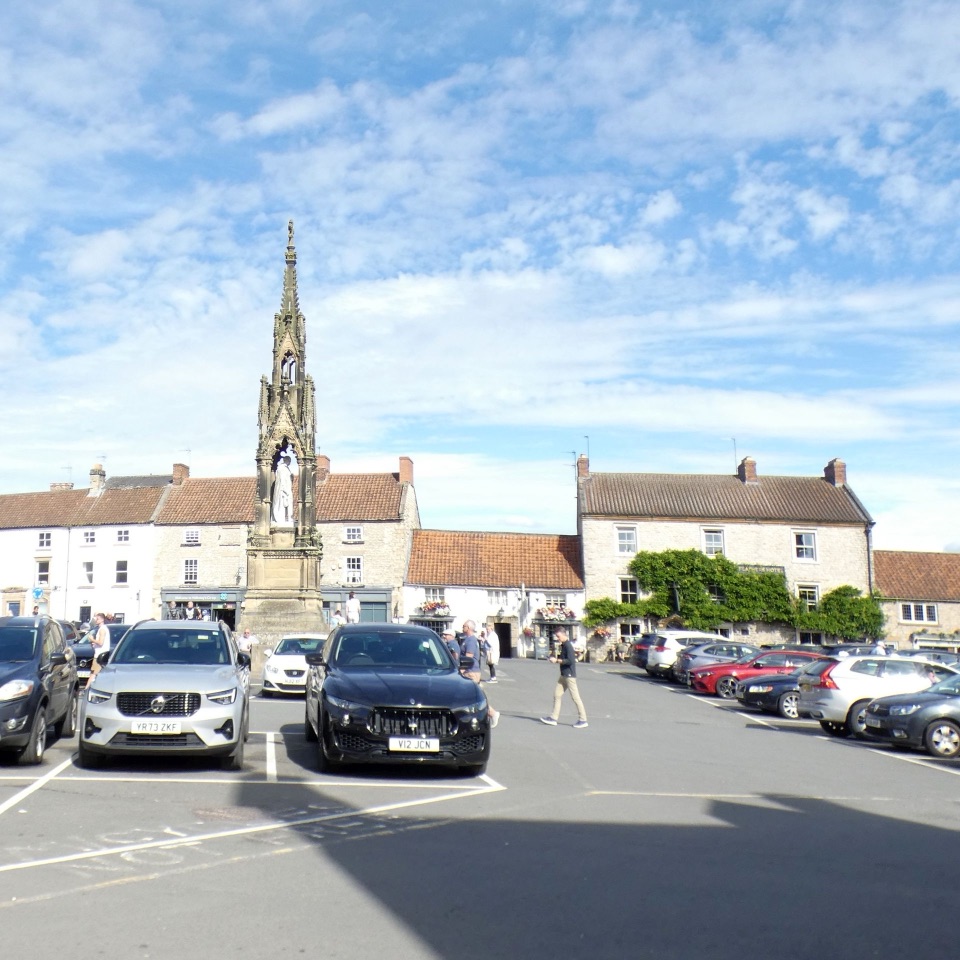 Sight · 4 km awayHelmsleyThe moors' only market town, and the Cleveland Way's first mile
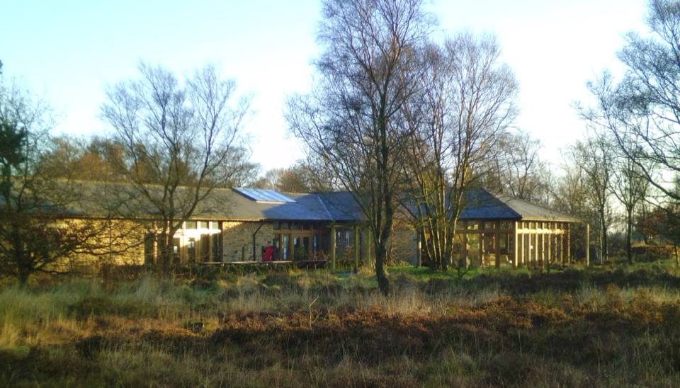 Visitor center · 6.2 km awaySutton Bank National Park CentreEscarpment-edge hub with huge views, easy trails and family bike routes
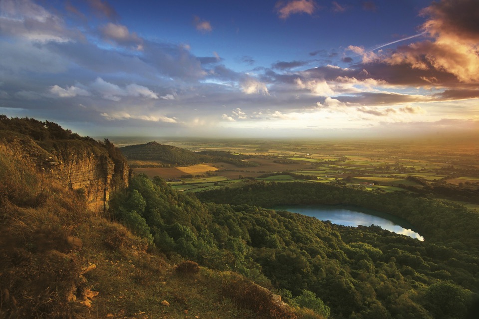 Sight · 6.5 km awaySutton Bank ViewpointCliff-edge panorama over the Vale of York, Gormire Lake below
Parkwolf’s North York Moors ranking

The audio tour guide for the drive, plus offline maps, trails, and wildlife heatmaps for when the signal drops.




