Parking
Start at the Lyke Wake marker stone beside Cod Beck Reservoir via Quarry Lane near Osmotherley. Arrange a lift or support plan for the Ravenscar finish.

#6 of 126 trails in North York Moors
North York Moors National Park, EN
A brutal 40-mile moorland crossing from Osmotherley to Ravenscar
Overview
Map & elevation
Plan your hike

The highest, rockiest slopes around here are a summer buffet for grizzly bears.
North York Moors Tour Guide
Parkwolf is a GPS audio tour guide for North York Moors National Park. As you drive, it chimes in with what’s ahead: hidden gems, upcoming stops, history, geology, and wildlife, right through your car’s speakers.
Recorded for this trailhead
Cod Beck Reservoir and Sheep Wash“You're approaching the Sheep Wash access for Cod Beck Reservoir, a quiet lake edged by pines and open moor.”
Plays as you drive up to this trailhead in the Parkwolf North York Moors Tour Guide.
More stories near here in the app
“Fantastic app with many points of information… It’s great to just turn on while you’re driving and it gives you an audio tour of the national Park. We love it!!!!”


Trail guide
The Lyke Wake Walk is a linear, point-to-point crossing of the North York Moors, walked west to east from the Lyke Wake marker stone at Cod Beck Reservoir near Osmotherley to the Lyke Wake Stone at Ravenscar. Call it 40 miles (64 km) in total, with roughly 1,434 m of cumulative ascent. The tradition is to finish inside 24 hours; a realistic ordinary time, stops included, is about 16 to 20 hours. This is a route for highly fit, experienced long-distance hikers, and the national park itself describes it as notorious and worth serious preparation and support.
Going east from Osmotherley means you hit the steeper Cleveland Hills while you are still fresh, then settle into long stretches of high moorland. The middle miles are open heather and historic tracks with broad high-point views down into the valleys, and the eastern moors run you out toward the coast at Ravenscar. Sampled ground along the stored corridor sits roughly between 200 and 450 m, so you are up in the exposed stuff for hours at a time. The scenery and the coastal finish are the whole reward.
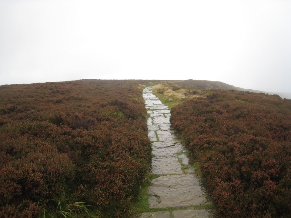
Underfoot it keeps changing: firm path, flagstone and gravel sections, open moorland track, rough ground, and genuine bog.
There are few dedicated signs across the crossing as a whole, so treat this as a self-navigated route. Carry offline mapping and a paper map, know how to use a compass in poor visibility, and have a bail-out plan before you start rather than improvising one at 3am on the moor.
Because it is linear, sort the far end first. A support vehicle, a pre-arranged lift, or accommodation at Ravenscar all work; nothing else really does. The western start is reached via Quarry Lane near Osmotherley at the Cod Beck Reservoir marker stone, and the route guide notes free car parks at the start. Long summer daylight makes a single-push attempt far more sensible than trying it around the short days, when most of the crossing would be done in the dark.
The route uses public rights of way and crosses moorland open access land. Under current park guidance dogs are not allowed on most moorland open access land and must stay on public rights of way there, so bring a dog only if you are prepared to keep to those legal lines. On moorland, keep dogs on a lead under 2 m from 1 March to 31 July, and keep firm control around livestock and nesting birds.
It is long, exposed, wet in the middle, thin on signage, and the logistics are more work than the walk for some people. If you want the same moorland character with clearer waymarking and the option of shorter days, the Cleveland Way nearby is the easier proposition, though it is a different route with a different line.
Wildlife
 15 sightingsEurasian OtterMost seen around 7 PMSighting map
 10 sightingsRed DeerMost seen around 7 AMSighting map
 79 sightingsGrey SealMost seen around noonSighting map
 26 sightingsWestern Barn OwlMost seen around 7 PMSighting map
 33 sightingsEuropean BadgerMost seen around 7 PMSighting map
 10 sightingsMute SwanMost seen around noonSighting map
Sighting maps show where each species has been reported across North York Moors. Wildlife moves, so no sighting is guaranteed.
Keep exploring
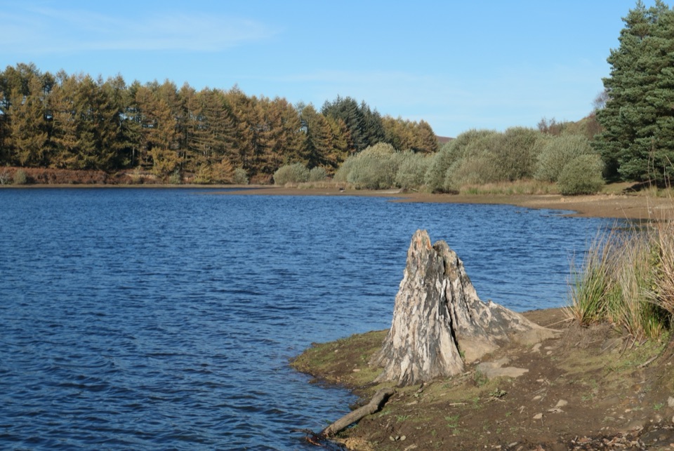 EasyCod Beck Reservoir Circular2.4 km · 1 hr · At the trailheadWide, level shoreline loop with an embankment crossing and woodland bridge
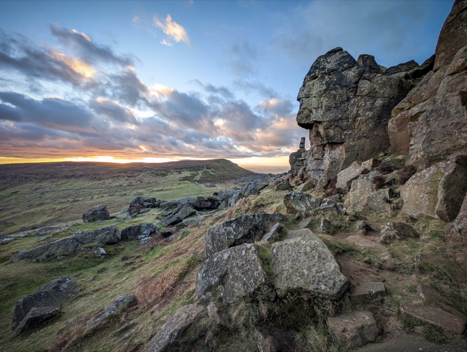 ChallengingCoast to Coast: Ingleby Cross to Clay Bank Top19 km · 7 hr · 2.3 km awayBig moorland climbs to the Wainstones on the Cleveland escarpment
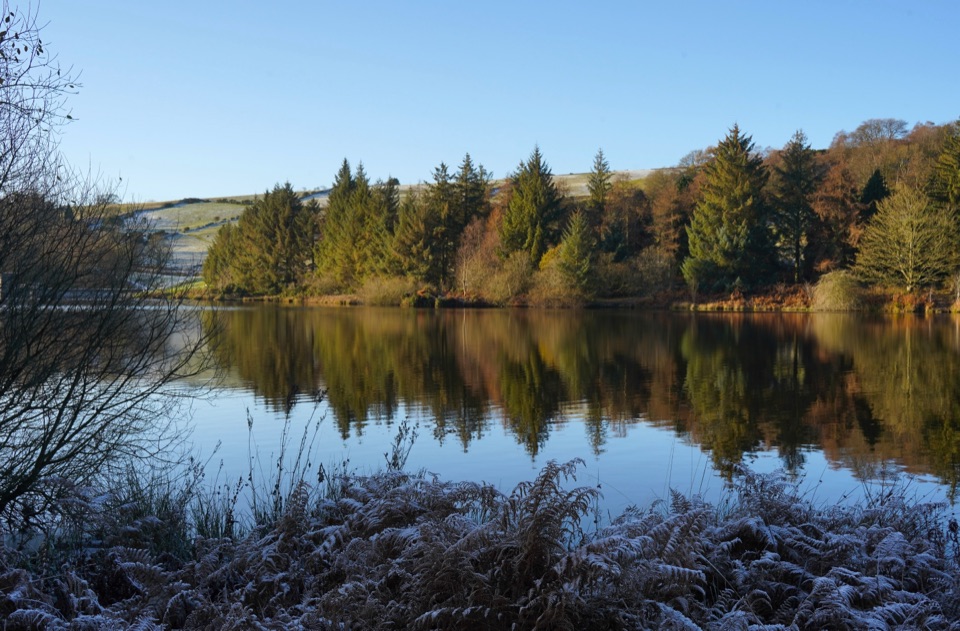 ModerateOsmotherley and Cod Beck8.2 km · 2.5 hr · 2.3 km awayMoorland climb, radio mast views, reservoir woods, then Cleveland Way home
 ModerateOsmotherley and Mount Grace5.2 km · 3 hr · 2.3 km awayRuined priory, hillside chapel and a steep wooded climb back
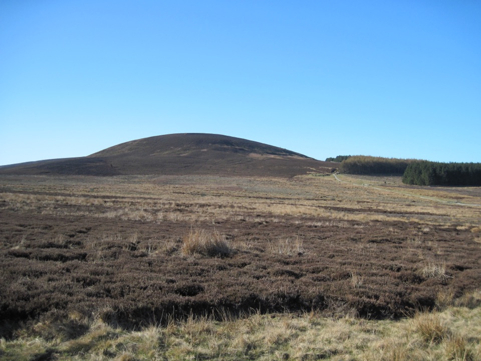 ModerateBlack Hambleton Walk12.9 km · 3.8 hr · 3.6 km awayQuiet moorland loop to the Hambleton Hills' highest point, wide vale views
 EasyLord Stones Walk4.4 km · 1.4 hr · 6.8 km awaySteep pitched climb to a stone seat above the wide Cleveland plain
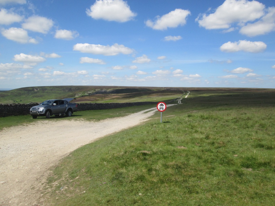 EasyMiles without Stiles (For many) - Hambleton Drove Road2 km · 45 min · 8.1 km awayAncient drovers' road to a wide Thorodale viewpoint, gentle and short
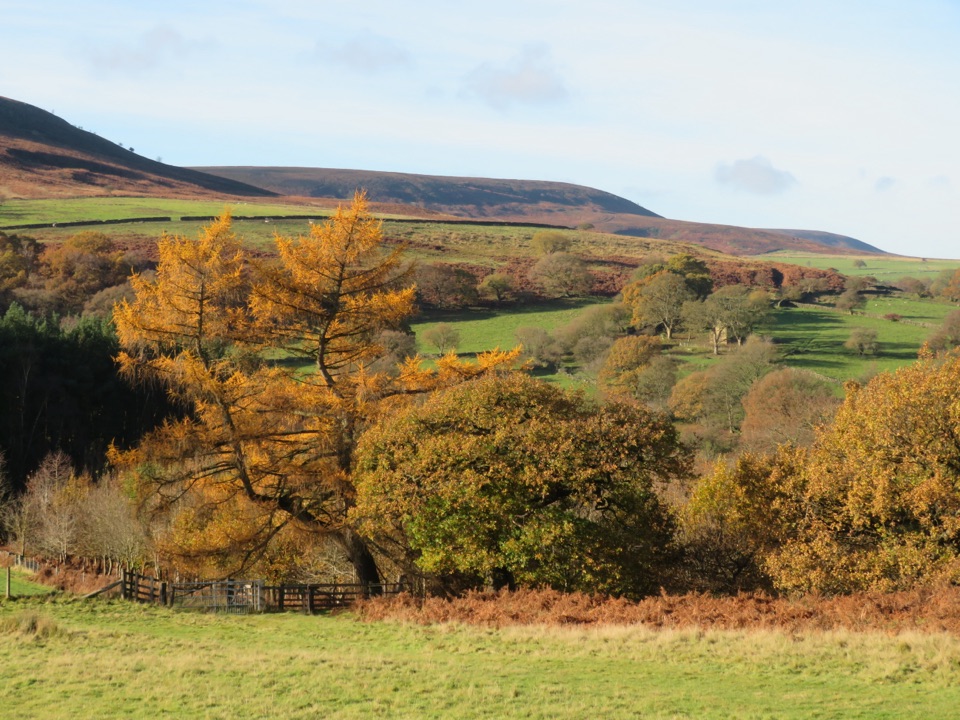 EasyHawnby Circular4.3 km · 1 hr · 8.9 km awayA hilly mix of woodland, river crossings and open moorland.
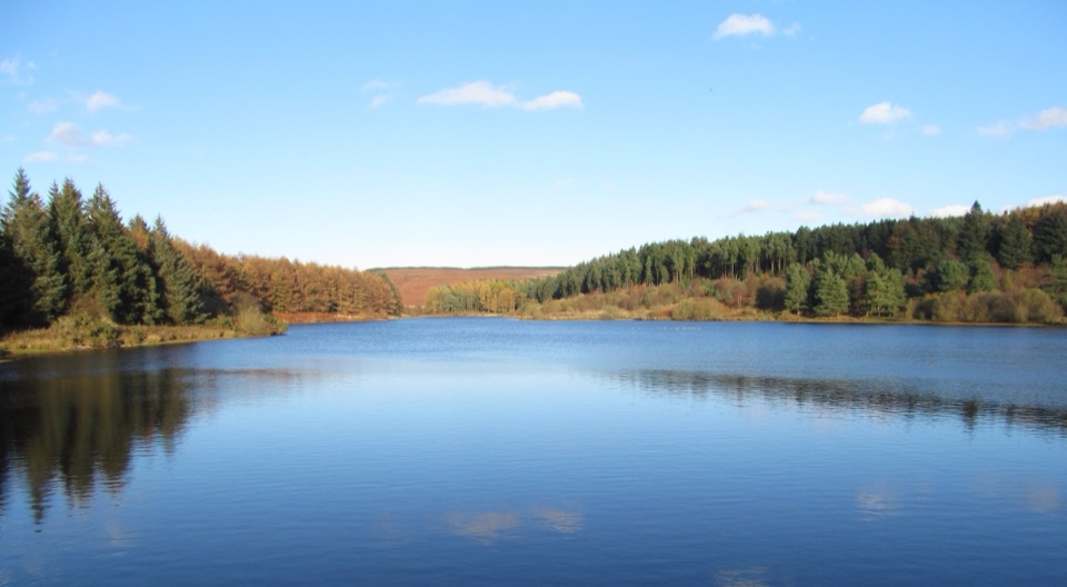 Sight · 0.5 km awayCod Beck ReservoirQuiet moor-edge reservoir with an easy, mostly flat 1.5-mile loop
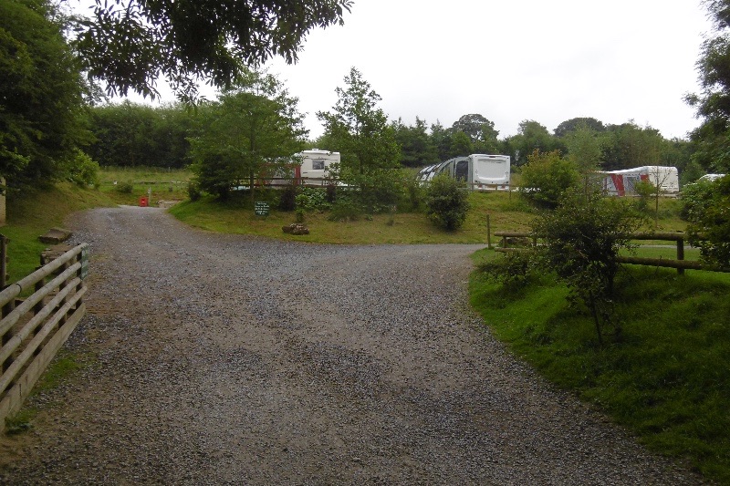 Campground · 1.5 km awayCote Ghyll Caravan Park and CampsiteTerraced pitches in a wooded stream valley, minutes from Osmotherley
 Sight · 2 km awayMount Grace Priory, House and GardensRebuilt monk's cell, ruined Carthusian cloister, 13 acres of gardens
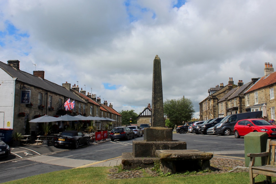 Sight · 2.3 km awayOsmotherleyStone-built walking village with a green, cross and drovers' history
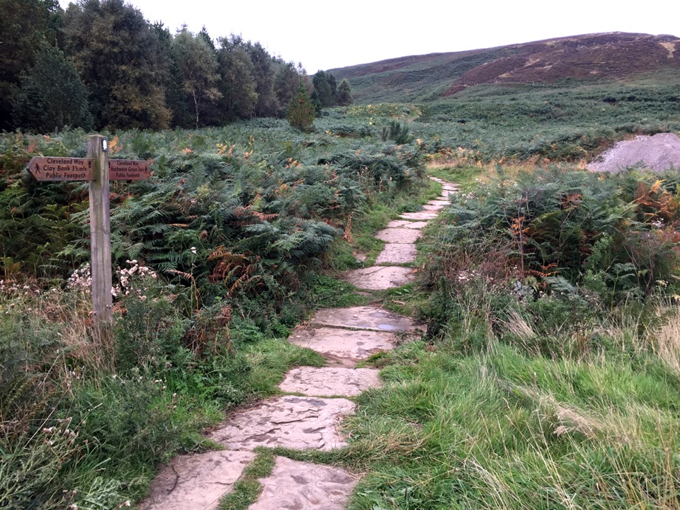 Sight · 6.8 km awayLord Stones Country ParkMoorland trailhead with cafe, camping and wide views across the plain
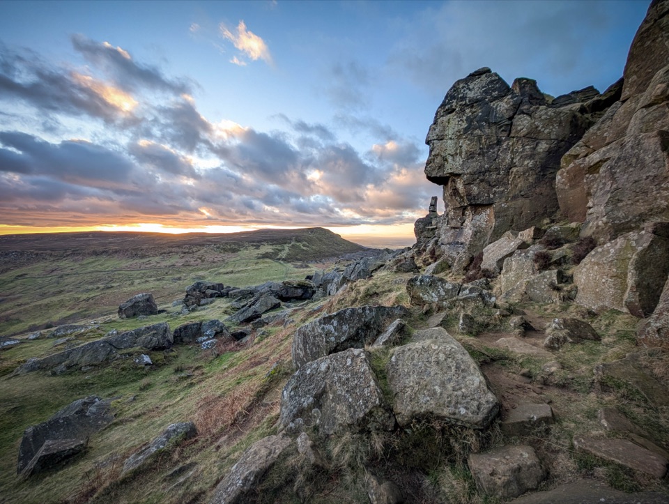 Sight · 10 km awayThe WainstonesSandstone pillars up a sharp climb from Clay Bank car park
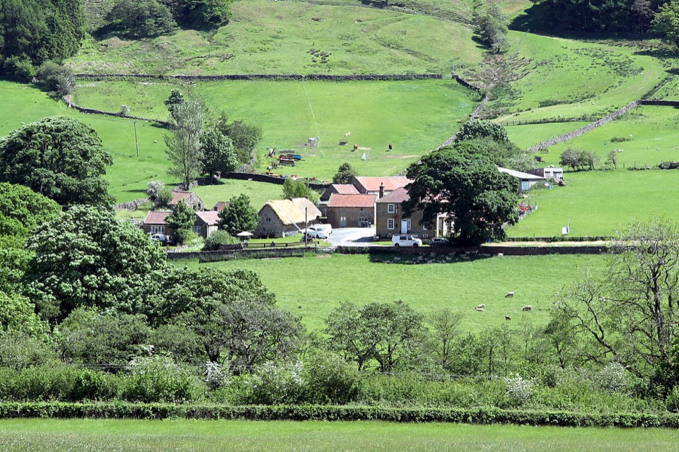 Sight · 12.1 km awaySpout House, BilsdaleThatched cruck-framed longhouse that served ale for two centuries
Parkwolf’s North York Moors ranking
 Cleveland Way National TrailChallenging · 175.4 km
 Coast to Coast Path National TrailChallenging · 305.8 km
 Roseberry Topping and Cook’s MonumentModerate · 11.6 km
 Levisham Moor & Hole of HorcumModerate · 8.4 km
 Ravenscar to Robin Hood's BayChallenging · 17.7 km
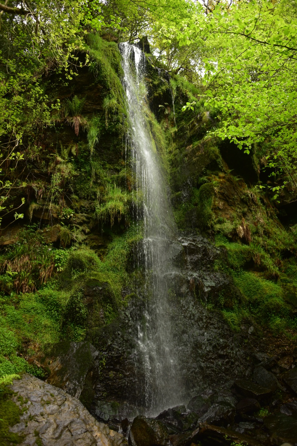 Mallyan Spout and Beck HoleEasy · 4.3 km
The audio tour guide for the drive, plus offline maps, trails, and wildlife heatmaps for when the signal drops.