Parking
Start and finish at Helmsley Market Place. Long-stay parking is limited, so public transport or an overnight arrangement with your accommodation is the sensible plan.
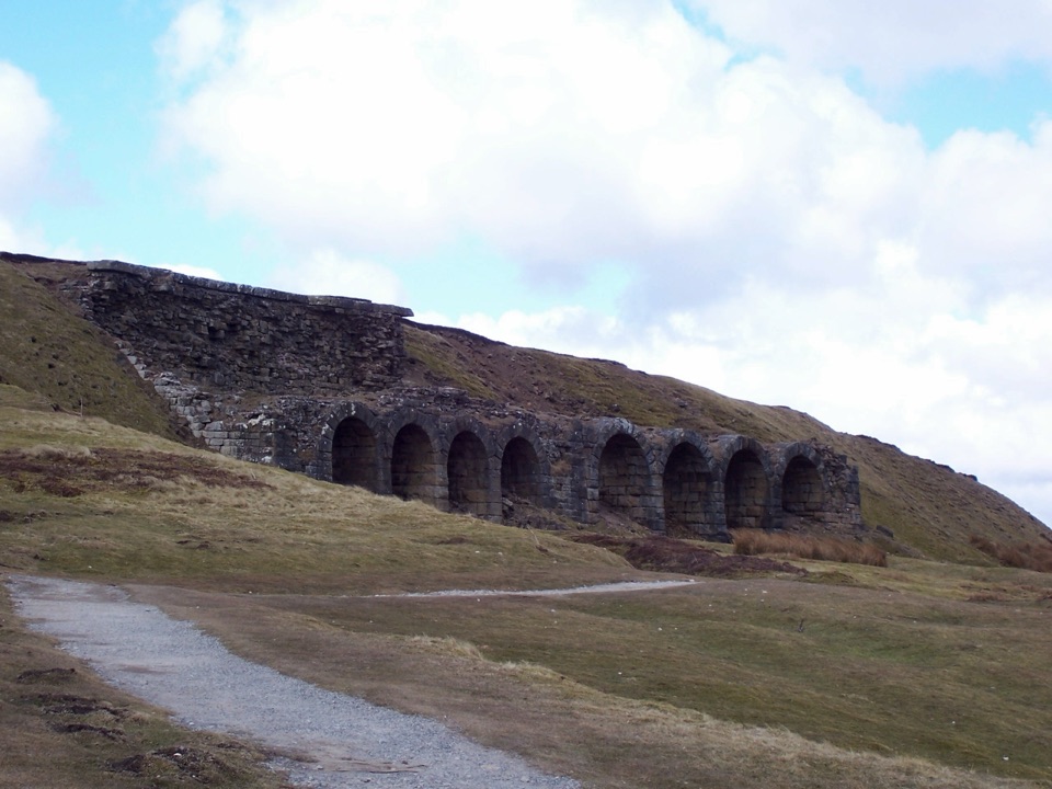
North York Moors National Park, EN
Six days of moorland ridges, hidden dales and village inns.
Overview
A closed circular loop that begins and ends at Helmsley Market Place, covering the conventional published total of 89 miles (142 km) across the North York Moors. Six walking days is the standard plan, linking moorland ridges, wooded valleys and a string of villages with inns and pubs along the way.
Map & elevation
Plan your hike

The highest, rockiest slopes around here are a summer buffet for grizzly bears.
North York Moors Tour Guide
Parkwolf is a GPS audio tour guide for North York Moors National Park. As you drive, it chimes in with what’s ahead: hidden gems, upcoming stops, history, geology, and wildlife, right through your car’s speakers.
Recorded for this trailhead
Helmsley Castle and Town“Helmsley's market square is coming up, with the castle a short walk away. Inside those medieval defences, look for the surviving timber panelling and plasterwork: part of the fortress became an Elizabethan mansion.”
Plays as you drive up to this trailhead in the Parkwolf North York Moors Tour Guide.
More stories near here in the app
“Fantastic app with many points of information… It’s great to just turn on while you’re driving and it gives you an audio tour of the national Park. We love it!!!!”


Trail guide
Field paths, forest tracks, green lanes, quiet country lanes, heather moorland and old trods. Expect rough or boggy ground, steep climbs and descents, exposed ridges and long remote stretches as the route crosses the Rosedale and Esk valleys and several moorland watersheds. Difficulty is rated 8 out of 10, so a good level of hill fitness and navigation confidence is needed.
Long-stay parking in Helmsley is limited, so arrive by public transport or arrange overnight parking with your accommodation. Book beds and evening meals ahead, since villages are small and spaced a full day apart. Shops are scarce outside the larger settlements, so plan resupply and carry food and water for each stage. Take a current map or GPS track: fog can settle quickly on the tops and the moorland ridges offer few landmarks.
Kirkdale Minster and the church and crypt at Lastingham, the industrial remains and railway lines of Rosedale, glacial meltwater channels near Levisham, and a succession of dales, ridges and stone-built villages. The route's inns are part of its character and shape the daily rhythm of the walk.
Dogs may use public rights of way, but livestock is common throughout. Keep dogs under close control, stay on rights of way when crossing moorland, and use a lead no longer than 2 metres from 1 March to 31 July to protect ground-nesting birds. Carry warm and waterproof layers year round, and be ready to shorten or reroute a stage if visibility drops.
Wildlife
 15 sightingsEurasian OtterMost seen around 7 PMSighting map
 10 sightingsRed DeerMost seen around 7 AMSighting map
 79 sightingsGrey SealMost seen around noonSighting map
 26 sightingsWestern Barn OwlMost seen around 7 PMSighting map
 33 sightingsEuropean BadgerMost seen around 7 PMSighting map
 10 sightingsMute SwanMost seen around noonSighting map
Sighting maps show where each species has been reported across North York Moors. Wildlife moves, so no sighting is guaranteed.
Keep exploring
 ChallengingSaint Aelred’s Pilgrim Trail66 km · 22 hr · 0.1 km awayNine-stage, 41-mile circuit linking Ryedale churches with Rievaulx Abbey
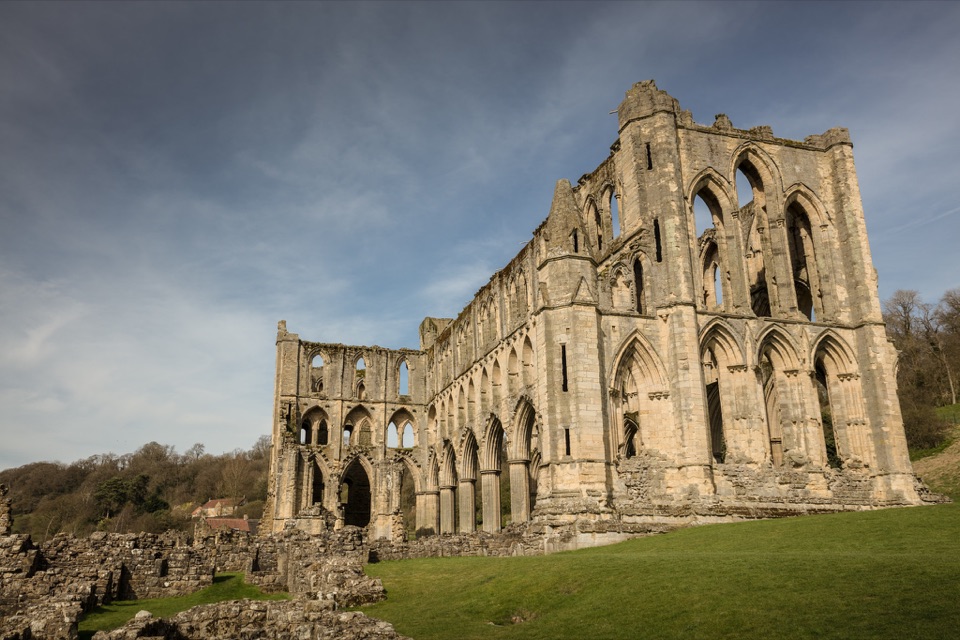 ModerateHelmsley and Rievaulx Abbey11.3 km · 4 hr · 0.2 km awayAbbey ruins, a terrace panorama and bluebell woods on a 7-mile circuit
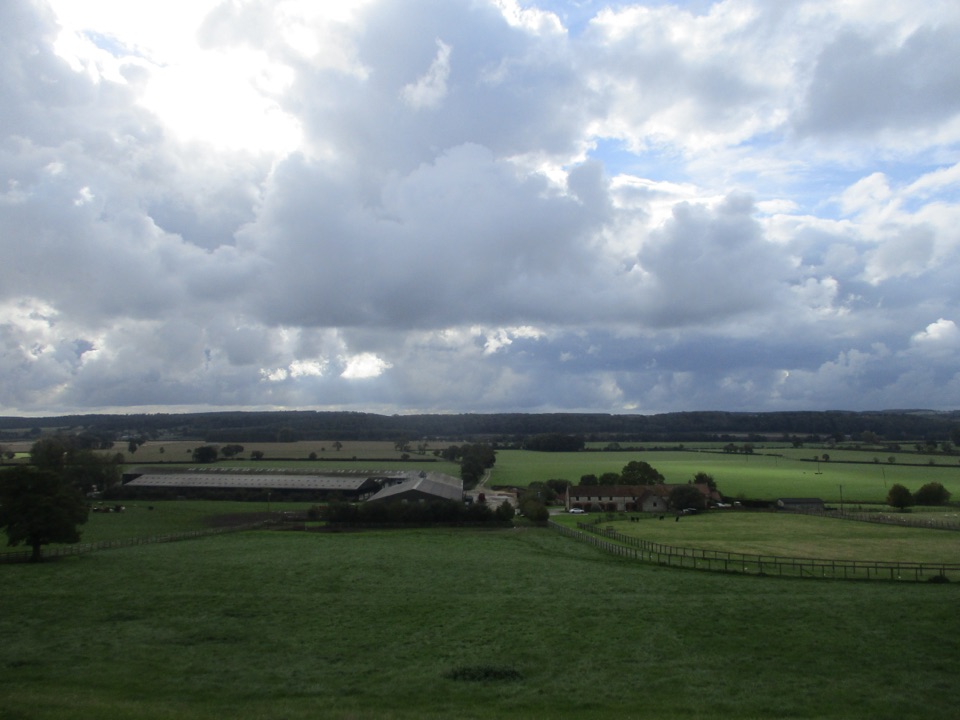 ModerateEbor Way122.9 km · 1.5 days · 0.2 km awayHelmsley to Ilkley on foot: farmland, York's walls, then gritstone moor
 ChallengingCleveland Way National Trail175.4 km · 2.3 days · 0.3 km awayNine days from abbey ruins over heather moors to North Sea cliffs
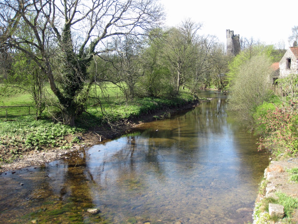 EasyHelmsley Circular Route5.8 km · 1.4 hr · 0.3 km awayEasy river loop along both banks of the Rye, through beech woodland
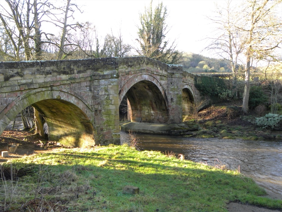 EasyRiver Folk Audio Trail3.7 km · 1 hr · 3.9 km awayShort river valley loop with downloadable audio stories by Rievaulx Abbey
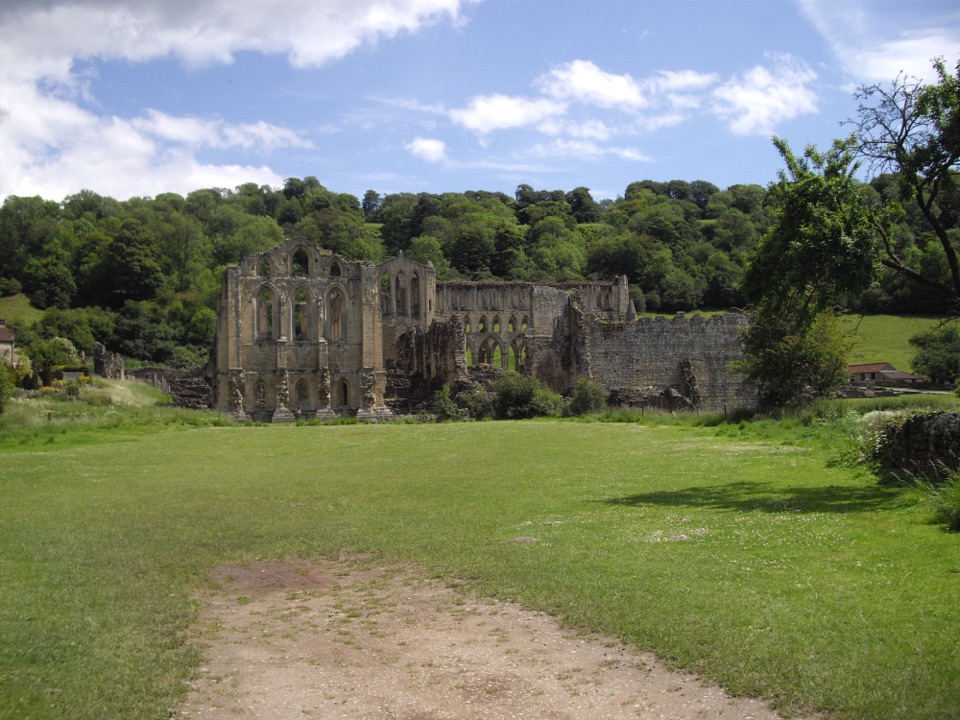 EasyRievaulx Loop3.7 km · 1 hr · 4 km awayAncient canal line, Bow Bridge and abbey views in one easy hourEasyMiles without Stiles (For some) - Rievaulx Loop4 km · 1.1 hr · 4 km awayAbbey views, bridges and bluebell woods on a short, hilly 2.5-mile loop
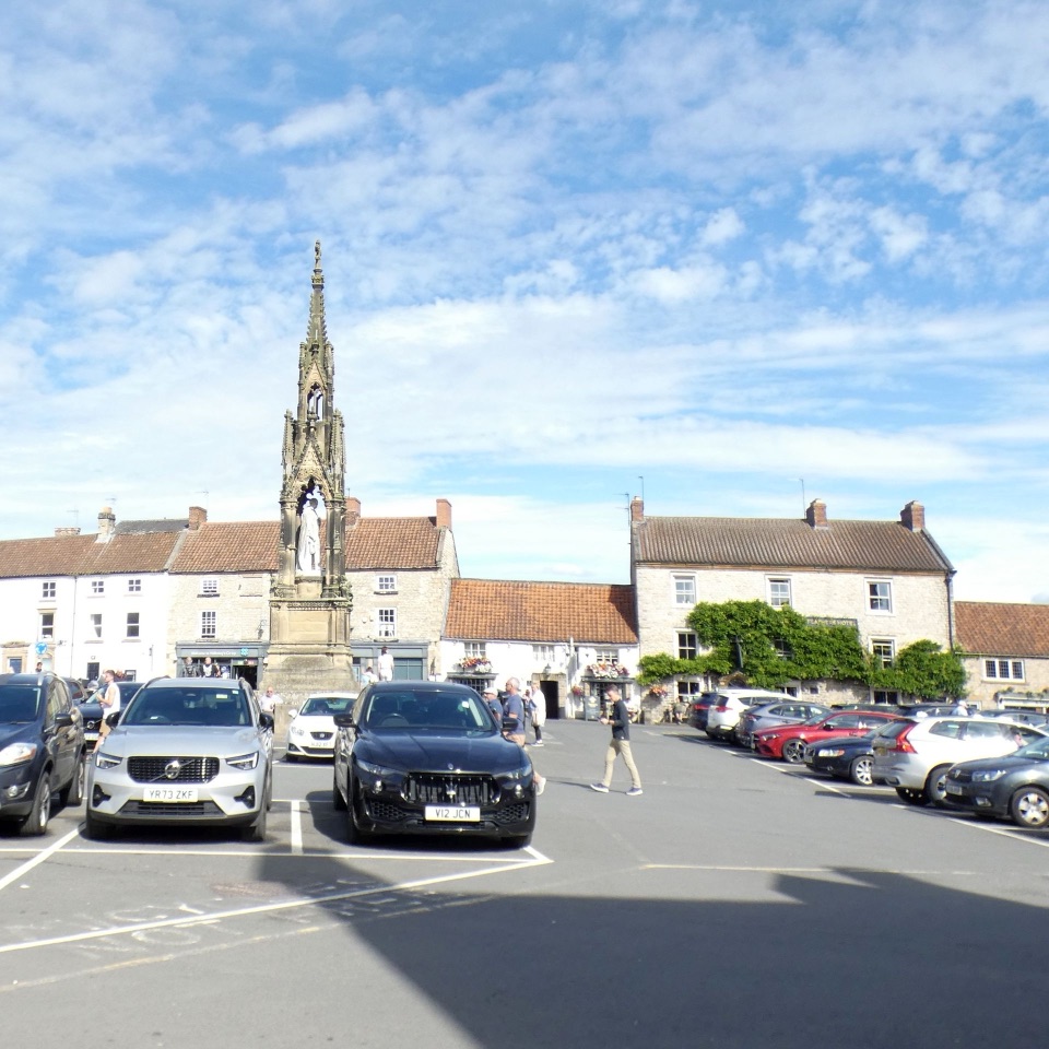 Sight · At the trailheadHelmsleyThe moors' only market town, and the Cleveland Way's first mile
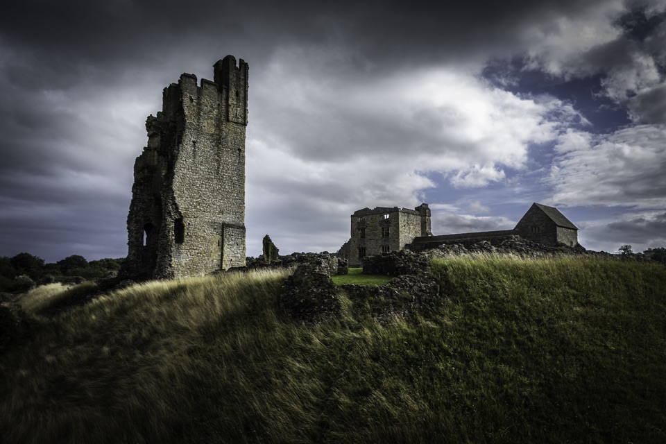 Sight · 0.2 km awayHelmsley CastleNine centuries of siege and splendour in a towering, ditch-ringed ruin
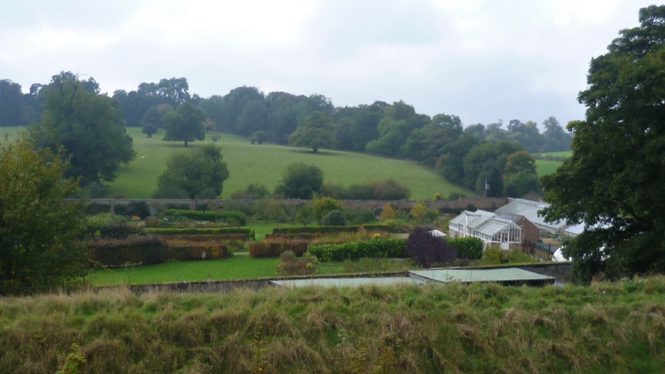 Sight · 0.4 km awayHelmsley Walled GardenFive walled acres of borders, glasshouses and orchards below the castle
 Sight · 1.1 km awayNational Centre for Birds of PreyEagles, owls and vultures flying free in ancient Duncombe woodland
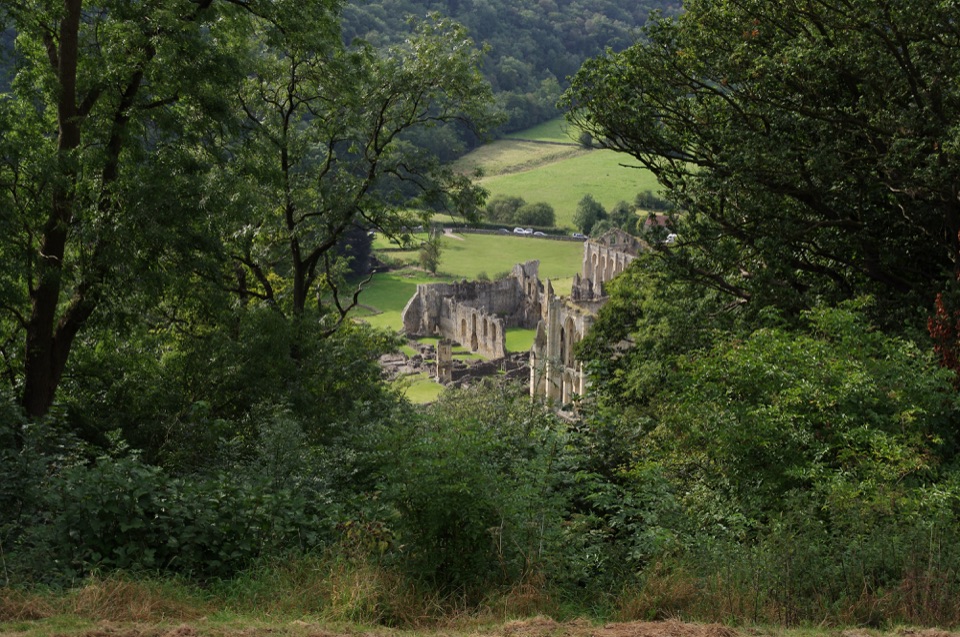 Sight · 3.5 km awayRievaulx TerraceGrassy Georgian terrace with two temples and framed abbey viewsSight · 3.8 km awayRievaulx AbbeyTall Cistercian church arches in a quiet wooded river valley
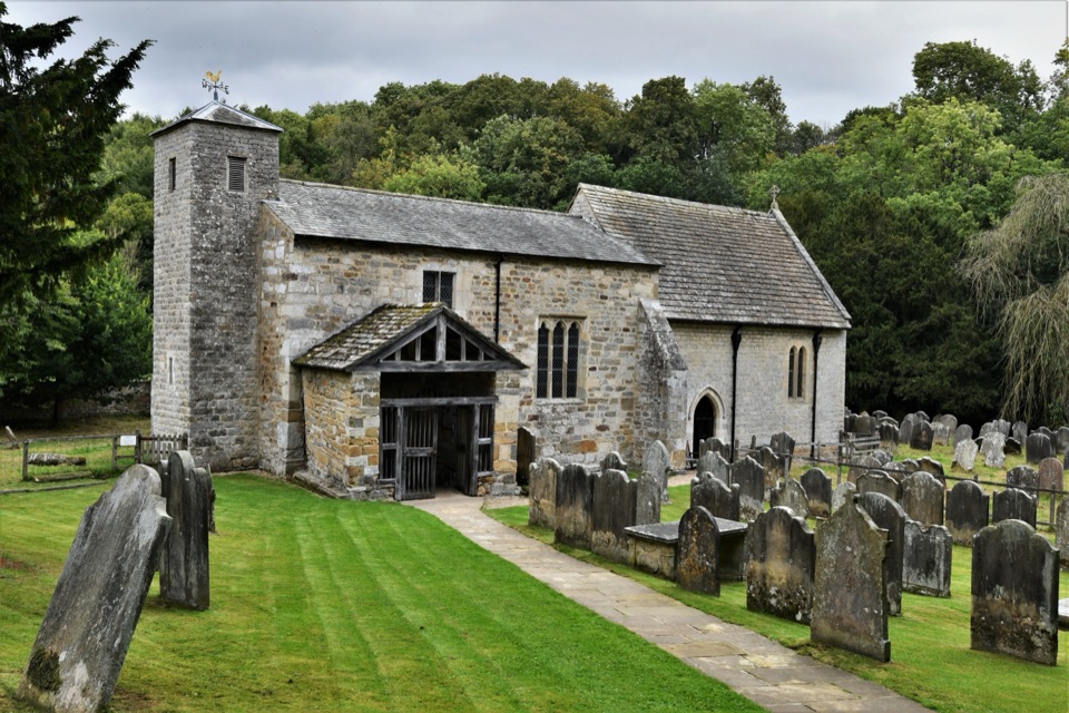 Sight · 6.7 km awaySt Gregory's Minster, KirkdaleAnglo-Saxon sundial and inscription above a quiet valley church door
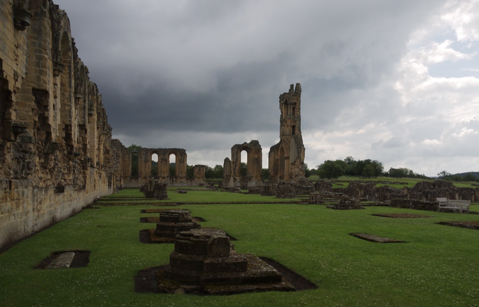 Sight · 8 km awayByland AbbeyByland Abbey: vast early Gothic ruins under a shattered rose window
Parkwolf’s North York Moors ranking

The audio tour guide for the drive, plus offline maps, trails, and wildlife heatmaps for when the signal drops.




