Parking
Start beside the old Methodist chapel in Harome. Free on-street parking is reported near the start, but spaces are limited; keep village lanes and entrances clear.
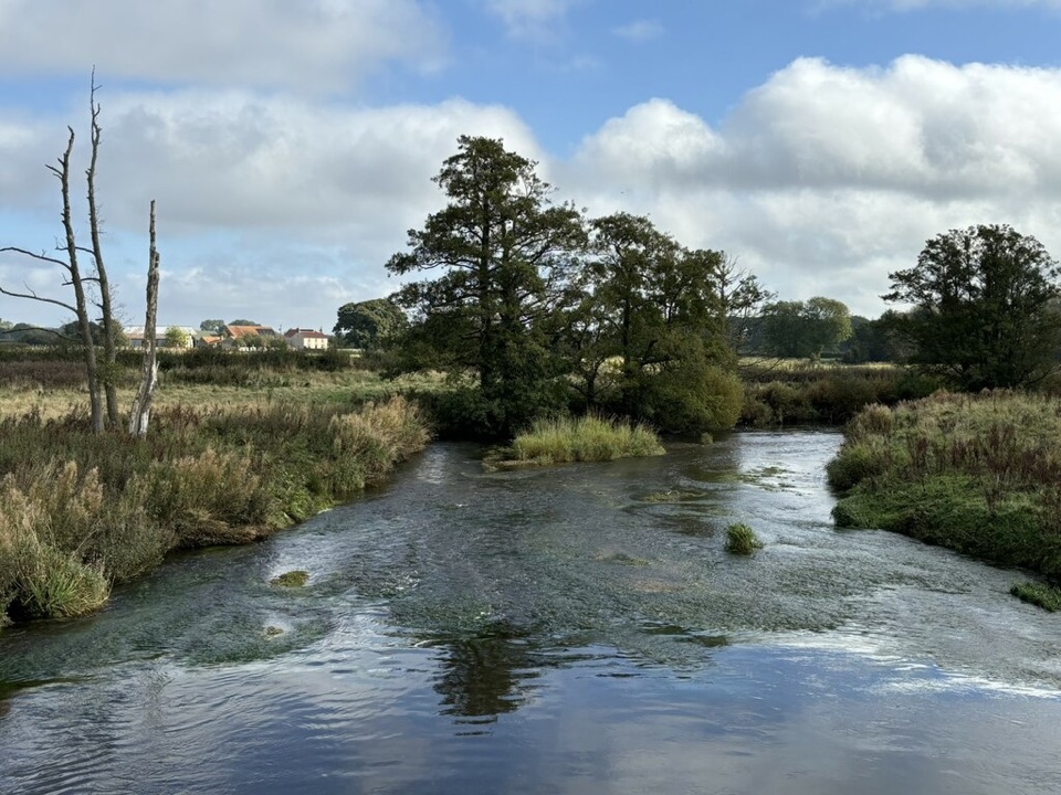
North York Moors National Park, EN
Riverside loop between two villages, with dippers, kingfishers and otter
Overview
Map & elevation
Plan your hike

The highest, rockiest slopes around here are a summer buffet for grizzly bears.
North York Moors Tour Guide
Parkwolf is a GPS audio tour guide for North York Moors National Park. As you drive, it chimes in with what’s ahead: hidden gems, upcoming stops, history, geology, and wildlife, right through your car’s speakers.
More stories near here in the app
“Fantastic app with many points of information… It’s great to just turn on while you’re driving and it gives you an audio tour of the national Park. We love it!!!!”


Trail guide
A 6-mile (9.6 km) complete loop starting and finishing beside the old Methodist chapel in Harome, allowing about 2 hours 20 minutes at a steady pace. It is officially rated easy and family-friendly, linking two villages through riverside meadow, farmland and woodland edge.
The payoff is the contrast: two very different rivers, quiet field crossings between them, and a woodland section that breaks up the open farmland.
Mostly paths, with some dirt road and a short asphalt stretch. The ground is low-lying and gently rolling rather than hilly, with only a few metres of rise and fall across the whole circuit, so effort is low.
What actually slows people down:
Boots or sturdy shoes are the sensible choice. The route includes paths, wet or muddy farm ground, kissing gates and a stile, and it is not step-free. Carry OS Explorer OL 26 North York Moors (Western Area) for the field-path junctions.
Riparian, woodland and farmland habitats sit side by side, which is why the wildlife list is long for such a short walk.
Any time of day works for bird and wildlife watching. For photography, low light early and late suits the river reflections, and owls or bats may possibly be about at those hours, though sightings are never certain. The middle of the day is better for the open farmland views.
The walk begins next to the old Methodist chapel in Harome. Free on-street parking is reported near the start, but spaces are limited and village lanes need to stay clear, so arrive prepared to park considerately or walk in from further along.
Dogs are welcome on the public rights of way, with real responsibilities on this route:
If 6 miles is more than you want, the Nunnington Circular Route covers similar countryside as an easy 4-mile circular walk.
Wildlife
 15 sightingsEurasian OtterMost seen around 7 PMSighting map
 10 sightingsRed DeerMost seen around 7 AMSighting map
 79 sightingsGrey SealMost seen around noonSighting map
 26 sightingsWestern Barn OwlMost seen around 7 PMSighting map
 33 sightingsEuropean BadgerMost seen around 7 PMSighting map
 10 sightingsMute SwanMost seen around noonSighting map
Sighting maps show where each species has been reported across North York Moors. Wildlife moves, so no sighting is guaranteed.
Keep exploring
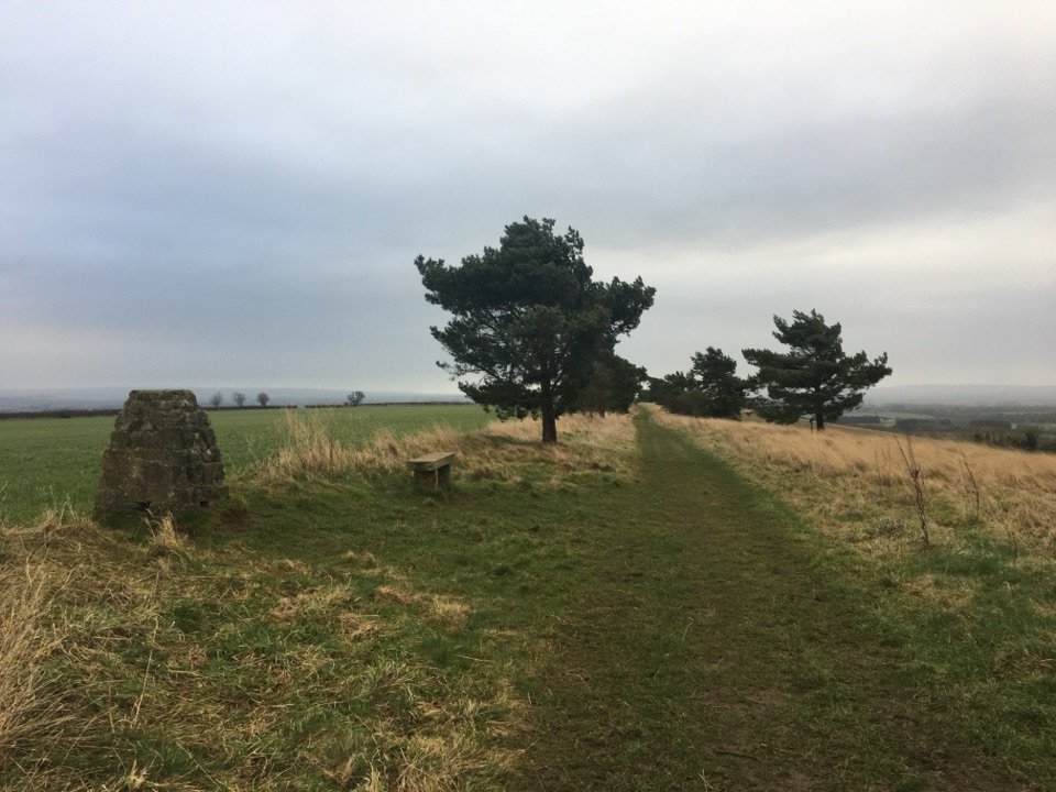 EasyNunnington Circular Route6.6 km · 1.7 hr · 3.4 km awayPasture, riverbank and a bank-top ridge with wide Rye valley views
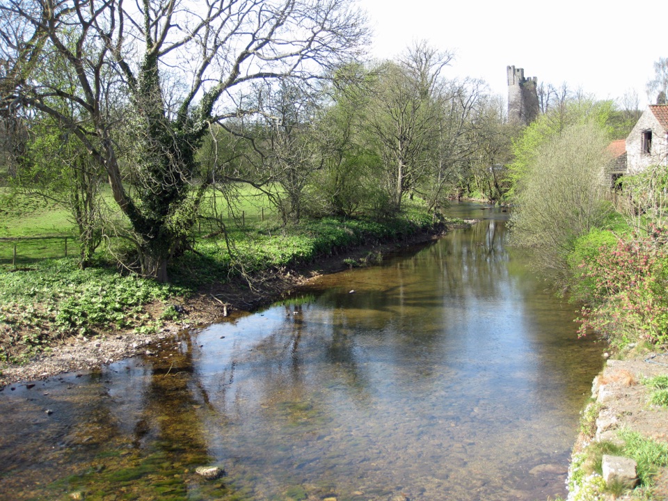 EasyHelmsley Circular Route5.8 km · 1.4 hr · 3.8 km awayEasy river loop along both banks of the Rye, through beech woodland
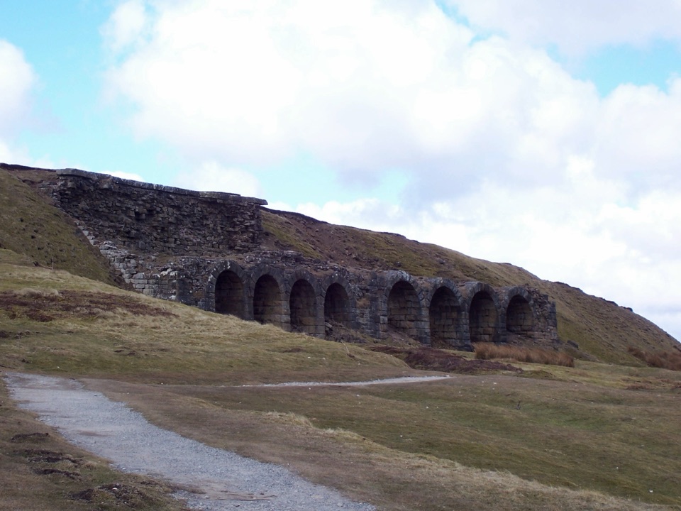 ChallengingThe Inn Way to the North York Moors143.2 km · 2 days · 4.1 km awaySix days of moorland ridges, hidden dales and village inns.
 ChallengingSaint Aelred’s Pilgrim Trail66 km · 22 hr · 4.2 km awayNine-stage, 41-mile circuit linking Ryedale churches with Rievaulx Abbey
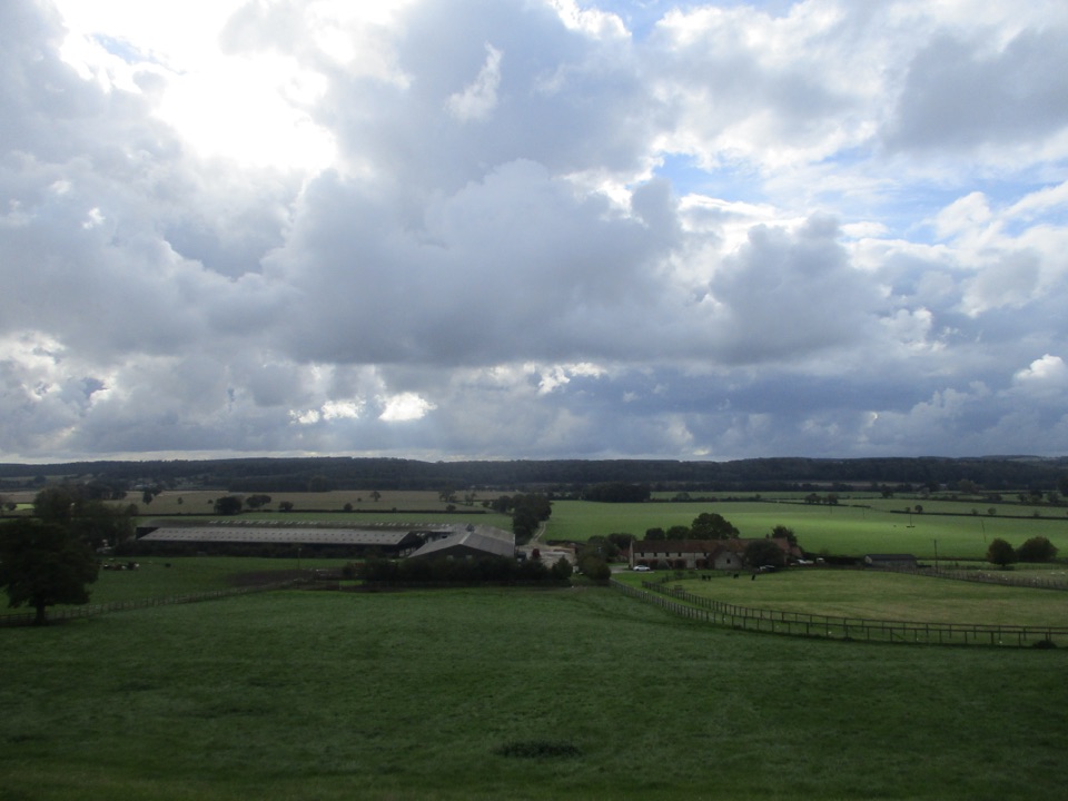 ModerateEbor Way122.9 km · 1.5 days · 4.3 km awayHelmsley to Ilkley on foot: farmland, York's walls, then gritstone moor
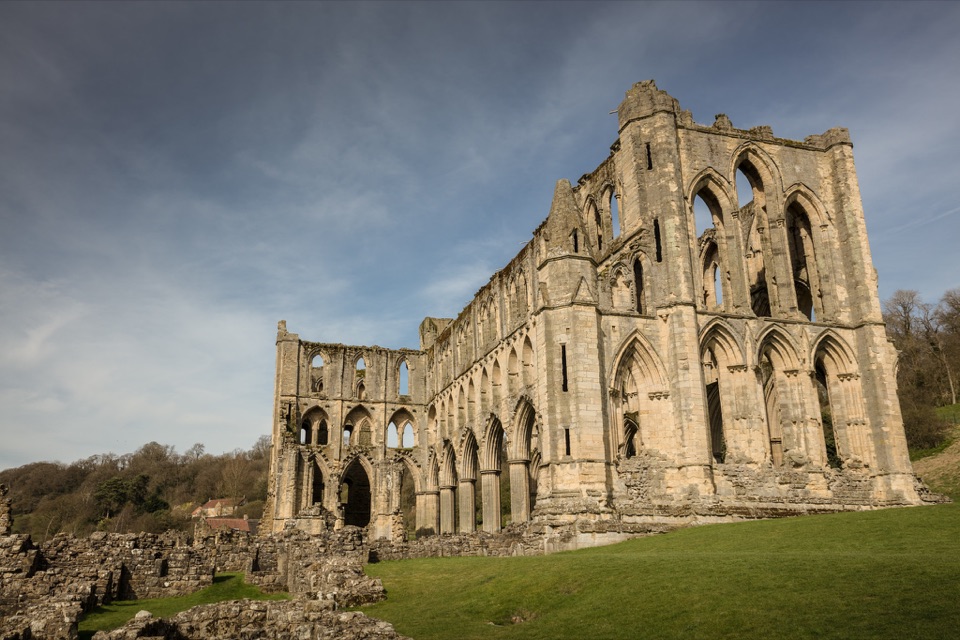 ModerateHelmsley and Rievaulx Abbey11.3 km · 4 hr · 4.3 km awayAbbey ruins, a terrace panorama and bluebell woods on a 7-mile circuit
 ChallengingCleveland Way National Trail175.4 km · 2.3 days · 4.4 km awayNine days from abbey ruins over heather moors to North Sea cliffs
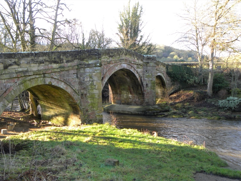 EasyRiver Folk Audio Trail3.7 km · 1 hr · 8.1 km awayShort river valley loop with downloadable audio stories by Rievaulx Abbey
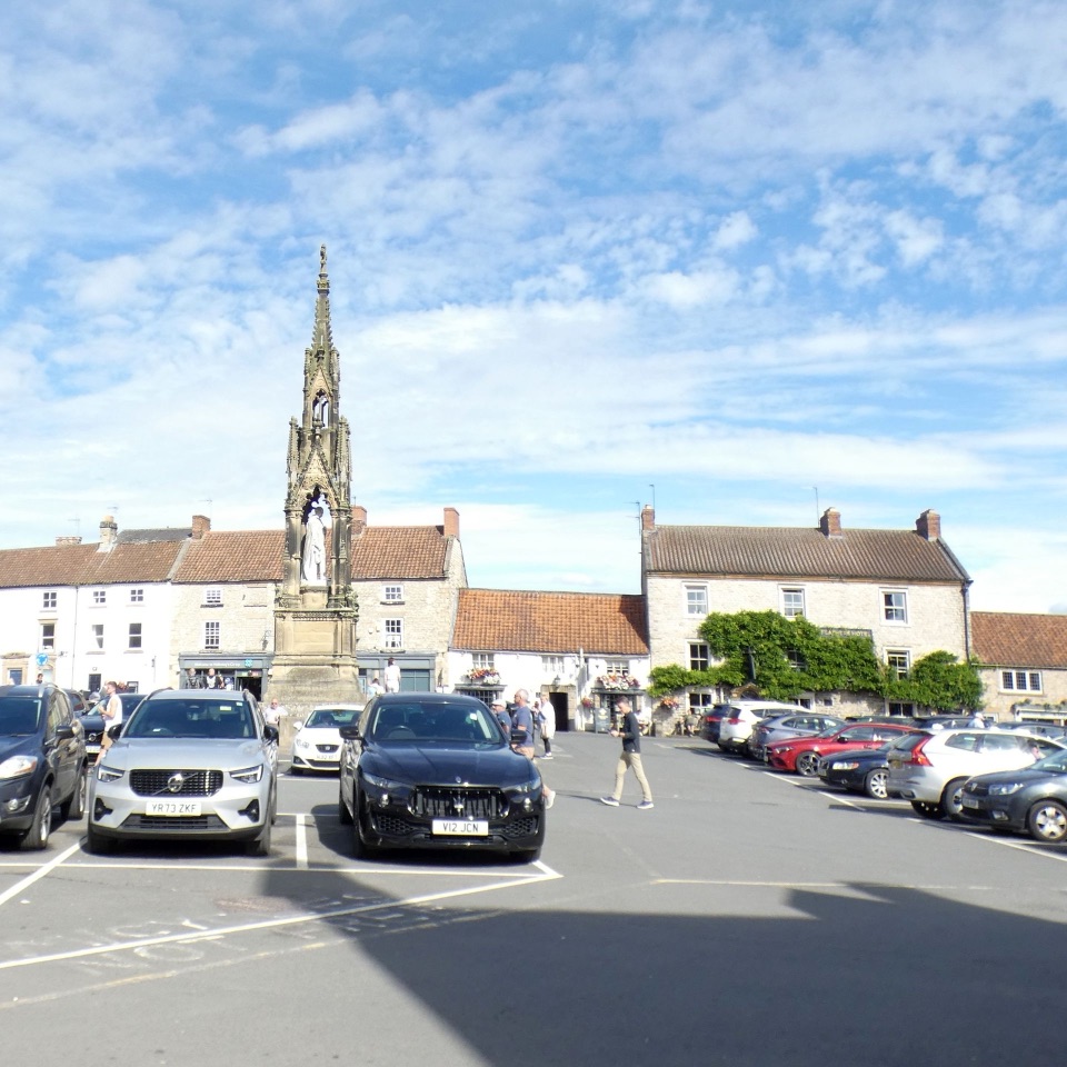 Sight · 4.1 km awayHelmsleyThe moors' only market town, and the Cleveland Way's first mile
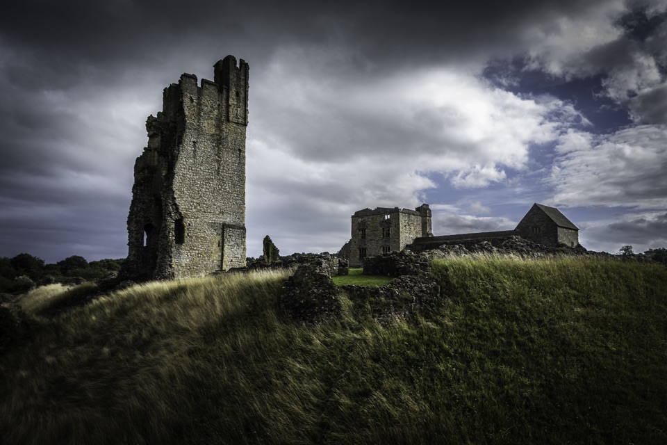 Sight · 4.2 km awayHelmsley CastleNine centuries of siege and splendour in a towering, ditch-ringed ruin
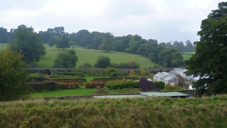 Sight · 4.3 km awayHelmsley Walled GardenFive walled acres of borders, glasshouses and orchards below the castle
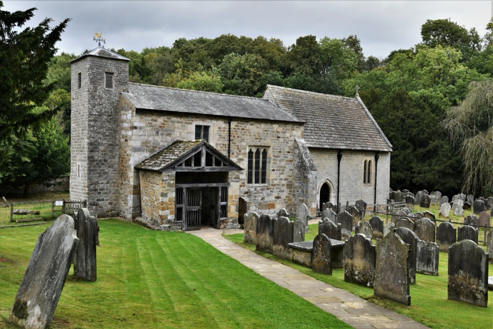 Sight · 4.6 km awaySt Gregory's Minster, KirkdaleAnglo-Saxon sundial and inscription above a quiet valley church door
 Sight · 4.8 km awayNational Centre for Birds of PreyEagles, owls and vultures flying free in ancient Duncombe woodland
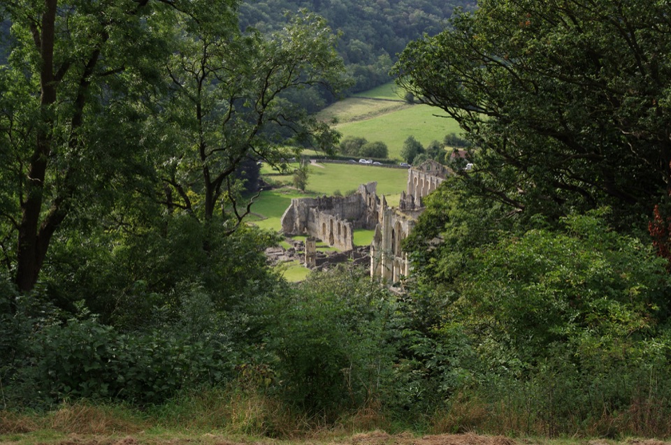 Sight · 7.6 km awayRievaulx TerraceGrassy Georgian terrace with two temples and framed abbey viewsSight · 8 km awayRievaulx AbbeyTall Cistercian church arches in a quiet wooded river valley
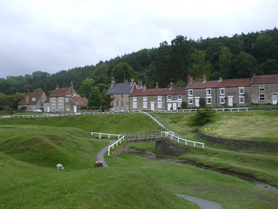 Sight · 9.6 km awayHutton-le-HoleHutton-le-Hole: clear moorland beck threading a broad, sheep-cropped green
Parkwolf’s North York Moors ranking

The audio tour guide for the drive, plus offline maps, trails, and wildlife heatmaps for when the signal drops.




