Nunnington Circular Route in North York Moors National Park

North York Moors National Park, EN

Nunnington Circular Route

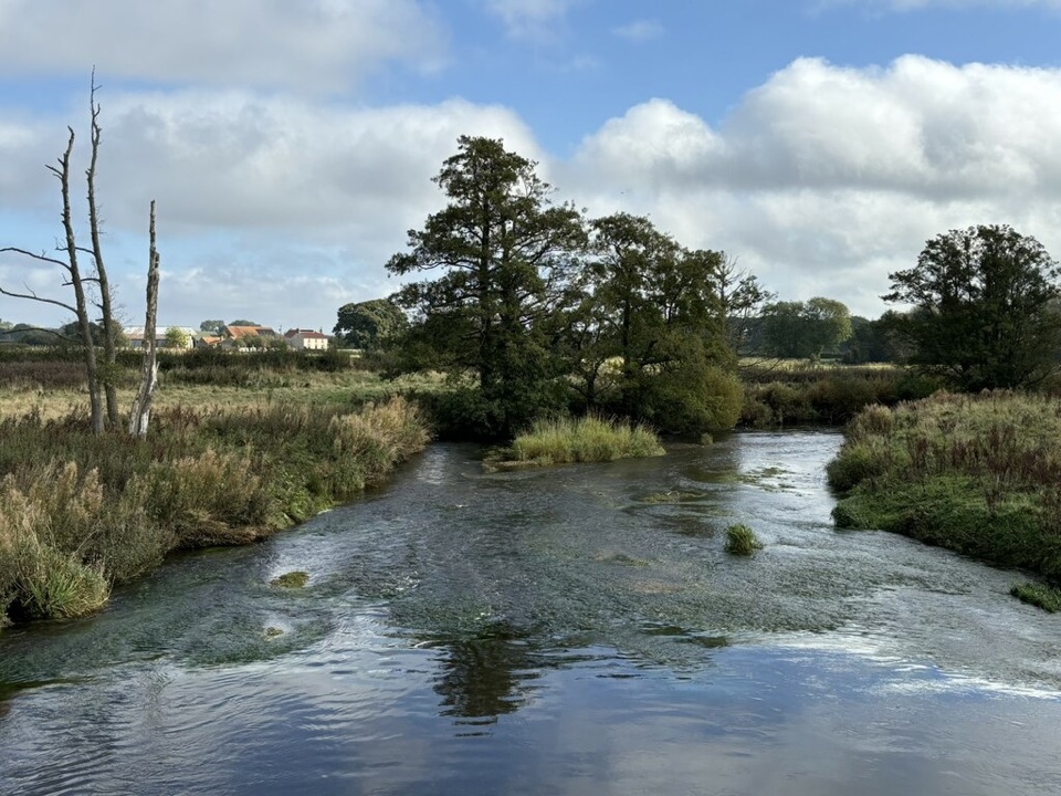
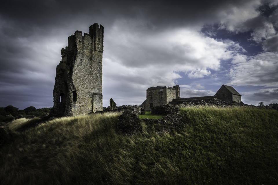
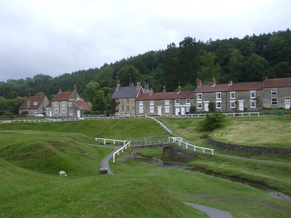
Pasture, riverbank and a bank-top ridge with wide Rye valley views

Photo: Wikimedia Commons
Length
6.6km
Time
1.7hr
Elev. change
71m
Difficulty
Easy
  • Loop
  • Dogs allowed
  • High point 99 m
Parkwolf audio tour298 stories across North York Moors’s roads

Overview

About Nunnington Circular Route

A circular route of 4.1 miles (6.6 km), measured as the complete loop with the stored route closing back at the start. Allow about 1 hour 40 minutes walking, or roughly 2 hours with ordinary stops. Elevation runs from about 27 to 100 metres, with around 73 metres of ascent. This is the National Park Authority's Ryevitalise circular route, which is distinct from the walk offered separately from Nunnington Hall.

Why go

  • Open ridge views over the North York Moors and Howardian Hills
  • Riverbank, pasture and a historic mill in one compact loop

Heads up

  • Short road section through West Ness
  • Field paths and gates can be wet underfoot

Map & elevation

The route

Loading the North York Moors map
Full map
Elevation28–99 m
TrailheadKissing gate south of Nunnington Village Hall54.20508, -0.97512
Keep this map with you offline in the Parkwolf app

Plan your hike

Before you go

Parking

No dedicated trail car park is identified for this route. Start at the kissing gate south of Nunnington Village Hall and park only considerately and legally nearby; Nunnington Hall parking is a separate access and is not this route's official start.


Safety

A short road section through West Ness has no separate pedestrian path. Watch for traffic and farm vehicles; gates, farm access, uneven ground and wet field sections can make footing harder.

8 active North York Moors alerts

  • ClosureHawnby Bridleway 110 closurePublic Bridleway 25.122/110/1 in Hawnby is closed to pedestrians, cyclists and equestrians because its bridge is unsafe. - The closure is between grid references SE 5309 9073 and SE 5335 9097.Official details
  • ClosureWest Ayton Footpath 1 closurePublic Footpath 1 in West Ayton (Forge Valley) is temporarily closed because its boardwalk is unsafe. - The closure is between SE 9860 8494 and SE 9839 8712.Official details
See all 8 alerts
A park ranger sits on a dash-mounted phone, talking, as Parkwolf’s Tour Guide plays “Army Cutworm Moths: A Grizzly Bear Buffet” on Grand Loop Road below Dunraven Pass in Yellowstone
Parkwolf Tour GuideThe highest, rockiest slopes around here are a summer buffet for grizzly bears.

North York Moors Tour Guide

Your drive to Nunnington Circular Route, narrated.

Parkwolf is a GPS audio tour guide for North York Moors National Park. As you drive, it chimes in with what’s ahead: hidden gems, upcoming stops, history, geology, and wildlife, right through your car’s speakers.

More stories near here in the app

  • The Fields Beneath the Fields
  • The Life in an Old Tree
  • Too Many Apples at Ampleforth
  • The Monks Who Came Home
  • 298 audio storiesacross North York Moors’s roads, triggered by GPS as you drive
  • Wildlife heatmapsfor Eurasian Otter, Red Deer, Grey Seal, and 13 more
  • Works offlinemaps, 126 trails, 65 places, and audio download before you lose signal
  • CarPlay readysimple controls built for the drive
★★★★★
“Fantastic app with many points of information… It’s great to just turn on while you’re driving and it gives you an audio tour of the national Park. We love it!!!!”
JMJamesApp Store review
Download Parkwolf on the App StoreGet Parkwolf on Google Play

4.7 from 8,600+ ratings

Trail guide

Hiking Nunnington Circular Route

Start and accessThe route begins at the kissing gate south of Nunnington Village Hall (54.205085, -0.975122).

The route begins at the kissing gate south of Nunnington Village Hall (54.205085, -0.975122). There is no dedicated trail car park identified for this walk, and the parking at Nunnington Hall is not the official start for it, so plan your arrival accordingly and park considerately in the village.

The walk in sequenceThe payoff is the bank-top stretch, with broad views north over the North York Moors and south…

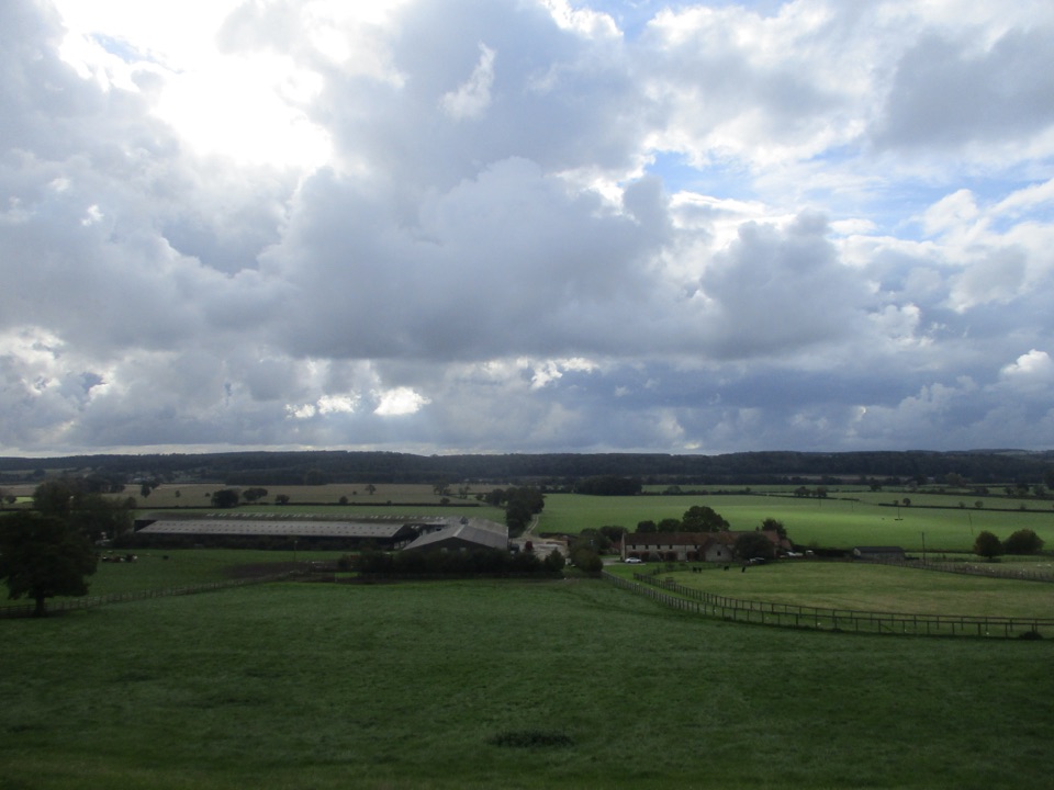
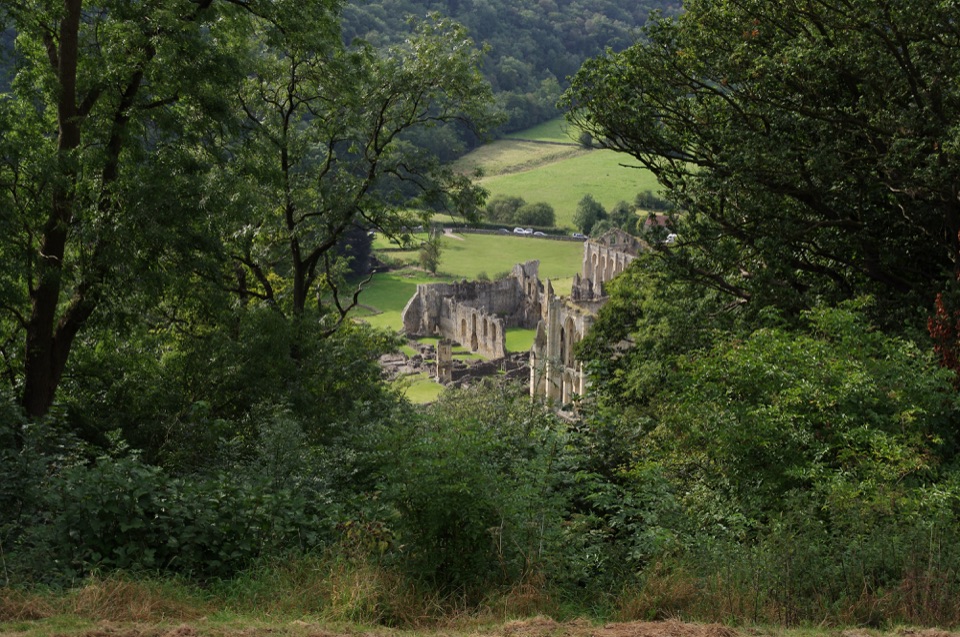
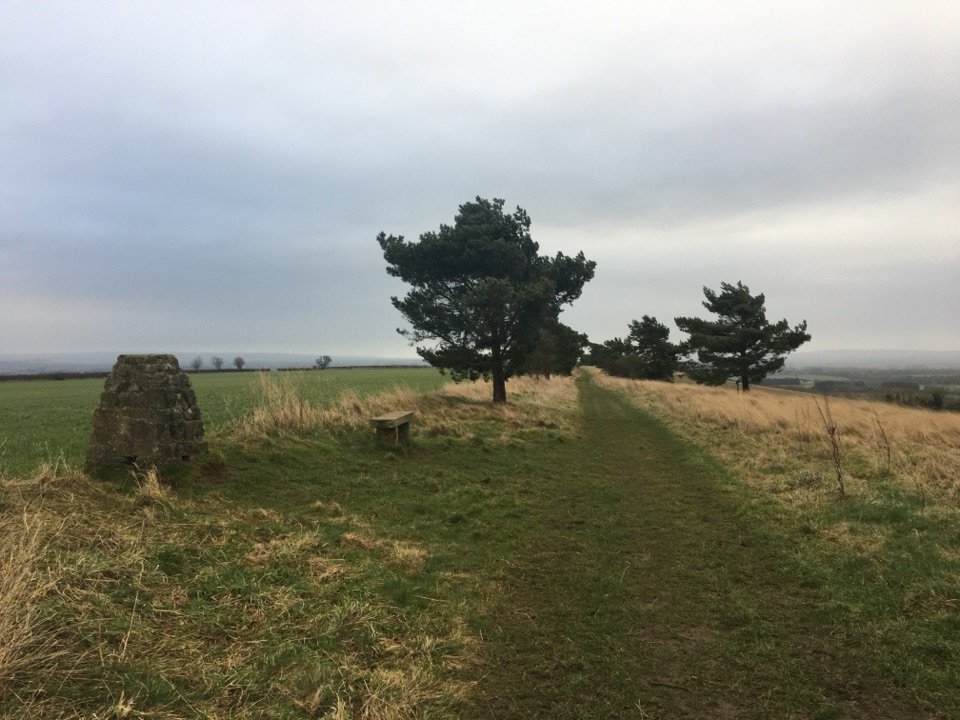
The payoff is the bank-top stretch, with broad views north over the North York Moors and south across the Howardian Hills and toward the Yorkshire Wolds.

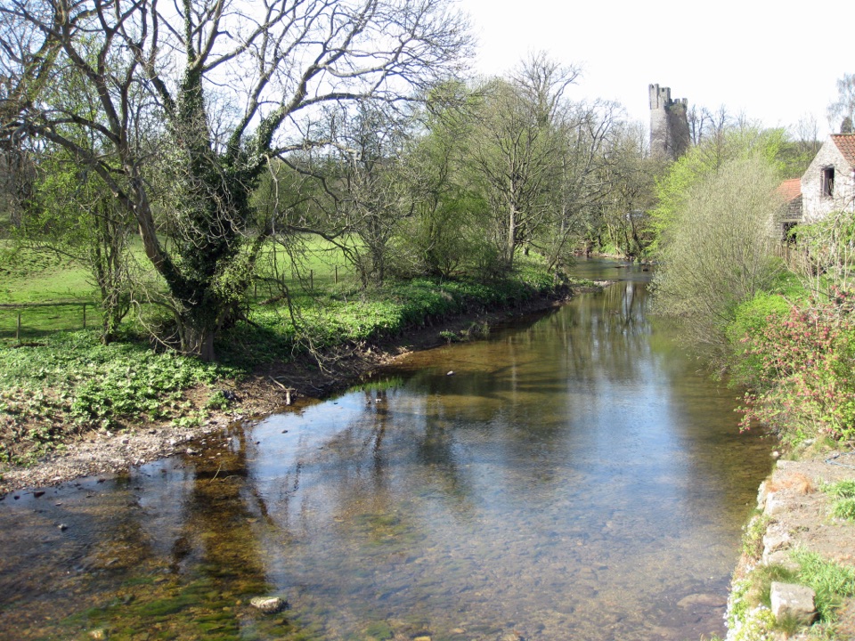
  • East across pasture dotted with old sycamores to the old Nunnington Mill.
  • Through the farmyard, then along the top of the River Rye bank.
  • A short road section through West Ness.
  • Straight up Caulkleys Lane, then around onto Caulkleys Bank.
  • Cross the road, descend toward Nunnington, skirt the church and houses, and return to the start.
Difficulty and footingEasy overall, but not surfaced and not step-free.

Easy overall, but not surfaced and not step-free. Expect pasture paths, a riverside footpath, a farmyard, a bridleway climb and gates, with a steady pull up Caulkleys Lane. Uneven ground, farm access and wet or muddy conditions can all make the going less easy underfoot than the easy grading suggests, so wear footwear that copes with soft field surfaces.

Wildlife and sceneryThe official description highlights river and tree birdlife, with otters seen frequently along…

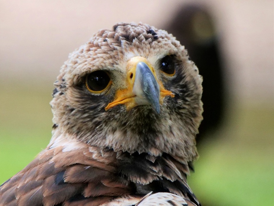
The official description highlights river and tree birdlife, with otters seen frequently along the Nunnington stretch of the river, plus barn owls and little owls over the farmland verges and field margins. Early evening may reward owl sightings. The character shifts pleasingly from enclosed pasture and riverbank to open ridge, which keeps the interest up on a short loop.

DogsDogs are welcome on this public rights of way route, but livestock is often present in the farm…

Dogs are welcome on this public rights of way route, but livestock is often present in the farm fields. Keep dogs under control, on public rights of way, and on a short lead near farm animals.

Things to be aware ofA short section follows the road through West Ness, with no dedicated pedestrian path…
  • A short section follows the road through West Ness, with no dedicated pedestrian path indicated, so walk with care and watch for traffic.
  • Gates and a working farmyard mean you should close gates behind you and pass through quietly.
  • Field sections can be muddy after rain, and the bank top is open to the wind.
A different nearby optionThe National Trust's 4.

The National Trust's 4.5-mile Nunnington Hall up Bank and round Rye walk is a separate, longer alternative in the same area, with a long gentle climb, stiles and uneven ground, and Hall access on opening days and hours. It is a different walk, not part of this route.

Wildlife

Wildlife in North York Moors

All North York Moors wildlife maps

Sighting maps show where each species has been reported across North York Moors. Wildlife moves, so no sighting is guaranteed.

Keep exploring

Near Nunnington Circular Route

See it all on the map

Trails that start nearby

Places near the trailhead

Parkwolf’s North York Moors ranking

Top-rated trails in North York Moors

All 126 trails
  1. 1Cleveland Way National TrailChallenging · 175.4 km
  2. 2Coast to Coast Path National TrailChallenging · 305.8 km
  3. 3Roseberry Topping and Cook’s MonumentModerate · 11.6 km
  4. 4Levisham Moor & Hole of HorcumModerate · 8.4 km
  5. 5Ravenscar to Robin Hood's BayChallenging · 17.7 km
  6. 6Lyke Wake WalkChallenging · 64.7 km

Take Parkwolf to North York Moors.

The audio tour guide for the drive, plus offline maps, trails, and wildlife heatmaps for when the signal drops.

4.7 from 8,600+ ratings

Download Parkwolf on the App StoreGet Parkwolf on Google Play