Elwha Dam Interpretive Site in Olympic National Park

Sight · Olympic National Park

Elwha Dam Interpretive Site

A compact pavilion tells the story of the Elwha's dam removal.

Type
Sight
Nearest trail
3.9 mi
  • Exhibit
  • Parking
  • Restrooms
  • Picnic tables
  • #24 of 50 sights
Parkwolf audio tour204 stories across Olympic’s roads

Overview

About Elwha Dam Interpretive Site

Why stop

  • Twenty-two panels explain the restoration project in real depth.

Heads up

  • The pavilion itself has no old-dam or river view; those walks are separate.

Map

Where it is

Loading the Olympic map
Full map
SightElwha Dam Interpretive Site48.09912, -123.55656
Keep this map with you offline in the Parkwolf app

Plan your stop

Before you go

6 active Olympic alerts

  • CautionUS 101 Hoh River Bridge reduced to one laneUS 101 at the Hoh River Bridge is restricted to one lane of alternating traffic; obey the signals and 25 mph speed limit.Official details
  • ClosureStaircase wilderness trails and campsites remain closedWilderness trails and campsites around Staircase remain closed during recovery from the Bear Gulch Fire; the developed Staircase area, including the Rapids Loop, campground, and ranger station, is…Official details

See all 6 alerts
A park ranger sits on a dash-mounted phone, talking, as Parkwolf’s Tour Guide plays “Army Cutworm Moths: A Grizzly Bear Buffet” on Grand Loop Road below Dunraven Pass in Yellowstone
Parkwolf Tour GuideThe highest, rockiest slopes around here are a summer buffet for grizzly bears.

Olympic Tour Guide

Your drive to Elwha Dam Interpretive Site, narrated.

Parkwolf is a GPS audio tour guide for Olympic National Park. As you drive, it chimes in with what’s ahead: hidden gems, upcoming stops, history, geology, and wildlife, right through your car’s speakers.

See the Olympic audio tour

More stories near here in the app

  • The Sapsucker’s Sap Wells
  • How a Salmon Handles Salt
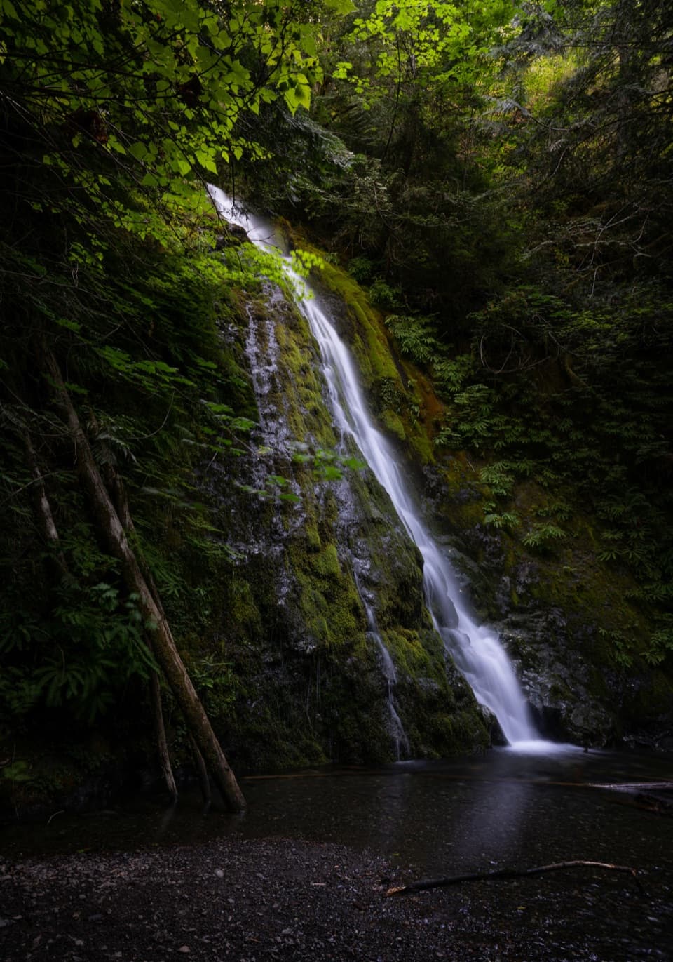
  • Madison Falls: A Short Walk in the Elwha
  • Why a Banana Slug Needs Slime
  • 204 audio storiesacross Olympic’s roads, triggered by GPS as you drive
  • Wildlife heatmapsfor Olympic Marmot, Humpback Whale, Grey Whale, and 13 more
  • Works offlinemaps, 148 trails, 94 places, and audio download before you lose signal
  • CarPlay readysimple controls built for the drive
★★★★★
“Fantastic app with many points of information… It’s great to just turn on while you’re driving and it gives you an audio tour of the national Park. We love it!!!!”
JMJamesApp Store review
Download Parkwolf on the App StoreGet Parkwolf on Google Play

4.7 from 8,600+ ratings

Guide

More about Elwha Dam Interpretive Site

Start with the exhibitElwha Dam Interpretive Site is a compact, open-sided timber pavilion at milepost 60 on SR 112.

Elwha Dam Interpretive Site is a compact, open-sided timber pavilion at milepost 60 on SR 112. Its 22 large panels explain the Elwha River, Lower Elwha Klallam ties to the river, and the dams that reshaped the valley. If you want to understand what dam removal changed, this is a worthwhile context stop. The pavilion isn't the old dam or a river overlook; trails toward the gorge and former-dam views start from nearby parking, but those are separate walks. Thirteen panels make a self-guided program, and a 32-minute audio description covers the full display.

Getting around the pavilionConcrete sidewalks connect the parking area to the exhibits, and a picnic table sits on its own…

Concrete sidewalks connect the parking area to the exhibits, and a picnic table sits on its own concrete pad. The site is marked wheelchair accessible, and a restroom is listed, though its type isn't specified.

The dams that reshaped the valleyConstruction of the 105-foot Elwha Dam began in 1910, and it was generating power by 1914.

Construction of the 105-foot Elwha Dam began in 1910, and it was generating power by 1914. About eight river miles upstream, the 210-foot Glines Canyon Dam was producing power by 1927. The dams blocked salmon and sediment, and their reservoirs flooded Lower Elwha Klallam homelands and cultural sites. Congress authorized restoration in 1992; removal began in 2011, Elwha Dam came down six months later, and Glines Canyon Dam was removed in 2014.

Salmon have room to returnThe dams had blocked access to about 70 miles of spawning habitat.

The dams had blocked access to about 70 miles of spawning habitat. After removal, salmon could reach about 75 miles of river and tributaries. In 2013, hundreds of Chinook passed the old Elwha Dam site and spawned in three tributaries that had been inaccessible for a century. The panels also cover Chinook, chum, coho, pink and sockeye salmon, plus sea-run cutthroat, steelhead and bull trout.

A much older connectionThe exhibits present the Lower Elwha Klallam's enduring connection to the river alongside the…

The exhibits present the Lower Elwha Klallam's enduring connection to the river alongside the peninsula's long human history. NPS dates the oldest currently identified human evidence on the Olympic Peninsula to about 13,800 years ago; that's regional context, not a date for this site.

Wildlife

Wildlife in Olympic

All Olympic wildlife maps

Sighting maps show where each species has been reported across Olympic. Wildlife moves, so no sighting is guaranteed.

Parkwolf’s Olympic ranking

Top sights in Olympic

All 94 places
  1. 1Hurricane RidgeSight
  2. 2Ruby BeachBeach
  3. 3Rialto BeachBeach
  4. 4Sol Duc FallsSight
  5. 5Marymere FallsSight
  6. 6Second BeachBeach

Take Parkwolf to Olympic.

The audio tour guide for the drive, plus offline maps, trails, and wildlife heatmaps for when the signal drops.

4.7 from 8,600+ ratings

Download Parkwolf on the App StoreGet Parkwolf on Google Play