Parking
Park at the Madison Falls Trailhead on Olympic Hot Springs Road. An America the Beautiful pass or park entry fee is required. The road walk from this parking area is included in the 28.3-mile round trip.

Olympic National Park, WA
A 28-mile round trip to a lake beneath Boulder Peak
Overview
Boulder Lake Trail is a 28.3-mile round-trip out-and-back from Madison Falls to a subalpine lake beneath Boulder Peak, with about 8,800 feet of climbing. The route includes roughly 8 miles each way along the old Olympic Hot Springs Road corridor, including its mapped bypass, another 3.3 miles to the Appleton Pass Trail junction, and a 2.8-mile climb to the lake. Plan an overnight or multi-day trip; at roughly 19 hours of walking, a one-day push is for exceptionally fit hikers. Shorter mileage figures start beyond Madison Falls and leave out most of the road approach.
 Parkwolf’s verdictIs this the hike for you?
Map & elevation
Plan your hike

The highest, rockiest slopes around here are a summer buffet for grizzly bears.
Olympic Tour Guide
Parkwolf is a GPS audio tour guide for Olympic National Park. As you drive, it chimes in with what’s ahead: hidden gems, upcoming stops, history, geology, and wildlife, right through your car’s speakers.
See the Olympic audio tourRecorded for this trailhead
Madison Falls: A Short Walk in the Elwha“You're approaching Madison Falls, a good choice for a waterfall stop without a long hike. Allow fifteen to twenty minutes for the short walk and a pause beside the sixty-foot cascade.”
Plays as you drive up to this trailhead in the Parkwolf Olympic Tour Guide.
More stories near here in the app
“Fantastic app with many points of information… It’s great to just turn on while you’re driving and it gives you an audio tour of the national Park. We love it!!!!”


Trail guide
The road walk is long. After the road end, the route passes Olympic Hot Springs and Boulder Creek Campground before reaching the Appleton Pass Trail junction. That lower connector is about 3.3 miles and relatively easy. At the junction, take Boulder Lake Trail rather than continuing on the separate Appleton Pass route or joining the Happy Lake Ridge loop.
The lake trail climbs steadily through fir and hemlock for 2.8 miles, without switchbacks. The grade is described as moderate on its own, but it comes after a long approach. Openings look south toward the north slopes of Mount Appleton. A small creek crosses the climb and can shrink to a damp trace by late summer.
The lake sits in a high basin beneath steep cliffs and tree-studded slopes. Green-tinted water meets a shoreline of sand and smooth rock; established campsites and a pit toilet are nearby. Huckleberry and azalea ring the shore. Their autumn color and reflections make the lake especially photogenic; frame the water with the shrubs and steep backdrop rather than isolating the lake surface.
Boulder Lake holds non-native brook trout, and fishing is allowed under park regulations. In late summer, bears may forage for huckleberries in the flats east of the lake, so keep food secured in the required canister. It is a destination for the whole basin, not just a quick viewpoint, so leave time to rest, fish, or camp before retracing the same route.
Overnight wilderness camping requires a permit and a bear canister. Campfires are prohibited above 3,500 feet. Treat all lake, creek, and stream water before drinking, and do not count on the small creek as a late-summer refill. Pets are not allowed on this wilderness trail.
Wildlife
 710 sightingsOlympic MarmotMost seen around 11 AMSighting map
 30 sightingsHumpback WhaleMost seen around 6 PMSighting map
 42 sightingsGrey WhaleMost seen around noonSighting map
 23 sightingsMountain LionMost seen around 8 PMSighting map
 71 sightingsMountain GoatMost seen around 7 AMSighting map
 306 sightingsBald EagleMost seen around 11 AMSighting map
Sighting maps show where each species has been reported across Olympic. Wildlife moves, so no sighting is guaranteed.
Keep exploring
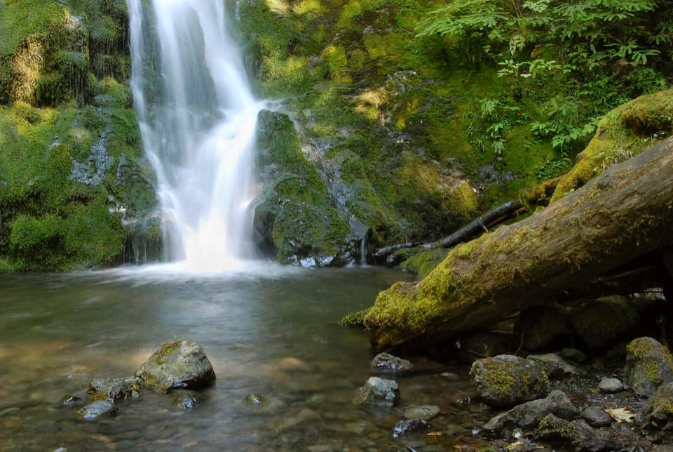 EasyMadison Falls Trail0.2 mi · 15 min · At the trailheadA gentle paved walk ends at a 60-foot waterfall.
 ChallengingOlympic Hot Springs Trail20.8 mi · 11 hr · At the trailheadA full-day road-and-trail hike ends at natural hot springs.
 ChallengingGriff Creek Trail9.6 mi · 6.5 hr · At the trailheadA long approach leads to steep Elwha views from a clearing
 ModerateGlines Canyon Overlook Trail6.8 mi · 4 hr · At the trailheadA road walk to the Elwha’s reborn canyon.
 ChallengingCascade Rock Trail4 mi · 4 hr · 0.7 mi awayA steep forest climb to a mossy rock above the Elwha.
 ModerateWest Elwha Trail7 mi · 4 hr · 0.7 mi awayA mossy forest walk along the Elwha to the former Altair site.
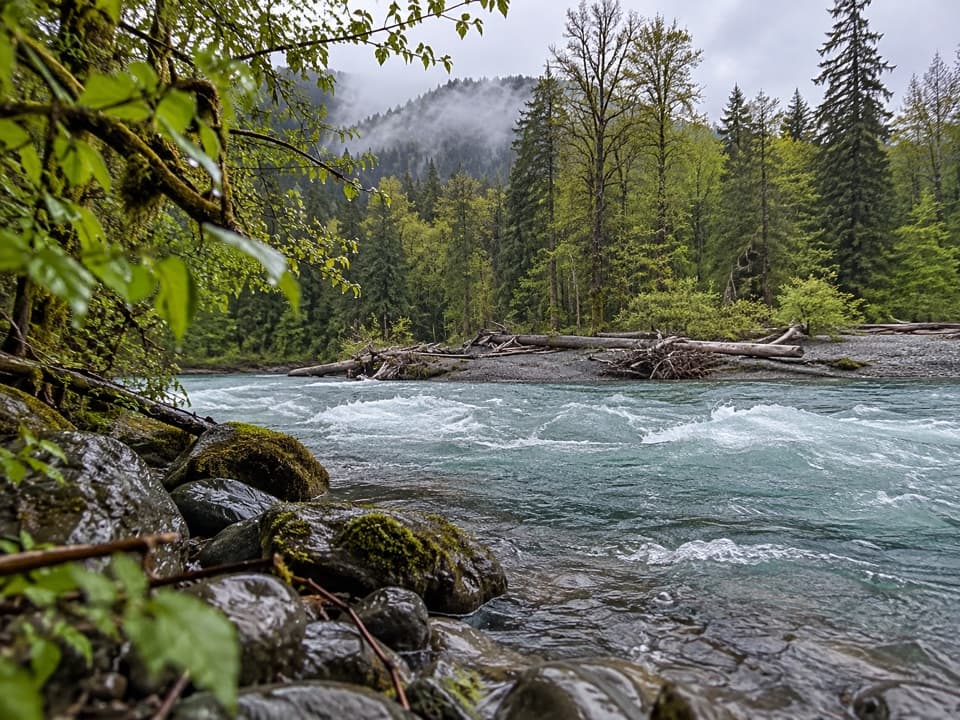 EasyElwha Forest Loop Trail0.4 mi · 15 min · 1 mi awayA short forest path whose mapped line isn't a loop.
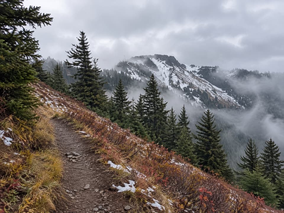 ChallengingElwha to Hurricane Hill Trail11.6 mi · 12 hr · 1.9 mi awayA hard forest climb opens into meadows with Bailey Range views.
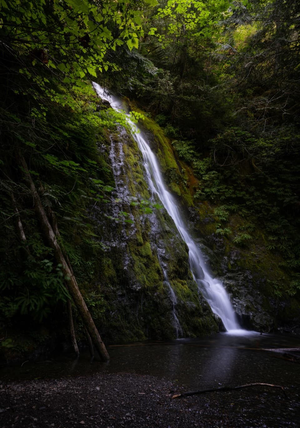 Sight · 0.1 mi awayMadison FallsA short Elwha Valley walk ends below a 60-foot waterfall.
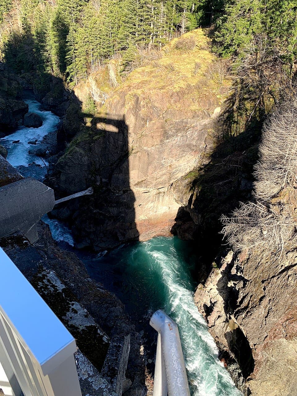 Sight · 2.7 mi awayGlines Canyon Dam OverlookThe reservoir is gone; the river now runs through its canyon.
 Sight · 4.3 mi awayElwha Dam Interpretive SiteA compact pavilion tells the story of the Elwha's dam removal.
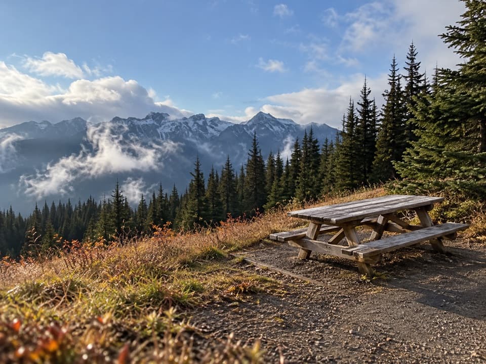 Picnic area · 5.9 mi awayHurricane Hill Picnic Areas A and BA summer picnic stop with mountain views along Hurricane Hill Road.Sight · 6.3 mi awayOlympic Hot SpringsA long Elwha Valley walk or bike-and-hike to hot springs.
 Sight · 6.4 mi awayCirque Rim OverlookA quick paved walk to broad views across the Strait.
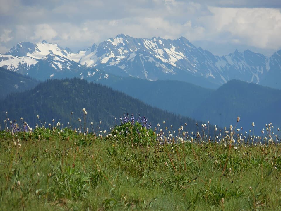 Sight · 6.5 mi awayHurricane RidgeBailey Range views from the road-end meadow.
 Entrance station · 7.4 mi awayHeart O' the Hills Entrance StationA quick fee stop before the road climbs toward Hurricane Ridge.
Parkwolf’s Olympic ranking
The audio tour guide for the drive, plus offline maps, trails, and wildlife heatmaps for when the signal drops.