Parking
Use the Little River Trailhead parking lot on Little River Road, across from the trail entrance. A Discover Pass is required to park.
Olympic National Park, WA
River bridges give way to a high, 4,100-foot climb.
Overview
Map & elevation
Plan your hike

The highest, rockiest slopes around here are a summer buffet for grizzly bears.
Olympic Tour Guide
Parkwolf is a GPS audio tour guide for Olympic National Park. As you drive, it chimes in with what’s ahead: hidden gems, upcoming stops, history, geology, and wildlife, right through your car’s speakers.
See the Olympic audio tourMore stories near here in the app
“Fantastic app with many points of information… It’s great to just turn on while you’re driving and it gives you an audio tour of the national Park. We love it!!!!”


Trail guide
Little River Trail is a point-to-point route from Little River Road to the Hurricane Hill Nature Trail junction, climbing from lowland forest into subalpine meadow. The park lists 6.8 miles one way; the mapped track measures 7.4 miles, and other trail descriptions report 8. Plan for a seven-to-eight-mile climb and roughly 4,100 feet of net ascent. Allow about 6–8 hours uphill. The trail does not loop: arrange a pickup at the upper end or expect a long return walk of roughly 14–16 miles. The endpoint is the junction, not Hurricane Hill’s summit; continuing on the adjacent nature trail adds a separate hike.
The route rolls up and down through forest before dropping to Little River. Several built bridges cross the water. The tread is mostly smooth, but roots, loose rock and sticky clay can slow you down. If you want a shorter outing, the lower river section works as an out-and-back with a turnaround you choose; there is no short loop here.
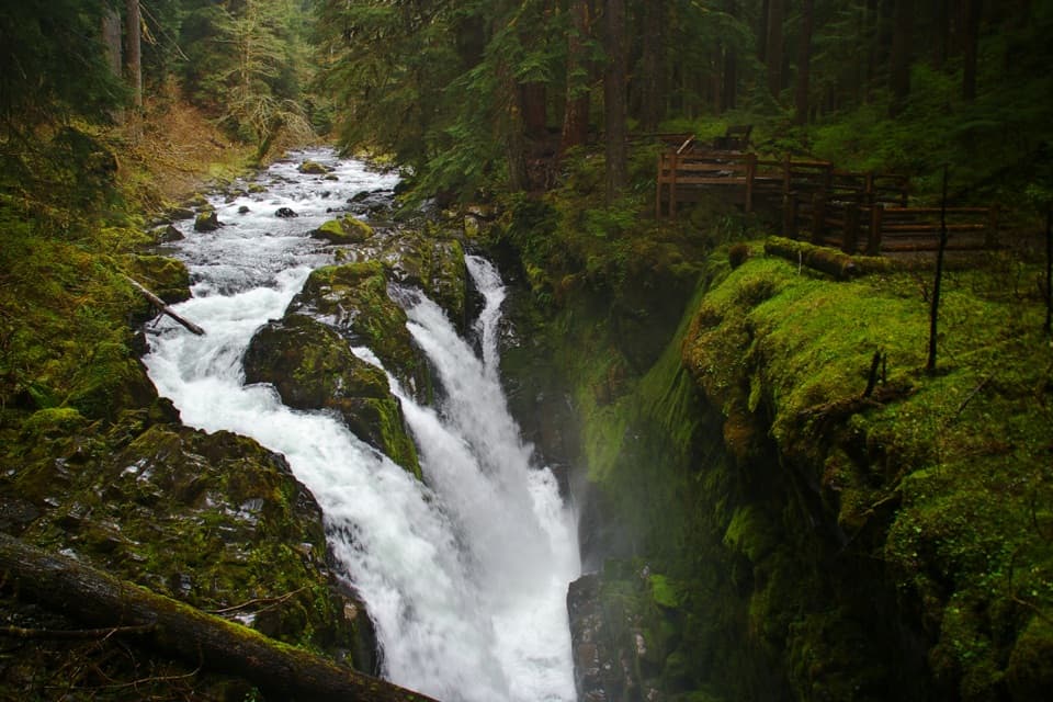
Look for a metal spiral left from an old wooden water-pipe system. Basalt outcrops create small cave-like pockets with moss and overhanging ferns, and the lower trail passes old-growth trees and small waterfalls. The river, bridges and shaded forest make the first part feel gentler than the climb that follows.
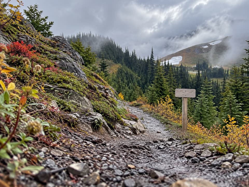
The route gets steeper in its final three miles, passing from lowland and montane forest into subalpine forest and meadow. It reaches the Hurricane Hill Nature Trail at a high ridge junction. Frame the gravel tread with the open slope behind it for a sense of how the route emerges from the trees. High elevations are most reliably accessible from early July through October, but snow can cover the upper trail in any season. Map-and-compass navigation may be needed when snow hides the tread.
The Little River Trailhead parking lot is across Little River Road from the trail entrance, and a Discover Pass is required to park. No toilets are listed. Stream water needs treatment. Pets are not allowed on Olympic National Park trails; overnight wilderness trips require a permit.
Wildlife
 710 sightingsOlympic MarmotMost seen around 11 AMSighting map
 30 sightingsHumpback WhaleMost seen around 6 PMSighting map
 42 sightingsGrey WhaleMost seen around noonSighting map
 23 sightingsMountain LionMost seen around 8 PMSighting map
 71 sightingsMountain GoatMost seen around 7 AMSighting map
 306 sightingsBald EagleMost seen around 11 AMSighting map
Sighting maps show where each species has been reported across Olympic. Wildlife moves, so no sighting is guaranteed.
Keep exploring
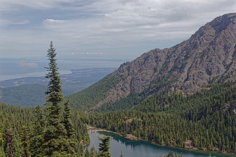 ChallengingHeather Park–Lake Angeles Loop12.5 mi · 9 hr · 3.4 mi awayA hard ridge loop from flower meadows to a mountain lake.
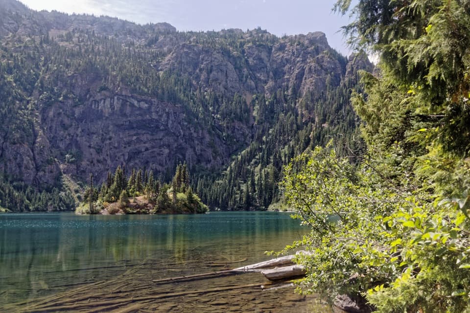 ModerateLake Angeles Trail7 mi · 5.5 hr · 3.5 mi awayA steep forest climb to an alpine lake with a central island.
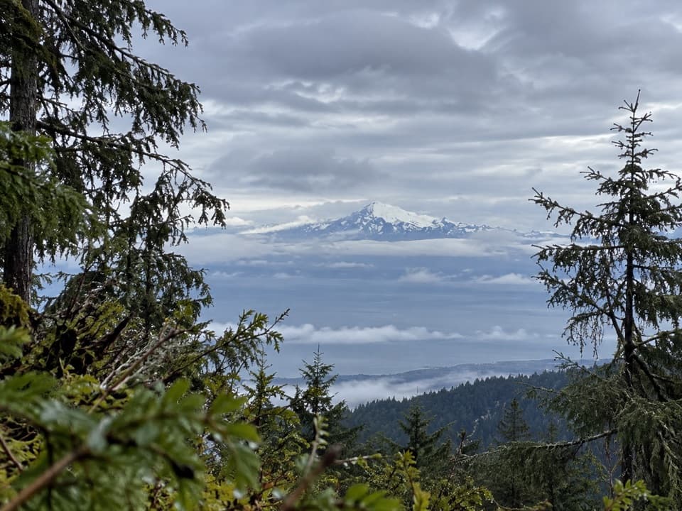 ChallengingHeather Park Trail10 mi · 9 hr · 3.5 mi awayFive miles uphill to wildflower meadows; nearly 4,000 feet of climb.
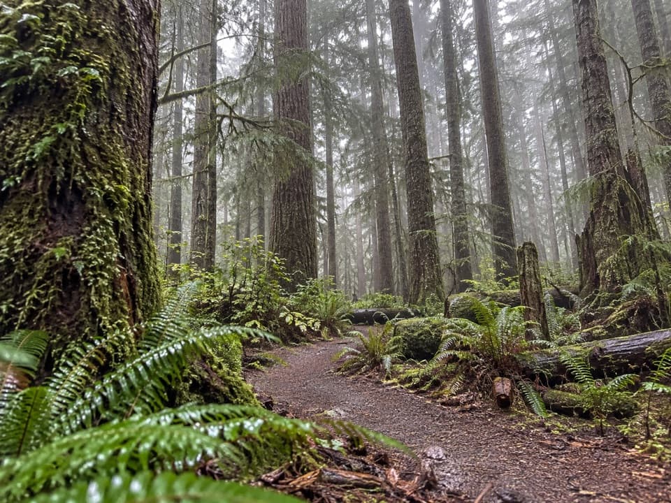 ModerateHeart O' the Forest Trail4.6 mi · 2 hr · 3.9 mi awayOld growth and a streamside boardwalk give way to a rougher finish.
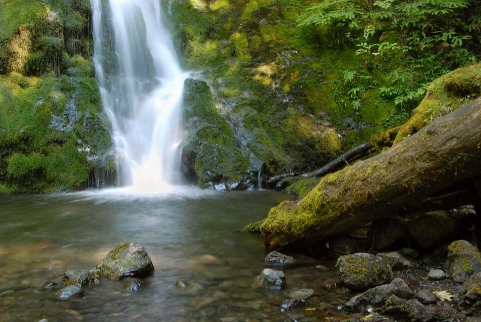 EasyMadison Falls Trail0.2 mi · 15 min · 4.3 mi awayA gentle paved walk ends at a 60-foot waterfall.
 ChallengingBoulder Lake Trail28.3 mi · 19 hr · 4.3 mi awayA 28-mile round trip to a lake beneath Boulder Peak
 ChallengingOlympic Hot Springs Trail20.8 mi · 11 hr · 4.3 mi awayA full-day road-and-trail hike ends at natural hot springs.
 ChallengingGriff Creek Trail9.6 mi · 6.5 hr · 4.3 mi awayA long approach leads to steep Elwha views from a clearing
 Entrance station · 3.6 mi awayHeart O' the Hills Entrance StationA quick fee stop before the road climbs toward Hurricane Ridge.
 Campground · 3.6 mi awayHeart O' the Hills CampgroundA quiet forest base for Hurricane Ridge and a woodland walk.
 Sight · 3.9 mi awayElwha Dam Interpretive SiteA compact pavilion tells the story of the Elwha's dam removal.
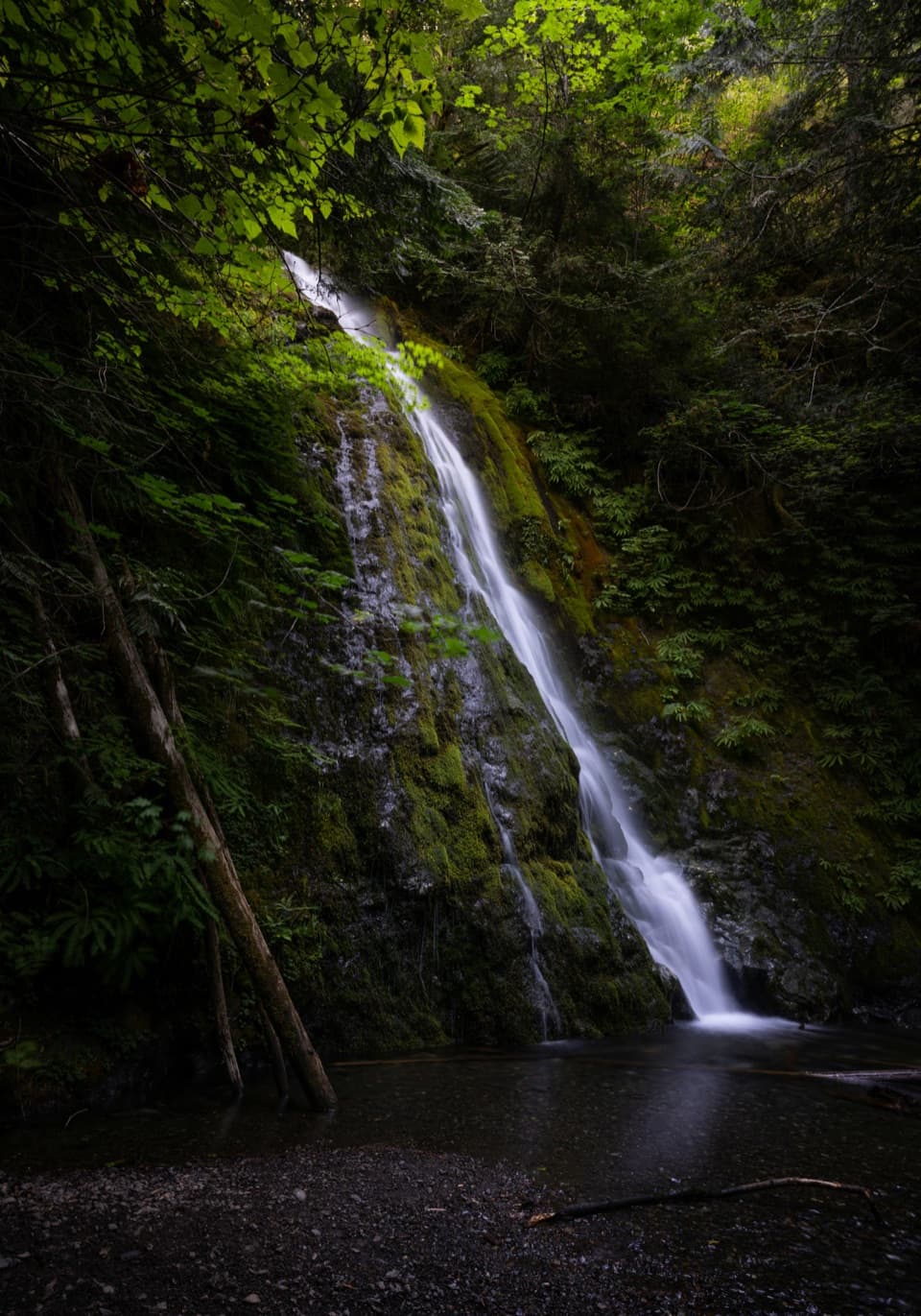 Sight · 4.2 mi awayMadison FallsA short Elwha Valley walk ends below a 60-foot waterfall.
 Sight · 4.5 mi awayThe Beaumont CabinA preserved log cabin steps from the park’s main visitor center.
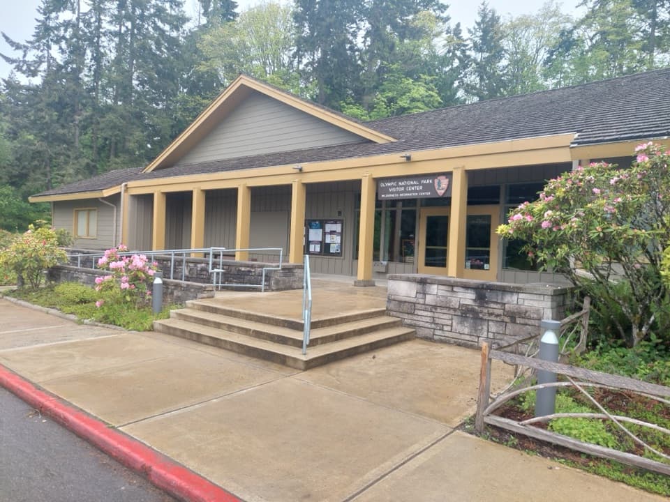 Visitor center · 4.5 mi awayOlympic National Park Visitor CenterA smart first stop for maps, route advice, and wilderness plans
 Sight · 4.6 mi awayOlympic National Park Welcome Sign, Port AngelesA quick first photo, with a welcome in Klallam too.
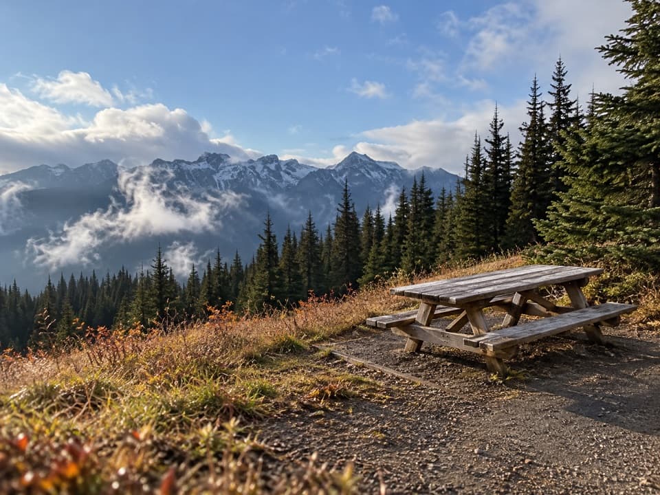 Picnic area · 5.9 mi awayHurricane Hill Picnic Areas A and BA summer picnic stop with mountain views along Hurricane Hill Road.
Parkwolf’s Olympic ranking

The audio tour guide for the drive, plus offline maps, trails, and wildlife heatmaps for when the signal drops.