
Place · 0 mi away
Easy
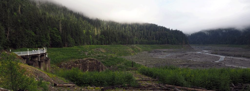
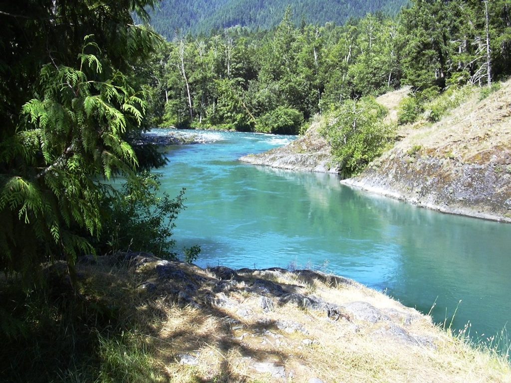
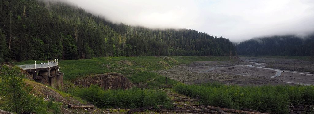
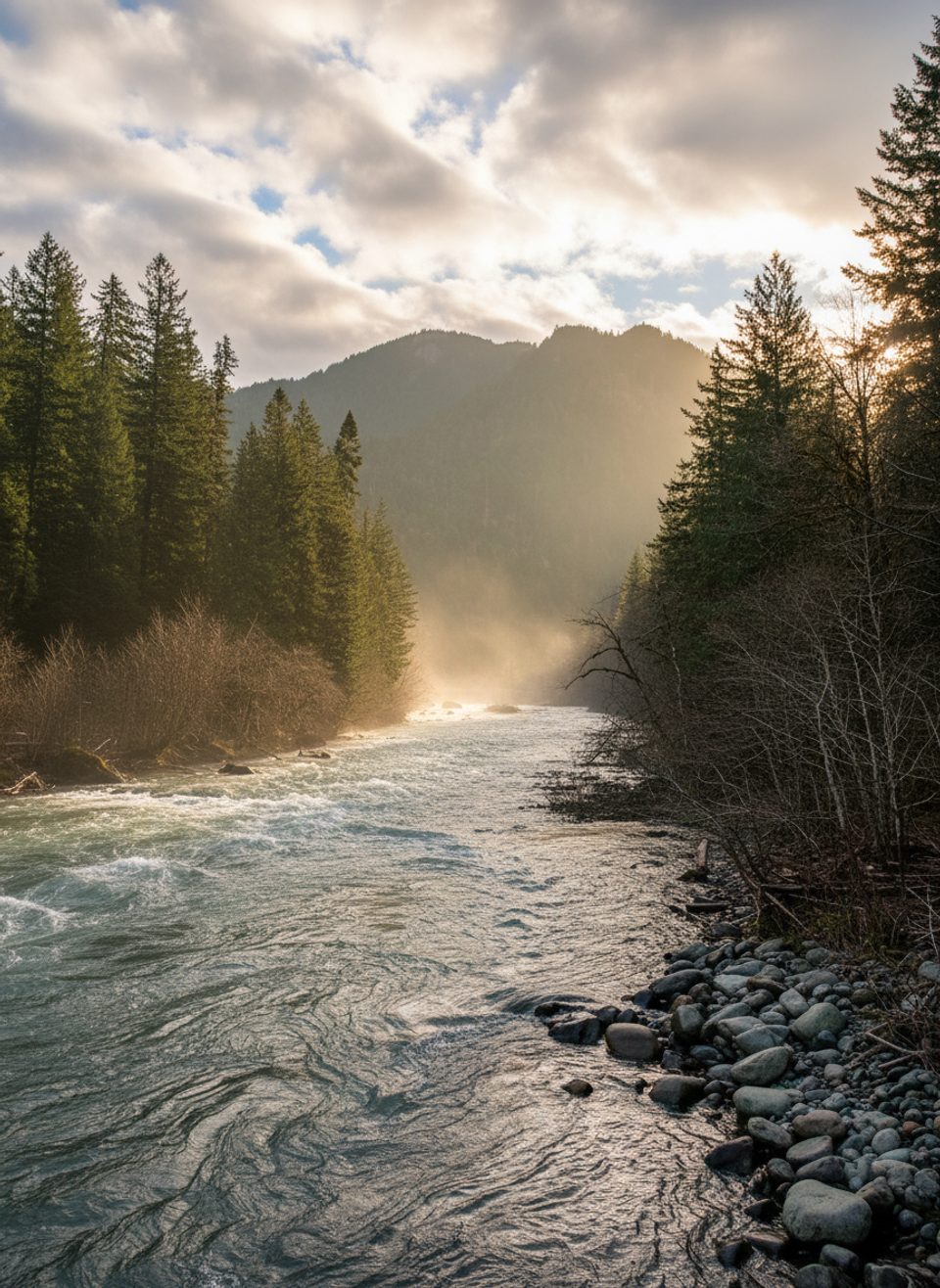
This route is all about big river restoration, not just a pretty stroll. You’ll travel the closed Olympic Hot Springs Road to stand on the former Glines Canyon Dam spillway and peer into a narrow, 200‑foot‑deep chasm where the Elwha River now runs free. Interpretive signs explain the 2011–2014 dam removal and the transformation of the former Lake Mills reservoir—powerful context to pair with wide valley views and that blue‑green torrent below.
Plan for roughly 7.1–7.4 miles round trip along the gated road from the Madison Falls parking area. It’s mostly flat and straightforward, with a few forest detours around old washouts and a steeper push near the overlook. Expect about 300–800 feet of total gain depending on the current bypasses. The corridor feel is real—this is an old roadbed, not singletrack—but the payoff at the overlook is undeniably compelling.
Bicycles are allowed on the closed road, and many visitors ride to make the approach quicker. Surfaces can be rough in places, so wider tires help. At the overlook, linger for the views up the Elwha Valley where Lake Mills once spread, then down into the tight canyon. If you’re curious to explore more, there are additional paths in the nearby Smokey Bottom/West Lake Mills area, but names and connections can be confusing—bring a current map if you venture beyond the viewpoint.
The dam here (built 1925–1927) once blocked salmon and reshaped the valley. Standing on the spillway and reading the on‑site interpretive signs is one of the clearest, most accessible ways to grasp the scale of the Elwha River Restoration Project.
Year‑round is possible, with spring through fall offering the easiest conditions. Aim for early morning or late afternoon for softer light in the canyon and fewer people; weekends see more hikers and cyclists when weather is good.
Park at the Madison Falls parking area at the gate on Olympic Hot Springs Road; start south from the gate toward Glines Canyon.
Expect rough road sections and short detours around washouts, a steeper climb near the overlook, rapidly changing weather, and no services along the route. Check current NPS conditions for closures before you go.
Place · 0 mi away
Place · 0 mi away
Place · 1.8 mi away
Place · 2.7 mi away
Challenging · 0 mi away
Easy · 0 mi away
Moderate · 0.7 mi away
Moderate · 4.2 mi away

Parkwolf Tour Guide
