Cascade Rock Trail in Olympic National Park

Olympic National Park, WA

Cascade Rock Trail

A steep forest climb to a mossy rock above the Elwha.

Length
4mi
Time
4hr
Elev. change
1,220ft
Difficulty
Challenging
  • No dogs
  • High point 1,850 ft

Hear the audio tour

Madison Falls: A Short Walk in the Elwha

Overview

About Cascade Rock Trail

Why go

  • Open mossy granite and broad Elwha Valley views.
  • The false summit offers a partial view before the final climb.

Heads up

  • Steep, sometimes slick footing near the top.
  • The false summit is not the true destination.

Map & elevation

The route

Loading the Olympic map
Full map
Elevation630–1,850 ft
TrailheadCascade Rock Trail Junction on the Elwha Road Bypass48.03149, -123.58748
Keep this map with you offline in the Parkwolf app

Plan your hike

Before you go

Parking

Park at Madison Falls Trailhead on Olympic Hot Springs Road. Walk the signed bypass and road to the Cascade Rock junction; that access adds variable mileage beyond the four-mile trail figure. An accessible vault toilet and picnic area are at Madison Falls.

Safety

The upper climb is steep and can be slick. Continue roughly half a mile beyond the grassy false summit to reach Cascade Rock; a narrow final section skirts a rock formation on climber’s left.

6 active Olympic alerts

  • CautionUS 101 Hoh River Bridge reduced to one laneUS 101 at the Hoh River Bridge is restricted to one lane of alternating traffic; obey the signals and 25 mph speed limit.Official details
  • ClosureStaircase wilderness trails and campsites remain closedWilderness trails and campsites around Staircase remain closed during recovery from the Bear Gulch Fire; the developed Staircase area, including the Rapids Loop, campground, and ranger station, is…Official details
See all 6 alerts
A park ranger sits on a dash-mounted phone, talking, as Parkwolf’s Tour Guide plays “Army Cutworm Moths: A Grizzly Bear Buffet” on Grand Loop Road below Dunraven Pass in Yellowstone
Parkwolf Tour GuideThe highest, rockiest slopes around here are a summer buffet for grizzly bears.

Olympic Tour Guide

Your drive to Cascade Rock Trail, narrated.

Parkwolf is a GPS audio tour guide for Olympic National Park. As you drive, it chimes in with what’s ahead: hidden gems, upcoming stops, history, geology, and wildlife, right through your car’s speakers.

See the Olympic audio tour

Recorded for this area

Madison Falls: A Short Walk in the Elwha
0:00 / 0:33
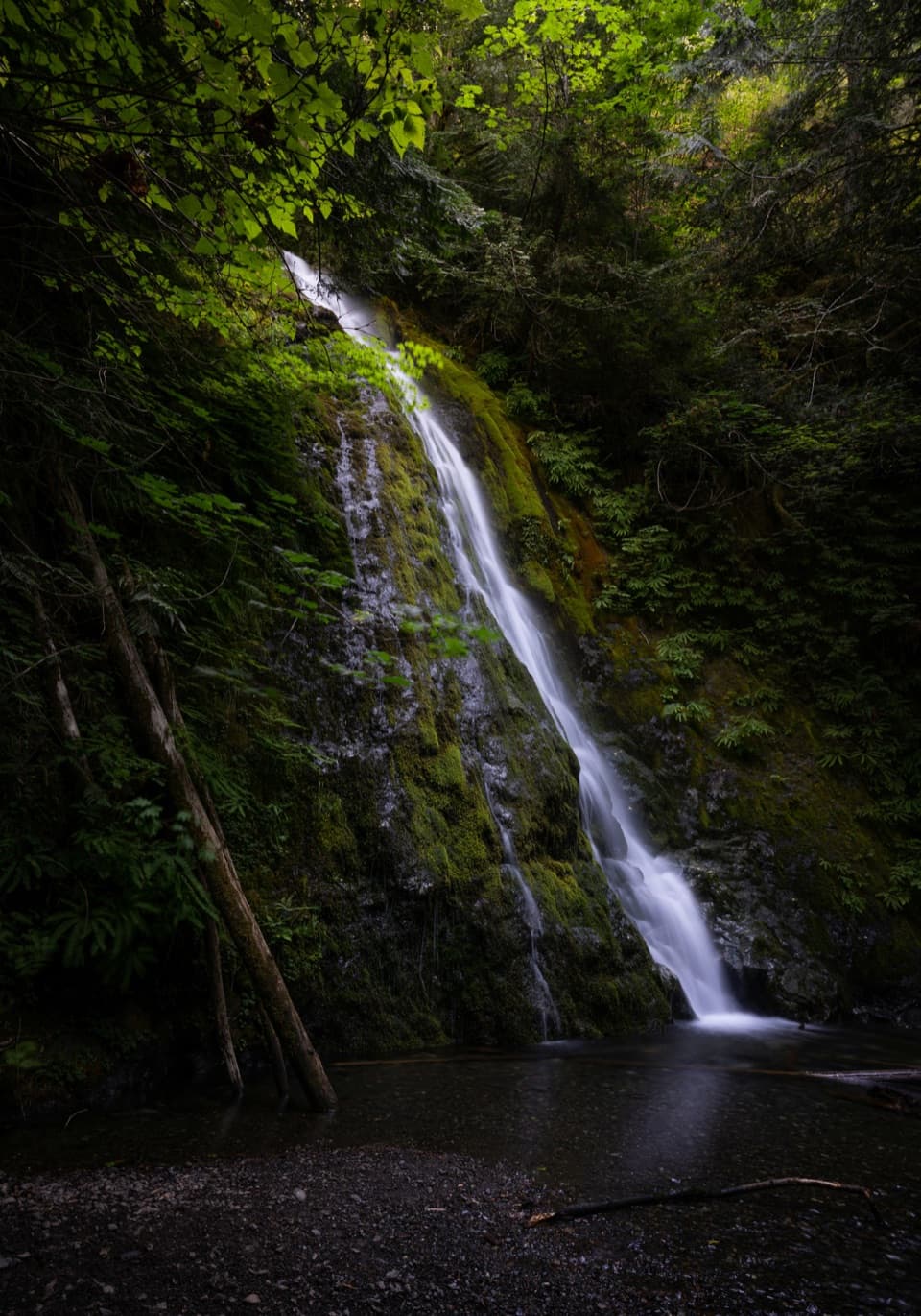
“You're approaching Madison Falls, a good choice for a waterfall stop without a long hike. Allow fifteen to twenty minutes for the short walk and a pause beside the sixty-foot cascade.”

Plays on the road 0.7 mi from the trailhead in the Parkwolf Olympic Tour Guide.

More stories near here in the app

  • How a Salmon Handles Salt
  • The Sapsucker’s Sap Wells
  • Hurricane Hill: Summit or Picnic
  • Hurricane Ridge
  • 204 audio storiesacross Olympic’s roads, triggered by GPS as you drive
  • Wildlife heatmapsfor Olympic Marmot, Humpback Whale, Grey Whale, and 13 more
  • Works offlinemaps, 148 trails, 94 places, and audio download before you lose signal
  • CarPlay readysimple controls built for the drive
★★★★★
“Fantastic app with many points of information… It’s great to just turn on while you’re driving and it gives you an audio tour of the national Park. We love it!!!!”
JMJamesApp Store review
Download Parkwolf on the App StoreGet Parkwolf on Google Play

4.7 from 8,600+ ratings

Trail guide

Hiking Cascade Rock Trail

Is this the half-day climb?Cascade Rock Trail is a steep, forested out-and-back to a mossy granite viewpoint above Elwha…

Cascade Rock Trail is a steep, forested out-and-back to a mossy granite viewpoint above Elwha Valley. The named trail is about 2 miles each way, or 4 miles round trip, from the Cascade Rock junction reached from Madison Falls by road and signed bypass. Allow about four hours on the trail, with extra time for that access walk. Published figures vary; this 4-mile total follows the mapped Cascade Rock tread and does not count the approach from the parking area. It is a worthwhile hard climb if you want a forest ascent and an open valley view, but it is not a quick overlook stop.

Keep going past the false summitThe climb first reaches a grassy high point with a short side path to a partial Elwha Valley…

The climb first reaches a grassy high point with a short side path to a partial Elwha Valley view. That is not Cascade Rock: continue roughly another half mile to the open rock and broader view. The final approach steepens and narrows, and a rock formation can make the trail appear to end; the easier line skirts it on climber’s left. Footing can be slick near the top, so save energy for that last pitch.

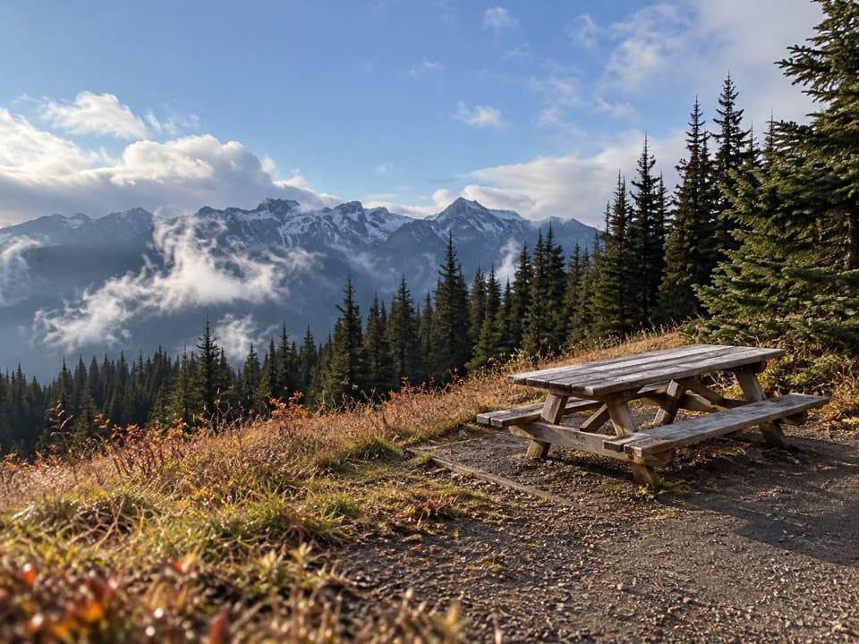
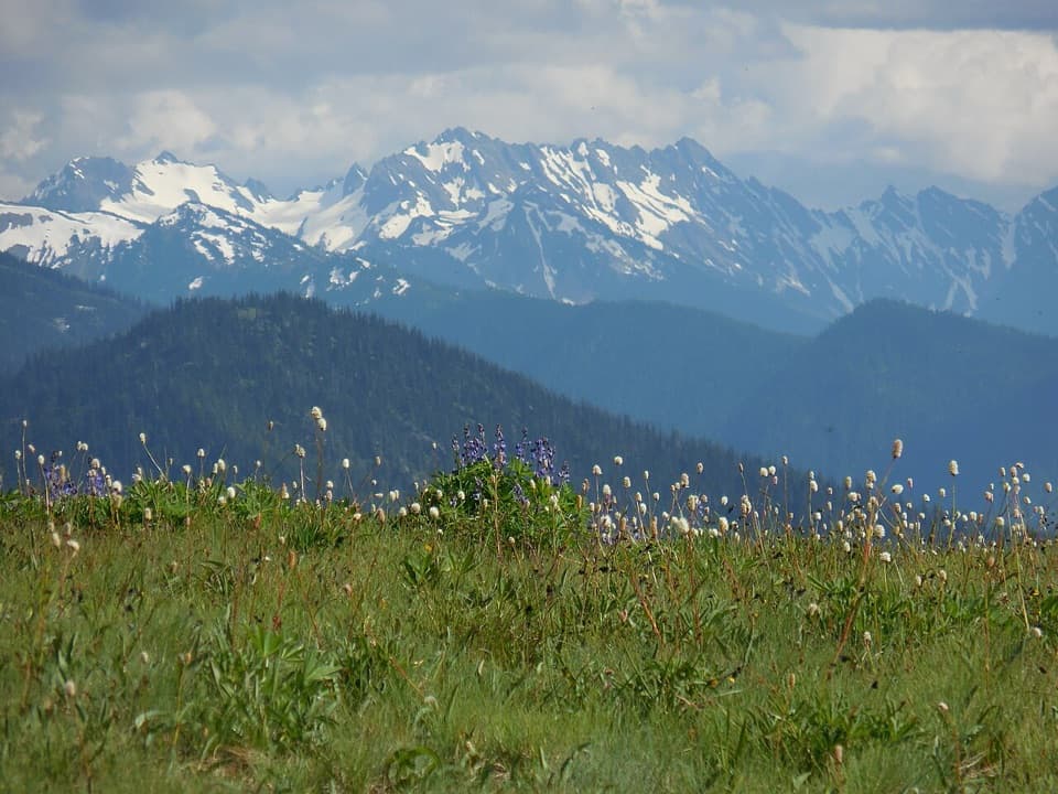
The Elwha belowFrom the open, mossy granite, look across the Elwha watershed.

From the open, mossy granite, look across the Elwha watershed. Elwha Dam, built in 1913, and Glines Canyon Dam, built in 1927, blocked salmon runs until both dams were removed by 2014. Salmon were spawning back in the park within months of removal. For a photo, keep some granite in the foreground with the valley beyond; it helps show the viewpoint’s setting.

Start and rulesPark at Madison Falls Trailhead and walk the signed bypass and road to the Cascade Rock…

Park at Madison Falls Trailhead and walk the signed bypass and road to the Cascade Rock junction; that access adds variable mileage beyond the four-mile trail figure. Madison Falls has an accessible vault toilet and picnic area, but neither is on the climb. Dogs are allowed on the access roads and bypass on a leash no longer than six feet, but not on Cascade Rock Trail.

Wildlife

Wildlife in Olympic

All Olympic wildlife maps

Sighting maps show where each species has been reported across Olympic. Wildlife moves, so no sighting is guaranteed.

Keep exploring

Near Cascade Rock Trail

See it all on the map

Trails that start nearby

Places near the trailhead

Parkwolf’s Olympic ranking

Top-rated trails in Olympic

All 148 trails
  1. 1Hall of Mosses TrailEasy · 0.8 mi
  2. 2Hurricane Hill TrailModerate · 3.3 mi
  3. 3Sol Duc Falls Nature TrailEasy · 1.6 mi
  4. 4High Divide Loop (Seven Lakes Basin)Challenging · 19 mi
  5. 5Hoh River TrailChallenging · 34.8 mi
  6. 6Shi Shi Beach and Point of Arches TrailModerate · 8 mi

Take Parkwolf to Olympic.

The audio tour guide for the drive, plus offline maps, trails, and wildlife heatmaps for when the signal drops.

4.7 from 8,600+ ratings

Download Parkwolf on the App StoreGet Parkwolf on Google Play