Winter access follows the road
Hurricane Ridge Road controls access to the overlook. In winter, the road follows a weather-dependent schedule and vehicles must carry tire chains. Check the park's current road status before driving up.
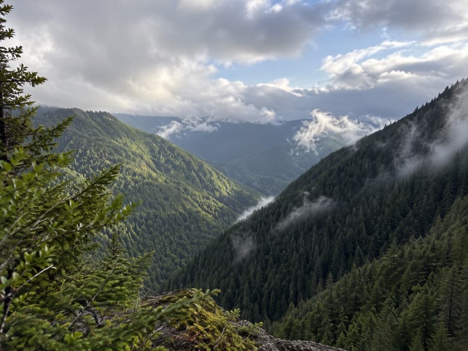
Sight · Olympic National Park
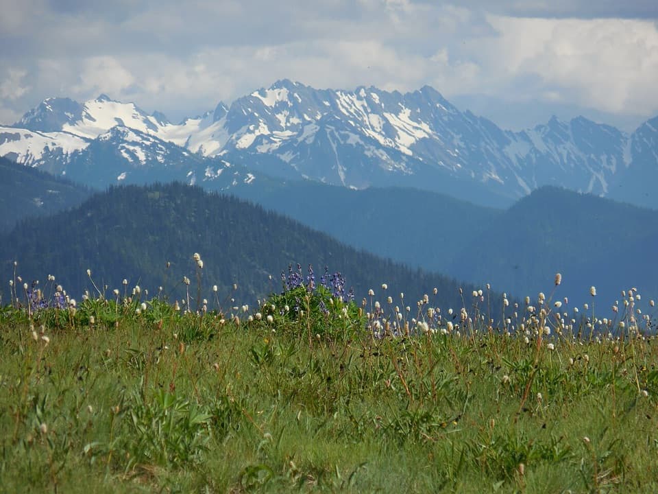
A quick mountain view on the way up Hurricane Ridge Road.
Overview
Map
Plan your stop

The highest, rockiest slopes around here are a summer buffet for grizzly bears.
Olympic Tour Guide
Parkwolf is a GPS audio tour guide for Olympic National Park. As you drive, it chimes in with what’s ahead: hidden gems, upcoming stops, history, geology, and wildlife, right through your car’s speakers.
See the Olympic audio tourRecorded for this place
North Peninsula Overlook: A Quick Valley View“North Peninsula Overlook is coming up, with a short paved path to a view across the forested valley toward the Strait of Juan de Fuca. Stop if the distant view is clear; fog can hide the water.”
Plays as you drive up to Water Journey Overlook in the Parkwolf Olympic Tour Guide.
More stories near here in the app
“Fantastic app with many points of information… It’s great to just turn on while you’re driving and it gives you an audio tour of the national Park. We love it!!!!”


Guide
Water Journey Overlook is a small viewpoint reached by a short path from Hurricane Ridge Road, on the drive from Port Angeles toward Hurricane Ridge. The trail leads to an Olympic Mountains view; on clear days visitors also report seeing across the Strait of Juan de Fuca toward Vancouver Island. Treat it as a brief stop on the way up, not a substitute for the larger mountain panorama farther along the road.
The view opens from a small trail off the roadside pullout. Frame the valley between its forested ridges to show the depth of the scene. Fog and low clouds can hide the Strait and distant land, so this is a better stop when visibility is open than when you are counting on the far view.
Wildlife
 710 sightingsOlympic MarmotMost seen around 11 AMSighting map
 30 sightingsHumpback WhaleMost seen around 6 PMSighting map
 42 sightingsGrey WhaleMost seen around noonSighting map
 23 sightingsMountain LionMost seen around 8 PMSighting map
 71 sightingsMountain GoatMost seen around 7 AMSighting map
 306 sightingsBald EagleMost seen around 11 AMSighting map
Sighting maps show where each species has been reported across Olympic. Wildlife moves, so no sighting is guaranteed.
Keep exploring
 EasyLookout Rock Nature Trail0.1 mi · 12 min · 0.1 mi awayA quick paved spur to a snowy ridge above a forested valley.
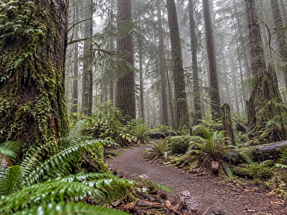 ModerateHeart O' the Forest Trail4.6 mi · 2 hr · 2.9 mi awayOld growth and a streamside boardwalk give way to a rougher finish.
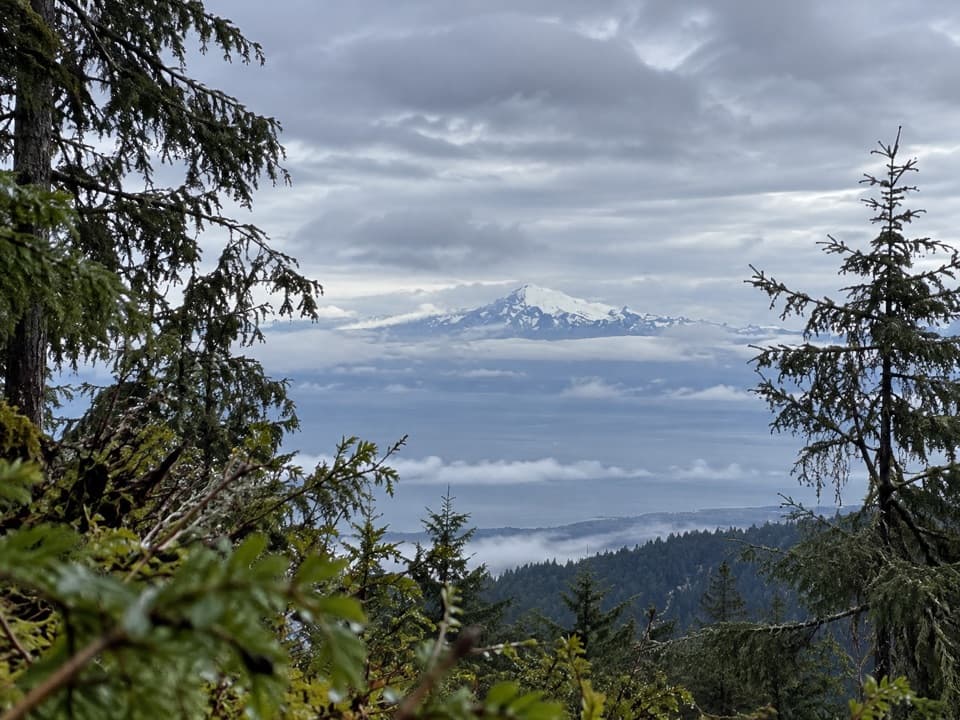 ChallengingHeather Park Trail10 mi · 9 hr · 3.4 mi awayFive miles uphill to wildflower meadows; nearly 4,000 feet of climb.
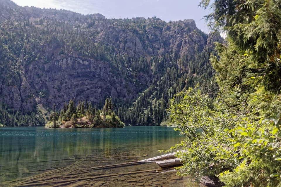 ModerateLake Angeles Trail7 mi · 5.5 hr · 3.4 mi awayA steep forest climb to an alpine lake with a central island.
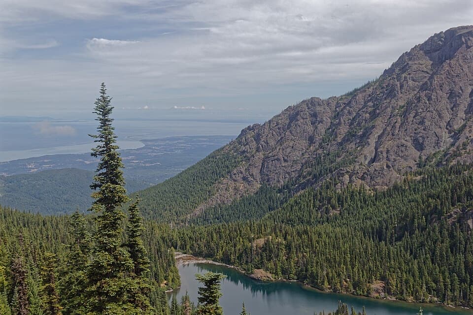 ChallengingHeather Park–Lake Angeles Loop12.5 mi · 9 hr · 3.4 mi awayA hard ridge loop from flower meadows to a mountain lake.
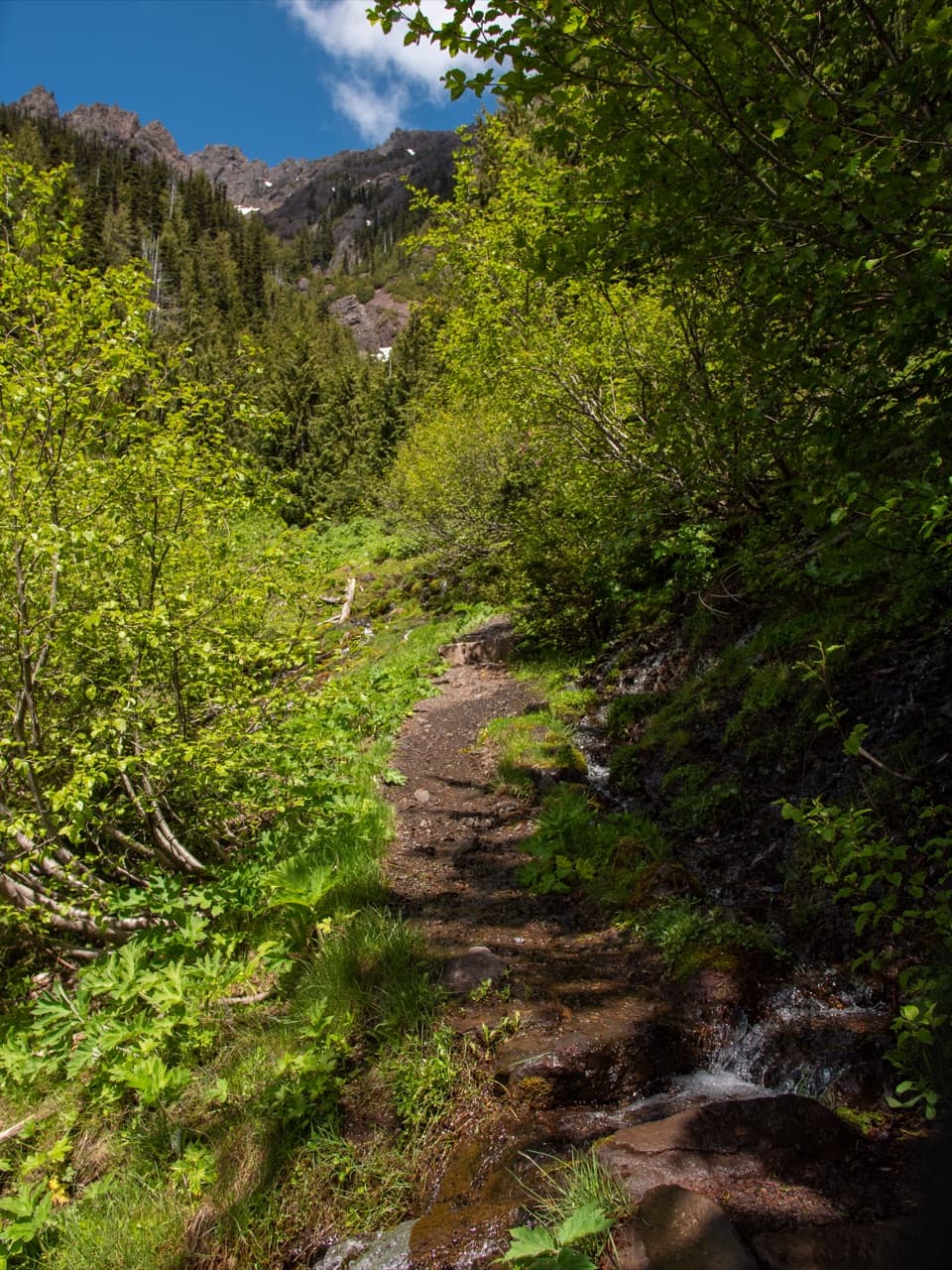 ChallengingSwitchback Trail3.1 mi · 3 hr · 4.5 mi awayA steep, direct climb to wildflower meadows and Klahhane Ridge.
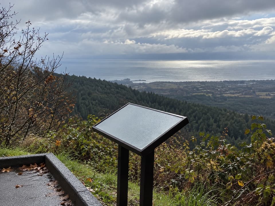 Sight · 0.1 mi awayNorth Peninsula OverlookA roadside pause for the Strait and a forested valley.
 Sight · 2 mi awayMorse Creek OverlookA quick roadside geology stop with an ice-age lake and pillow basalt.
 Campground · 3.2 mi awayHeart O' the Hills CampgroundA quiet forest base for Hurricane Ridge and a woodland walk.
 Entrance station · 3.3 mi awayHeart O' the Hills Entrance StationA quick fee stop before the road climbs toward Hurricane Ridge.
Parkwolf’s Olympic ranking

The audio tour guide for the drive, plus offline maps, trails, and wildlife heatmaps for when the signal drops.