Parking
Use the Switchback Trailhead on Hurricane Ridge Road. The sources reviewed do not identify a dedicated lot or parking capacity; the Hurricane Ridge Visitor Center is a separate, longer starting point.
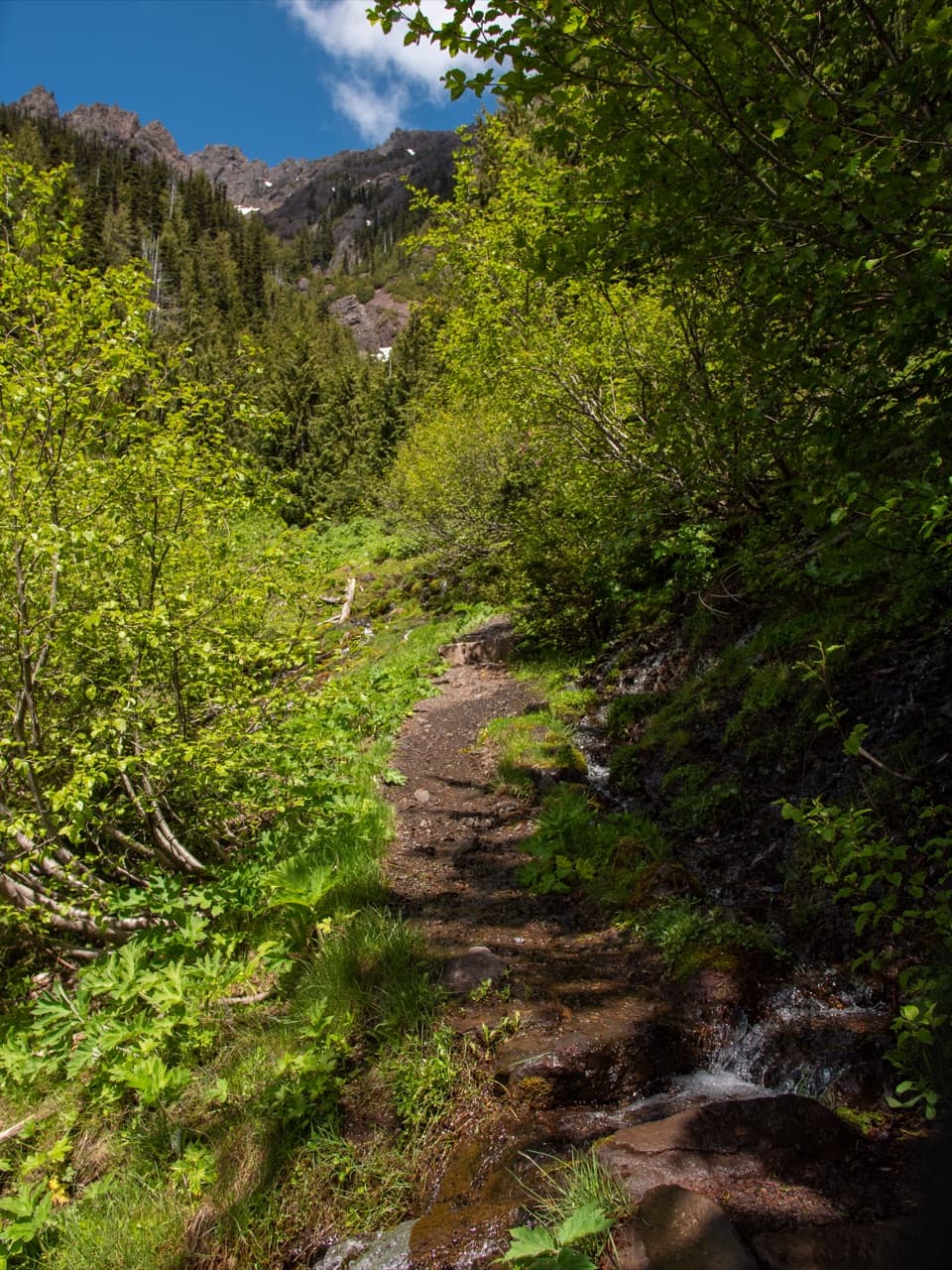
Olympic National Park, WA
A steep, direct climb to wildflower meadows and Klahhane Ridge.
Overview
Map & elevation
Plan your hike

The highest, rockiest slopes around here are a summer buffet for grizzly bears.
Olympic Tour Guide
Parkwolf is a GPS audio tour guide for Olympic National Park. As you drive, it chimes in with what’s ahead: hidden gems, upcoming stops, history, geology, and wildlife, right through your car’s speakers.
See the Olympic audio tourRecorded for this trailhead
Switchback Trail to Victor Pass“Up ahead is the Switchback Trailhead, the short, steep way to Klahhane Ridge. Allow about three hours for the three point one mile return to Victor Pass, with fifteen hundred feet of climbing.”
Plays as you drive up to this trailhead in the Parkwolf Olympic Tour Guide.
More stories near here in the app
“Fantastic app with many points of information… It’s great to just turn on while you’re driving and it gives you an audio tour of the national Park. We love it!!!!”


Trail guide
Switchback Trail is a 3.1-mile out-and-back from Hurricane Ridge Road to Victor Pass on Klahhane Ridge. Its 1.54-mile mapped path climbs about 1,500 feet; allow around three hours for the ascent, time at the ridge, and return. This is the shortest, steepest approach to Klahhane Ridge, and a good pick if you want the climb without starting at the Hurricane Ridge Visitor Center.
The first 0.6 mile gains roughly 700 feet on shaded switchbacks through subalpine mixed-conifer forest, reaching the Mount Angeles Trail junction. Above it, the trail climbs open meadows with summer Indian paintbrush, lupine, phlox, and glacier lilies. Views open across Morse Creek Valley toward Hurricane Ridge, so the upper climb has a different feel from the shaded start.
Victor Pass sits at 5,850 feet, where Mount Angeles rises to the west and tilted sedimentary and volcanic beds show on its shoulder. Pillow lavas along the route formed on the floor of the Pacific Ocean. The direct Switchback route reaches the ridge at Victor Pass; beyond it, the longer Klahhane Ridge trail narrows along exposed cliffs and ledges. That continuation is outside the 3.1-mile estimate.
Start at the Switchback Trailhead on Hurricane Ridge Road. The separate Hurricane Ridge Visitor Center route follows Sunrise Ridge before joining the switchback segment. The sources reviewed don't identify a dedicated parking lot or its capacity, so check the park map and current road conditions before setting out. Pets aren't allowed on this trail under Olympic's normal trail rules.
Wildlife
 710 sightingsOlympic MarmotMost seen around 11 AMSighting map
 30 sightingsHumpback WhaleMost seen around 6 PMSighting map
 42 sightingsGrey WhaleMost seen around noonSighting map
 23 sightingsMountain LionMost seen around 8 PMSighting map
 71 sightingsMountain GoatMost seen around 7 AMSighting map
 306 sightingsBald EagleMost seen around 11 AMSighting map
Sighting maps show where each species has been reported across Olympic. Wildlife moves, so no sighting is guaranteed.
Keep exploring
 EasyHigh Ridge Trail0.5 mi · 36 min · 2 mi awayA half-mile loop to 360-degree views above Hurricane Ridge.
 EasyCirque Rim Trail0.5 mi · 30 min · 2 mi awayA half-mile paved ridge walk to a Strait overlook.
 ModerateKlahhane Ridge Trail7.6 mi · 5.5 hr · 2.1 mi awayA long ridgeline approach saves its steepest climb for the end.
 ChallengingWolf Creek Trail8 mi · 5.5 hr · 2.4 mi awayBailey Range views reward a long descent through alpine flowers.
 ModerateHurricane Hill Trail3.3 mi · 2.5 hr · 2.7 mi awayPaved switchbacks to Bailey Range peaks and the Strait.
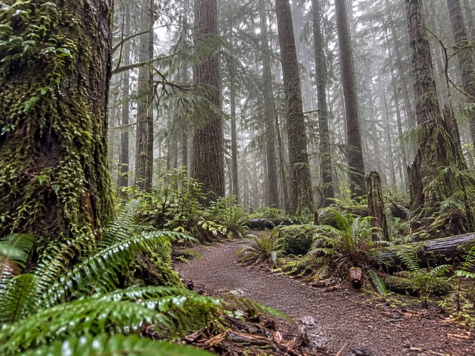 ModerateHeart O' the Forest Trail4.6 mi · 2 hr · 3.6 mi awayOld growth and a streamside boardwalk give way to a rougher finish.
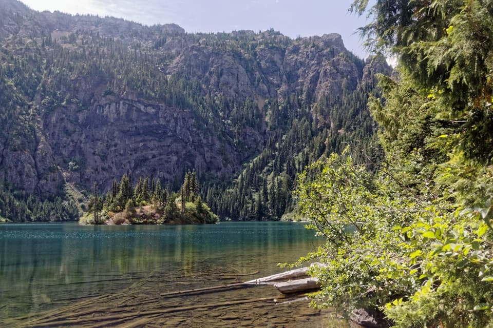 ModerateLake Angeles Trail7 mi · 5.5 hr · 3.8 mi awayA steep forest climb to an alpine lake with a central island.
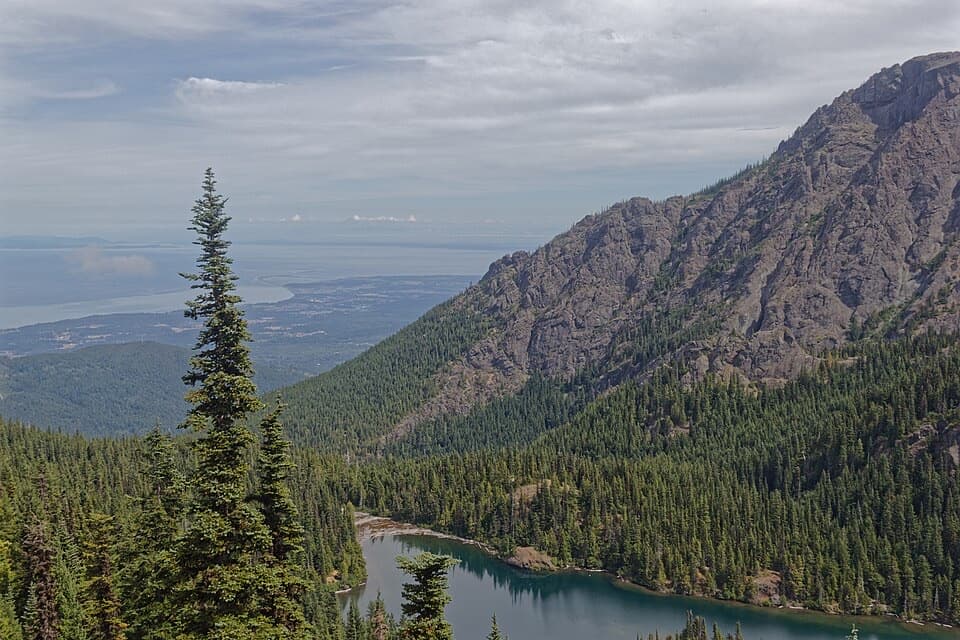 ChallengingHeather Park–Lake Angeles Loop12.5 mi · 9 hr · 3.8 mi awayA hard ridge loop from flower meadows to a mountain lake.
 Sight · 2.1 mi awayCirque Rim OverlookA quick paved walk to broad views across the Strait.
 Sight · 2.2 mi awayHurricane RidgeBailey Range views from the road-end meadow.
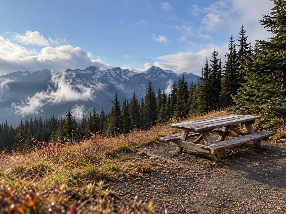 Picnic area · 2.6 mi awayHurricane Hill Picnic Areas A and BA summer picnic stop with mountain views along Hurricane Hill Road.
 Sight · 2.8 mi awayMorse Creek OverlookA quick roadside geology stop with an ice-age lake and pillow basalt.
 Campground · 3.7 mi awayHeart O' the Hills CampgroundA quiet forest base for Hurricane Ridge and a woodland walk.
 Entrance station · 3.8 mi awayHeart O' the Hills Entrance StationA quick fee stop before the road climbs toward Hurricane Ridge.
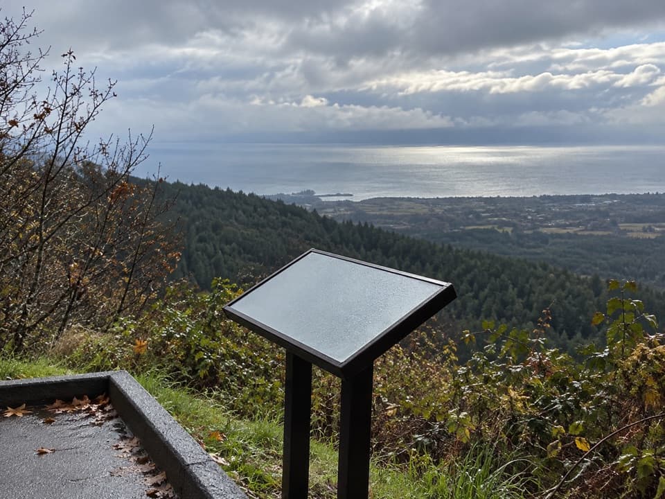 Sight · 4.5 mi awayNorth Peninsula OverlookA roadside pause for the Strait and a forested valley.
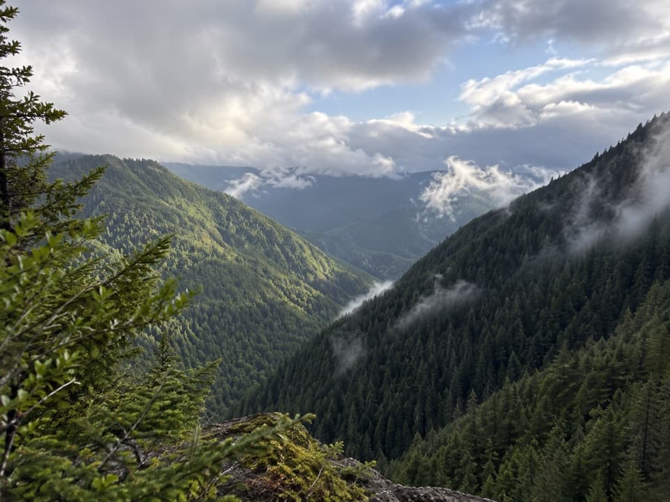 Sight · 4.5 mi awayWater Journey OverlookA quick mountain view on the way up Hurricane Ridge Road.
Parkwolf’s Olympic ranking

The audio tour guide for the drive, plus offline maps, trails, and wildlife heatmaps for when the signal drops.




