Parking
Use the roadside surface parking area beside the northwest end of the path on Hurricane Ridge Road.

Olympic National Park, WA
A quick paved spur to a snowy ridge above a forested valley.
Overview
Map & elevation
Plan your hike

The highest, rockiest slopes around here are a summer buffet for grizzly bears.
Olympic Tour Guide
Parkwolf is a GPS audio tour guide for Olympic National Park. As you drive, it chimes in with what’s ahead: hidden gems, upcoming stops, history, geology, and wildlife, right through your car’s speakers.
See the Olympic audio tourRecorded for this trailhead
North Peninsula Overlook: A Quick Valley View“North Peninsula Overlook is coming up, with a short paved path to a view across the forested valley toward the Strait of Juan de Fuca. Stop if the distant view is clear; fog can hide the water.”
Plays as you drive up to this trailhead in the Parkwolf Olympic Tour Guide.
More stories near here in the app
“Fantastic app with many points of information… It’s great to just turn on while you’re driving and it gives you an audio tour of the national Park. We love it!!!!”


Trail guide
Lookout Rock Nature Trail is a paved out-and-back from a roadside parking area on Hurricane Ridge Road to the Lookout Rock viewpoint. It is about 0.1 mile total, and 10 to 15 minutes is enough to walk out, take in the open view and return. The route is for a quick look across a forested valley toward snow-streaked peaks, not a half-day hike.
From the parking area, follow the paved path about 0.05 mile southeast to Lookout Rock, then return along the same tread. The 0.1-mile round trip is a best estimate: the mapped path is about 0.05 mile each way, while the short distance listing does not explain its measurement convention. The path is reported as paved, but its grade and obstacles have not been verified, so do not treat that alone as an accessibility rating. The valley and distant peaks are the main view; including both in a photo gives the ridge some scale.
The parking area sits beside Hurricane Ridge Road at the northwest end of the path. The road is open throughout summer; in winter it is scheduled Friday through Sunday and holiday Mondays, weather and road conditions permitting. All vehicles must carry tire chains during winter. Check the road status before driving up. Pets are not allowed on this trail under park rules.
Wildlife
 710 sightingsOlympic MarmotMost seen around 11 AMSighting map
 30 sightingsHumpback WhaleMost seen around 6 PMSighting map
 42 sightingsGrey WhaleMost seen around noonSighting map
 23 sightingsMountain LionMost seen around 8 PMSighting map
 71 sightingsMountain GoatMost seen around 7 AMSighting map
 306 sightingsBald EagleMost seen around 11 AMSighting map
Sighting maps show where each species has been reported across Olympic. Wildlife moves, so no sighting is guaranteed.
Keep exploring
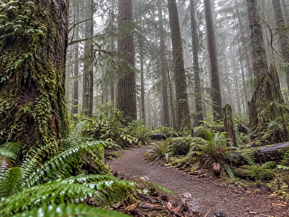 ModerateHeart O' the Forest Trail4.6 mi · 2 hr · 2.9 mi awayOld growth and a streamside boardwalk give way to a rougher finish.
 ChallengingHeather Park Trail10 mi · 9 hr · 3.3 mi awayFive miles uphill to wildflower meadows; nearly 4,000 feet of climb.
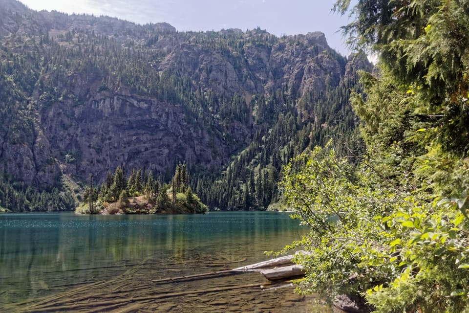 ModerateLake Angeles Trail7 mi · 5.5 hr · 3.3 mi awayA steep forest climb to an alpine lake with a central island.
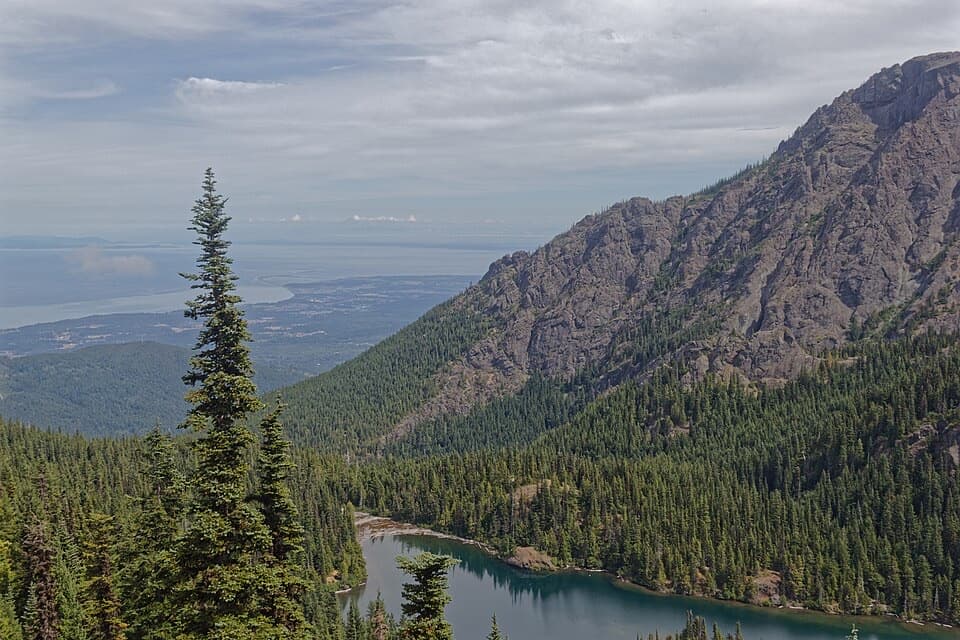 ChallengingHeather Park–Lake Angeles Loop12.5 mi · 9 hr · 3.3 mi awayA hard ridge loop from flower meadows to a mountain lake.
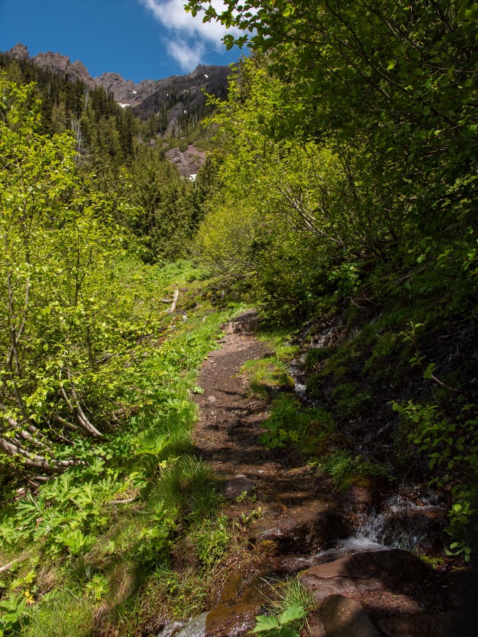 ChallengingSwitchback Trail3.1 mi · 3 hr · 4.5 mi awayA steep, direct climb to wildflower meadows and Klahhane Ridge.
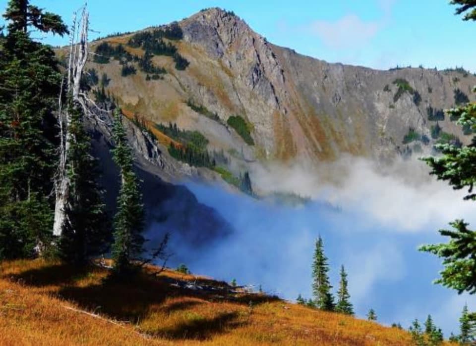 ModerateEagle Point Trail1.4 mi · 1.5 hr · 5.9 mi awayA faint 1.4-mile route to Eagle Point's open summit
 EasyHigh Ridge Trail0.5 mi · 36 min · 6.4 mi awayA half-mile loop to 360-degree views above Hurricane Ridge.
 EasyCirque Rim Trail0.5 mi · 30 min · 6.4 mi awayA half-mile paved ridge walk to a Strait overlook.
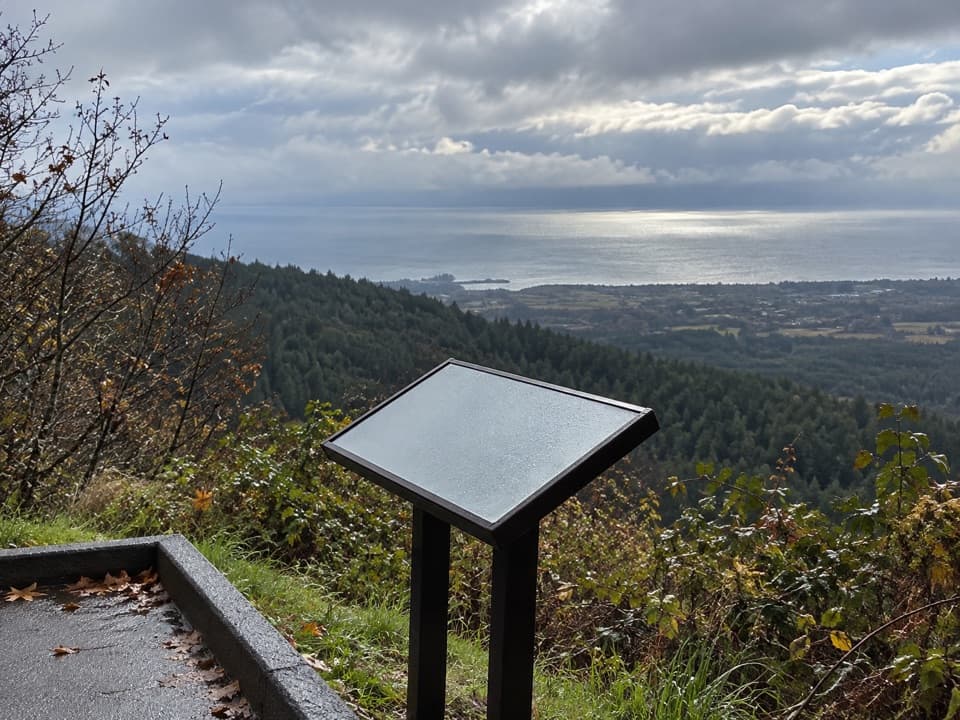 Sight · At the trailheadNorth Peninsula OverlookA roadside pause for the Strait and a forested valley.
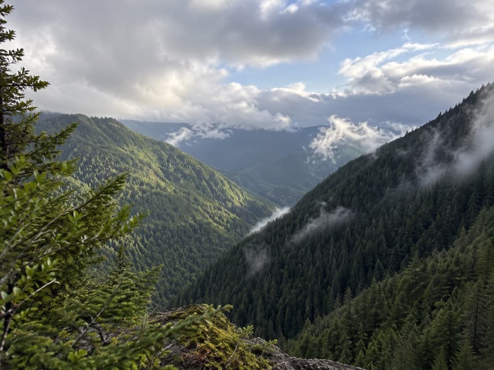 Sight · 0.1 mi awayWater Journey OverlookA quick mountain view on the way up Hurricane Ridge Road.
 Sight · 2 mi awayMorse Creek OverlookA quick roadside geology stop with an ice-age lake and pillow basalt.
 Campground · 3.2 mi awayHeart O' the Hills CampgroundA quiet forest base for Hurricane Ridge and a woodland walk.
 Entrance station · 3.2 mi awayHeart O' the Hills Entrance StationA quick fee stop before the road climbs toward Hurricane Ridge.
 Sight · 6.5 mi awayThe Beaumont CabinA preserved log cabin steps from the park’s main visitor center.
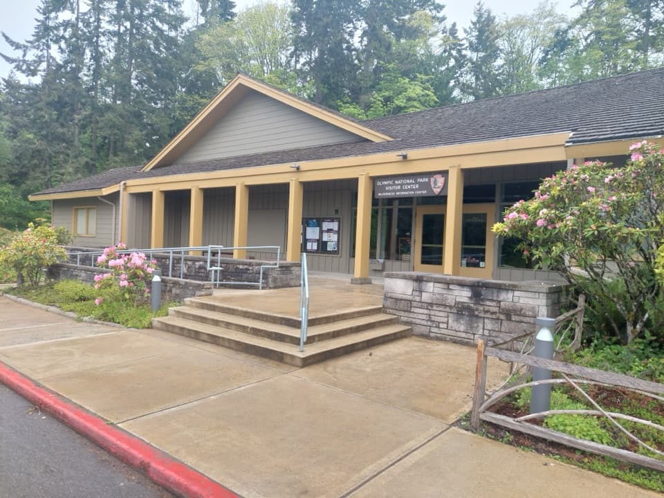 Visitor center · 6.5 mi awayOlympic National Park Visitor CenterA smart first stop for maps, route advice, and wilderness plans
 Sight · 6.5 mi awayCirque Rim OverlookA quick paved walk to broad views across the Strait.
Parkwolf’s Olympic ranking

The audio tour guide for the drive, plus offline maps, trails, and wildlife heatmaps for when the signal drops.





