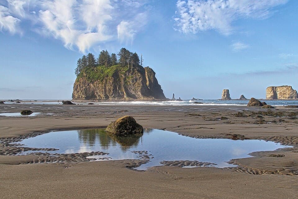
Cirque Rim Overlook in Olympic National Park

Sight · Olympic National Park

Cirque Rim Overlook

A quick paved walk to broad views across the Strait.

Photo: Wikimedia Commons
Type
Sight
Nearest trail
0.1 mi
Audio stories
4 nearby
  • Scenic viewpoint
  • Parking
  • Trailhead

Hear the audio tour

Hurricane Ridge

Overview

About Cirque Rim Overlook

Why stop

  • An easy paved route to a broad north-facing panorama
  • Fire-history panels make it worth a slower look

Heads up

  • The exposed view depends on clear weather

Map

Where it is

Loading the Olympic map
Full map
SightCirque Rim Overlook47.97095, -123.49813
Keep this map with you offline in the Parkwolf app

Plan your stop

Before you go

6 active Olympic alerts

  • InfoNo potable water at Hurricane RidgeMentions Hurricane Ridge, referenced in this guideNo potable water is available at Hurricane Ridge; bring your own drinking water.Official details
  • CautionUS 101 Hoh River Bridge reduced to one laneUS 101 at the Hoh River Bridge is restricted to one lane of alternating traffic; obey the signals and 25 mph speed limit.Official details

See all 6 alerts
A park ranger sits on a dash-mounted phone, talking, as Parkwolf’s Tour Guide plays “Army Cutworm Moths: A Grizzly Bear Buffet” on Grand Loop Road below Dunraven Pass in Yellowstone
Parkwolf Tour GuideThe highest, rockiest slopes around here are a summer buffet for grizzly bears.

Olympic Tour Guide

Your drive to Cirque Rim Overlook, narrated.

Parkwolf is a GPS audio tour guide for Olympic National Park. As you drive, it chimes in with what’s ahead: hidden gems, upcoming stops, history, geology, and wildlife, right through your car’s speakers.

See the Olympic audio tour

Recorded for this place

Hurricane Ridge
0:00 / 0:33
“You're approaching Hurricane Ridge, where the Bailey Range panorama opens up right beside the parking area. You don't need a long hike for this one.”

Plays as you drive up to Cirque Rim Overlook in the Parkwolf Olympic Tour Guide.

More stories near here in the app

  • The Griff Fire’s Steep Slopes
  • Hurricane Hill: Summit or Picnic
  • Trees That Grow Sideways
  • Switchback Trail to Victor Pass
  • 204 audio storiesacross Olympic’s roads, triggered by GPS as you drive
  • Wildlife heatmapsfor Olympic Marmot, Humpback Whale, Grey Whale, and 13 more
  • Works offlinemaps, 148 trails, 94 places, and audio download before you lose signal
  • CarPlay readysimple controls built for the drive
★★★★★
“Fantastic app with many points of information… It’s great to just turn on while you’re driving and it gives you an audio tour of the national Park. We love it!!!!”
JMJamesApp Store review
Download Parkwolf on the App StoreGet Parkwolf on Google Play

4.7 from 8,600+ ratings

Guide

More about Cirque Rim Overlook

Stop for the north-facing viewCirque Rim Overlook is a viewpoint on the easy, paved Cirque Rim Nature Trail at Hurricane…

Cirque Rim Overlook is a viewpoint on the easy, paved Cirque Rim Nature Trail at Hurricane Ridge. From the eastern trail end, the overlook is about 0.2 mile uphill; keep it as a short scenic stop if you’re already up on the ridge. The full trail is roughly half a mile and reaches Hurricane Ridge Road at both ends, so you can retrace your steps or continue back to the road.

Take in the panoramaThe view opens north over Port Angeles and the Strait of Juan de Fuca.

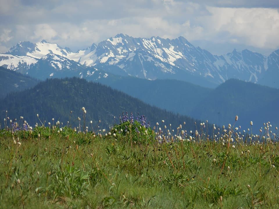
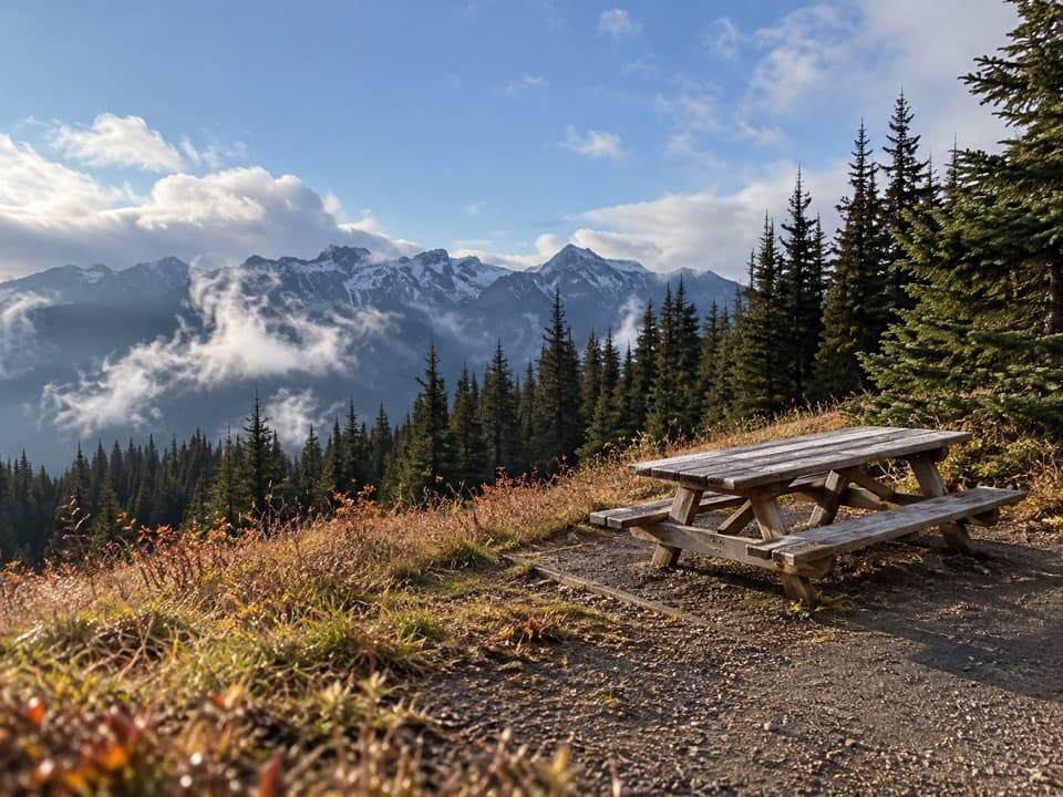
The view opens north over Port Angeles and the Strait of Juan de Fuca. On clear days you can pick out Vancouver Island, Victoria, and the British Columbia Coast Range. For a photo, work the curved stone wall into the foreground and leave room for the broad ridges beyond; it gives the view a sense of depth.

Fire changed this ridgeThe interpretive panels cover the 820-acre Griff Fire, sparked by lightning near Griff Peak in…

The interpretive panels cover the 820-acre Griff Fire, sparked by lightning near Griff Peak in 2003. Steep slopes and falling rocks made a hand-cut fireline unsafe, so crews used sprinklers and helicopter water drops; autumn rain finally extinguished lingering embers. The resulting patchwork of burned meadows, forest, and silver snags shows how this ridge changes after fire. The panel also describes woodpeckers using the drying trees.

Plan the ridge driveThe viewpoint is exposed, so bring a warm layer for wind.

The viewpoint is exposed, so bring a warm layer for wind. Stay on pavement or snow to protect the fragile meadows, and give wildlife room. There’s no food along the trail, so bring what you need. Hurricane Ridge is 17 miles south of Port Angeles. In winter, the road has scheduled Friday-through-Sunday and holiday-Monday openings when conditions allow, and vehicles must carry tire chains; check road status before heading up.

Wildlife

Wildlife in Olympic

All Olympic wildlife maps

Sighting maps show where each species has been reported across Olympic. Wildlife moves, so no sighting is guaranteed.

Parkwolf’s Olympic ranking

Top sights in Olympic

All 94 places
  1. 1Hurricane RidgeSight
  2. 2Ruby BeachBeach
  3. 3Rialto BeachBeach
  4. 4Sol Duc FallsSight
  5. 5Marymere FallsSight
  6. 6Second BeachBeach

Take Parkwolf to Olympic.

The audio tour guide for the drive, plus offline maps, trails, and wildlife heatmaps for when the signal drops.

4.7 from 8,600+ ratings

Download Parkwolf on the App StoreGet Parkwolf on Google Play