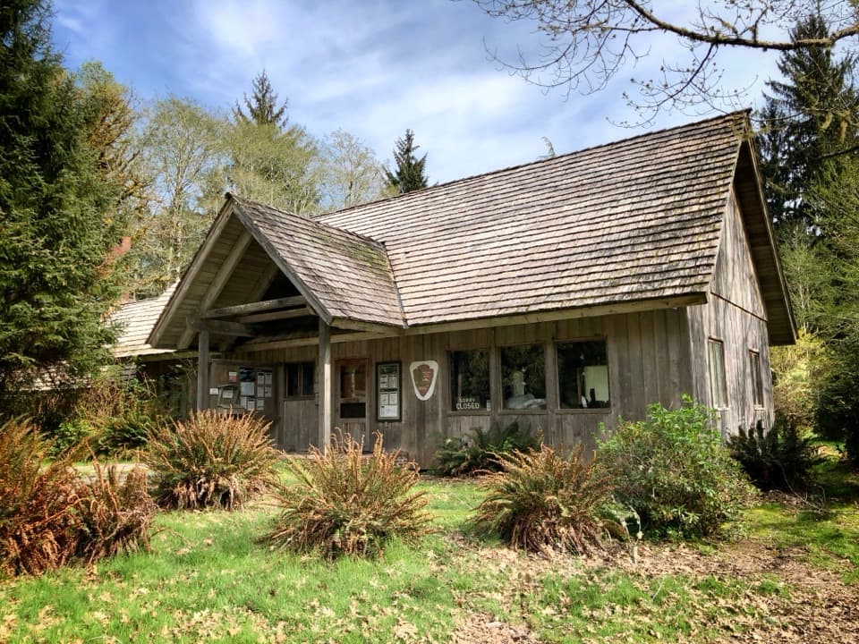
Three Lakes Trail via Big Creek in Olympic National Park

Olympic National Park, WA

Three Lakes Trail via Big Creek

A long forest climb to a mossy subalpine lake basin

Photo: Public Domain
Length
13.8mi
Time
9hr
Elev. change
2,677ft
Difficulty
Challenging
  • No dogs
  • High point 3,176 ft
  • #40 of 148 in Olympic

Hear the audio tour

Irely Lake and Three Lakes: Choose the Commitment

Overview

About Three Lakes Trail via Big Creek

Why go

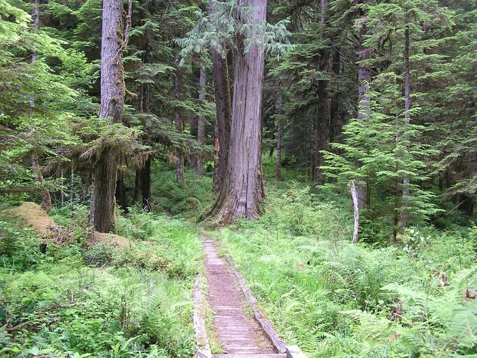
  • Old-growth forest, a giant Alaska cedar and open subalpine meadows.
  • A remote lake basin reached by a route with changing forest zones.

Heads up

  • A 13.8-mile day with about 2,850 feet of climbing.
  • The unbridged Big Creek ford can turn the route around.

Map & elevation

The route

Loading the Olympic map
Full map
Elevation499–3,176 ft
TrailheadIrely Lake Trailhead47.56779, -123.65529
Keep this map with you offline in the Parkwolf app

Plan your hike

Before you go

Parking

From US 101, turn onto South Shore Road and drive about 12.9 miles to the Quinault River Bridge. Cross it, turn right onto North Shore Road, and continue 2.7 miles to the trailhead. Parking is on the right for about a dozen vehicles; there is no toilet at the trailhead.

Best time to go

The park lists early July through October as the best season. Big Creek’s ford can be difficult or impassable during heavy rain and snowmelt, so check current conditions before setting out. Dogs are not allowed on this trail. Overnight stays require a wilderness permit and bear canister; campfires are prohibited at Three Lakes. The trailhead has no toilet, and no on-route food stop is documented.

Safety

Big Creek is unbridged and must be forded. High water from heavy rain or snowmelt can make the crossing hazardous or impossible; the steep loose-rock descent to the creek and strenuous climb beyond it add to the commitment.

6 active Olympic alerts

  • CautionUS 101 Hoh River Bridge reduced to one laneUS 101 at the Hoh River Bridge is restricted to one lane of alternating traffic; obey the signals and 25 mph speed limit.Official details
  • ClosureStaircase wilderness trails and campsites remain closedWilderness trails and campsites around Staircase remain closed during recovery from the Bear Gulch Fire; the developed Staircase area, including the Rapids Loop, campground, and ranger station, is…Official details
See all 6 alerts
A park ranger sits on a dash-mounted phone, talking, as Parkwolf’s Tour Guide plays “Army Cutworm Moths: A Grizzly Bear Buffet” on Grand Loop Road below Dunraven Pass in Yellowstone
Parkwolf Tour GuideThe highest, rockiest slopes around here are a summer buffet for grizzly bears.

Olympic Tour Guide

Your drive to Three Lakes Trail via Big Creek, narrated.

Parkwolf is a GPS audio tour guide for Olympic National Park. As you drive, it chimes in with what’s ahead: hidden gems, upcoming stops, history, geology, and wildlife, right through your car’s speakers.

See the Olympic audio tour

Recorded for this trailhead

Irely Lake and Three Lakes: Choose the Commitment
0:00 / 0:27
“You're approaching the Irely Lake and Three Lakes trailhead. For a shorter outing, Irely Lake is about two point two miles round trip; allow an hour and a half to two hours through mossy forest.”

Plays as you drive up to this trailhead in the Parkwolf Olympic Tour Guide.

More stories near here in the app

  • North Fork Quinault: Camp or River Walk
  • The Bat’s Feeding Buzz
  • The Glacier’s Natural Dam
  • The Squirrel’s Underground Meal
  • 204 audio storiesacross Olympic’s roads, triggered by GPS as you drive
  • Wildlife heatmapsfor Olympic Marmot, Humpback Whale, Grey Whale, and 13 more
  • Works offlinemaps, 148 trails, 94 places, and audio download before you lose signal
  • CarPlay readysimple controls built for the drive
★★★★★
“Fantastic app with many points of information… It’s great to just turn on while you’re driving and it gives you an audio tour of the national Park. We love it!!!!”
JMJamesApp Store review
Download Parkwolf on the App StoreGet Parkwolf on Google Play

4.7 from 8,600+ ratings

Trail guide

Hiking Three Lakes Trail via Big Creek

The routeThree Lakes is a remote out-and-back into Olympic’s Quinault backcountry: 13.

Three Lakes is a remote out-and-back into Olympic’s Quinault backcountry: 13.8 miles round trip, with about 2,850 feet of climbing. From the North Fork Quinault Road, the route follows the Irely Lake Trail and then Big Creek Trail to a subalpine basin of small lakes and meadows. It begins in wet lowland forest and finishes in open high country. This is a full-day hike for people ready for rough, infrequently maintained tread and a strenuous climb.

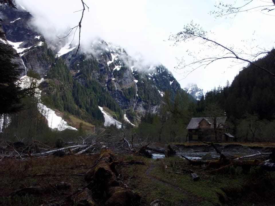
The first milesThe trail starts below a terrace of storm-felled trees, where younger hemlock and huckleberry…

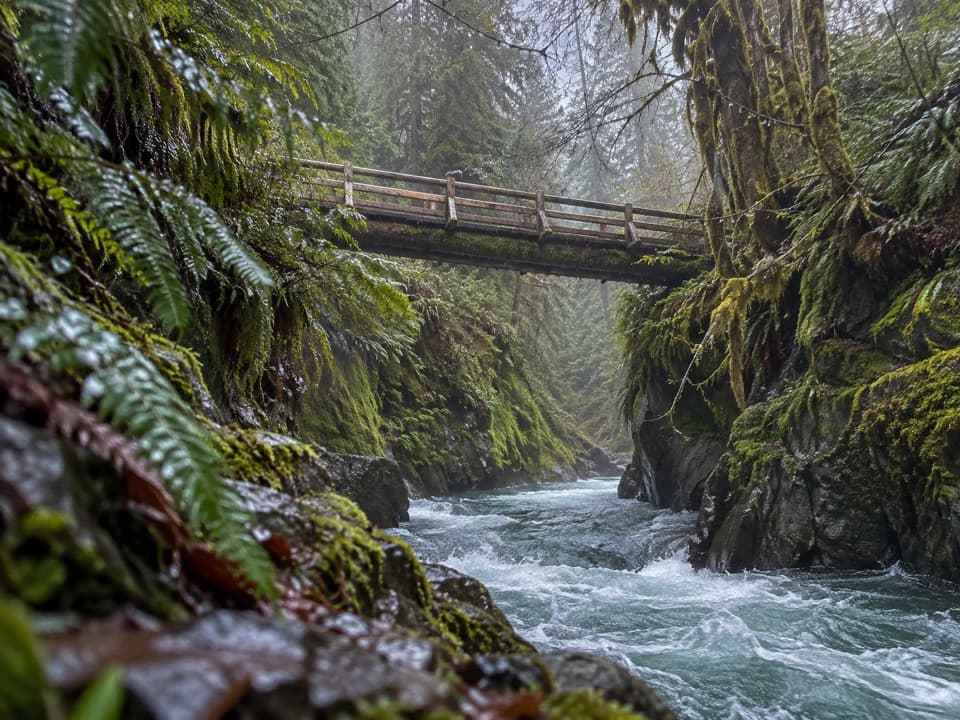
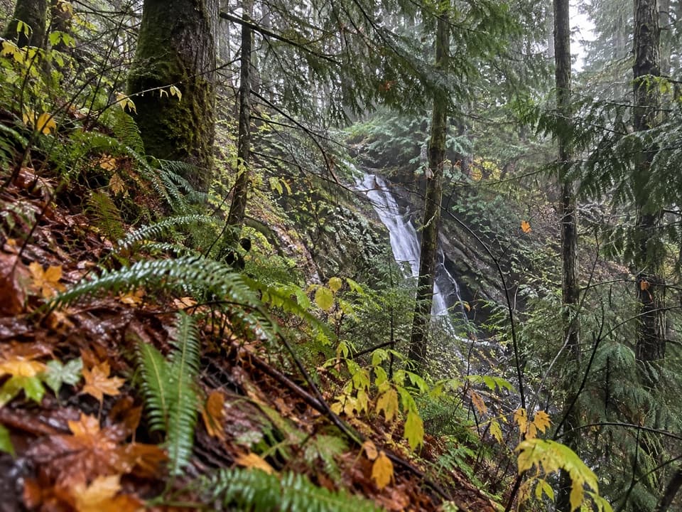
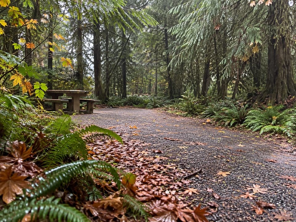
The trail starts below a terrace of storm-felled trees, where younger hemlock and huckleberry are filling in. Roots and rocks become more common as it climbs through older forest. Near the half-mile mark it follows Irely Creek over damp ground on old cedar puncheon, then crosses the creek on a railed log bridge. A short spur near a mile leads left to Irely Lake’s shore; the main Three Lakes route stays right at the junction. That side trip is not included in the mapped distance. The lake has more open water in spring and can look marshy by late summer.

Big Creek crossing and climbBeyond Irely Lake, the route crosses a muddy inlet and climbs through fir, spruce and bigleaf…

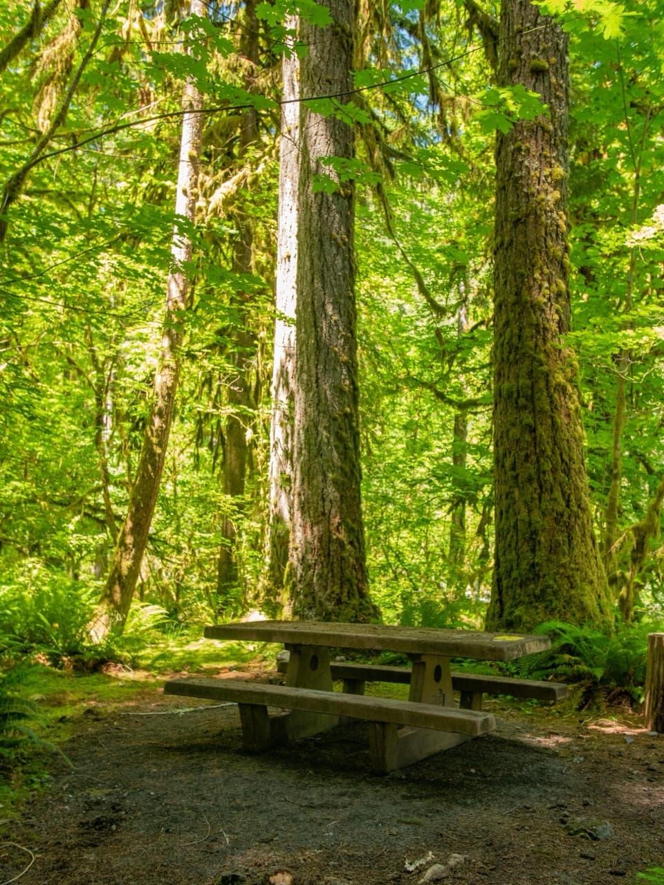
Beyond Irely Lake, the route crosses a muddy inlet and climbs through fir, spruce and bigleaf maple, with ferns and other plants thriving in the damp understory. The tread becomes rough, with hidden roots and muddy side streams. At about four miles it drops steeply on loose rock and mud to Big Creek. The creek has no bridge: hikers must ford it, and high water from rain or snowmelt can make the crossing hazardous or impossible. If it is not safe, turn around here.

After the ford, four long switchbacks climb roughly 1,700 feet in about two miles. This is the hardest sustained section, and the same climb comes on the return. The forest shifts toward Pacific silver fir and Alaska cedar as the trail gains height. Around six miles, a sign marks the stove-only boundary; just beyond it stands a marked Alaska cedar with a trunk about 12 feet across and a broken crown.

The basinThe forest eventually opens into small beargrass meadows.

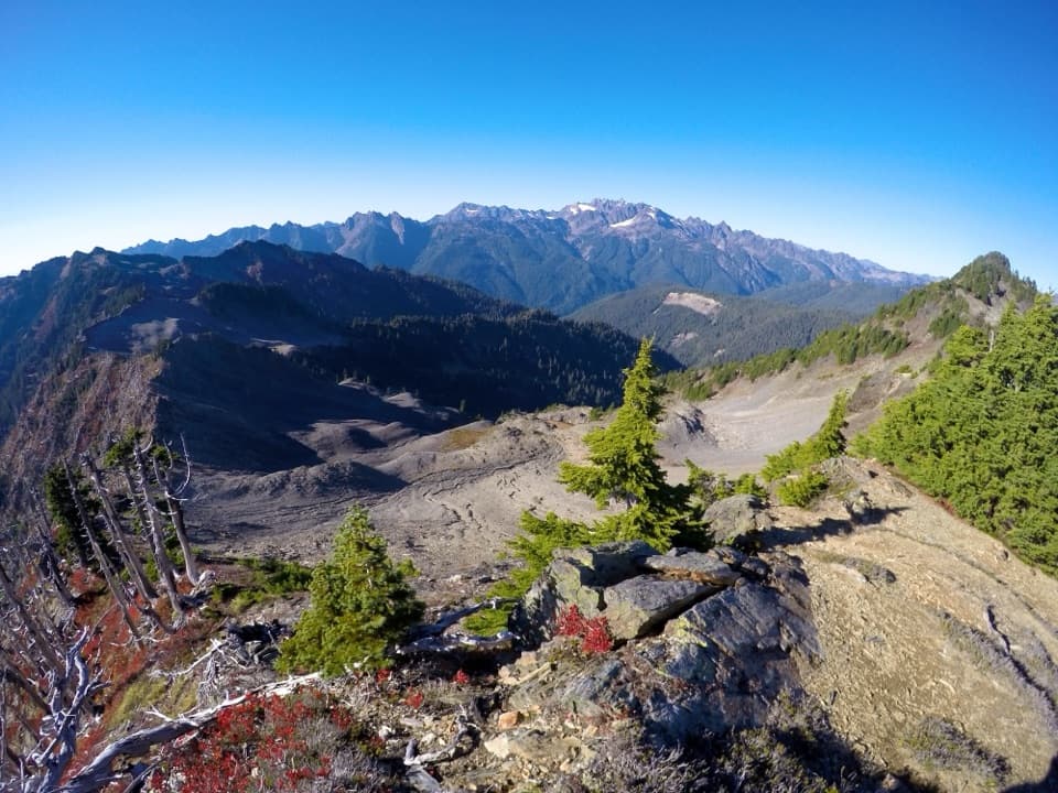
The forest eventually opens into small beargrass meadows. The largest opening is about the size of a football field, with views across forested ridges. At roughly 6.9 miles, the trail reaches Three Lakes; the largest lake is nearest the path and partly filled with sphagnum moss. There are campsites and a pit toilet at the basin. For a photo, use the meadow edge in the foreground to show the scale of the opening and the ridges beyond.

Wildlife

Wildlife in Olympic

All Olympic wildlife maps

Sighting maps show where each species has been reported across Olympic. Wildlife moves, so no sighting is guaranteed.

Keep exploring

Near Three Lakes Trail via Big Creek

See it all on the map

Trails that start nearby

Places near the trailhead

Parkwolf’s Olympic ranking

Top-rated trails in Olympic

All 148 trails
  1. 1Hall of Mosses TrailEasy · 0.8 mi
  2. 2Hurricane Hill TrailModerate · 3.3 mi
  3. 3Sol Duc Falls Nature TrailEasy · 1.6 mi
  4. 4High Divide Loop (Seven Lakes Basin)Challenging · 19 mi
  5. 5Hoh River TrailChallenging · 34.8 mi
  6. 6Shi Shi Beach and Point of Arches TrailModerate · 8 mi

Take Parkwolf to Olympic.

The audio tour guide for the drive, plus offline maps, trails, and wildlife heatmaps for when the signal drops.

4.7 from 8,600+ ratings

Download Parkwolf on the App StoreGet Parkwolf on Google Play