Parking
Use Falls Creek South Shore Trailhead on South Shore Road for the no-fee access. Quinault Rain Forest Trailhead is another official start but requires a valid recreation pass.
Olympic National Park, WA
A boardwalked bog, cascading falls, and Lake Quinault in one loop.
Overview
Map & elevation
Plan your hike

The highest, rockiest slopes around here are a summer buffet for grizzly bears.
Olympic Tour Guide
Parkwolf is a GPS audio tour guide for Olympic National Park. As you drive, it chimes in with what’s ahead: hidden gems, upcoming stops, history, geology, and wildlife, right through your car’s speakers.
See the Olympic audio tourRecorded for this trailhead
Lake Quinault Lodge and the Village Museum“You're coming up on Lake Quinault Lodge, a nineteen twenty-six hotel on the lake's south shore. Stop for its old lodge atmosphere and a meal at the Roosevelt Dining Room, which serves Northwest cooking with lake views.”
Plays as you drive up to this trailhead in the Parkwolf Olympic Tour Guide.
More stories near here in the app
“Fantastic app with many points of information… It’s great to just turn on while you’re driving and it gives you an audio tour of the national Park. We love it!!!!”


Trail guide
Quinault Loop Trail #854 is the Forest Service’s roughly four-mile circuit around the south side of Lake Quinault. About 2.7 miles cross temperate rainforest and 1.3 miles follow the shore, linking old-growth trees, a bog boardwalk and Cascade Falls. Allow about two and a half to three hours; the grade is gentle overall with roughly 350 feet of gain. This route is managed by Olympic National Forest. The short Quinault Rain Forest Nature Trail is a separate interpretive walk, not the same hike.
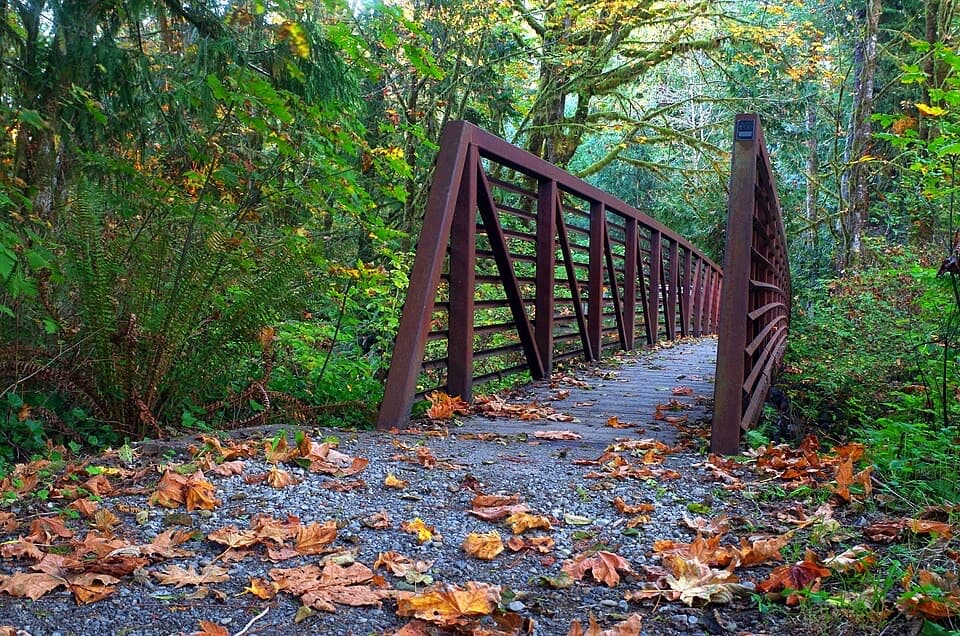
The forest portion moves between dirt and compacted gravel, with short wooden bridges over creeks. Sitka spruce, Douglas fir, western red cedar and western hemlock rise above ferns and moss. It is not a boardwalk stroll from end to end: the footing varies and there are small rises, but no sustained steep climb.
Cedar Bog is a good place to pause. A boardwalk crosses wet ground among skunk cabbage and ferns, with benches beside the trail. Farther along, the route crosses Falls Creek on a bridge and reaches Cascade Falls after passing other stream crossings. At the Gatton Creek Falls junction, stay on #854 to remain on the loop. Bugs can be plentiful around the bog in early summer.
The loop opens onto Lake Quinault’s south shore, where the forest edge, lake and old docks make a change from the enclosed rainforest. It passes historic Lake Quinault Lodge and skirts Falls Creek and Willaby campgrounds. Near Willaby, a roughly 0.2-mile stretch through the campground separates two parts of trail; the route then passes under South Shore Road by small waterfalls before returning to the rainforest loop. At the shoreline, include some of the forest in a photo so the frame shows both parts of the walk.
Use Falls Creek South Shore Trailhead on South Shore Road for the no-fee access and four-mile #854 loop represented here. Quinault Rain Forest Trailhead is another official start; it requires a valid recreation pass and has restrooms, water and space for about two dozen cars. Starting there and taking the short Rain Forest Nature Loop approach makes the outing about 4.25 miles. Dogs are allowed on leash; motorized vehicles, mountain bikes and stock are prohibited.
Wildlife
 710 sightingsOlympic MarmotMost seen around 11 AMSighting map
 30 sightingsHumpback WhaleMost seen around 6 PMSighting map
 42 sightingsGrey WhaleMost seen around noonSighting map
 23 sightingsMountain LionMost seen around 8 PMSighting map
 71 sightingsMountain GoatMost seen around 7 AMSighting map
 306 sightingsBald EagleMost seen around 11 AMSighting map
Sighting maps show where each species has been reported across Olympic. Wildlife moves, so no sighting is guaranteed.
Keep exploring
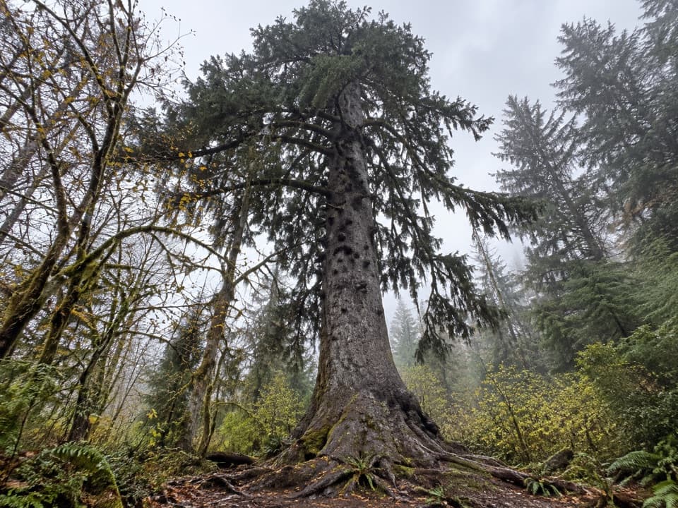 EasyQuinault Big Sitka Spruce Tree Trail0.4 mi · 30 min · 0.9 mi awayA short forest path leads to a towering Sitka spruce.
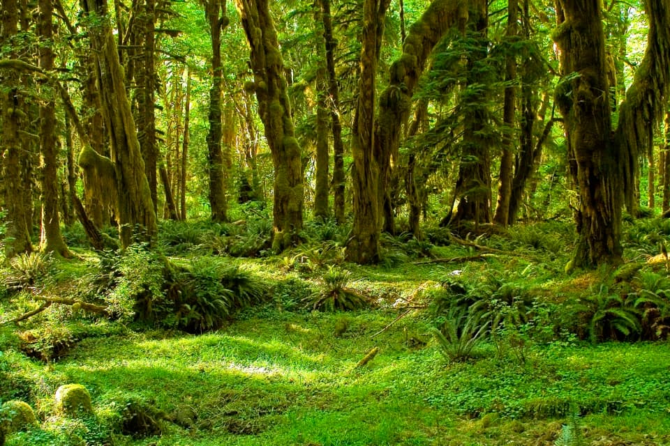 EasyMaple Glade Rain Forest Trail0.5 mi · 30 min · 2.8 mi awayMoss-draped maples and nurse logs in a gentle half-mile loop.
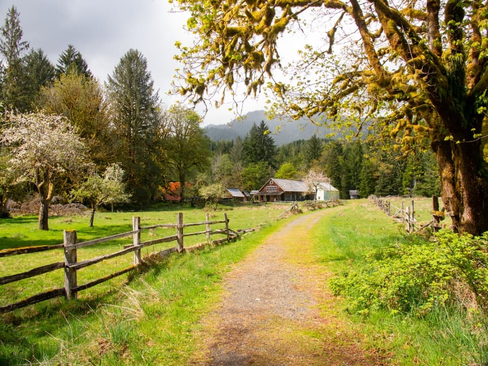 EasyKestner Homestead Trail1.3 mi · 45 min · 2.8 mi awayAn easy forest loop to an old homestead and orchard.
 EasyIrely Lake Trail2.2 mi · 1.8 hr · 11.3 mi awayA mossy rainforest walk to a small lake with Mount Hoquiam views.
 ChallengingThree Lakes Trail via Big Creek13.8 mi · 9 hr · 11.3 mi awayA long forest climb to a mossy subalpine lake basin
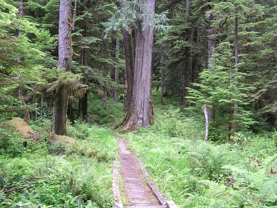 ChallengingNorth Fork Quinault River Trail33 mi · 1 day · 11.9 mi awayOld-growth river forest, rugged fords, and meadows at Low Divide
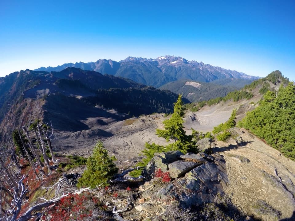 ChallengingSkyline Ridge Primitive Trail20.1 mi · 20 hr · 12.8 mi awayA rugged ridge traverse past Kimta Peak through remote high country.
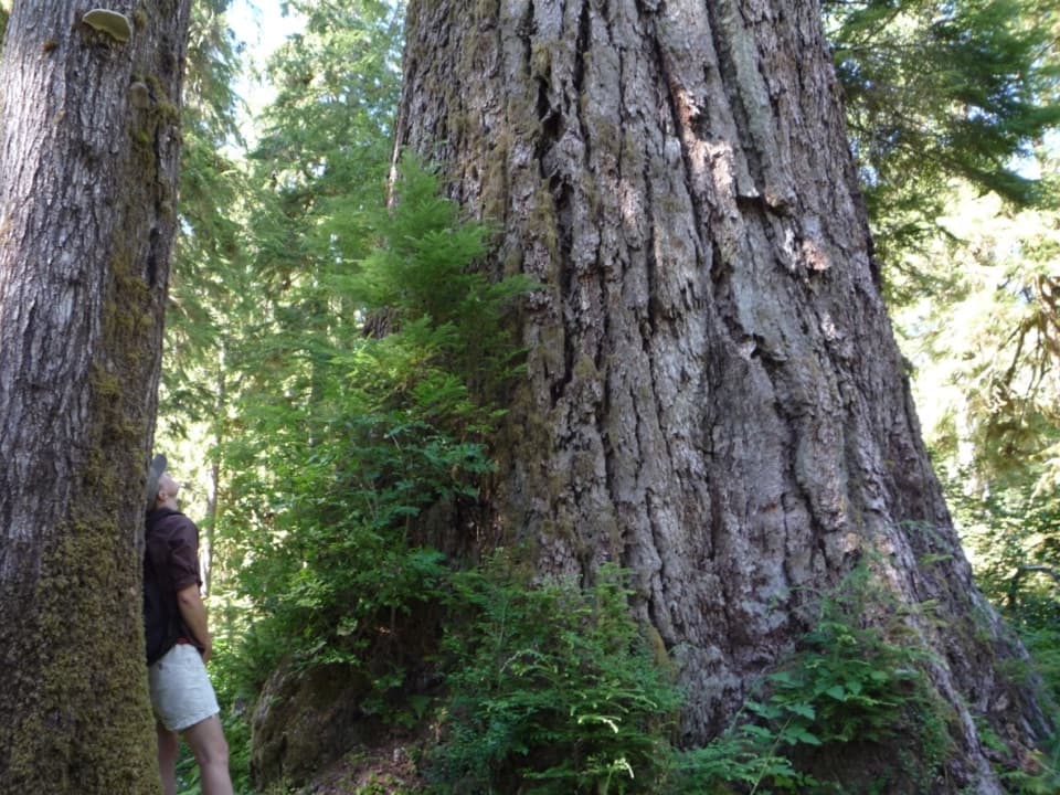 ChallengingQueets River Trail32.4 mi · 1 day · 13.4 mi awayA remote rainforest traverse that starts with a risky river ford.
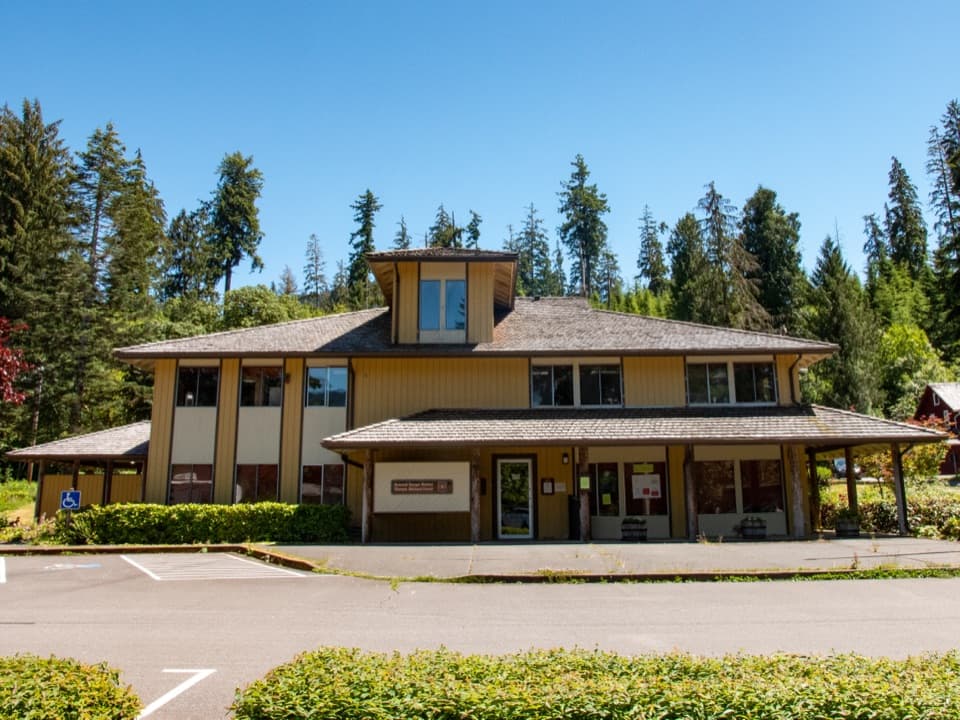 Ranger station · 0.1 mi awaySouth Shore Quinault Ranger StationA useful stop for maps, trail advice, and wilderness permits.
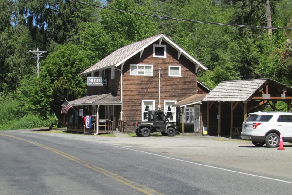 Sight · 0.1 mi awayLake Quinault MuseumTwo 20-plus-foot cedar canoes anchor this small local museum.
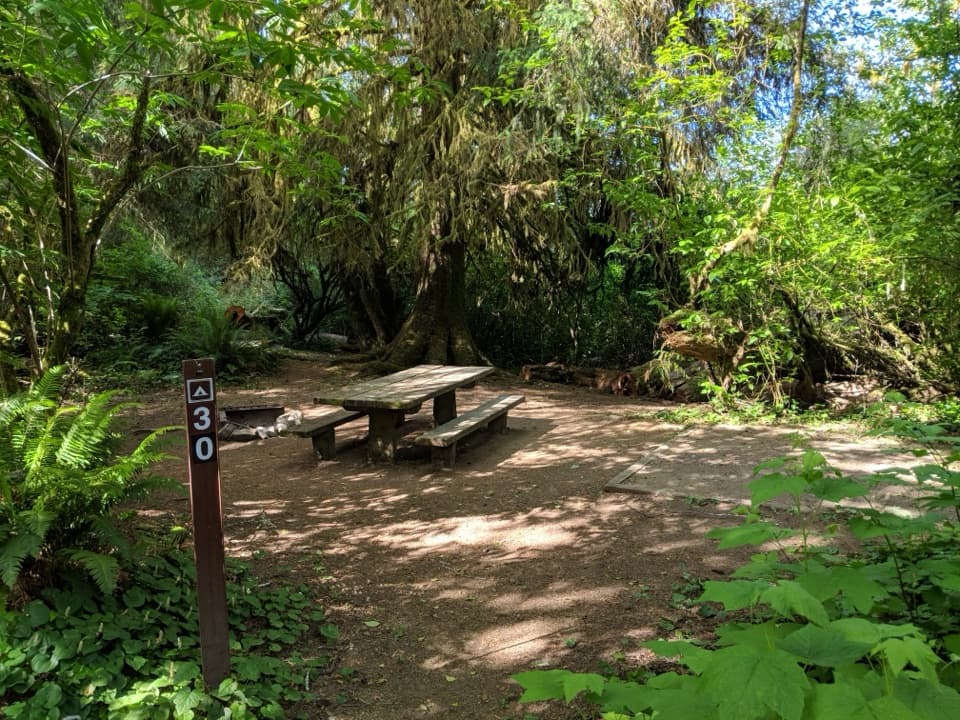 Campground · 0.1 mi awayFalls Creek CampgroundRainforest campsites with lakeshore access and a CCC-built shelter.
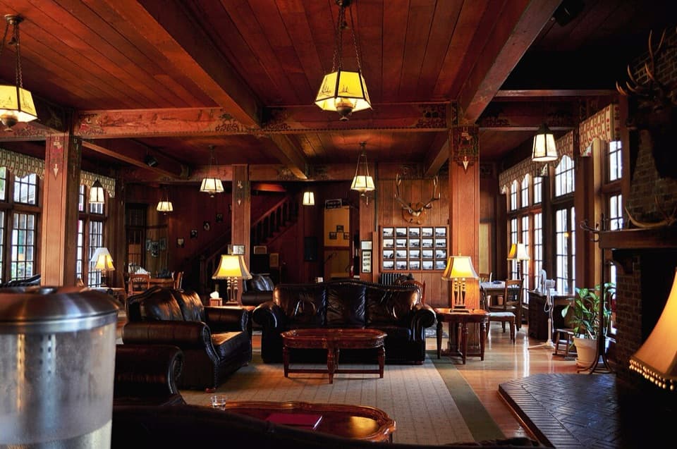 Lodging · 0.1 mi awayLake Quinault LodgeStay or eat at the 1926 lodge on Lake Quinault's south shore.
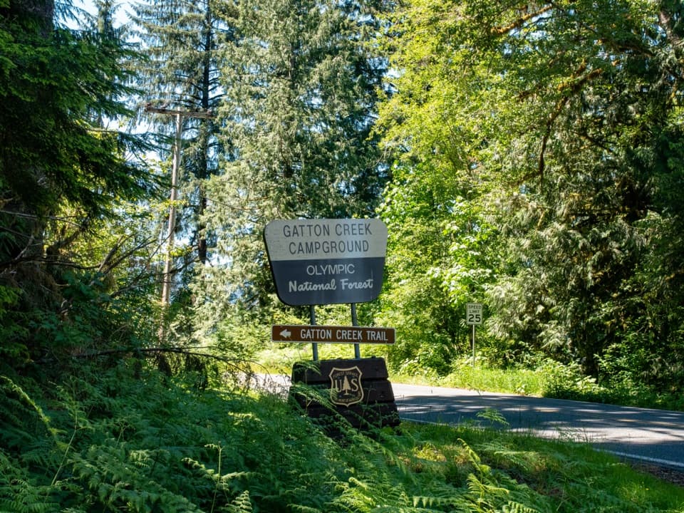 Campground · 0.5 mi awayGatton Creek CampgroundFive walk-in tent sites beside Lake Quinault.
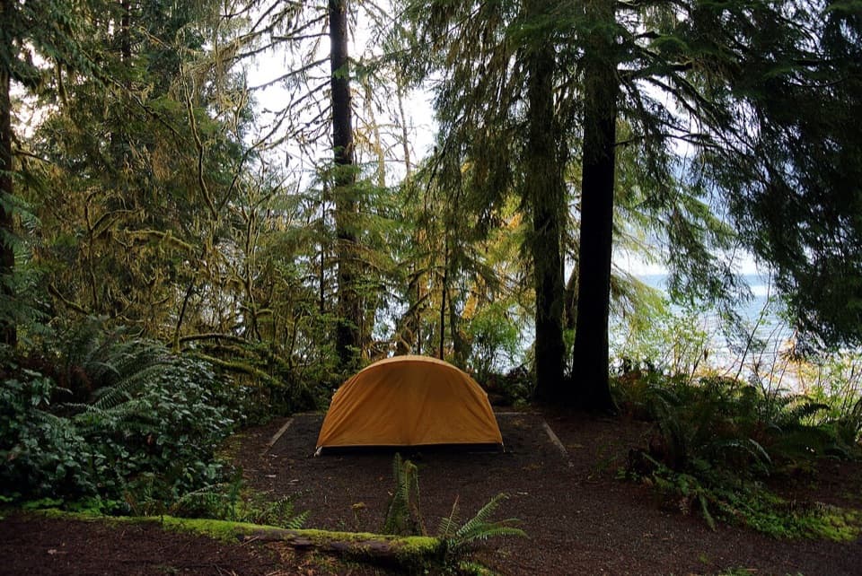 Campground · 0.8 mi awayWillaby CampgroundRainforest camping, lake access and short walks around Quinault.
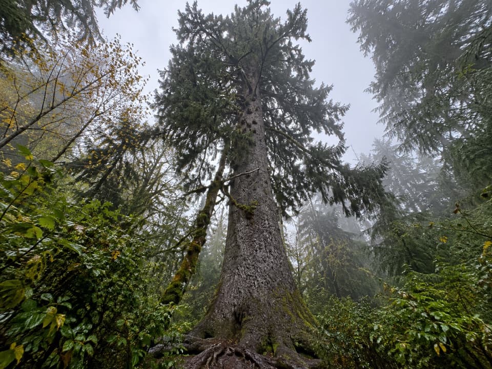 Sight · 1 mi awayQuinault Big Sitka Spruce TreeA short walk to a 191-foot spruce with a 59-foot girth.
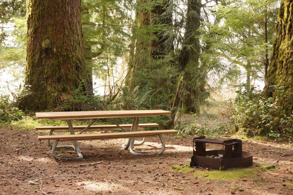 Picnic area · 1.8 mi awayJuly Creek Picnic AreaA short loop to huge Douglas-firs and Lake Quinault views.
Parkwolf’s Olympic ranking

The audio tour guide for the drive, plus offline maps, trails, and wildlife heatmaps for when the signal drops.





