Parking
From the Upper Sugarloaf US 1 traffic light, follow Crane Boulevard about 1.3 miles to the refuge gate, where the hike starts. The refuge directs visitors to the gate but does not describe a formal lot or parking spaces there.
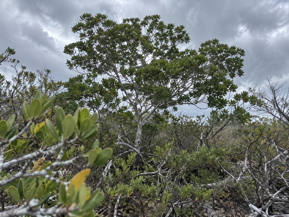
Overseas Highway, FL
A simple paved walk into Key deer refuge country.
Overview
Map & elevation
Plan your hike

The highest, rockiest slopes around here are a summer buffet for grizzly bears.
Overseas Highway Tour Guide
Parkwolf is a GPS audio tour guide for Overseas Highway. As you drive, it chimes in with what’s ahead: hidden gems, upcoming stops, history, geology, and wildlife, right through your car’s speakers.
See the Overseas Highway audio tourRecorded for this trailhead
Upper Sugarloaf Key Trail: A Paved Refuge Walk“You're approaching Crane Boulevard, the access road for Upper Sugarloaf Key Trail.”
Plays as you drive up to this trailhead in the Parkwolf Overseas Highway Tour Guide.
More stories near here in the app
“Fantastic app with many points of information… It’s great to just turn on while you’re driving and it gives you an audio tour of the national Park. We love it!!!!”


Trail guide
The Upper Sugarloaf Key Trail is a paved out-and-back along a refuge road on Upper Sugarloaf Key. From the refuge gate, follow the mapped section about 1.7 miles northwest, then return the same way: about 3.3 miles round trip. It is nearly level and open to the sun, a simple outing if you want a walk or bike ride rather than a rugged hike. Allow roughly 1½ to 2 hours at an easy pace. The refuge’s visitor description rounds the total to 3 miles; its map section and the mapped road measure about 1.67 to 1.69 miles one way.
At the Upper Sugarloaf US 1 traffic light, turn onto Crane Boulevard and follow it about 1.3 miles to the refuge gate. That drive is the approach to the hike, not part of its walking distance. The trail starts at the gate and follows the paved corridor to its mapped western end. Walking, hiking and bicycling are allowed; motorized vehicles are not. Public trail access runs from 30 minutes before sunrise until 30 minutes after sunset. A formal parking area at the gate is not described, so do not count on services there.
National Key Deer Refuge was established in 1957 to protect Key deer and other wildlife. Key deer live only in the Lower Florida Keys, but the refuge does not identify this route as a reliable place to see them; treat wildlife as a bonus. Carry water and sun protection because the road is exposed and no drinking-water stop is listed at this access. Seasonal flooding can affect refuge trails. Pet rules are unclear, so check with the refuge before bringing a dog.
Wildlife
 18 sightingsCrocodileMost seen around 6 PMSighting map
 255 sightingsAlligatorMost seen around 6 PMSighting map
 55 sightingsManateeMost seen around 7 AMSighting map
 70 sightingsCommon Bottlenose DolphinMost seen around 9 AMSighting map
 51 sightingsBald EagleMost seen around 8 AMSighting map
 1,120 sightingsKey DeerMost seen around 6 PMSighting map
Sighting maps show where each species has been reported across Overseas Highway. Wildlife moves, so no sighting is guaranteed.
Keep exploring
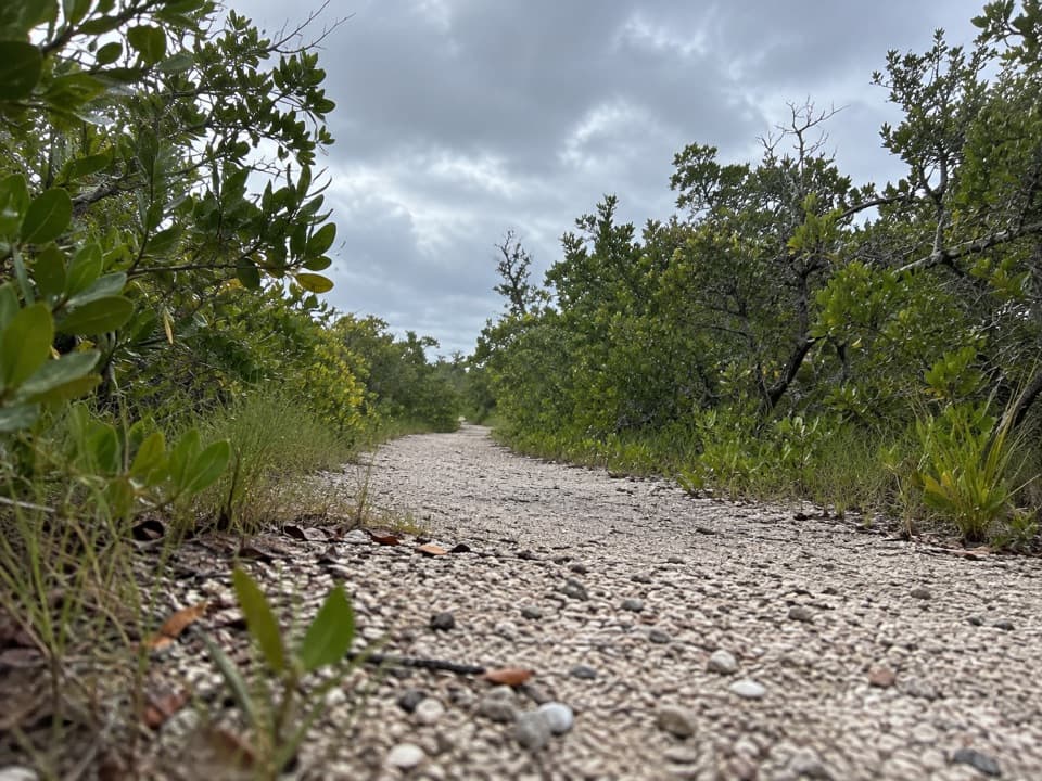 ModerateLower Sugarloaf Key Trail7.2 mi · 3.8 hr · 5.8 mi awayOld State Road 4A makes this a rough walk into Keys history.
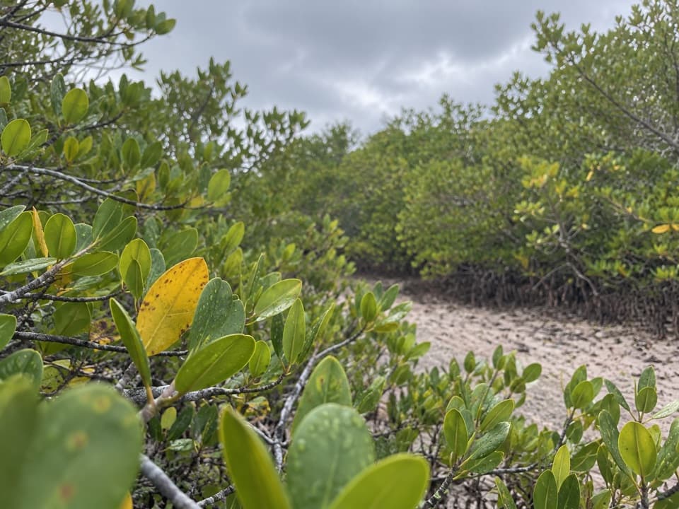 EasyNiles Trail0.3 mi · 15 min · 6 mi awayA quick mangrove walk to a water view toward Torch Keys.
 EasyMannillo Trail0.3 mi · 15 min · 10.2 mi awayA short limestone path to a wetland deck in pine rockland.
 EasyWatson Trail0.8 mi · 36 min · 10.2 mi awayA short loop through pine rockland and water-filled limestone holes.
 EasyButtonwood Trail1.6 mi · 1 hr · 10.2 mi awayA flat, 1.6-mile out-and-back through Big Pine Key wetlands.
 EasyBlue Hole Trail0.3 mi · 20 min · 10.2 mi awayA shaded stroll around a freshwater quarry with wildlife to watch.
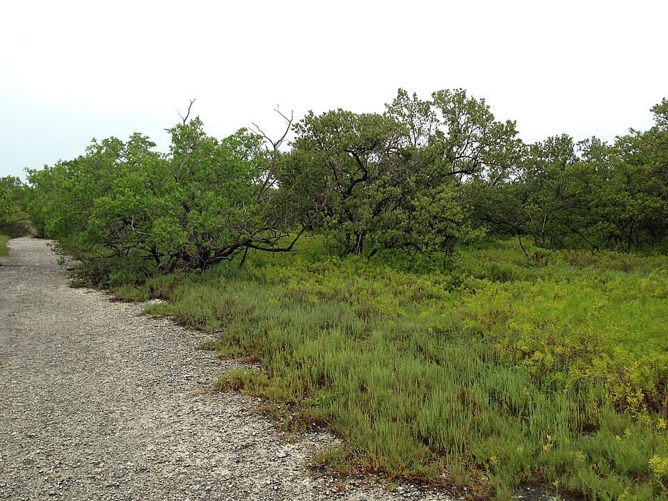 EasyLongbeach Trail2.3 mi · 1.5 hr · 13.1 mi awayTwo short spurs reach mangroves and open shoreline.
 EasyParadise Drive Trail2.1 mi · 1 hr · 13.8 mi awayA flat, rustic two-mile walk through No Name Key refuge habitat.
Parkwolf’s Overseas Highway ranking

The audio tour guide for the drive, plus offline maps, trails, and wildlife heatmaps for when the signal drops.