Parking
The mapped start is on Niles Road. Refuge materials do not identify a dedicated lot or pullout for this trail, so verify legal parking before leaving your vehicle.
Overseas Highway, FL
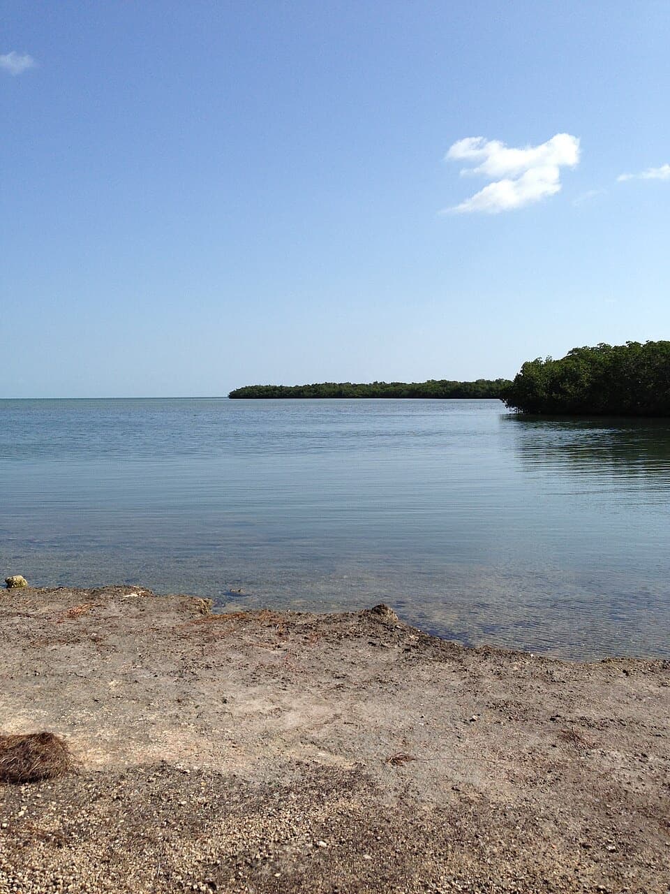
A quick mangrove walk to a water view toward Torch Keys.
Overview
Map & elevation
Plan your hike

The highest, rockiest slopes around here are a summer buffet for grizzly bears.
Overseas Highway Tour Guide
Parkwolf is a GPS audio tour guide for Overseas Highway. As you drive, it chimes in with what’s ahead: hidden gems, upcoming stops, history, geology, and wildlife, right through your car’s speakers.
See the Overseas Highway audio tourRecorded for this area
Deer Between Islands“Key deer can swim from one island to another. That helps explain how these small deer live across a scatter of islands in the Lower Keys, rather than on just one patch of land.”
Plays on the road 1.6 mi from the trailhead in the Parkwolf Overseas Highway Tour Guide.
More stories near here in the app
“Fantastic app with many points of information… It’s great to just turn on while you’re driving and it gives you an audio tour of the national Park. We love it!!!!”


Trail guide
Niles Trail is a gentle native-earth path from Niles Road to the edge of the water. The mapped section is 0.15 mile one way; walk it back on the same track for about 0.30 mile total. Allow around 15 to 20 minutes. This is a quick nature stop, not a longer hike.
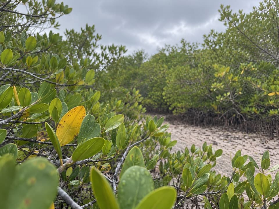
The trail runs north from Niles Road through a narrow mangrove fringe to its marked end. A water view toward the Torch Keys is the payoff; then retrace the same path. The route is nearly flat, though the natural surface can feel rocky underfoot.
Refuge trails are open from half an hour before sunrise until half an hour after sunset. Leashed dogs are allowed, but bicycles are not permitted on nature trails. Bring water and sun protection. Sections of refuge trails can flood in rainy season, and mosquitoes can be troublesome seasonally.
Wildlife
 18 sightingsCrocodileMost seen around 6 PMSighting map
 255 sightingsAlligatorMost seen around 6 PMSighting map
 55 sightingsManateeMost seen around 7 AMSighting map
 70 sightingsCommon Bottlenose DolphinMost seen around 9 AMSighting map
 51 sightingsBald EagleMost seen around 8 AMSighting map
 1,120 sightingsKey DeerMost seen around 6 PMSighting map
Sighting maps show where each species has been reported across Overseas Highway. Wildlife moves, so no sighting is guaranteed.
Keep exploring
 EasyMannillo Trail0.3 mi · 15 min · 4.2 mi awayA short limestone path to a wetland deck in pine rockland.
 EasyWatson Trail0.8 mi · 36 min · 4.3 mi awayA short loop through pine rockland and water-filled limestone holes.
 EasyBlue Hole Trail0.3 mi · 20 min · 4.3 mi awayA shaded stroll around a freshwater quarry with wildlife to watch.
 EasyButtonwood Trail1.6 mi · 1 hr · 4.6 mi awayA flat, 1.6-mile out-and-back through Big Pine Key wetlands.
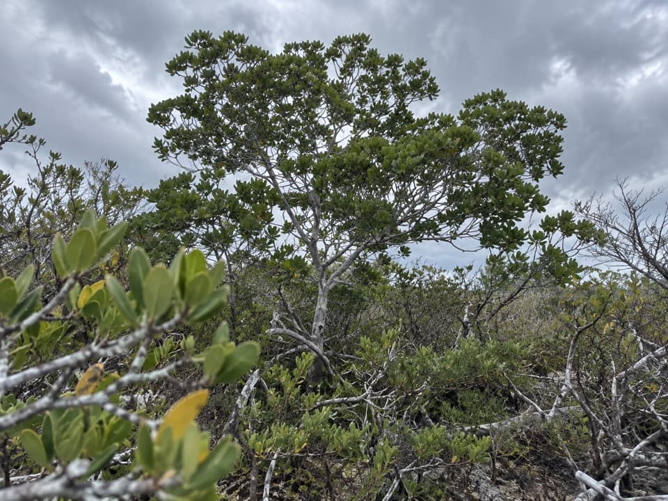 EasyUpper Sugarloaf Key Trail3.3 mi · 1.8 hr · 6 mi awayA simple paved walk into Key deer refuge country.
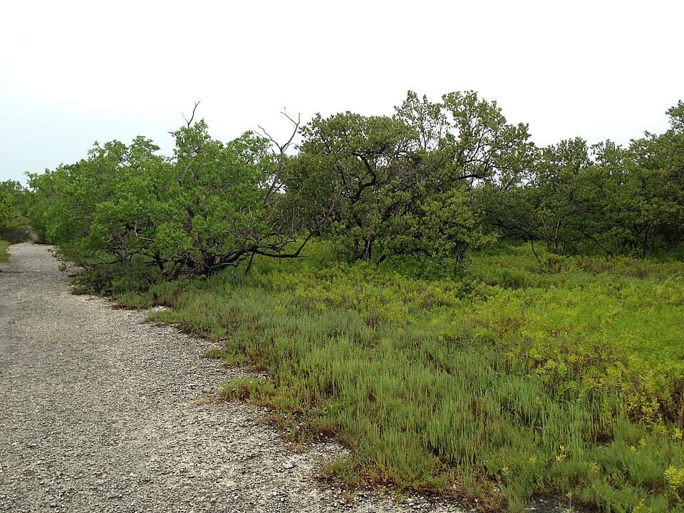 EasyLongbeach Trail2.3 mi · 1.5 hr · 7.6 mi awayTwo short spurs reach mangroves and open shoreline.
 EasyParadise Drive Trail2.1 mi · 1 hr · 7.8 mi awayA flat, rustic two-mile walk through No Name Key refuge habitat.
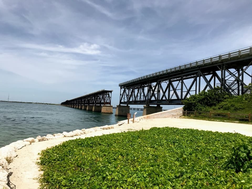 EasyOld Bahia Honda Bridge Trail0.4 mi · 30 min · 10.6 mi awayA short stair climb earns a sweeping view over the water.
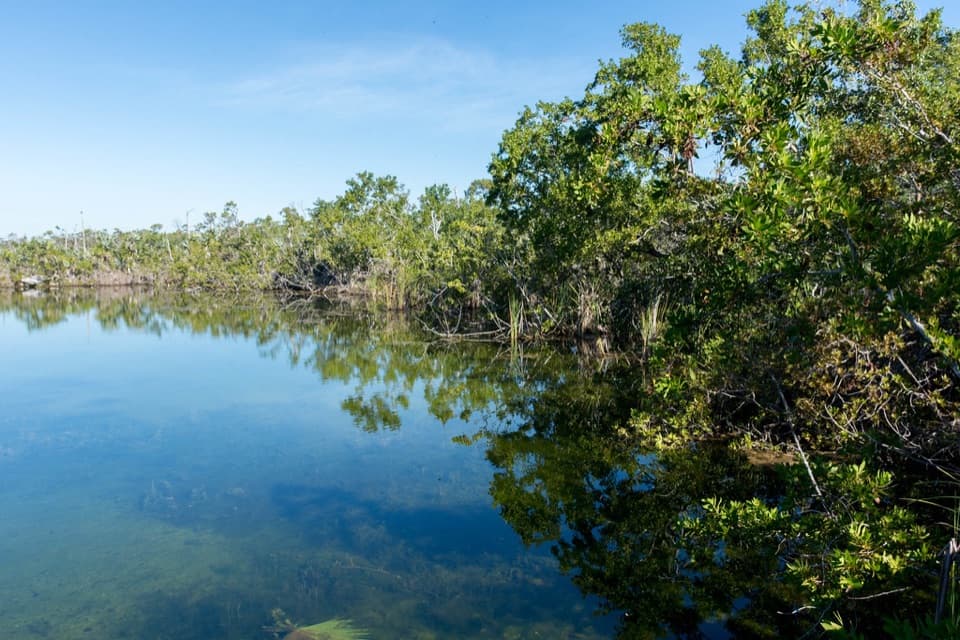 Sight · 4.3 mi awayBlue HoleA freshwater quarry with alligators, tarpon and an easy viewing platform.
 Campground · 4.9 mi awaySugarloaf Key / Key West KOA ResortA waterfront campground with a sandy beach, pool and Key West base.
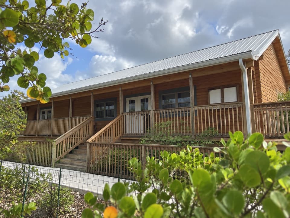 Visitor center · 5.7 mi awayFlorida Keys National Wildlife Refuges Nature CenterA useful first stop before heading out to look for Key deer.
 Restaurant · 5.9 mi awayNo Name PubPizza with a 1960s recipe under a ceiling of dollar bills.
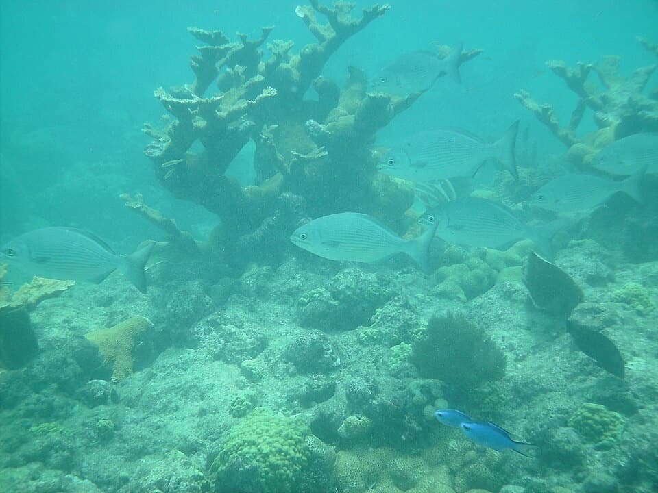 Sight · 9.7 mi awayLooe Key ReefA boat trip to coral ridges with a 1744 shipwreck story.
Parkwolf’s Overseas Highway ranking

The audio tour guide for the drive, plus offline maps, trails, and wildlife heatmaps for when the signal drops.