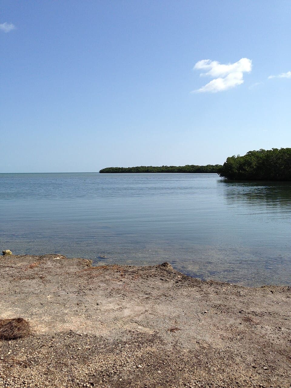
Parking
Both mapped section starts are identified at Longbeach Drive. The refuge trail information gives no dedicated visitor lot or legal roadside parking; confirm where to leave the car with refuge staff.
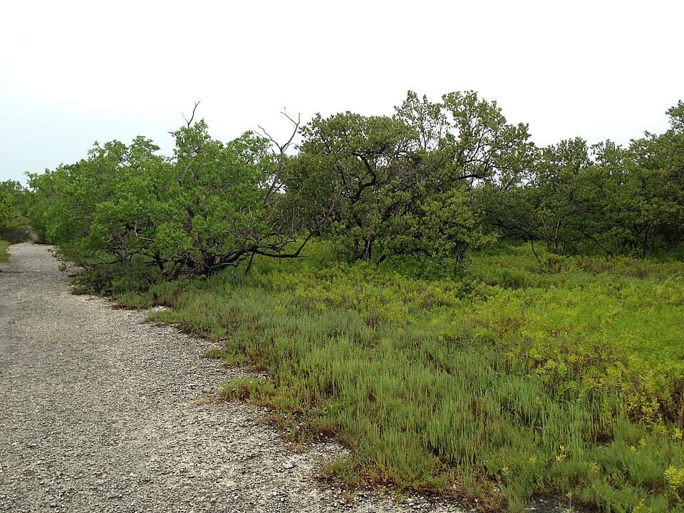
Overseas Highway, FL
Two short spurs reach mangroves and open shoreline.
Overview
Map & elevation
Plan your hike

The highest, rockiest slopes around here are a summer buffet for grizzly bears.
Overseas Highway Tour Guide
Parkwolf is a GPS audio tour guide for Overseas Highway. As you drive, it chimes in with what’s ahead: hidden gems, upcoming stops, history, geology, and wildlife, right through your car’s speakers.
See the Overseas Highway audio tourRecorded for this area
Islands Made of Tiny Grains“Big Pine Key sits near a change in what these islands are made of. Much of the Upper Keys is ancient coral reef rock. Farther west, the Lower Keys are built mainly from limestone full of tiny rounded grains called ooids.”
Plays on the road 0.9 mi from the trailhead in the Parkwolf Overseas Highway Tour Guide.
More stories near here in the app
“Fantastic app with many points of information… It’s great to just turn on while you’re driving and it gives you an audio tour of the national Park. We love it!!!!”


Trail guide
Longbeach Trail is a pair of natural-surface paths from Longbeach Drive that end separately at the coast. The refuge map lists 0.39 and 0.63 miles of trail, 1.02 miles of mapped tread in total. That is the line length, not the full walk: doing both branches out and back, plus the footpath between their starts, makes about 2.25 miles. Allow around 90 minutes with a little time at the water. The shorter western branch works as a quicker option; the full outing means backtracking on both.
The refuge still maps Longbeach Trail, but a hiking reference reports that it was abandoned after hurricane damage and would not reopen. That conflict has not been resolved by a current refuge notice. Confirm access with refuge staff before making the trip; don't assume the adjacent shoreline is the mapped trail. The trail information does not identify a dedicated visitor lot or legal roadside parking. Dogs are allowed on leash; bicycles are prohibited on Long Beach.
Both sections are mapped as pedestrian trails on native surface, about four feet wide. The route stays low, with a subtle 1-to-6-metre elevation profile. On the ground it passes scrub, mangroves and hardwood hammock before reaching shallow water and exposed rock. Refuge-wide guidance warns that rustic trails can flood in the rainy season, mosquitoes can be troublesome, and poisonwood grows beside trails. Stay on the tread and bring water and sun protection. At the shoreline, a little foreground rock or mangrove root gives the shallow water more shape in a photo.
Wildlife
 18 sightingsCrocodileMost seen around 6 PMSighting map
 255 sightingsAlligatorMost seen around 6 PMSighting map
 55 sightingsManateeMost seen around 7 AMSighting map
 70 sightingsCommon Bottlenose DolphinMost seen around 9 AMSighting map
 51 sightingsBald EagleMost seen around 8 AMSighting map
 1,120 sightingsKey DeerMost seen around 6 PMSighting map
Sighting maps show where each species has been reported across Overseas Highway. Wildlife moves, so no sighting is guaranteed.
Keep exploring
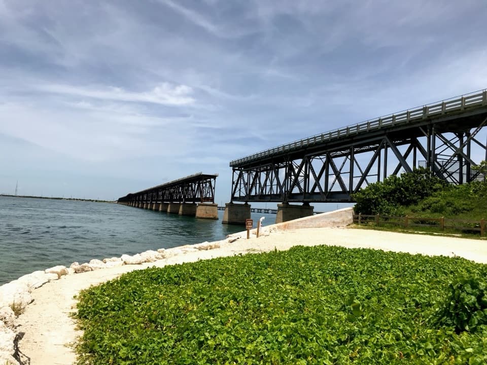 EasyOld Bahia Honda Bridge Trail0.4 mi · 30 min · 3.5 mi awayA short stair climb earns a sweeping view over the water.
 EasyParadise Drive Trail2.1 mi · 1 hr · 3.9 mi awayA flat, rustic two-mile walk through No Name Key refuge habitat.
 EasySilver Palm Nature Trail0.1 mi · 10 min · 5 mi awayA quick detour for the silver-backed palm fronds
 EasyBlue Hole Trail0.3 mi · 20 min · 5.3 mi awayA shaded stroll around a freshwater quarry with wildlife to watch.
 EasyMannillo Trail0.3 mi · 15 min · 5.6 mi awayA short limestone path to a wetland deck in pine rockland.
 EasyWatson Trail0.8 mi · 36 min · 5.6 mi awayA short loop through pine rockland and water-filled limestone holes.
 EasyButtonwood Trail1.6 mi · 1 hr · 6.9 mi awayA flat, 1.6-mile out-and-back through Big Pine Key wetlands.
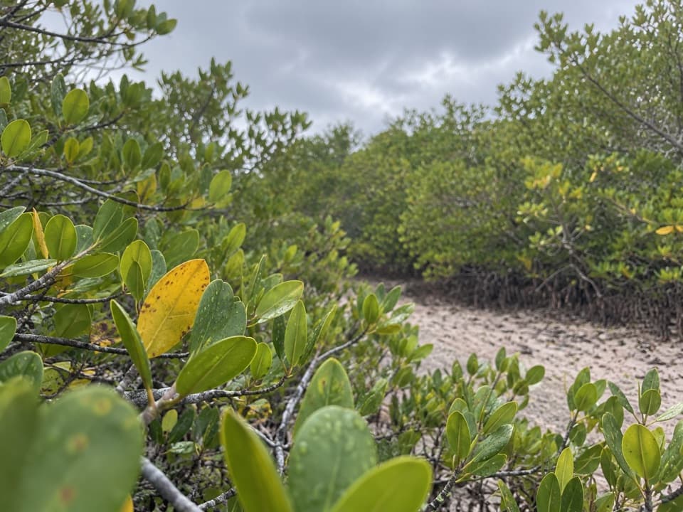 EasyNiles Trail0.3 mi · 15 min · 7.6 mi awayA quick mangrove walk to a water view toward Torch Keys.
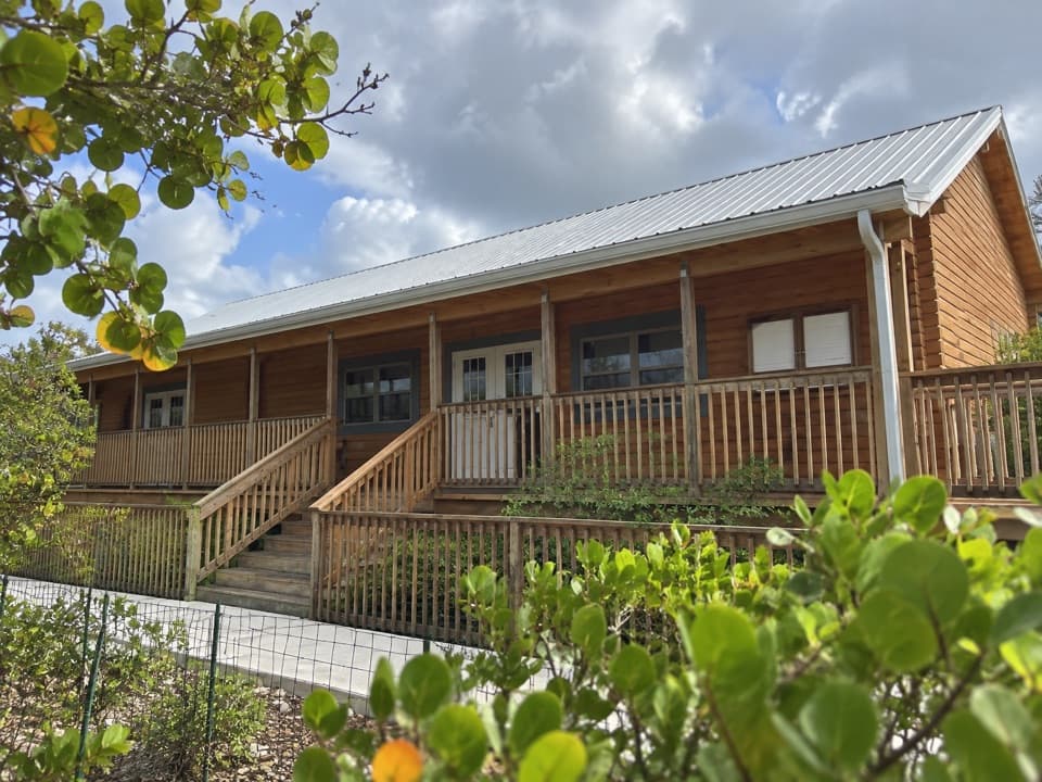 Visitor center · 2.4 mi awayFlorida Keys National Wildlife Refuges Nature CenterA useful first stop before heading out to look for Key deer.
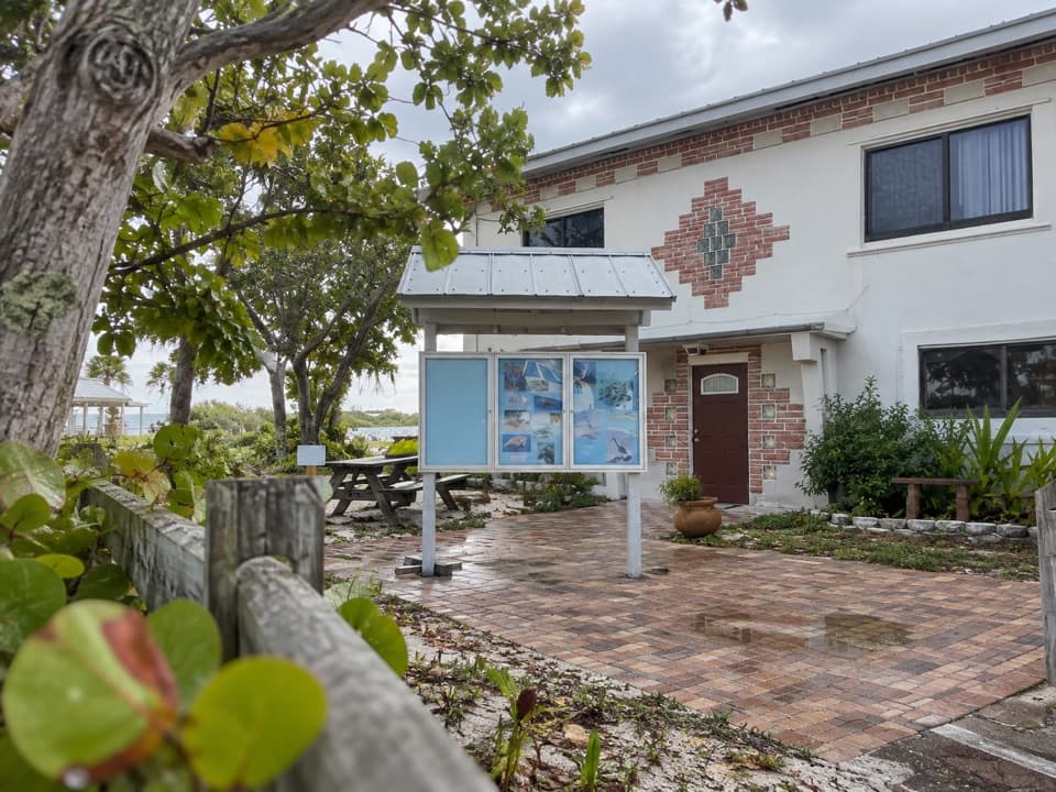 Visitor center · 3.4 mi awayBahia Honda Sand and Sea Nature CenterA quick wildlife exhibit beside Calusa Beach.
 Beach · 3.4 mi awayCalusa BeachA shallow bay beach beside the broken railway bridge.Sight · 3.5 mi awayOld Bahia Honda BridgeA short stair climb leads to Flagler’s steel span above the water.
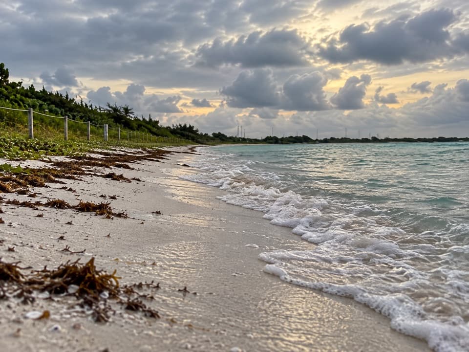 Beach · 3.5 mi awayLoggerhead BeachShallow Atlantic water suits swimming and a first snorkel.
 Campground · 3.6 mi awayButtonwood Campground48 gravel sites for tents and RVs, including waterfront spots.
 Lodging · 3.9 mi awayBahia Honda Bayside CabinsRaised duplexes make this a bay-side stay inside the park.
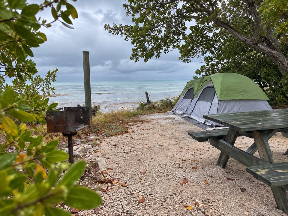 Campground · 4 mi awayBayside CampgroundEight bayside sites have water and grills, but no electricity.
Parkwolf’s Overseas Highway ranking

The audio tour guide for the drive, plus offline maps, trails, and wildlife heatmaps for when the signal drops.