Parking
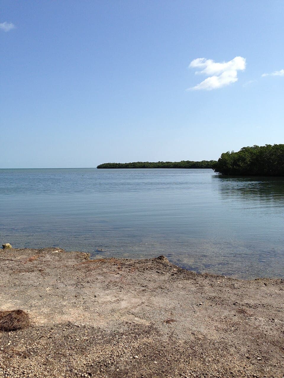
Start at the Paradise Drive access on State Road 4A / Watson Road on No Name Key. Roadside parking is reported near the road-edge trailhead; a dedicated lot and its capacity were not confirmed.

Overseas Highway, FL
A flat, rustic two-mile walk through No Name Key refuge habitat.
Overview
Map & elevation
Plan your hike

The highest, rockiest slopes around here are a summer buffet for grizzly bears.
Overseas Highway Tour Guide
Parkwolf is a GPS audio tour guide for Overseas Highway. As you drive, it chimes in with what’s ahead: hidden gems, upcoming stops, history, geology, and wildlife, right through your car’s speakers.
See the Overseas Highway audio tourMore stories near here in the app
“Fantastic app with many points of information… It’s great to just turn on while you’re driving and it gives you an audio tour of the national Park. We love it!!!!”


Trail guide
Paradise Drive is a mostly level, 2.1-mile out-and-back on a rough refuge fire road on No Name Key. The mapped out leg runs about 1.05 miles south from the State Road 4A access, then bends east to its end. It passes through tropical hardwood hammock and pine rockland, with a mix of shade and open patches. Choose it for a low-key walk through lower Keys habitat, not a polished nature trail.
The refuge’s trail map shows three linked sections totaling 1.05 miles; the return walk makes the visitor route about 2.1 miles. A separate refuge trail listing gives 1.67 miles, so published figures differ. Unmarked gravel branches can look like the main track, and some lead to dead ends; follow the mapped route and turn around at its end. Reports disagree about a view near the end, and no shoreline spur is mapped, so don’t plan this as a coastal walk.
This is an uneven dirt-and-gravel fire road, not a surfaced boardwalk. Low sections can flood during the rainy season, and the refuge warns that poisonwood may overhang the route and irritate skin. Take water; no route-side source is identified. Dogs are allowed on leash, and bicycles are allowed on No Name Key trails. Refuge trails are open from half an hour before sunrise until half an hour after sunset.
The refuge was established in 1957 to protect Key deer and other wildlife. Key deer, a small white-tailed deer subspecies found only in the lower Florida Keys, are part of this landscape, but no particular animal sighting is guaranteed on Paradise Drive. The route’s draw is the transition between hardwood hammock and pine rockland, with the quieter, rough-road feel that comes with it.
Wildlife
 18 sightingsCrocodileMost seen around 6 PMSighting map
 255 sightingsAlligatorMost seen around 6 PMSighting map
 55 sightingsManateeMost seen around 7 AMSighting map
 70 sightingsCommon Bottlenose DolphinMost seen around 9 AMSighting map
 51 sightingsBald EagleMost seen around 8 AMSighting map
 1,120 sightingsKey DeerMost seen around 6 PMSighting map
Sighting maps show where each species has been reported across Overseas Highway. Wildlife moves, so no sighting is guaranteed.
Keep exploring
 EasyBlue Hole Trail0.3 mi · 20 min · 3.7 mi awayA shaded stroll around a freshwater quarry with wildlife to watch.
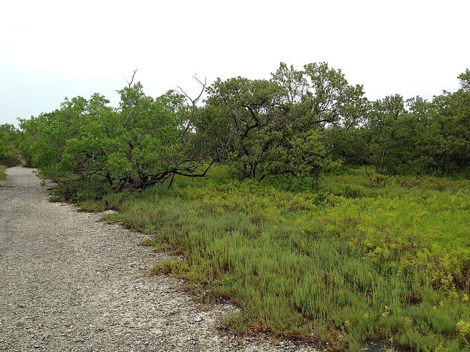 EasyLongbeach Trail2.3 mi · 1.5 hr · 3.9 mi awayTwo short spurs reach mangroves and open shoreline.
 EasyWatson Trail0.8 mi · 36 min · 3.9 mi awayA short loop through pine rockland and water-filled limestone holes.
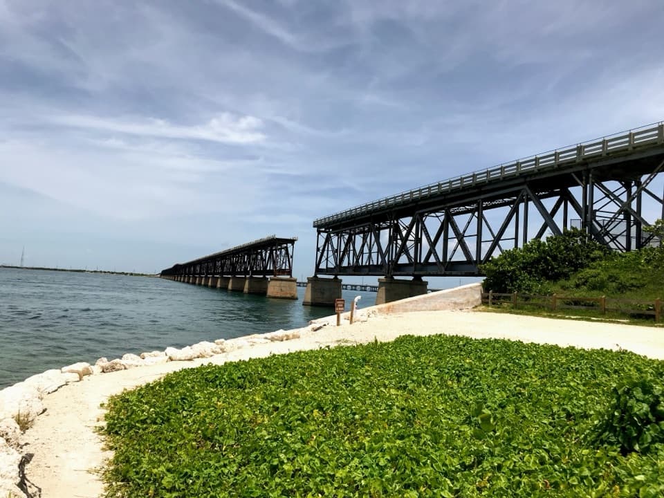 EasyOld Bahia Honda Bridge Trail0.4 mi · 30 min · 3.9 mi awayA short stair climb earns a sweeping view over the water.
 EasyMannillo Trail0.3 mi · 15 min · 3.9 mi awayA short limestone path to a wetland deck in pine rockland.
 EasySilver Palm Nature Trail0.1 mi · 10 min · 4.6 mi awayA quick detour for the silver-backed palm fronds
 EasyButtonwood Trail1.6 mi · 1 hr · 4.7 mi awayA flat, 1.6-mile out-and-back through Big Pine Key wetlands.
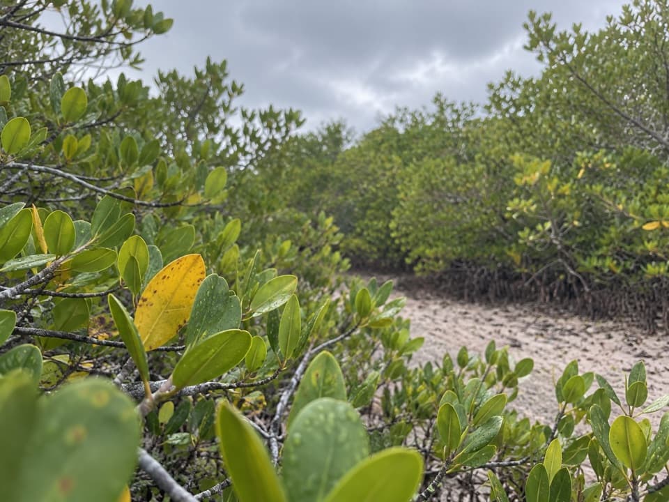 EasyNiles Trail0.3 mi · 15 min · 7.8 mi awayA quick mangrove walk to a water view toward Torch Keys.
 Restaurant · 1.9 mi awayNo Name PubPizza with a 1960s recipe under a ceiling of dollar bills.
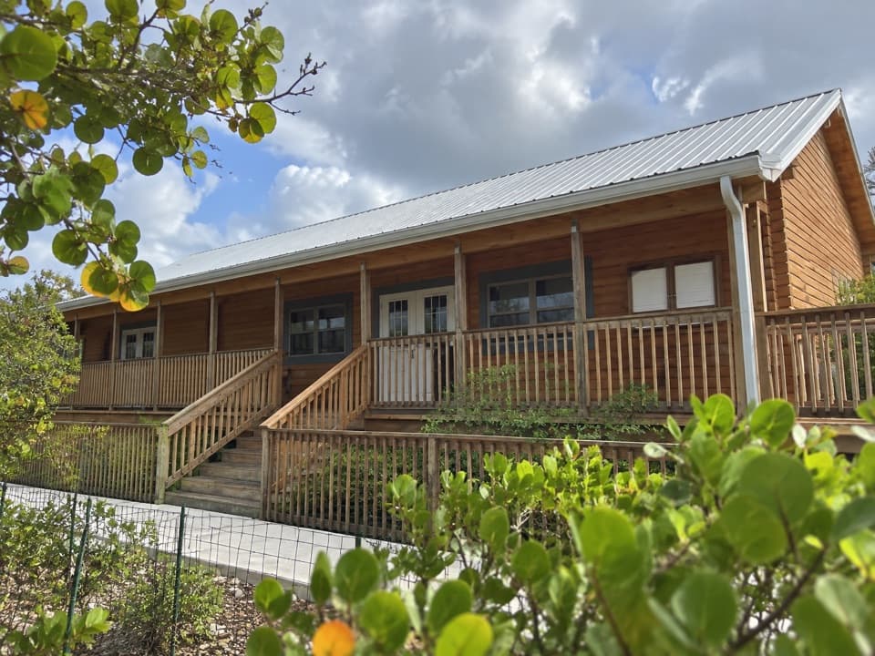 Visitor center · 2.8 mi awayFlorida Keys National Wildlife Refuges Nature CenterA useful first stop before heading out to look for Key deer.
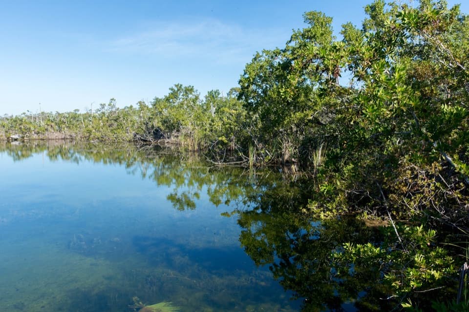 Sight · 3.7 mi awayBlue HoleA freshwater quarry with alligators, tarpon and an easy viewing platform.
 Campground · 3.9 mi awayButtonwood Campground48 gravel sites for tents and RVs, including waterfront spots.
 Beach · 3.9 mi awayCalusa BeachA shallow bay beach beside the broken railway bridge.
 Lodging · 3.9 mi awayBahia Honda Bayside CabinsRaised duplexes make this a bay-side stay inside the park.
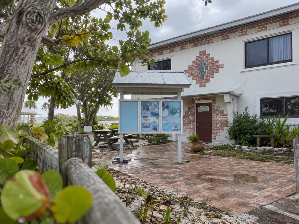 Visitor center · 3.9 mi awayBahia Honda Sand and Sea Nature CenterA quick wildlife exhibit beside Calusa Beach.
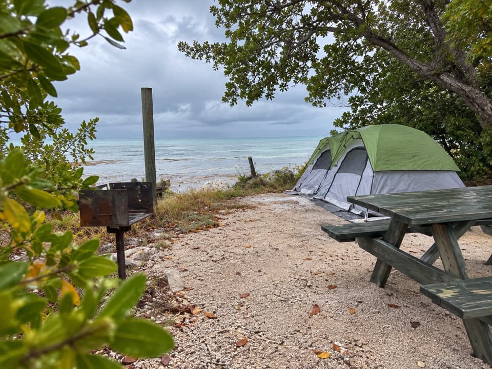 Campground · 3.9 mi awayBayside CampgroundEight bayside sites have water and grills, but no electricity.
Parkwolf’s Overseas Highway ranking

The audio tour guide for the drive, plus offline maps, trails, and wildlife heatmaps for when the signal drops.