Parking
Small roadside pullout at the Cheewhat Giant Trailhead on Rosander Main; no formal lot or capacity was found. Keep fully off the industrial road and check current road and bridge notices before driving in.
#8 of 19 trails in Pacific Rim
Pacific Rim National Park Reserve, BC
A rough rainforest hike to Canada’s largest living cedar by volume.
Overview
Map & elevation
Plan your hike

The highest, rockiest slopes around here are a summer buffet for grizzly bears.
Pacific Rim Tour Guide
Parkwolf is a GPS audio tour guide for Pacific Rim National Park Reserve. As you drive, it chimes in with what’s ahead: hidden gems, upcoming stops, history, geology, and wildlife, right through your car’s speakers.
See the Pacific Rim audio tour“Fantastic app with many points of information… It’s great to just turn on while you’re driving and it gives you an audio tour of the national Park. We love it!!!!”


Trail guide
Cheewhat Giant Trail is a 1.4-mile (2.25-km) out-and-back from Rosander Main to the Cheewhat Giant. That is the full return distance; the app map follows the roughly 0.68-mile trail corridor once, and you come back the same way. Allow about 1½ hours, longer if the route is hard to follow. This is a short destination hike for confident hikers who are comfortable with a rough, informal trail and a long logging-road drive, not a quick walk on an easy boardwalk.
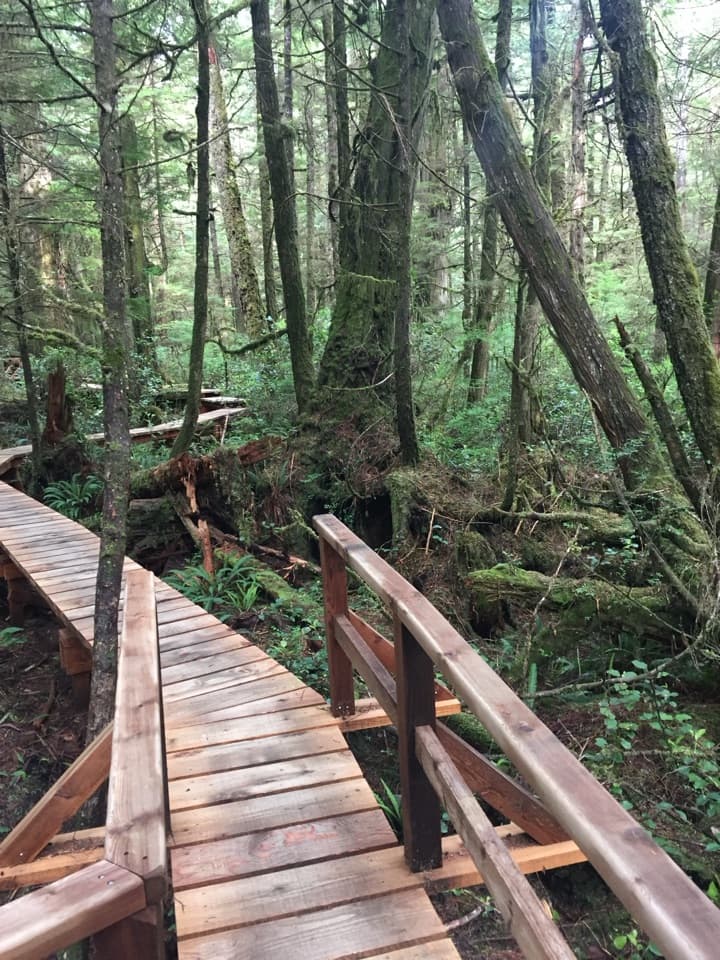
The roadside start leads across a logged clearing and slash to the old-growth edge, where route accounts describe fallen trees. The track drops through blowdown to a fern-covered flat among large cedars. It then crosses a low ridge, doubles back along a bench through salal and cedar-hemlock rainforest, and descends past two large redcedars to the Giant. The route stays enclosed by forest; its payoff is the grove and enormous tree, not a lake panorama. Return on the same path.
The modest distance hides steep, uneven ground. Accounts describe roots, rocks, deadfall and short scrambles, with flagging that can be difficult to follow. One visitor reported rope aids, but their current presence and condition are unknown. No current trail maintenance or ground conditions were verified, so allow extra time and be ready to turn back if you lose the route. The simple mileage does not capture the remote access or the wayfinding effort.
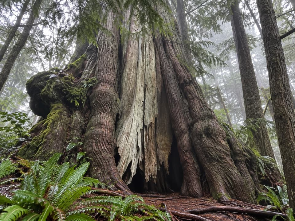
This western redcedar is about 55 metres tall and 6 metres across, and is widely described as Canada's largest living tree by volume. Look for the pale stripped strip down its broad trunk and the hollow at its base; a low angle with a person beside it shows its scale. The Giant stands on Ditidaht territory. Modern accounts credit Maywell Wickheim with identifying its record size in 1988, while making clear that this was not the first time Ditidaht people knew this forest; they have lived in the area for thousands of years.
The trailhead is a small roadside pullout on Rosander Main, an industrial logging road, with no formal lot or verified parking capacity. Keep your vehicle fully clear of the road. Road and bridge reports have differed, and access to the exact trailhead was not confirmed; check current local road notices before setting out. No toilet, drinking water or food stop was found at the trailhead. Pet rules are unconfirmed, so check with Parks Canada before bringing a dog.
Wildlife
 11 sightingsOrcaMost seen around 10 AMSighting map
 16 sightingsHumpback WhaleMost seen around 5 PMSighting map
 174 sightingsBlack BearMost seen around 8 PMSighting map
 16 sightingsSea OtterMost seen around 6 PMSighting map
 134 sightingsSteller Sea LionMost seen around 6 PMSighting map
 18 sightingsCalifornia Sea LionMost seen around noonSighting map
Sighting maps show where each species has been reported across Pacific Rim. Wildlife moves, so no sighting is guaranteed.
Keep exploring
 Campground · 7.5 km awayCribs Creek CampgroundA beach campsite with a creek, breakwater and tide pools.
 Restaurant · 8.7 km awayNitinaht CrabshackA family-run hot meal halfway along the West Coast Trail.
 Sight · 9.1 km awayCarmanah Point LighthouseAn 1891 lightstation tied to the coast’s shipwreck and telegraph stories.
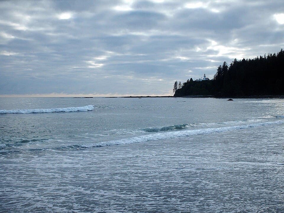 Campground · 9.7 km awayCarmanah Creek CampgroundBeachside camping beside the creek crossing, around km 46.
 Campground · 10.9 km awayBonilla Point CampgroundA West Coast Trail camp beside sea stacks and Bonilla Falls.
 Sight · 12.9 km awayTsusiat Point Hole-in-the-WallA wave-carved arch to walk through when the tide allows.
 Visitor center · 13.7 km awayBalaats’adt (Nitinaht Village) Orientation CentreA required briefing before the West Coast Trail water-taxi transfer.
 Campground · 13.8 km awayWalbran Creek CampgroundA strategic camp before the West Coast Trail's toughest forest stretch.
Parkwolf’s Pacific Rim ranking

The audio tour guide for the drive, plus offline maps, trails, and wildlife heatmaps for when the signal drops.