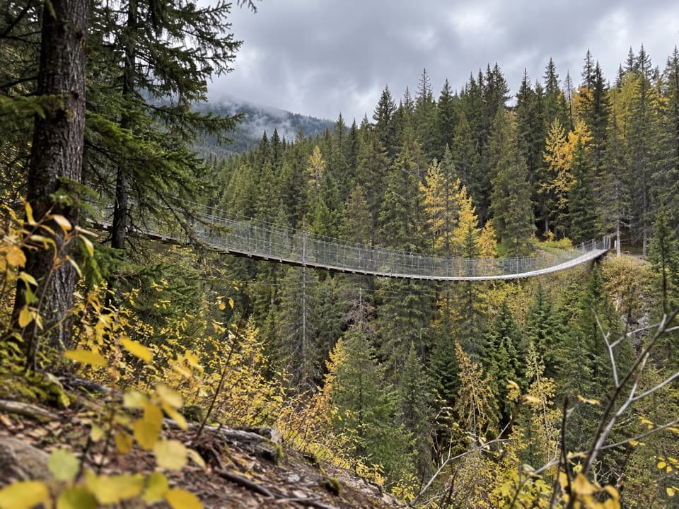
Blackshale Creek Suspension Bridge in Peter Lougheed Provincial Park

#2 of 14 sights in Peter Lougheed

Sight · Peter Lougheed Provincial Park

Blackshale Creek Suspension Bridge

A 73-metre span makes a creek crossing the payoff.

Type
Sight
Nearest trail
0.2 km
Audio stories
6 nearby
  • Scenic viewpoint

Hear the audio tour

Blackshale Bridge: The Forest Crossing

Overview

About Blackshale Creek Suspension Bridge

Why stop

  • A long cable span makes the creek crossing distinctive.

Heads up

  • The quick roadside start is unmarked and has no formal parking lot.

Map

Where it is

Loading the Peter Lougheed map
Full map
SightBlackshale Creek Suspension Bridge50.69919, -115.17390
Keep this map with you offline in the Parkwolf app

Plan your stop

Before you go

4 active Peter Lougheed alerts

  • CautionBlack Prince Cirque Trail bridge warningMentions this placeBlack Prince Cirque Interpretive Trail is listed with a warning for a washed-out bridge; the trail does not access the Blackshale Creek Suspension Bridge.Official details
  • ClosureTrail closures and Three Isle detourThree trail sections remain closed; stay out of closed areas and follow the signed Three Isle detour to reach the open backcountry campgrounds.Official details

See all 4 alerts
A park ranger sits on a dash-mounted phone, talking, as Parkwolf’s Tour Guide plays “Army Cutworm Moths: A Grizzly Bear Buffet” on Grand Loop Road below Dunraven Pass in Yellowstone
Parkwolf Tour GuideThe highest, rockiest slopes around here are a summer buffet for grizzly bears.

Peter Lougheed Tour Guide

Your drive to Blackshale Creek Suspension Bridge, narrated.

Parkwolf is a GPS audio tour guide for Peter Lougheed Provincial Park. As you drive, it chimes in with what’s ahead: hidden gems, upcoming stops, history, geology, and wildlife, right through your car’s speakers.

See the Peter Lougheed audio tour

Recorded for this place

Blackshale Bridge: The Forest Crossing
0:00 / 0:30
“You're approaching the roadside access for Blackshale Creek Suspension Bridge, a seventy-three-metre span over a forested gorge.”

Plays as you drive up to Blackshale Creek Suspension Bridge in the Parkwolf Peter Lougheed Tour Guide.

More stories near here in the app

  • Black Prince Day Use: A Picnic Break
  • Peninsula Day Use: The Short Viewpoint Walk
  • South Lawson Peak: The Ridge Above the Lakes
  • Canyon Day Use: The Lake and the Lost Trail
  • 41 audio storiesacross Peter Lougheed’s roads, triggered by GPS as you drive
  • Wildlife heatmapsfor Grizzly Bear, Canada Lynx, Black Bear, and 13 more
  • Works offlinemaps, 66 trails, 41 places, and audio download before you lose signal
  • CarPlay readysimple controls built for the drive
★★★★★
“Fantastic app with many points of information… It’s great to just turn on while you’re driving and it gives you an audio tour of the national Park. We love it!!!!”
JMJamesApp Store review
Download Parkwolf on the App StoreGet Parkwolf on Google Play

4.7 from 8,600+ ratings

Guide

More about Blackshale Creek Suspension Bridge

A long crossing in the treesBlackshale Creek Suspension Bridge is a 73-metre cable footbridge over a steep creek gorge on…

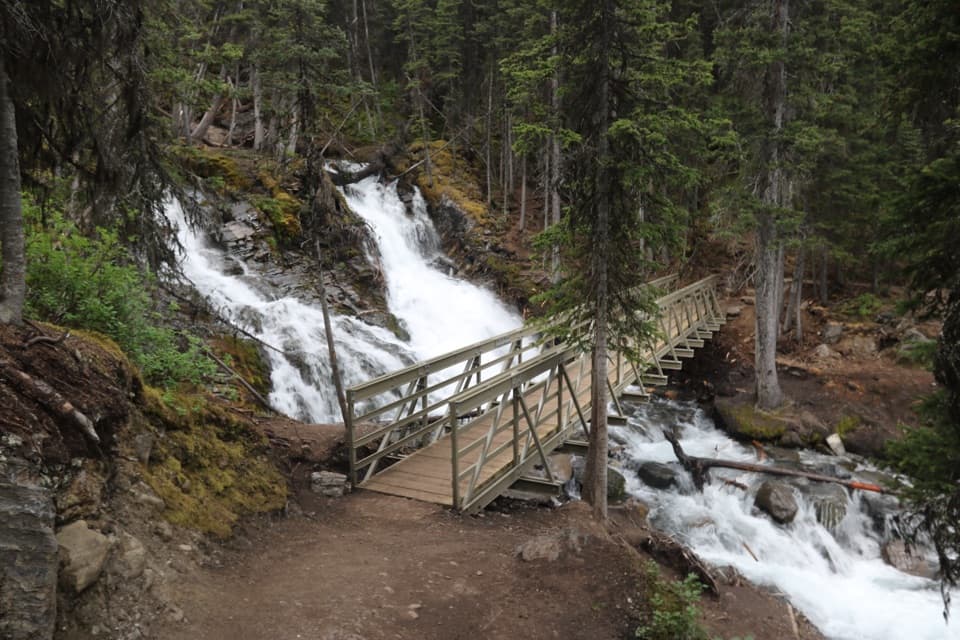
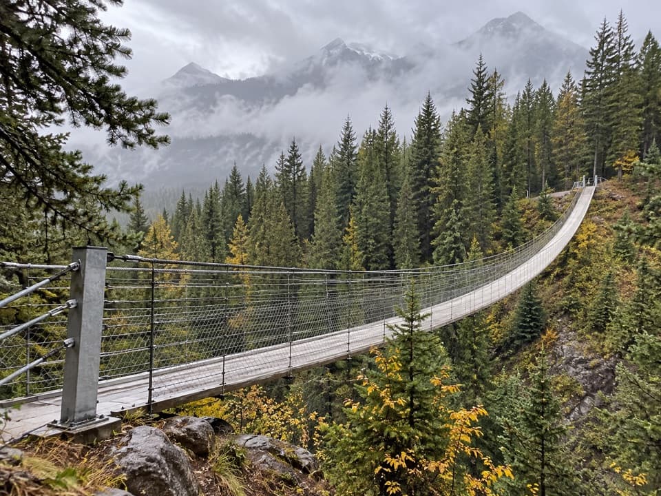
Blackshale Creek Suspension Bridge is a 73-metre cable footbridge over a steep creek gorge on the multi-use High Rockies Trail. Its long deck crosses a forested ravine with mountain views, making the bridge itself the payoff. Stop for the crossing and the view, or include it in a longer hike or ride.

Pick the approach that fitsThe short roadside approach from the Smith-Dorrien/Spray Trail (Highway 742) is about 1 km…

The short roadside approach from the Smith-Dorrien/Spray Trail (Highway 742) is about 1 km return, with a short uphill walk. Its start is unmarked and there is no formal parking lot, so it is easy to miss. The longer route starts at Black Prince Day Use and follows the High Rockies Trail for 6.8 km return; pit toilets are available at that staging area. Download directions before leaving because cell service is not typically available along this highway. A Kananaskis Conservation Pass is required for parked vehicles.

On the spanThe walk to the bridge is brief from the roadside but has a noticeable uphill section.

The walk to the bridge is brief from the roadside but has a noticeable uphill section. Hikers and mountain bikers share the High Rockies Trail. Look along the 73-metre deck to take in its suspended curve, then turn toward the creek gorge, forest and mountains around it. For a photo, include as much of the curving deck as you can with the trees behind it; the view from the bridge brings the surrounding mountains into the frame.

Why it hangs this wayBuilt in 2016–17, the bridge lets trail users cross Blackshale Creek directly instead of…

Built in 2016–17, the bridge lets trail users cross Blackshale Creek directly instead of detouring around its steep creek bed. Its catenary design uses paired main wire ropes, hanging cables to support the deck, cyclist-oriented guardrails and wind bracing.

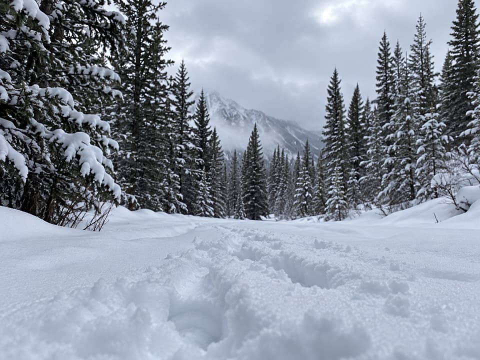
In winterThe bridge itself closes seasonally in winter, while a bypass trail remains open.

The bridge itself closes seasonally in winter, while a bypass trail remains open. Check current route information before setting out.

Wildlife

Wildlife in Peter Lougheed

All Peter Lougheed wildlife maps

Sighting maps show where each species has been reported across Peter Lougheed. Wildlife moves, so no sighting is guaranteed.

Keep exploring

Near Blackshale Creek Suspension Bridge

See it all on the map

Trails nearby

More stops nearby

Parkwolf’s Peter Lougheed ranking

Top sights in Peter Lougheed

All 41 places
  1. 1Highwood Pass Day UseSight
  2. 3Rawson LakeSight
  3. 4Chester LakeSight
  4. 5Sarrail FallsSight
  5. 6Elbow LakeSight
  6. 7Panorama Day Use AreaSight

Take Parkwolf to Peter Lougheed.

The audio tour guide for the drive, plus offline maps, trails, and wildlife heatmaps for when the signal drops.

4.7 from 8,600+ ratings

Download Parkwolf on the App StoreGet Parkwolf on Google Play