Parking
Black Prince Day Use Area, off Smith-Dorrien/Spray Lakes Road. Pit/vault toilets are listed at the access; no food service was found. A Kananaskis Conservation Pass is required for vehicles parked in the area.

Peter Lougheed Provincial Park, AB
Cairns lead beyond Warspite Lake to an unsigned alpine cirque.
Overview
Map & elevation
Plan your hike

The highest, rockiest slopes around here are a summer buffet for grizzly bears.
Peter Lougheed Tour Guide
Parkwolf is a GPS audio tour guide for Peter Lougheed Provincial Park. As you drive, it chimes in with what’s ahead: hidden gems, upcoming stops, history, geology, and wildlife, right through your car’s speakers.
See the Peter Lougheed audio tourRecorded for this trailhead
Black Prince Day Use: A Picnic Break“Black Prince Day Use Area is ahead, a practical place to pause for a picnic on the Smith-Dorrien drive. I'd stop here if you've brought lunch and want a break from the road.”
Plays as you drive up to this trailhead in the Parkwolf Peter Lougheed Tour Guide.
More stories near here in the app
“Fantastic app with many points of information… It’s great to just turn on while you’re driving and it gives you an audio tour of the national Park. We love it!!!!”


Trail guide
Black Prince Lakes Trail is a hard, 6.1-mile (9.8-km) out-and-back from Black Prince Day Use Area to a high cirque basin and back. Plan about five hours. The mapped line climbs roughly 570 metres from the trailhead to its upper end. It follows the established forest approach to Warspite Lake, then continues on an unsigned route beside Warspite Creek, across meadow and cairned boulders, and steeply past Warspite Cascades into open alpine terrain. This entry’s route ends at the mapped basin; it does not promise a clear path to the lake shore.
The opening approach is the easier part: a broad trail and old road through forest lead toward Warspite Lake. The signed Black Prince Cirque interpretive loop to that lake is a separate, shorter outing. For the upper lakes, continue beyond the far side of Warspite Lake on a faint, unsigned continuation. Cairns help across the boulder field, but this is not a maintained, signed path. Keep track of the creek valley and be ready to retrace if the cairns or tread become uncertain. The upper route line is best treated as an approximate guide to the described basin, not an official track.
The steepest work comes above the creek and beside the cascades, where the tread gets rough and loose. The route then opens into a broad cirque below Mount Warspite, with views back down the valley and across the moraine. A moraine ridge can obscure the lake, and its water level changes: some visits find only small pools or no obvious lake. The stored endpoint is the basin, not a guaranteed lakeside turnaround. The route distance here includes the day-use approach and return, and stops before any ridge or summit extension.
Glaciers carved the bowl and left the terminal moraine that now divides the basin. In wet conditions, pools can merge visually; in drier parts of summer the water may retreat. Summer flowers add color to the meadows, including glacier lilies reported in the upper valley. The cascades, boulder field and shifting lake basin make the upper half feel more like a rough alpine route than a conventional day-use trail.
Black Prince Day Use Area has pit/vault toilets and no food service was found at the access. A Kananaskis Conservation Pass is required for vehicles parked in the area. Dogs are allowed on leash. Alberta Parks lists a 35-person group limit for the signed lower trail; no separate limit for the unsigned continuation was found, so large groups should confirm the rule before setting out. The upper valley contains serious avalanche terrain; do not treat this summer route as a winter hiking line.
Wildlife
 132 sightingsGrizzly BearMost seen around 8 PMSighting map
 17 sightingsCanada LynxMost seen around 8 PMSighting map
 30 sightingsBlack BearMost seen around 6 AMSighting map
 69 sightingsMooseMost seen around 5 PMSighting map
 176 sightingsBighorn SheepMost seen around 6 PMSighting map
 19 sightingsBald EagleMost seen around 8 AMSighting map
Sighting maps show where each species has been reported across Peter Lougheed. Wildlife moves, so no sighting is guaranteed.
Keep exploring
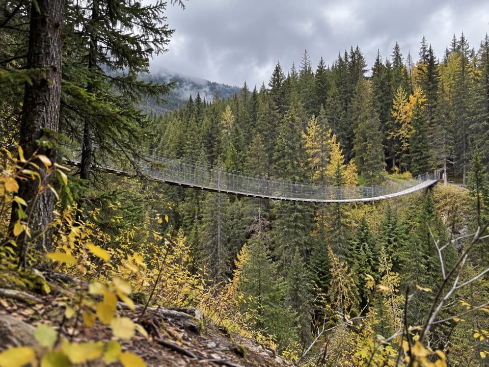 EasyBlack Shale Suspension Bridge Trail6.8 km · 2 hr · At the trailheadA forest walk builds to a 73 m suspension bridge.
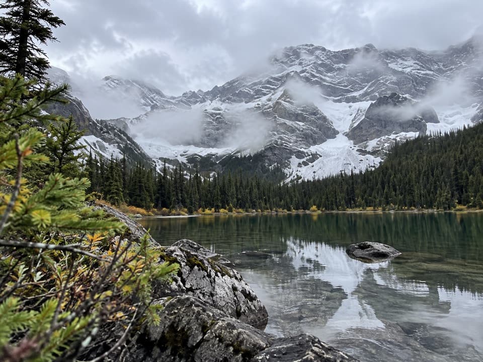 ChallengingWarspite Ridge Trail10 km · 4.5 hr · At the trailheadA steep, hands-on climb to the ridge above Warspite Lake.
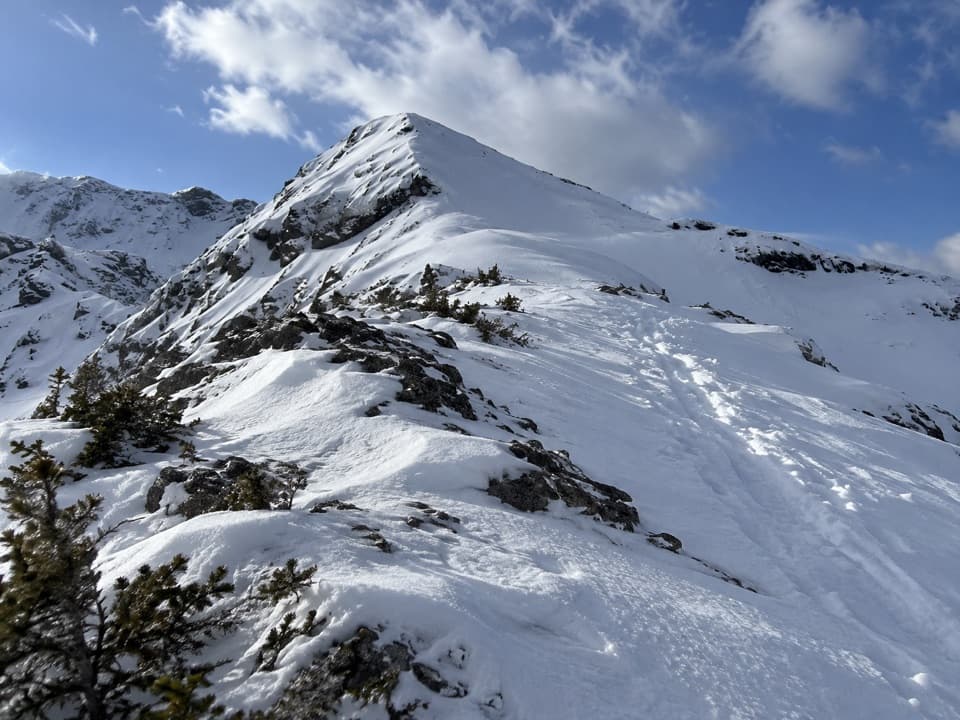 ChallengingBlacksmith Ridge Trail via Smith-Dorrien Creek6.8 km · 4 hr · 1.4 km awayA steep climb with a hidden fork and an open ridge.
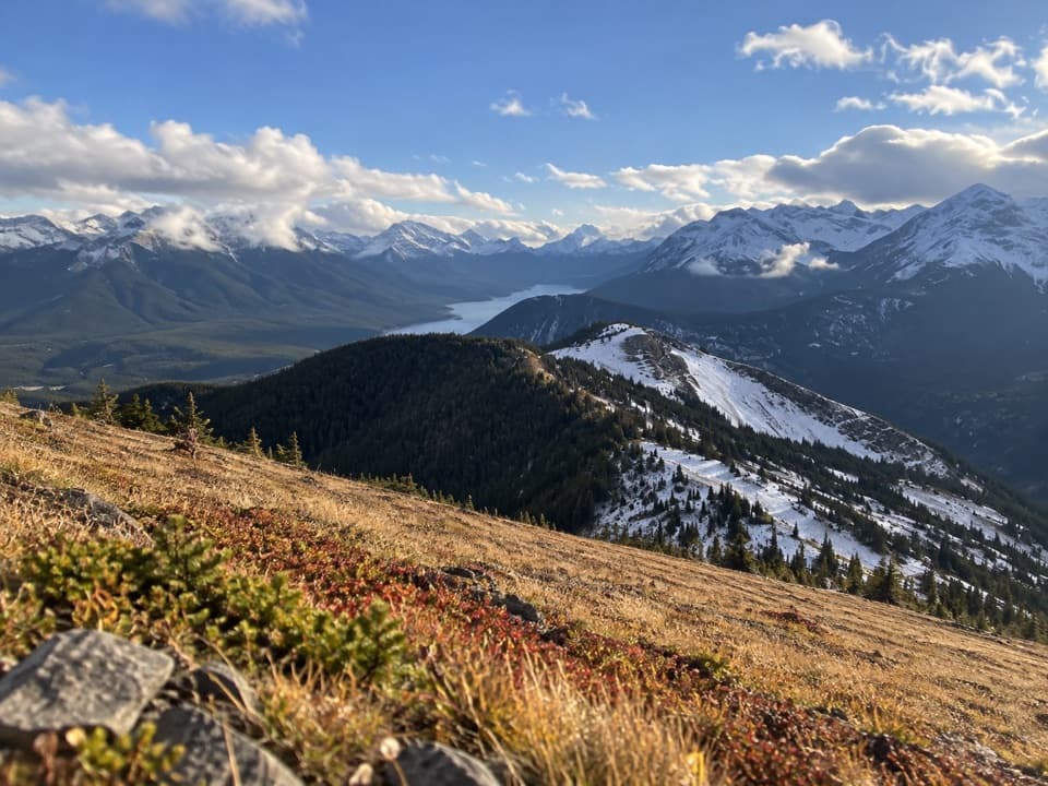 ChallengingKent Ridge South Trail7 km · 4 hr · 2 km awayTwo south-ridge summits, a tough climb, and lakes below.
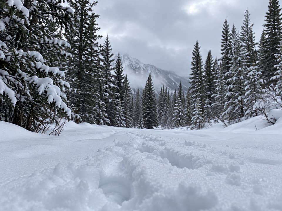 ChallengingGypsum Ridge Trail5.1 km · 3 hr · 2.1 km awayA steep, unsigned ridge climb to wide views over the Kananaskis Lakes.
 ChallengingSouth Lawson Peak Trail7.8 km · 5.5 hr · 4.6 km awayA steep forest climb opens onto a rocky ridge above two lakes.
 ModerateLower Lake Trail7 km · 1.8 hr · 5 km awayA shoreline walk with Spray Range views across Lower Kananaskis Lake.
 EasyPenstock Loop Snowshoe Trail4.5 km · 1.8 hr · 5 km awayA winter loop with waterworks history and wide lake views.
 Picnic area · At the trailheadBlack Prince Day Use AreaA practical picnic break on the Smith-Dorrien drive.
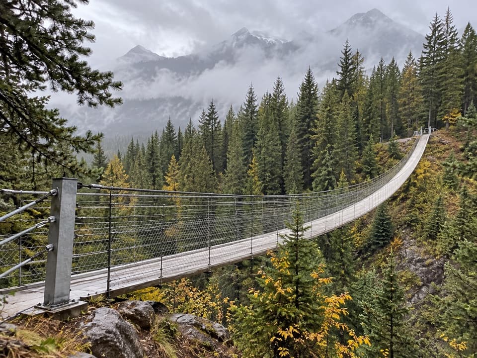 Sight · 1.9 km awayBlackshale Creek Suspension BridgeA 73-metre span makes a creek crossing the payoff.
 Picnic area · 4.3 km awayPeninsula Day Use AreaA lakeside picnic stop with a short Lower Kananaskis Lake viewpoint walk.Picnic area · 5.1 km awayCanyon Day Use AreaLake access and picnic tables under a rugged mountain wall.
 Campground · 5.6 km awayCanyon CampgroundA first-come, 50-site base for lake-area hikes and paved cycling.
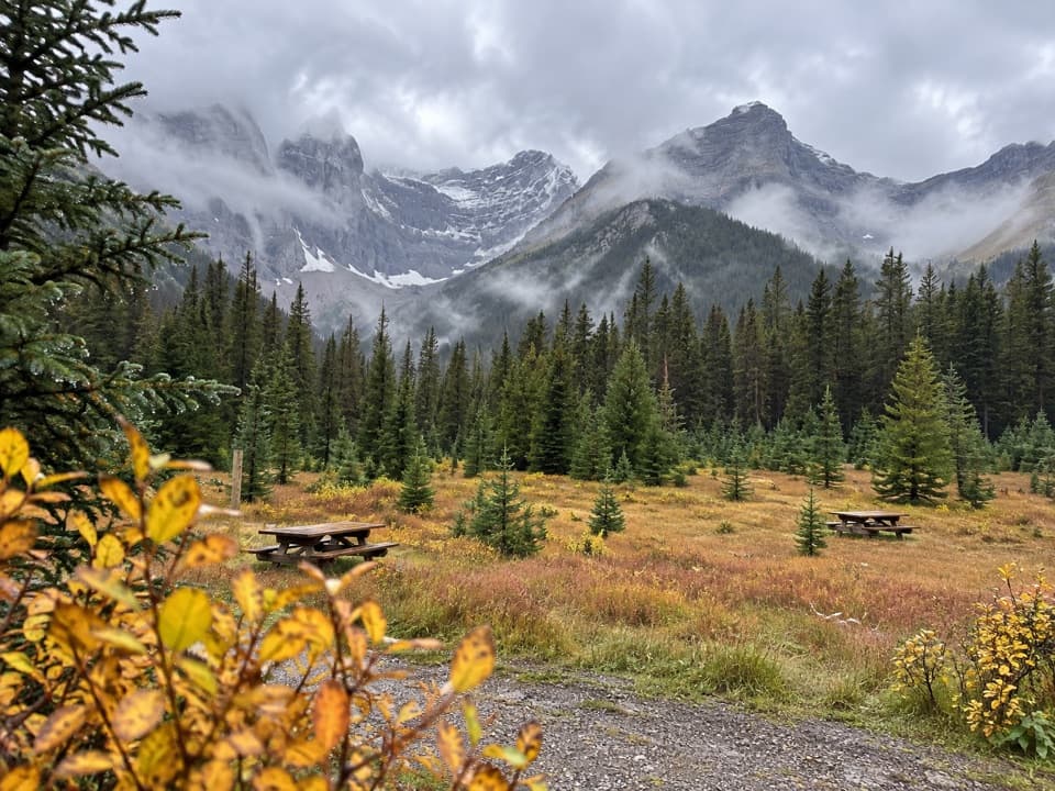 Picnic area · 5.7 km awaySawmill Day Use AreaA useful break for views of Mount Murray and Kent Ridge.
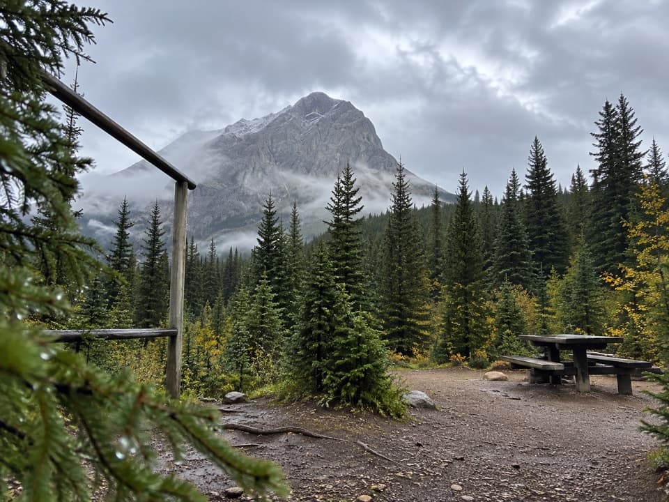 Campground · 5.8 km awayTurbine Canyon Backcountry CampgroundA 15-site forest camp reached by a long Kananaskis hike.
 Sight · 6 km awayPocaterra Warming HutA heated hut beside several cross-country ski trail starts.
Parkwolf’s Peter Lougheed ranking

The audio tour guide for the drive, plus offline maps, trails, and wildlife heatmaps for when the signal drops.





