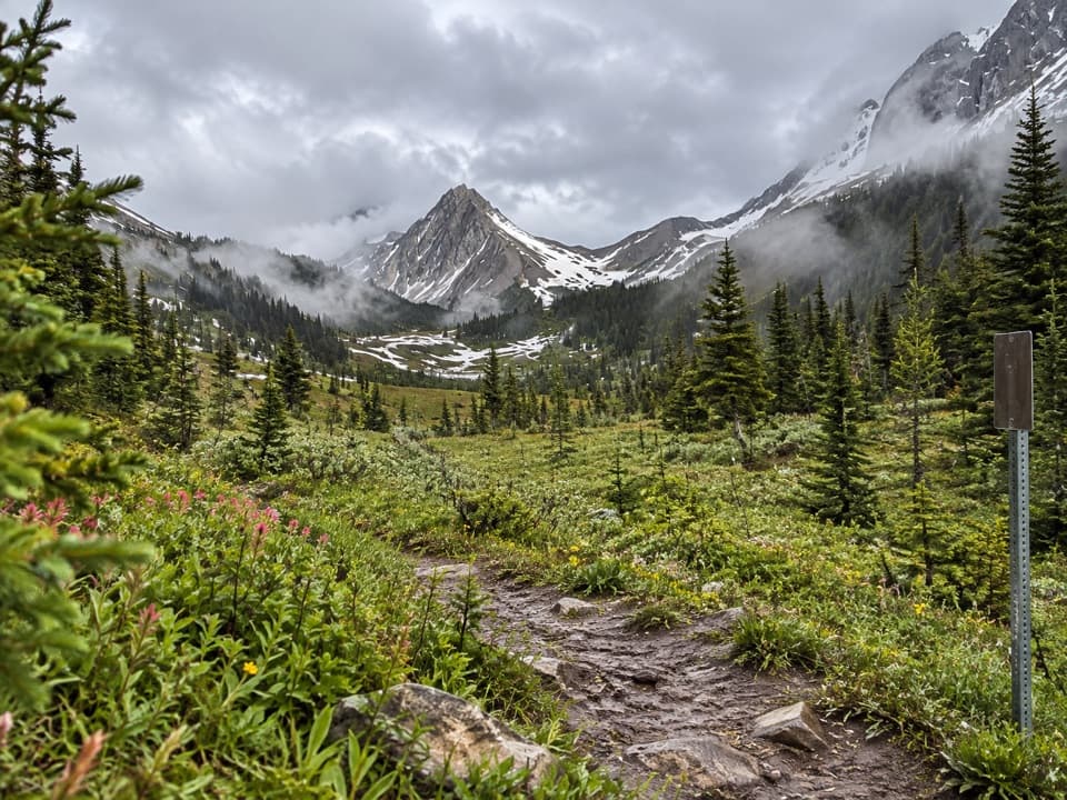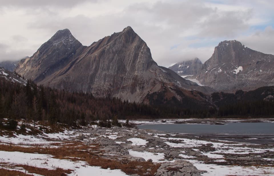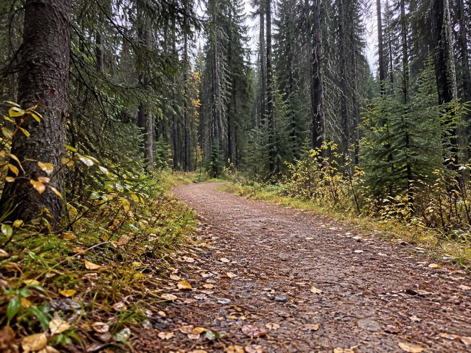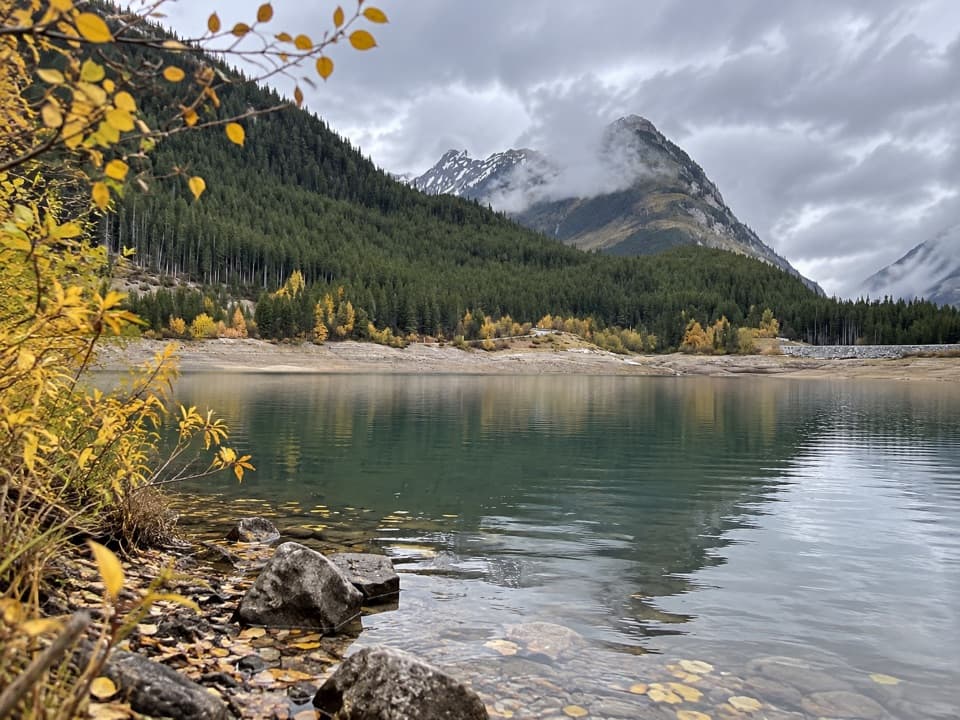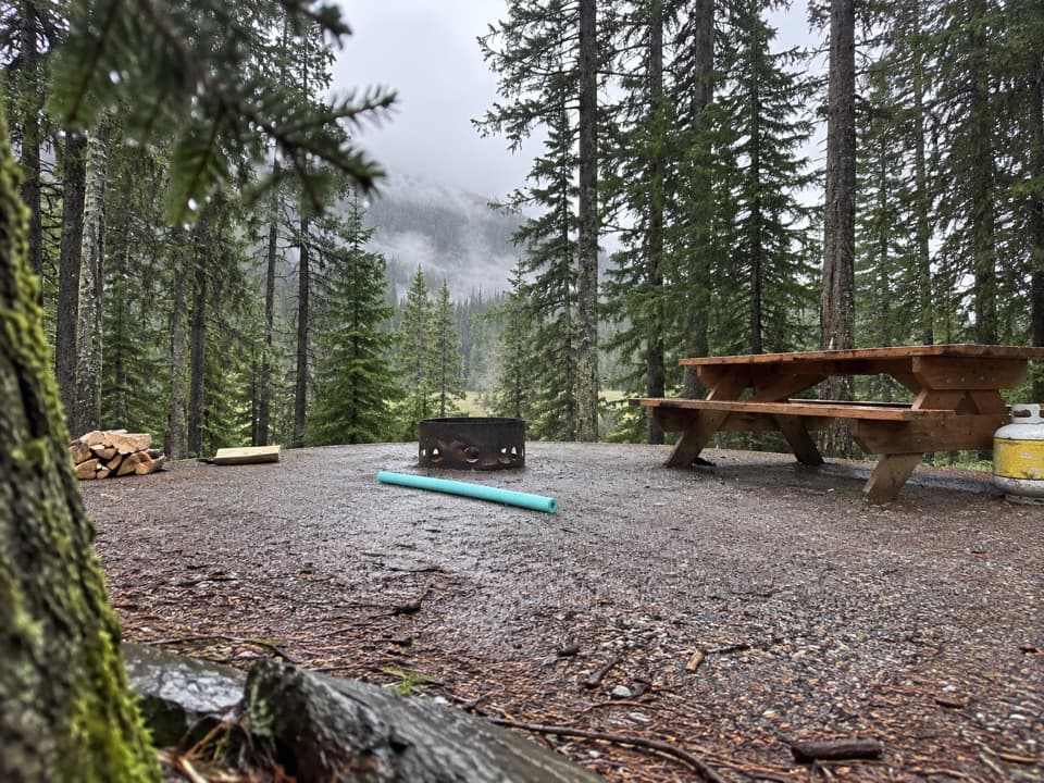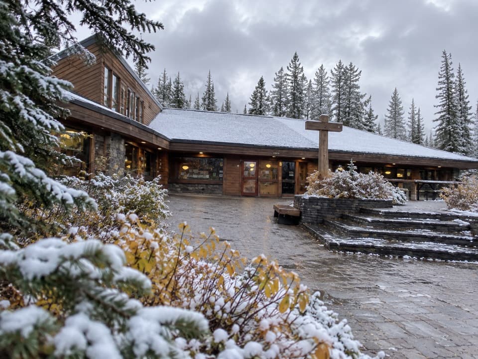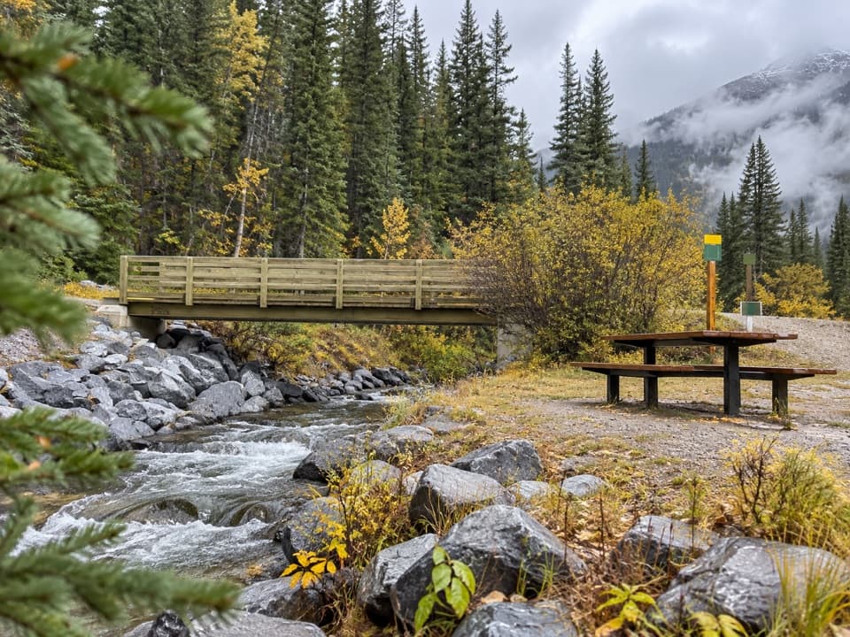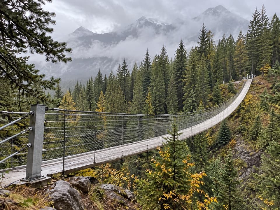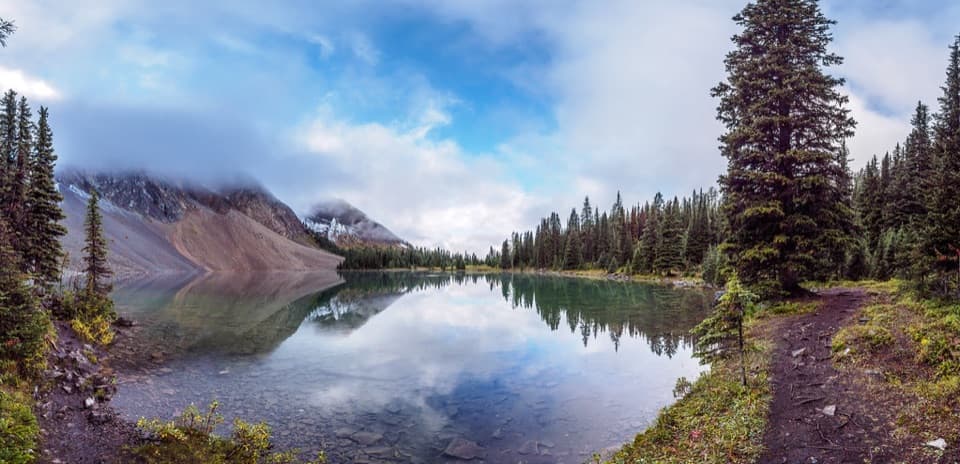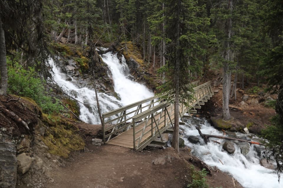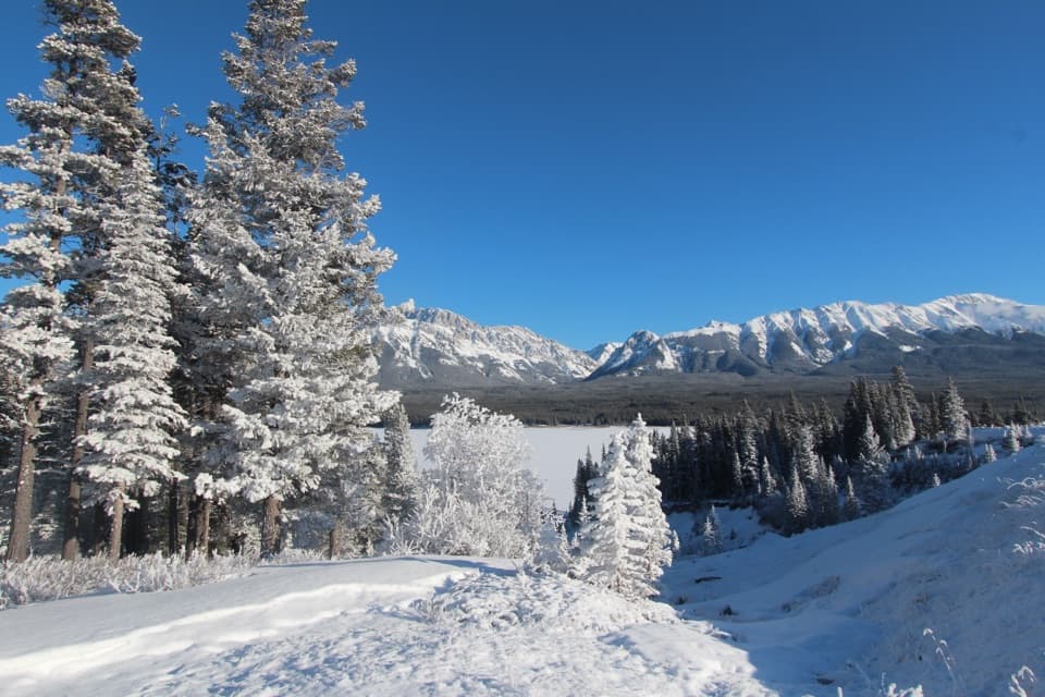
Panorama Day Use Area in Peter Lougheed Provincial Park

#7 of 14 sights in Peter Lougheed

Sight · Peter Lougheed Provincial Park

Panorama Day Use Area

A quick Lower Lake view framed by the Wintour Range.

Photo: Wikimedia Commons
Type
Sight
Nearest trail
0.2 km
Audio stories
6 nearby
  • Parking
  • Scenic viewpoint

Hear the audio tour

North Interlakes and Panorama: Two Lake Views

Overview

About Panorama Day Use Area

Why stop

  • A broad Lower Lake and Wintour Range panorama from the shore.

Map

Where it is

Loading the Peter Lougheed map
Full map
SightPanorama Day Use Area50.63317, -115.13876
Keep this map with you offline in the Parkwolf app

Plan your stop

Before you go

4 active Peter Lougheed alerts

  • ClosureTrail closures and Three Isle detourThree trail sections remain closed; stay out of closed areas and follow the signed Three Isle detour to reach the open backcountry campgrounds.Official details
  • CautionBear activity near Elpoca and ValleyviewFrequent bear activity has been noted along Valleyview Road from Elpoca Day Use Area south to Highway 40, near Little Highwood Pass and Valleyview Day Use Areas; use bear precautions.Official details

See all 4 alerts
A park ranger sits on a dash-mounted phone, talking, as Parkwolf’s Tour Guide plays “Army Cutworm Moths: A Grizzly Bear Buffet” on Grand Loop Road below Dunraven Pass in Yellowstone
Parkwolf Tour GuideThe highest, rockiest slopes around here are a summer buffet for grizzly bears.

Peter Lougheed Tour Guide

Your drive to Panorama Day Use Area, narrated.

Parkwolf is a GPS audio tour guide for Peter Lougheed Provincial Park. As you drive, it chimes in with what’s ahead: hidden gems, upcoming stops, history, geology, and wildlife, right through your car’s speakers.

See the Peter Lougheed audio tour

Recorded for this place

North Interlakes and Panorama: Two Lake Views
0:00 / 0:33
“North Interlakes Day Use Area is coming up, with a broad view across Upper Kananaskis Lake without a hike.”

Plays as you drive up to Panorama Day Use Area in the Parkwolf Peter Lougheed Tour Guide.

More stories near here in the app

  • Lower Lake Day Use: A Winter Lakeshore Stop
  • Boulton Creek: Trading Post and Creekside Break
  • From Beaver Pond to Meadow
  • Elk Pass: A Meadow on the Provincial Boundary
  • 41 audio storiesacross Peter Lougheed’s roads, triggered by GPS as you drive
  • Wildlife heatmapsfor Grizzly Bear, Canada Lynx, Black Bear, and 13 more
  • Works offlinemaps, 66 trails, 41 places, and audio download before you lose signal
  • CarPlay readysimple controls built for the drive
★★★★★
“Fantastic app with many points of information… It’s great to just turn on while you’re driving and it gives you an audio tour of the national Park. We love it!!!!”
JMJamesApp Store review
Download Parkwolf on the App StoreGet Parkwolf on Google Play

4.7 from 8,600+ ratings

Guide

More about Panorama Day Use Area

Take the quick Lower Lake stopPanorama Day Use Area is a shoreline viewpoint at the southern end of Lower Kananaskis Lake,…

Panorama Day Use Area is a shoreline viewpoint at the southern end of Lower Kananaskis Lake, beside North Interlakes Day Use Area. It is a simple stop for the broad water-and-mountain view if you want a lake pause without setting out on a longer outing. It is a year-round stop. Set your destination to the Panorama pin so you do not confuse it with the separate North Interlakes area.

The lake and the Wintour RangeFrom the southern shore, the lake opens toward the Wintour Mountain Range.

From the southern shore, the lake opens toward the Wintour Mountain Range. The lake and mountain backdrop are the reason to stop. For a photo, include some near-shore trees or shoreline along with the far ridge; that foreground helps show the scale of the water.

A lake reshaped for powerLower Kananaskis Lake began as a natural lake, but Pocaterra Dam and its power plant raised it…

Lower Kananaskis Lake began as a natural lake, but Pocaterra Dam and its power plant raised it 11 metres in 1955 for hydroelectric use. Kent Creek was diverted into the lake in 1956; in 1959, French and Burstall creeks were diverted north toward Spray Lakes. That engineered history sits quietly behind the open-water view.

Keep the visit simpleParking is close by, but this is a scenery stop rather than a meal stop; bring water and a…

Parking is close by, but this is a scenery stop rather than a meal stop; bring water and a snack if you want to linger. A Kananaskis Conservation Pass is required for vehicles parked in Kananaskis Country; check the current requirements before you go.

Wildlife

Wildlife in Peter Lougheed

All Peter Lougheed wildlife maps

Sighting maps show where each species has been reported across Peter Lougheed. Wildlife moves, so no sighting is guaranteed.

Keep exploring

Near Panorama Day Use Area

See it all on the map

Trails nearby

More stops nearby

Parkwolf’s Peter Lougheed ranking

Top sights in Peter Lougheed

All 41 places
  1. 1Highwood Pass Day UseSight
  2. 2Blackshale Creek Suspension BridgeSight
  3. 3Rawson LakeSight
  4. 4Chester LakeSight
  5. 5Sarrail FallsSight
  6. 6Elbow LakeSight

Take Parkwolf to Peter Lougheed.

The audio tour guide for the drive, plus offline maps, trails, and wildlife heatmaps for when the signal drops.

4.7 from 8,600+ ratings

Download Parkwolf on the App StoreGet Parkwolf on Google Play