Pros & cons
PROS
- Firepits for cooking and warmth
- Potable water tap on site
CONS
- Water taps may be turned off in freezing conditions
- Fire bans can temporarily prohibit using the firepits
Overview
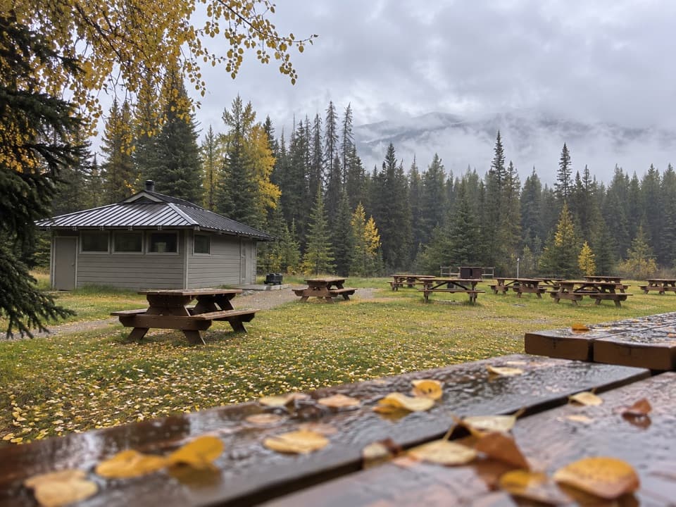
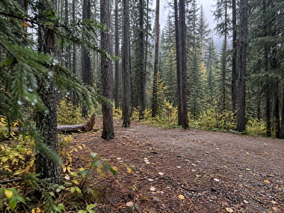
Canyon Day Use Area is a straightforward, year‑round stop that’s more practical than flashy: a comfortable base for a picnic or for launching into four‑season fun nearby. Think firepits, a water tap, and pit toilets—exactly what you need before or after a ride, ski, snowshoe, or mellow outing.
Facilities
- Firepits (subject to fire bans)
- Pit/vault toilets
- Potable water tap
- Pay phone
- Open year‑round; posted hours run roughly 7 AM–11 PM daily
Mapping classifies the site as a boat‑ramp location, and it sits beside signed day‑use infrastructure—handy if you’re meeting friends or staging for a quick outing.
What to Do From Here
- In summer and shoulder seasons: front‑country and backcountry hiking, cycling/mountain biking, and e‑bikes where posted.
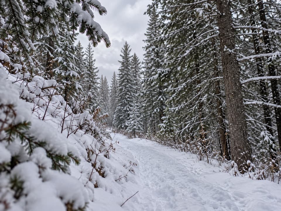
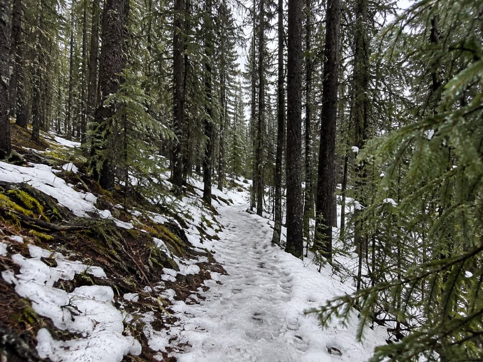
- In winter: cross‑country skiing, fat biking, and snowshoeing on signed routes shown on the park’s winter maps.
- Always follow on‑site signage—permitted activities can vary by area.
Navigation Tip
There’s also a Canyon Campground elsewhere in the park. Don’t mix up the two—watch for the day‑use signs.
Best Time to Visit
The crowd curve peaks around mid‑day; mornings and late afternoons are typically quieter. If you’re planning a relaxed picnic or gearing up for a ski, roll in early or later in the day for easier flow. With daily hours around 7 AM–11 PM, you’ve got flexibility to catch cooler mornings in summer or warmer mid‑day windows in winter.
Maps to Download Before You Go
- “Spray Valley & Peter Lougheed (Geo‑Referenced) Map” for the big picture.
- “Kananaskis Lakes Ski Trails Map” and the seasonal “Winter Trails” brochure for groomed XC routes and signed snowshoe loops.
Current Advisories to Check
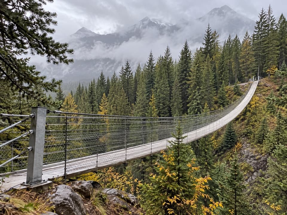
Conditions change. As of November 30, 2025, advisories included the Blackshale Suspension Bridge closure and a bear closure for Kent Ridge North and the James Walker drainage. Verify closures on the park’s advisories page the day you travel. Park info line: 1‑877‑537‑2757.
Need‑to‑Know
- Firepits are subject to bans and restrictions—check before striking a match.
- Obey posted signs for activity permissions (including where e‑bikes are allowed).
Where it is
50.6886, -115.1328Tips for Canyon Day Use Area
- 01Download the Spray Valley & Peter Lougheed geo‑referenced map for offline use.
- 02Check the park’s advisories the morning you go—closures change quickly.
- 03If you need a landmark, look for the signed day‑use area and boat‑launch setting.
- 04Don’t confuse this with Canyon Campground—watch the signage when navigating.
- 05In winter, plan for midday water shutoffs and bring extra drinking water.
Amenities
Near Canyon Day Use Area
All places →All trails →
0.1 mi awayCanyon CampgroundFCFS basecamp near Lower Kananaskis Lake with big, quiet sitesCampground · Restroom
0.5 mi awayPeninsula Day Use AreaQuiet lakeside picnic nook with big Lower Kananaskis viewsParking · Picnic Table
0.9 mi awayPeter Lougheed Park Discovery and Information CentreTrail intel, exhibits, and dependable Wi‑Fi at the park’s hubVisitor Center · Restroom
1 mi awayPocaterra Warming HutCozy winter hut with heat, flush washrooms and XC trailheadsTrailhead · Parking
1.7 mi awayWilliam Watson Lodge Interpretive TrailShort, accessible stroll to Lower Kananaskis Lake with interpretive stopsEasy · 0.3 mi · 18 min
1.8 mi awayMarl Lake Interpretive TrailShort, flat loop to Marl Lake with easy nature signs and views.Easy · 1.9 mi · 1 hr
1.9 mi awayBlackshale Suspension Bridge TrailQuick, kid friendly loop to a swaying 240 ft forest bridge.Easy · 0.6 mi · 30 min
3.1 mi awayHigh Rockies Trail (PLPP Segment)Southern High Rockies sampler with bridges, lakes, and quiet forestModerate · 10.6 mi · 6 hr