Parking
Unmarked roadside parking on the south side of AB-742, about 150 m southeast of the Blackshale Creek Suspension Bridge trailhead. There is no dedicated lot or signed trailhead. A Kananaskis Conservation Pass is required for vehicle parking.
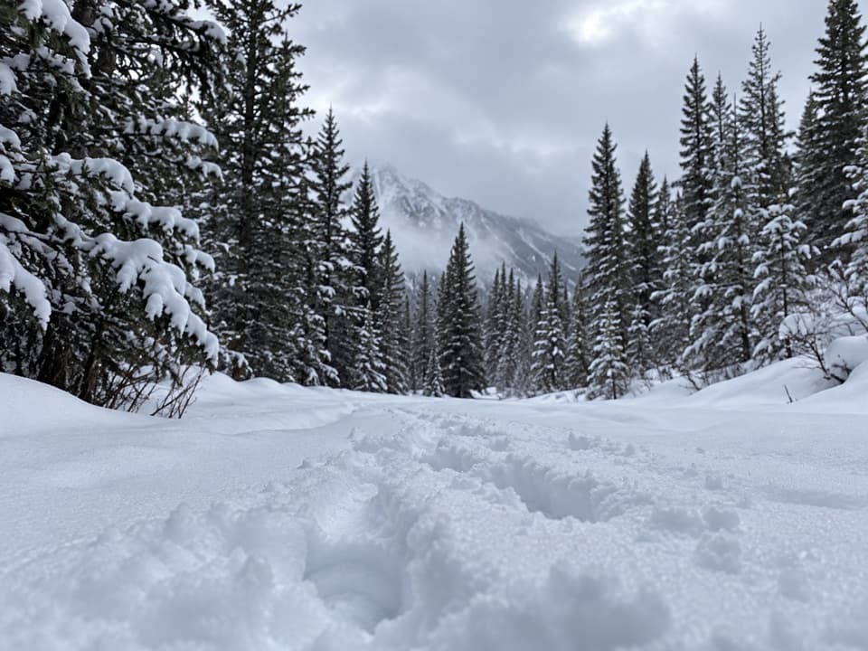
Peter Lougheed Provincial Park, AB
A steep, unsigned ridge climb to wide views over the Kananaskis Lakes.
Overview
Map & elevation
Plan your hike

The highest, rockiest slopes around here are a summer buffet for grizzly bears.
Peter Lougheed Tour Guide
Parkwolf is a GPS audio tour guide for Peter Lougheed Provincial Park. As you drive, it chimes in with what’s ahead: hidden gems, upcoming stops, history, geology, and wildlife, right through your car’s speakers.
See the Peter Lougheed audio tourRecorded for this area
Blackshale Bridge: The Forest Crossing“You're approaching the roadside access for Blackshale Creek Suspension Bridge, a seventy-three-metre span over a forested gorge.”
Plays on the road 0.1 km from the trailhead in the Parkwolf Peter Lougheed Tour Guide.
More stories near here in the app
“Fantastic app with many points of information… It’s great to just turn on while you’re driving and it gives you an audio tour of the national Park. We love it!!!!”


Trail guide
Gypsum Ridge is an informal, unsigned out-and-back from AB-742 to a ridge viewpoint above Kananaskis Lakes. The mapped trail runs about 2.6 km to the viewpoint, or roughly 5.1 km return, and takes about three hours. One detailed route account gives 6.2 km return, so mileage varies with the line walked. This is a demanding outing, with a steep drop to Smith-Dorrien Creek, a hard climb beyond it and no signs at the start.
The boot-beaten path drops about 70 m to Smith-Dorrien Creek, then climbs roughly 200 m over 0.6 km through forest to Gypsum Mine Road. The grade is steepest on this climb. Above the road, the route rises more gradually through dense trees; there are occasional openings toward Kent Ridge. After fresh snowfall, expect an untracked route; once packed, traction spikes can be easier to manage than snowshoes on the steep section.
Follow the wooded ridge past its high point for about five minutes to the far-end viewpoint over Kananaskis Lakes. The final approach narrows above steep slopes, and its small dip and rise can feel uneasy when icy. From the trail, frame a little of the ridge against the lakes to show how the path runs along the crest; do not step toward the edge for a shot.
The start is an unmarked roadside pull-off on the south side of AB-742, about 150 m southeast of the Blackshale Creek Suspension Bridge trailhead. There is no formal trailhead or dedicated lot. Vehicles parked in Kananaskis Country need a Conservation Pass. Dogs are allowed on leash. The creek crossing changes with the season: spring runoff can raise the water, and a winter snow bridge may not yet have formed or may weaken as temperatures rise. Check winter weather and avalanche conditions before setting out; no current trail-specific condition report was found.
Wildlife
 132 sightingsGrizzly BearMost seen around 8 PMSighting map
 17 sightingsCanada LynxMost seen around 8 PMSighting map
 30 sightingsBlack BearMost seen around 6 AMSighting map
 69 sightingsMooseMost seen around 5 PMSighting map
 176 sightingsBighorn SheepMost seen around 6 PMSighting map
 19 sightingsBald EagleMost seen around 8 AMSighting map
Sighting maps show where each species has been reported across Peter Lougheed. Wildlife moves, so no sighting is guaranteed.
Keep exploring
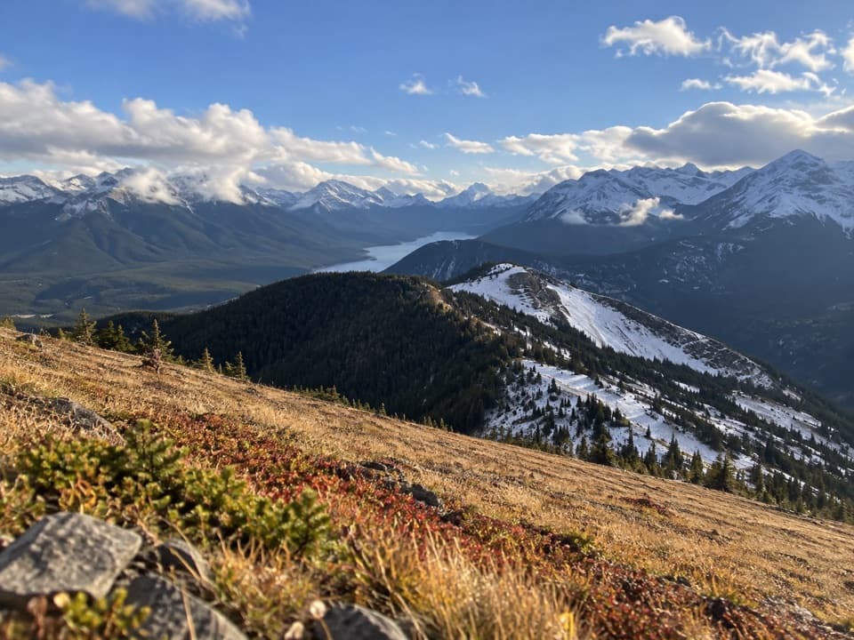 ChallengingKent Ridge South Trail7 km · 4 hr · 0.1 km awayTwo south-ridge summits, a tough climb, and lakes below.
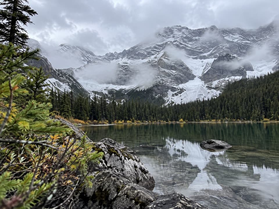 ChallengingWarspite Ridge Trail10 km · 4.5 hr · 2 km awayA steep, hands-on climb to the ridge above Warspite Lake.
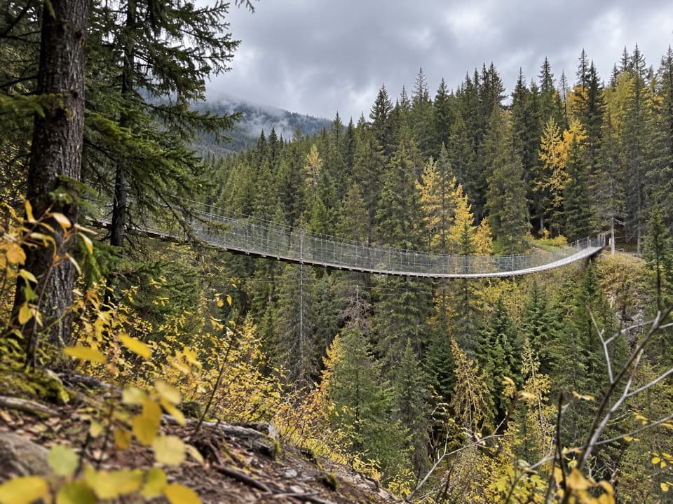 EasyBlack Shale Suspension Bridge Trail6.8 km · 2 hr · 2.1 km awayA forest walk builds to a 73 m suspension bridge.
 ChallengingBlack Prince Lakes Trail9.8 km · 5 hr · 2.1 km awayCairns lead beyond Warspite Lake to an unsigned alpine cirque.
 ChallengingSouth Lawson Peak Trail7.8 km · 5.5 hr · 2.6 km awayA steep forest climb opens onto a rocky ridge above two lakes.
 ModerateLower Lake Trail7 km · 1.8 hr · 3 km awayA shoreline walk with Spray Range views across Lower Kananaskis Lake.
 EasyPenstock Loop Snowshoe Trail4.5 km · 1.8 hr · 3 km awayA winter loop with waterworks history and wide lake views.
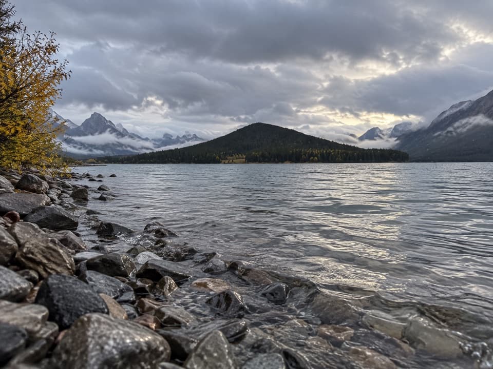 EasyLower Lake Snowshoe Trail3.9 km · 1.8 hr · 3 km awayAn easy snowshoe along Lower Lake beneath a wall of peaks.
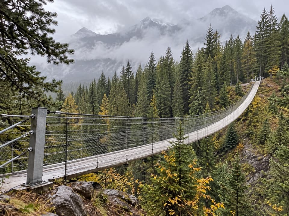 Sight · 0.3 km awayBlackshale Creek Suspension BridgeA 73-metre span makes a creek crossing the payoff.
 Picnic area · 2 km awayBlack Prince Day Use AreaA practical picnic break on the Smith-Dorrien drive.
 Picnic area · 2.3 km awayPeninsula Day Use AreaA lakeside picnic stop with a short Lower Kananaskis Lake viewpoint walk.Picnic area · 3 km awayCanyon Day Use AreaLake access and picnic tables under a rugged mountain wall.
 Campground · 3.5 km awayCanyon CampgroundA first-come, 50-site base for lake-area hikes and paved cycling.
 Sight · 4.2 km awayPocaterra Warming HutA heated hut beside several cross-country ski trail starts.
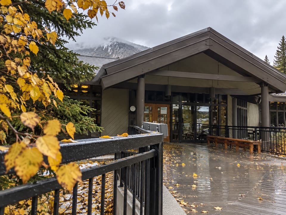 Visitor center · 4.3 km awayPeter Lougheed Park Discovery & Information CentreA compact wildlife museum with a chance of meadow bears.
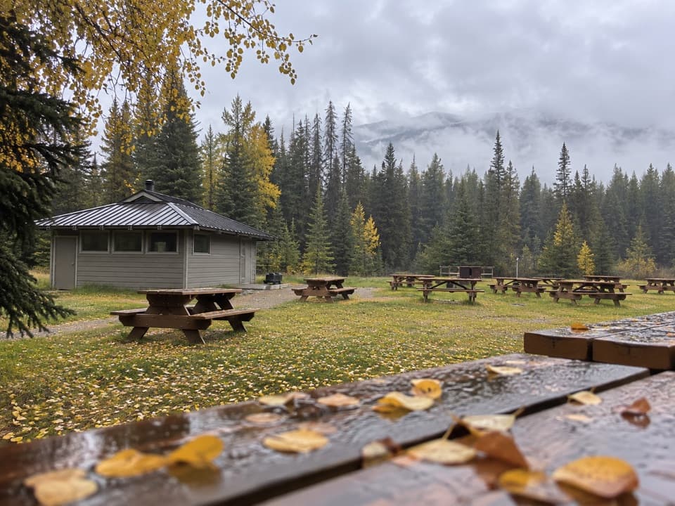 Campground · 4.8 km awayPocaterra Walk-in Tenting Group CampgroundGroup camping with a shelter and room for 20 units
Parkwolf’s Peter Lougheed ranking

The audio tour guide for the drive, plus offline maps, trails, and wildlife heatmaps for when the signal drops.





