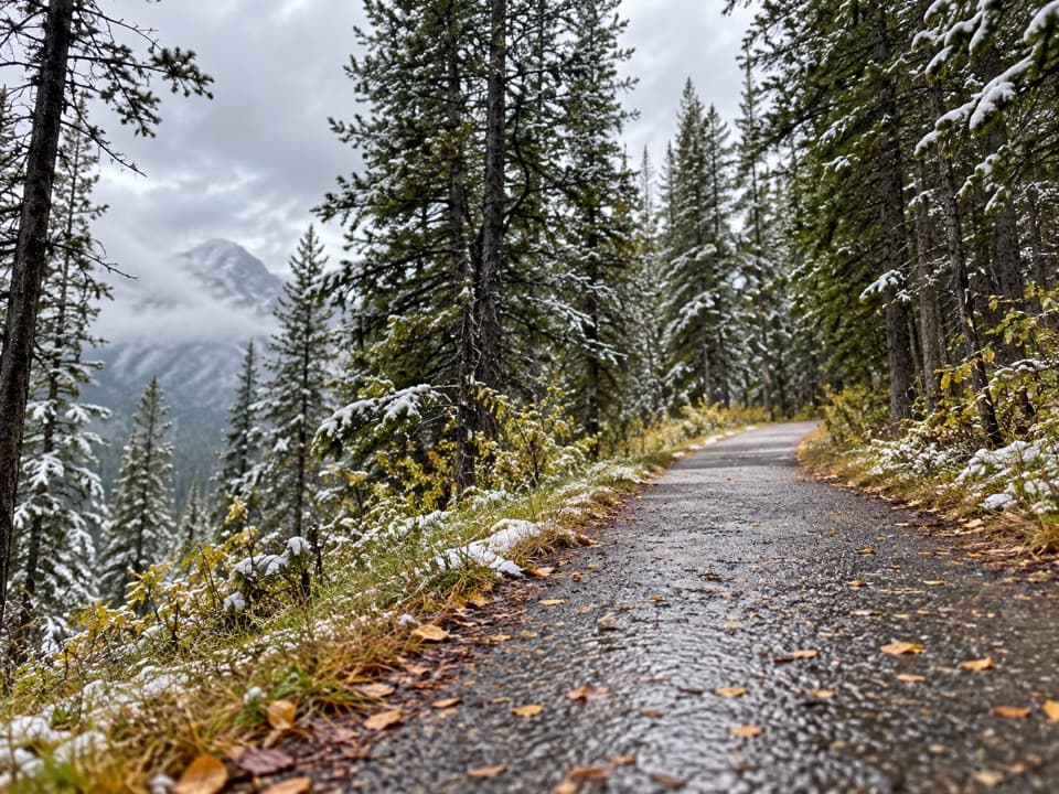
High Rockies Trail (Peter Lougheed Section) in Peter Lougheed Provincial Park

Peter Lougheed Provincial Park, AB

High Rockies Trail (Peter Lougheed Section)

A forested High Rockies traverse from Lower Kananaskis Lake to Elk Pass.

Length
16.8km
Time
6hr
Elev. change
298m
Difficulty
Moderate
  • Dogs allowed
  • High point 1,946 m
  • #29 of 66 in Peter Lougheed

Hear the audio tour

Canyon Day Use: The Lake and the Lost Trail

Overview

About High Rockies Trail (Peter Lougheed Section)

Why go

  • A continuous, multi-use link between Lower Kananaskis Lake and Elk Pass.
  • A quiet forest-and-creek traverse through several named park areas.

Heads up

  • Point-to-point logistics need a pickup or a much longer return.
  • The Boulton-to-Elk Pass stretch has limited open views.

Map & elevation

The route

Loading the Peter Lougheed map
Full map
Elevation1,648–1,946 m
TrailheadPocaterra Dam High Rockies Crossing50.69102, -115.13123
Keep this map with you offline in the Parkwolf app

Plan your hike

Before you go

Parking

Start at the High Rockies crossing at Pocaterra Dam, just north of Peninsula Day Use. The line ends at Elk Pass on the Alberta–British Columbia boundary, near Elk Pass Day Use. Set up a vehicle at each end or arrange another confirmed return plan; no public shuttle was verified. A Kananaskis Conservation Pass is required for vehicles parked in the area.

Best time to go

The corridor passes Canyon, Elkwood and Boulton Creek campground areas; Boulton Trading Post is a useful route landmark, but confirm current services before relying on it for supplies. Elk Pass Day Use has pit toilets. Dogs may accompany summer hikers on leash. Several southern sections overlap groomed Nordic-ski routes in winter, when dogs are not allowed on groomed trails in Peter Lougheed Provincial Park; check the winter-use map before walking.

Safety

This is a 16.8 km one-way route; walking back on the same line makes it about 33.5 km. The corridor is shared with cyclists and includes creek crossings. Dogs must be leashed, and dogs are not allowed on groomed ski trails in Peter Lougheed Provincial Park in winter. A Conservation Pass is required for vehicle parking in Kananaskis.

4 active Peter Lougheed alerts

  • ClosureTrail closures and Three Isle detourThree trail sections remain closed; stay out of closed areas and follow the signed Three Isle detour to reach the open backcountry campgrounds.Official details
  • CautionBear activity near Elpoca and ValleyviewFrequent bear activity has been noted along Valleyview Road from Elpoca Day Use Area south to Highway 40, near Little Highwood Pass and Valleyview Day Use Areas; use bear precautions.Official details
See all 4 alerts
A park ranger sits on a dash-mounted phone, talking, as Parkwolf’s Tour Guide plays “Army Cutworm Moths: A Grizzly Bear Buffet” on Grand Loop Road below Dunraven Pass in Yellowstone
Parkwolf Tour GuideThe highest, rockiest slopes around here are a summer buffet for grizzly bears.

Peter Lougheed Tour Guide

Your drive to High Rockies Trail (Peter Lougheed Section), narrated.

Parkwolf is a GPS audio tour guide for Peter Lougheed Provincial Park. As you drive, it chimes in with what’s ahead: hidden gems, upcoming stops, history, geology, and wildlife, right through your car’s speakers.

See the Peter Lougheed audio tour

Recorded for this trailhead

Canyon Day Use: The Lake and the Lost Trail
0:00 / 0:28
“You're nearing Canyon Day Use Area, a picnic and boat-launch stop on the north shore of Lower Kananaskis Lake.”

Plays as you drive up to this trailhead in the Parkwolf Peter Lougheed Tour Guide.

More stories near here in the app

  • South Lawson Peak: The Ridge Above the Lakes
  • Peninsula Day Use: The Short Viewpoint Walk
  • Discovery Centre: Exhibits and Meadow Bears
  • Pocaterra Warming Hut: A Ski-Day Shelter
  • 41 audio storiesacross Peter Lougheed’s roads, triggered by GPS as you drive
  • Wildlife heatmapsfor Grizzly Bear, Canada Lynx, Black Bear, and 13 more
  • Works offlinemaps, 66 trails, 41 places, and audio download before you lose signal
  • CarPlay readysimple controls built for the drive
★★★★★
“Fantastic app with many points of information… It’s great to just turn on while you’re driving and it gives you an audio tour of the national Park. We love it!!!!”
JMJamesApp Store review
Download Parkwolf on the App StoreGet Parkwolf on Google Play

4.7 from 8,600+ ratings

Trail guide

Hiking High Rockies Trail (Peter Lougheed Section)

The lineThis 16.8 km (10.

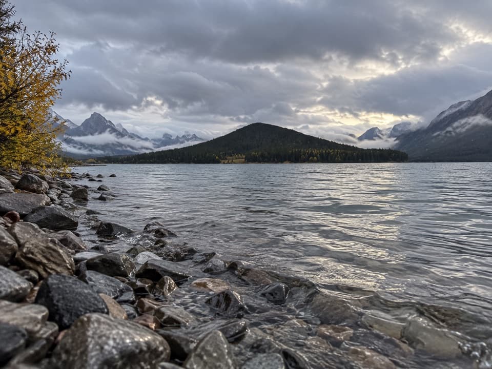
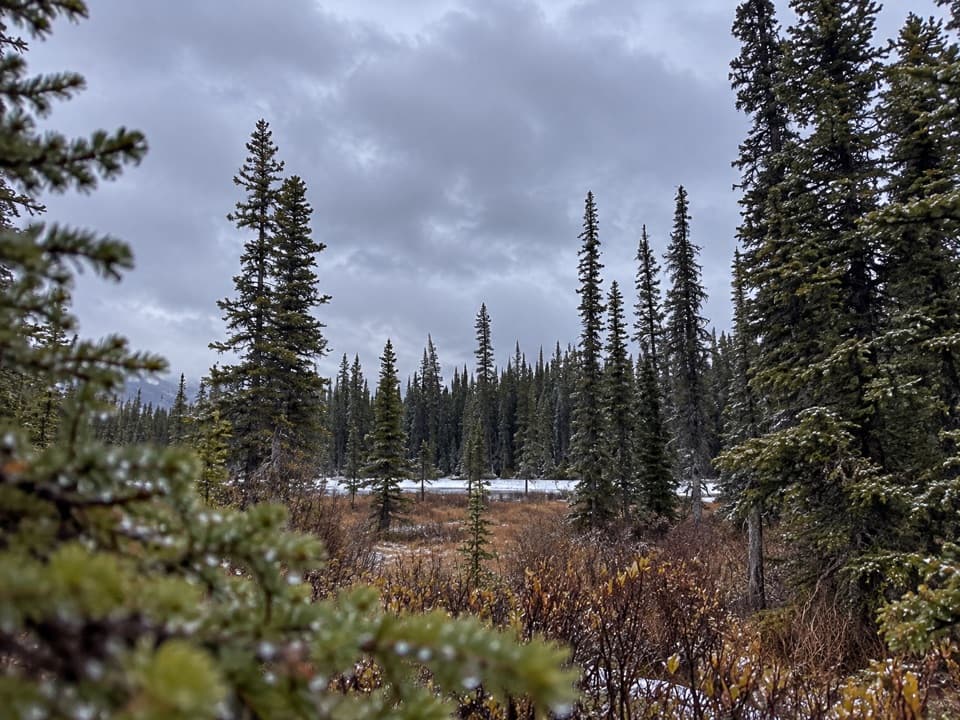
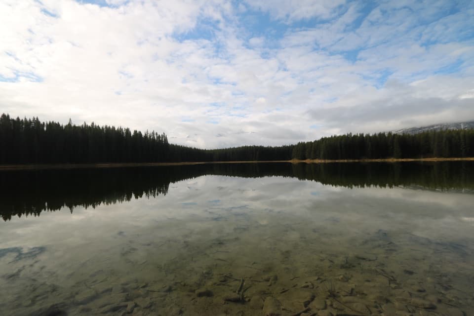
This 16.8 km (10.4 mi) section of the High Rockies Trail is a southbound point-to-point traverse from the Pocaterra Dam crossing to Elk Pass on the Alberta–British Columbia boundary. It threads existing park paths through Canyon Campground and Elkwood, passes Marl Lake and Boulton Creek, then follows the Fox Creek valley to the powerline gate at the pass. Allow about six hours on foot. This is a long forest-and-creek link in the Great Trail corridor, with fewer open views than the rockslide sections farther north.

Plan the traverseThe distance is one way, not a return hike.

The distance is one way, not a return hike. Walking back on the same line doubles the day to about 33.5 km, so arrange your own pickup or a confirmed return route before setting out; no public shuttle was verified. Pocaterra Dam is just north of Peninsula Day Use, and Elk Pass Day Use is the southern access. A Kananaskis Conservation Pass is required for parked vehicles in the area.

What the path is likeThe route shares its corridor with cyclists.

The route shares its corridor with cyclists. Expect paved multi-use paths through the campground network, then dirt track, cutline and ski-trail connectors around Boulton and Fox Creeks. The Boulton trail network has several intersecting paths, so keep to the southbound High Rockies line toward Elk Pass. The final approach is a moderately steep climb beside the powerline.

Boulton to Elk PassSouth of Boulton Creek the route becomes quieter and more enclosed, following a narrow,…

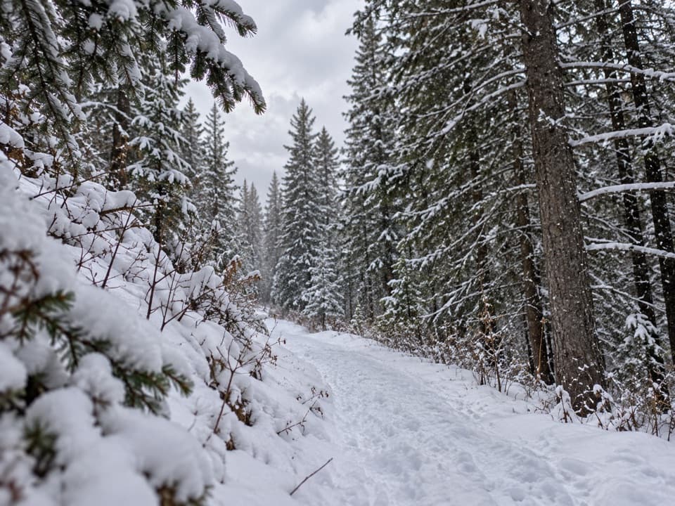
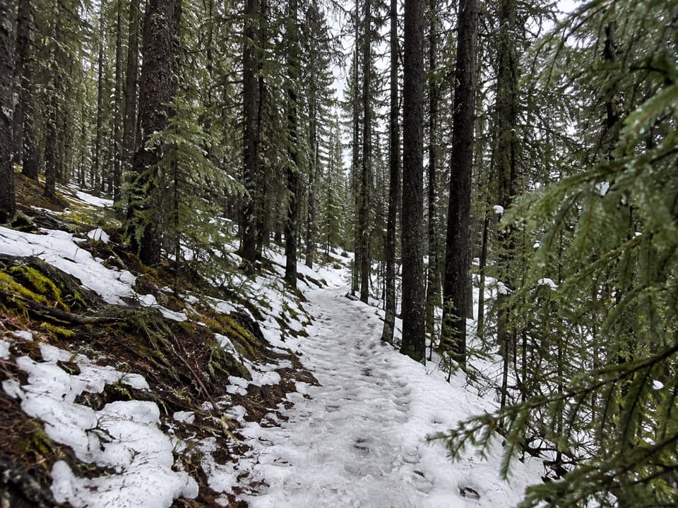
South of Boulton Creek the route becomes quieter and more enclosed, following a narrow, lichen-hung forest path beside Fox Creek before widening near the pass. The Boulton-to-Elk Pass stretch is mainly about the shaded creek corridor rather than big viewpoints; the clearest opening comes at the powerline gate marking the provincial boundary. The route continues beyond the gate toward Elk Lakes, outside this segment.

Wildlife

Wildlife in Peter Lougheed

All Peter Lougheed wildlife maps

Sighting maps show where each species has been reported across Peter Lougheed. Wildlife moves, so no sighting is guaranteed.

Keep exploring

Near High Rockies Trail (Peter Lougheed Section)

See it all on the map

Trails that start nearby

Places near the trailhead

Parkwolf’s Peter Lougheed ranking

Top-rated trails in Peter Lougheed

All 66 trails
  1. 1Rawson Lake TrailModerate · 7.8 km
  2. 2Ptarmigan Cirque Interpretive TrailModerate · 4.5 km
  3. 3Burstall Pass TrailChallenging · 14.8 km
  4. 4Chester Lake TrailModerate · 9.2 km
  5. 5Upper Kananaskis Lake LoopModerate · 15.7 km
  6. 6Sarrail Ridge via Rawson LakeChallenging · 11.7 km

Take Parkwolf to Peter Lougheed.

The audio tour guide for the drive, plus offline maps, trails, and wildlife heatmaps for when the signal drops.

4.7 from 8,600+ ratings

Download Parkwolf on the App StoreGet Parkwolf on Google Play