Marsh Loop Snowshoe Trail in Peter Lougheed Provincial Park

Peter Lougheed Provincial Park, AB

Marsh Loop Snowshoe Trail

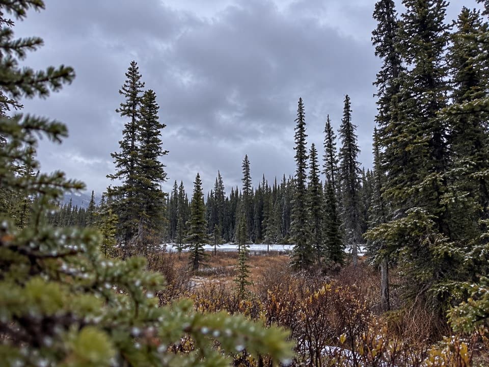
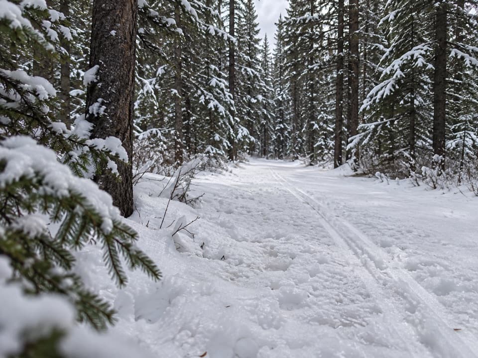
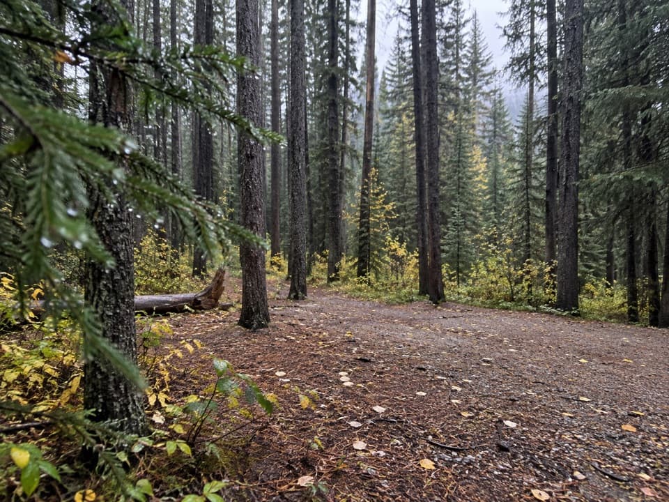
A short, gentle winter loop in the marshland near Lower Lake.

Length
1.3km
Time
30min
Elev. change
36m
Difficulty
Easy
  • Loop
  • High point 1,718 m

Hear the audio tour

William Watson Lodge: An Accessible Retreat

Overview

About Marsh Loop Snowshoe Trail

Why go

  • Short loop with gradual climbs and descents
  • Works for snowshoeing, winter hiking or fat biking

Heads up

  • The 1.3 km figure excludes both access routes

Map & elevation

The route

Loading the Peter Lougheed map
Full map
Elevation1,682–1,718 m
TrailheadLower Lake Snowshoe / Marsh Loop Junction50.66752, -115.13124
Keep this map with you offline in the Parkwolf app

Plan your hike

Before you go

Parking

No dedicated lot is identified for Marsh Loop. Reach it from William Watson Lodge on the separate 0.7 km Connector, or from Canyon Day Use via the 3.9 km Lower Lake Snowshoe route; add that approach to the loop distance. A Kananaskis Conservation Pass is required for vehicles parked at William Watson Lodge.

Safety

This is a winter-only route. The available trail description has no turn-by-turn directions or detailed surface notes; use the winter map and verify the access route before setting out.

4 active Peter Lougheed alerts

  • ClosureTrail closures and Three Isle detourThree trail sections remain closed; stay out of closed areas and follow the signed Three Isle detour to reach the open backcountry campgrounds.Official details
  • CautionBear activity near Elpoca and ValleyviewFrequent bear activity has been noted along Valleyview Road from Elpoca Day Use Area south to Highway 40, near Little Highwood Pass and Valleyview Day Use Areas; use bear precautions.Official details
See all 4 alerts
A park ranger sits on a dash-mounted phone, talking, as Parkwolf’s Tour Guide plays “Army Cutworm Moths: A Grizzly Bear Buffet” on Grand Loop Road below Dunraven Pass in Yellowstone
Parkwolf Tour GuideThe highest, rockiest slopes around here are a summer buffet for grizzly bears.

Peter Lougheed Tour Guide

Your drive to Marsh Loop Snowshoe Trail, narrated.

Parkwolf is a GPS audio tour guide for Peter Lougheed Provincial Park. As you drive, it chimes in with what’s ahead: hidden gems, upcoming stops, history, geology, and wildlife, right through your car’s speakers.

See the Peter Lougheed audio tour

Recorded for this trailhead

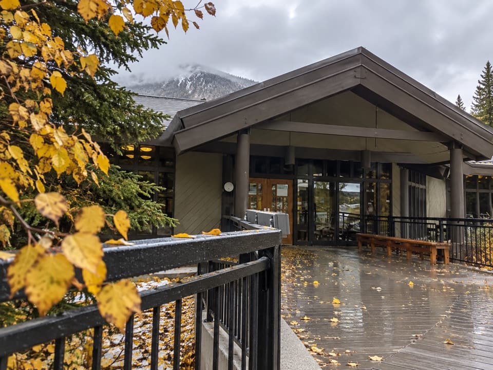
William Watson Lodge: An Accessible Retreat
0:00 / 0:36
“You're nearing William Watson Lodge, a barrier-free retreat overlooking Lower Kananaskis Lake.”

Plays as you drive up to this trailhead in the Parkwolf Peter Lougheed Tour Guide.

More stories near here in the app

  • Elkwood Amphitheatre: The Walk to Marl Lake
  • From Beaver Pond to Meadow
  • Canyon Day Use: The Lake and the Lost Trail
  • Discovery Centre: Exhibits and Meadow Bears
  • 41 audio storiesacross Peter Lougheed’s roads, triggered by GPS as you drive
  • Wildlife heatmapsfor Grizzly Bear, Canada Lynx, Black Bear, and 13 more
  • Works offlinemaps, 66 trails, 41 places, and audio download before you lose signal
  • CarPlay readysimple controls built for the drive
★★★★★
“Fantastic app with many points of information… It’s great to just turn on while you’re driving and it gives you an audio tour of the national Park. We love it!!!!”
JMJamesApp Store review
Download Parkwolf on the App StoreGet Parkwolf on Google Play

4.7 from 8,600+ ratings

Trail guide

Hiking Marsh Loop Snowshoe Trail

The loopMarsh Loop Snowshoe Trail is a 1.3 km (0.

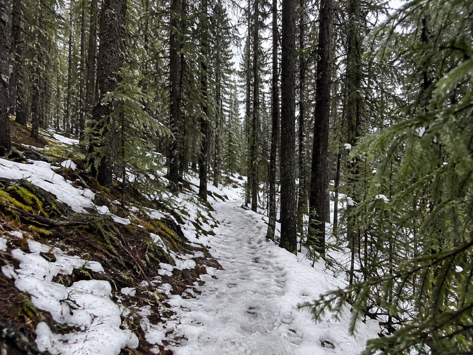
Marsh Loop Snowshoe Trail is a 1.3 km (0.8 mi) loop through wooded marshland north-west of William Watson Lodge. The climbs and descents are gradual, and the route is listed for winter hiking, snowshoeing and fat biking. Allow about 30 minutes for the loop itself.

AccessThe loop meets the Lower Lake Snowshoe route. The separate William Watson Lodge Connector (0.

The loop meets the Lower Lake Snowshoe route. The separate William Watson Lodge Connector (0.7 km) reaches Marsh Loop from the Lodge; the Lower Lake route from Canyon Day Use is 3.9 km. Neither approach is included in the loop's 1.3 km figure, so add the access distance when planning a start from either place. Use the winter map at the junctions; turn-by-turn directions are not provided.

Winter useThis is a winter-only route, not a year-round hike.

This is a winter-only route, not a year-round hike. The route description gives the grade but not a detailed surface or turn sequence, so check current winter route information and plan for winter conditions.

Wildlife

Wildlife in Peter Lougheed

All Peter Lougheed wildlife maps

Sighting maps show where each species has been reported across Peter Lougheed. Wildlife moves, so no sighting is guaranteed.

Keep exploring

Near Marsh Loop Snowshoe Trail

See it all on the map

Trails that start nearby

Places near the trailhead

Parkwolf’s Peter Lougheed ranking

Top-rated trails in Peter Lougheed

All 66 trails
  1. 1Rawson Lake TrailModerate · 7.8 km
  2. 2Ptarmigan Cirque Interpretive TrailModerate · 4.5 km
  3. 3Burstall Pass TrailChallenging · 14.8 km
  4. 4Chester Lake TrailModerate · 9.2 km
  5. 5Upper Kananaskis Lake LoopModerate · 15.7 km
  6. 6Sarrail Ridge via Rawson LakeChallenging · 11.7 km

Take Parkwolf to Peter Lougheed.

The audio tour guide for the drive, plus offline maps, trails, and wildlife heatmaps for when the signal drops.

4.7 from 8,600+ ratings

Download Parkwolf on the App StoreGet Parkwolf on Google Play