Parking
Start at King Creek Day Use Area off Highway 40. The lot has pit toilets. Parked vehicles require a Kananaskis Conservation Pass; capacity and drinking-water supply were not confirmed.
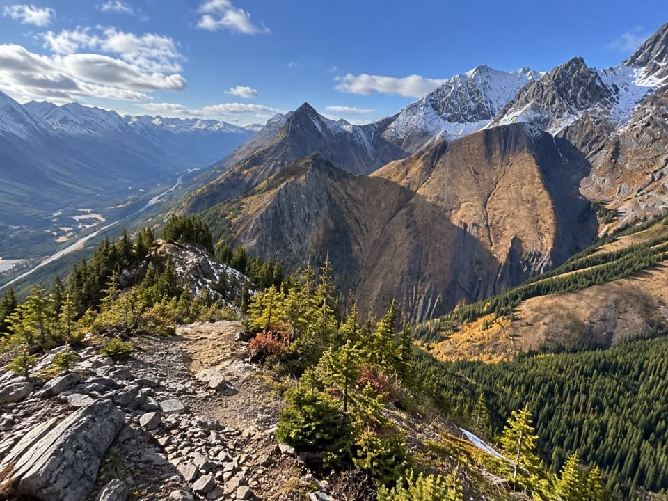
Peter Lougheed Provincial Park, AB
A steep ridge climb opens wide views over the Kananaskis Lakes.
Overview
Map & elevation
Plan your hike

The highest, rockiest slopes around here are a summer buffet for grizzly bears.
Peter Lougheed Tour Guide
Parkwolf is a GPS audio tour guide for Peter Lougheed Provincial Park. As you drive, it chimes in with what’s ahead: hidden gems, upcoming stops, history, geology, and wildlife, right through your car’s speakers.
See the Peter Lougheed audio tourRecorded for this trailhead
King Creek: A Pause or a Canyon Walk“King Creek Day Use Area is ahead, a modest creekside stop between King Creek Ridge and Mount Wintour.”
Plays as you drive up to this trailhead in the Parkwolf Peter Lougheed Tour Guide.
More stories near here in the app
“Fantastic app with many points of information… It’s great to just turn on while you’re driving and it gives you an audio tour of the national Park. We love it!!!!”


Trail guide
King Creek Ridge is a steep 7.1 km (4.4 mi) out-and-back from King Creek Day Use Area, with about 700 m of climbing. Allow 4–5 hours; the descent can take longer than the climb. This is a widely used informal route, but Alberta Parks lists the day-use site, not the ridge trail, and its formal designation and maintenance status are unconfirmed.
From the lot, head back toward Highway 40 and follow the grassy strip to the early junction; take the left branch into the trees. The gentle opening gives way to a sustained, very steep climb through forest and drainage gullies. The tread is hard-packed dirt with loose dust and small stones. It braids, and faint side paths can mislead, so watch for the main line rather than following every worn track. Make a note of the ridge turnoff as you climb: it is unmarked and easy to miss on the way down.
After roughly 2 km of climbing, the grade eases and the route moves through open ground and patches of trees. This is where the walk starts to feel like a ridge hike instead of a forest grind. Views open toward the Opal Range, Mount Wintour, and Upper and Lower Kananaskis Lakes. The route is still uneven, with occasional exposed sections and no trail signs.
A broad grassy false summit with a large cairn is a natural turnaround. The narrow, rocky true summit is less than 200 m beyond and about 12 m higher. Reaching it involves a short scramble with slight exposure and little room at the top; many hikers stop at the cairn instead. The true summit has no cairn, so do not mistake the broad grassy bump for the highest point if you choose to continue.
From the ridge, look for Mount Brock and Mount Blane across the valley; the higher viewpoints also face Mount Hood, Opal Ridge, and Fortress Mountain. The route crosses small meadow openings where wildflowers can appear. Prairie crocuses are reported around mid-June, with broader blooms often in July, but flowering varies by year. The exposed openings can feel hot in sun.
Snow-free conditions usually arrive in late June or July and can last into October, but the dates shift from year to year. Snow and ice make this steep, faint route substantially harder to follow and descend. King Creek Day Use Area has a parking lot and pit toilets; parked vehicles require a Kananaskis Conservation Pass. No drinking-water or food service was confirmed at the lot or along the route. Leashed dogs are reported as allowed. Plan to return the way you came, and be deliberate about finding the unmarked drop from the ridge back into the forest.
Wildlife
 132 sightingsGrizzly BearMost seen around 8 PMSighting map
 17 sightingsCanada LynxMost seen around 8 PMSighting map
 30 sightingsBlack BearMost seen around 6 AMSighting map
 69 sightingsMooseMost seen around 5 PMSighting map
 176 sightingsBighorn SheepMost seen around 6 PMSighting map
 19 sightingsBald EagleMost seen around 8 AMSighting map
Sighting maps show where each species has been reported across Peter Lougheed. Wildlife moves, so no sighting is guaranteed.
Keep exploring
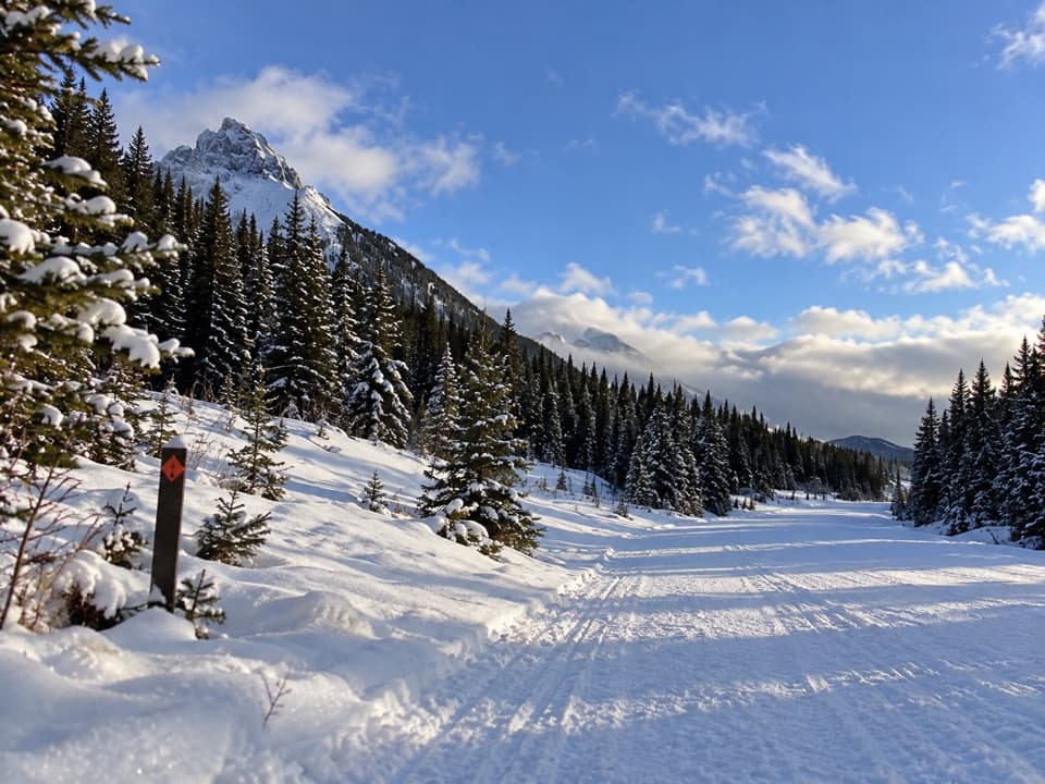 ModerateWintour Snowshoe Trail10.2 km · 3 hr · At the trailheadSnowshoe a 5.1 km winter road corridor with mountain views.
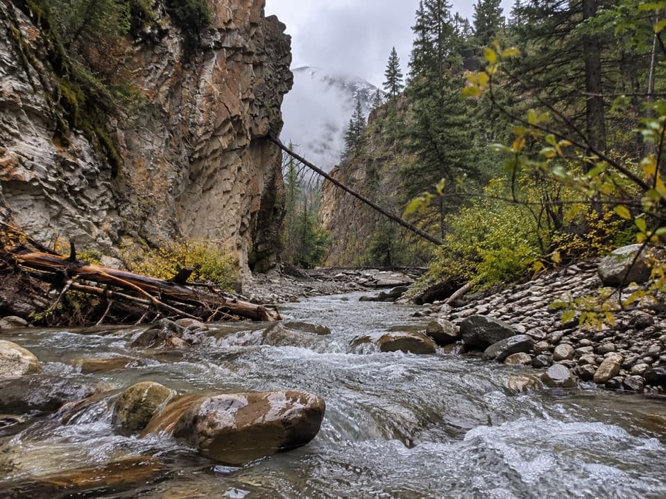 ModerateKing Creek Canyon Trail3.2 km · 1.5 hr · 0.1 km awayRocky creek crossings in a short, high-walled canyon
 ChallengingSouth Lawson Peak Trail7.8 km · 5.5 hr · 3.1 km awayA steep forest climb opens onto a rocky ridge above two lakes.
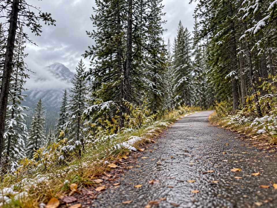 ModerateHigh Rockies Trail (Peter Lougheed Section)16.8 km · 6 hr · 3.3 km awayA forested High Rockies traverse from Lower Kananaskis Lake to Elk Pass.
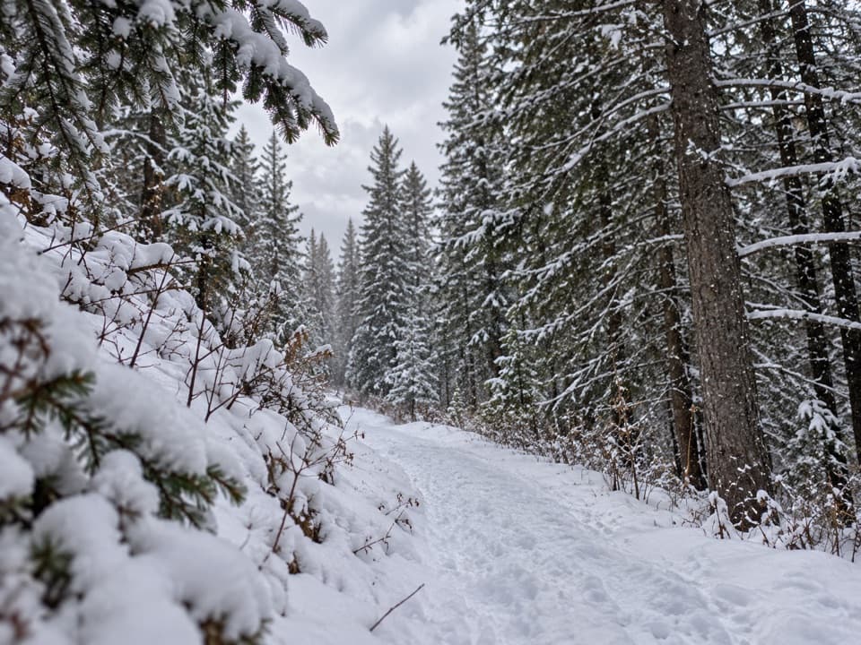 EasyCanyon Snowshoe Trail1.7 km · 45 min · 3.5 km awayA low-climb link to Lower Lake and Penstock winter trails.
 ModerateLower Lake Trail7 km · 1.8 hr · 3.6 km awayA shoreline walk with Spray Range views across Lower Kananaskis Lake.
 EasyPenstock Loop Snowshoe Trail4.5 km · 1.8 hr · 3.6 km awayA winter loop with waterworks history and wide lake views.
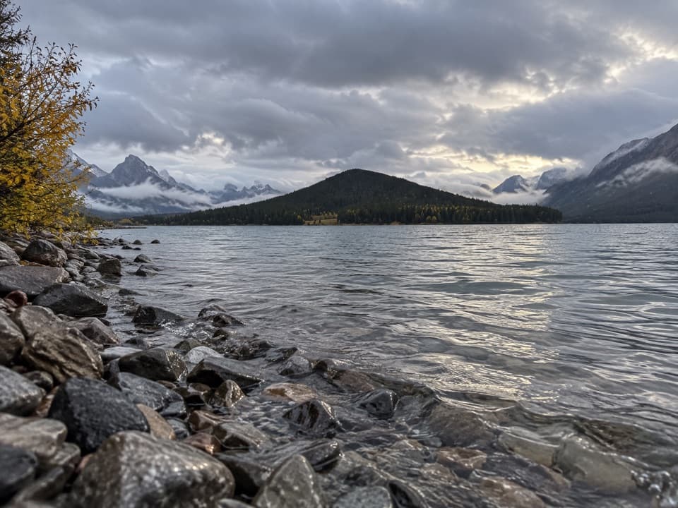 EasyLower Lake Snowshoe Trail3.9 km · 1.8 hr · 3.6 km awayAn easy snowshoe along Lower Lake beneath a wall of peaks.
 Sight · 0.1 km awayKing Creek Day Use AreaA creekside pause or canyon-trail start with mountain views.
 Sight · 2.3 km awayPocaterra Warming HutA heated hut beside several cross-country ski trail starts.
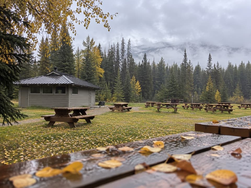 Campground · 3.2 km awayPocaterra Walk-in Tenting Group CampgroundGroup camping with a shelter and room for 20 units
 Campground · 3.4 km awayCanyon CampgroundA first-come, 50-site base for lake-area hikes and paved cycling.
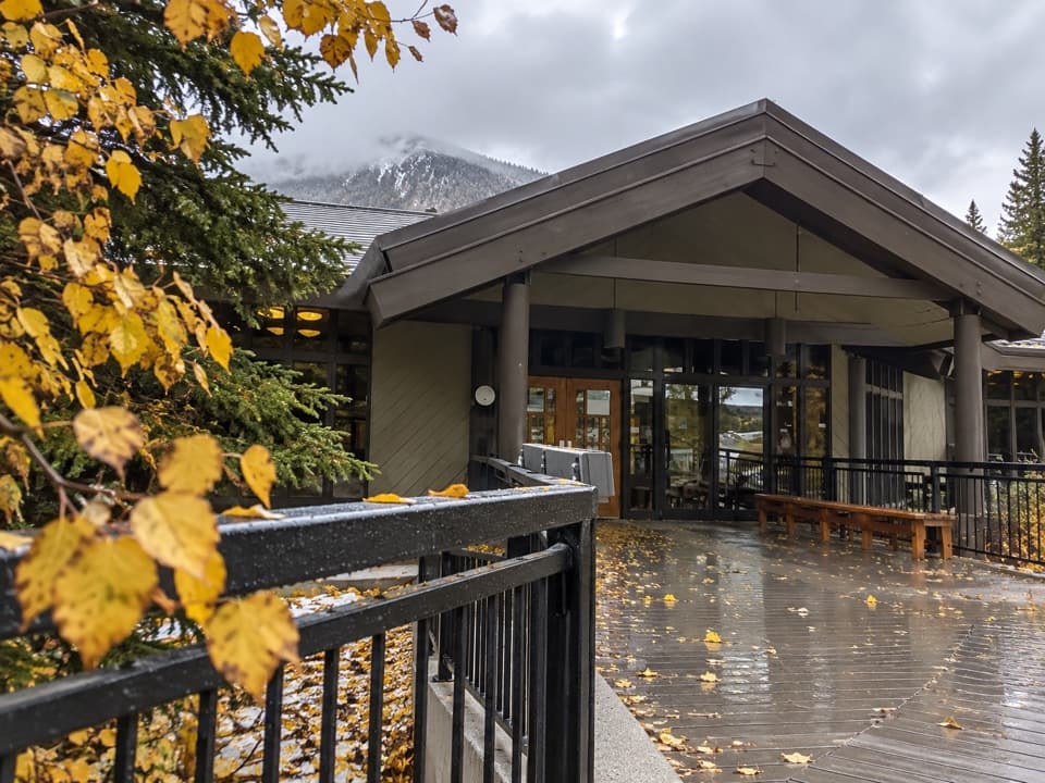 Visitor center · 3.5 km awayPeter Lougheed Park Discovery & Information CentreA compact wildlife museum with a chance of meadow bears.
 Picnic area · 3.6 km awayCanyon Day Use AreaLake access and picnic tables under a rugged mountain wall.Picnic area · 3.8 km awayPeninsula Day Use AreaA lakeside picnic stop with a short Lower Kananaskis Lake viewpoint walk.
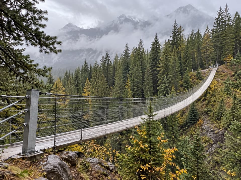 Sight · 5 km awayBlackshale Creek Suspension BridgeA 73-metre span makes a creek crossing the payoff.
Parkwolf’s Peter Lougheed ranking

The audio tour guide for the drive, plus offline maps, trails, and wildlife heatmaps for when the signal drops.





