Parking
Start at King Creek Day Use Area on Highway 40. The lot is described as small and may fill later in the day; pit toilets are at the access. No food or drinking water source was confirmed.
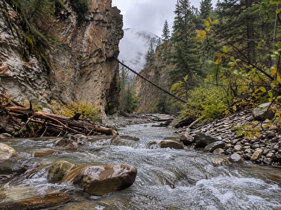
Peter Lougheed Provincial Park, AB
Rocky creek crossings in a short, high-walled canyon
Overview
Map & elevation
Plan your hike

The highest, rockiest slopes around here are a summer buffet for grizzly bears.
Peter Lougheed Tour Guide
Parkwolf is a GPS audio tour guide for Peter Lougheed Provincial Park. As you drive, it chimes in with what’s ahead: hidden gems, upcoming stops, history, geology, and wildlife, right through your car’s speakers.
See the Peter Lougheed audio tourRecorded for this trailhead
King Creek: A Pause or a Canyon Walk“King Creek Day Use Area is ahead, a modest creekside stop between King Creek Ridge and Mount Wintour.”
Plays as you drive up to this trailhead in the Parkwolf Peter Lougheed Tour Guide.
More stories near here in the app
“Fantastic app with many points of information… It’s great to just turn on while you’re driving and it gives you an audio tour of the national Park. We love it!!!!”


Trail guide
King Creek Canyon Trail is a 2.0-mile (3.2 km) out-and-back from King Creek Day Use Area. It follows King Creek into a narrow, high-walled gorge, and the canyon begins close to the parking area. This is a good pick for a short, close-up creek walk; the rough, uneven footing makes it more than a stroll.
Walk northeast beside King Creek for about 1.6 km one way to the end of the named path, then return the same way. The gorge is rocky and uneven, with creek bed, fractured walls, evergreens, and occasional openings toward the mountains. The stored line is the mapped physical corridor once; the listed 2 miles is the full return walk.
Other accounts put the return at about 3 to 4 km and some describe exploring farther into the canyon. The mapped path ends near a fork, but sources do not establish a consistent turnaround beyond it. I would use the named mapped path as the walk described here and treat any continuation toward climbing approaches or scrambles as a separate, unverified extension. It is also a different outing from the steep King Creek Ridge hike.
Expect rough rock underfoot and creek crossings. Accounts differ on how many crossings are part of the usual walk; they describe stepping across rocks or logs, and sometimes wading, with no bridge confirmed. Water level changes how easy those crossings are. Turn back if you cannot cross safely.
Use King Creek Day Use Area on Highway 40. Alberta Parks lists a parking lot and pit toilet; a local account describes the lot as small and says it can fill later in the day. Dogs are allowed on leash in the park. No food or drinking water source was confirmed at the access, and there are no reported services along the canyon route.
Wildlife
 132 sightingsGrizzly BearMost seen around 8 PMSighting map
 17 sightingsCanada LynxMost seen around 8 PMSighting map
 30 sightingsBlack BearMost seen around 6 AMSighting map
 69 sightingsMooseMost seen around 5 PMSighting map
 176 sightingsBighorn SheepMost seen around 6 PMSighting map
 19 sightingsBald EagleMost seen around 8 AMSighting map
Sighting maps show where each species has been reported across Peter Lougheed. Wildlife moves, so no sighting is guaranteed.
Keep exploring
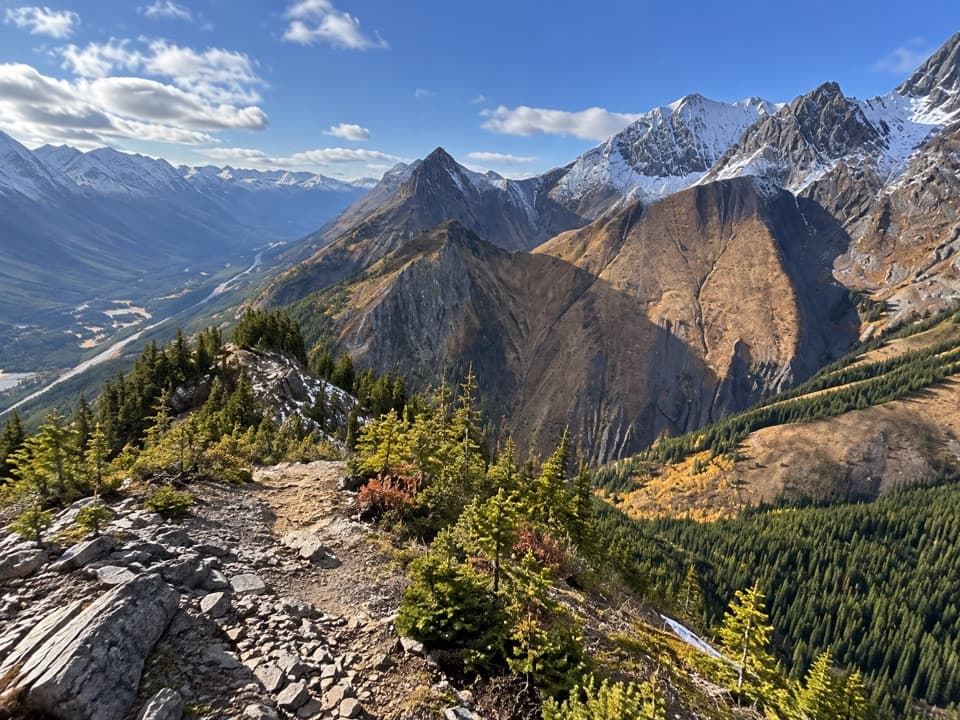 ChallengingKing Creek Ridge Trail7.1 km · 4.5 hr · 0.1 km awayA steep ridge climb opens wide views over the Kananaskis Lakes.
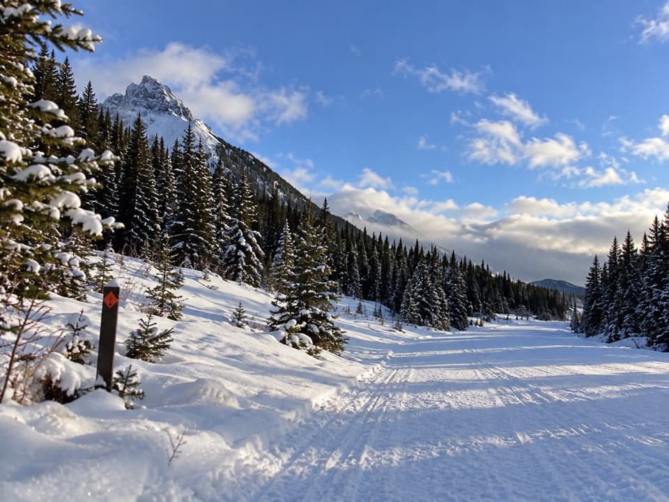 ModerateWintour Snowshoe Trail10.2 km · 3 hr · 0.2 km awaySnowshoe a 5.1 km winter road corridor with mountain views.
 ChallengingSouth Lawson Peak Trail7.8 km · 5.5 hr · 3.2 km awayA steep forest climb opens onto a rocky ridge above two lakes.
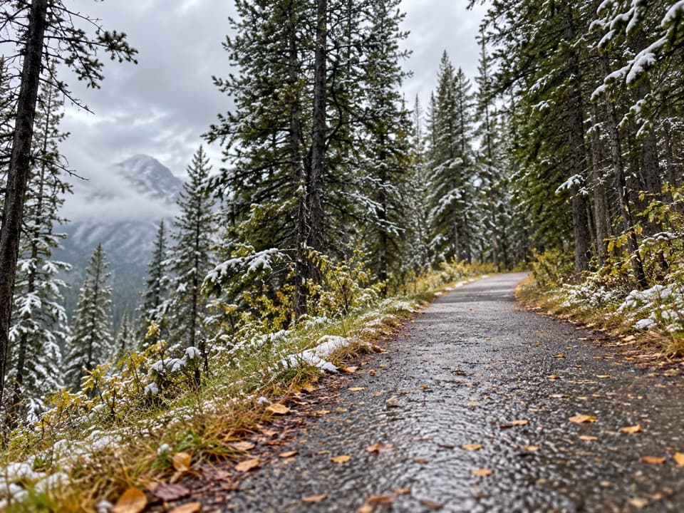 ModerateHigh Rockies Trail (Peter Lougheed Section)16.8 km · 6 hr · 3.4 km awayA forested High Rockies traverse from Lower Kananaskis Lake to Elk Pass.
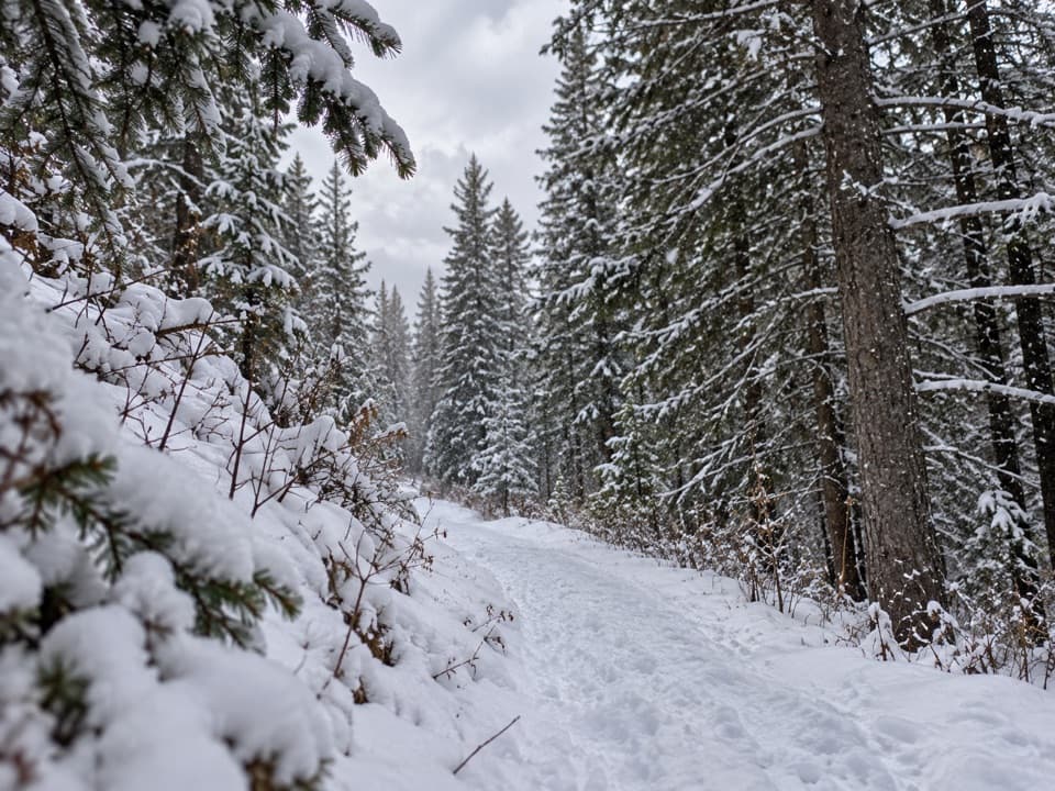 EasyCanyon Snowshoe Trail1.7 km · 45 min · 3.5 km awayA low-climb link to Lower Lake and Penstock winter trails.
 ModerateLower Lake Trail7 km · 1.8 hr · 3.7 km awayA shoreline walk with Spray Range views across Lower Kananaskis Lake.
 EasyPenstock Loop Snowshoe Trail4.5 km · 1.8 hr · 3.7 km awayA winter loop with waterworks history and wide lake views.
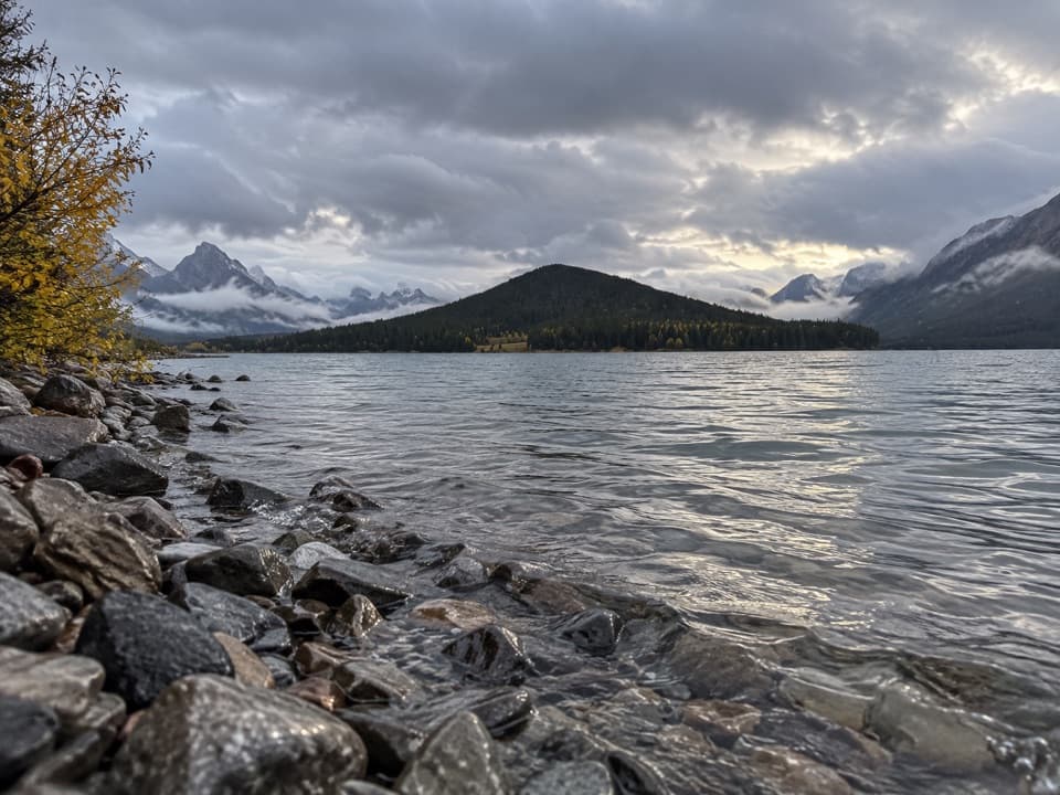 EasyLower Lake Snowshoe Trail3.9 km · 1.8 hr · 3.7 km awayAn easy snowshoe along Lower Lake beneath a wall of peaks.
 Sight · At the trailheadKing Creek Day Use AreaA creekside pause or canyon-trail start with mountain views.
 Sight · 2.3 km awayPocaterra Warming HutA heated hut beside several cross-country ski trail starts.
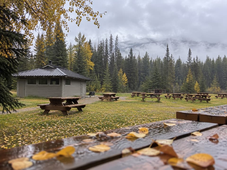 Campground · 3.2 km awayPocaterra Walk-in Tenting Group CampgroundGroup camping with a shelter and room for 20 units
 Campground · 3.5 km awayCanyon CampgroundA first-come, 50-site base for lake-area hikes and paved cycling.
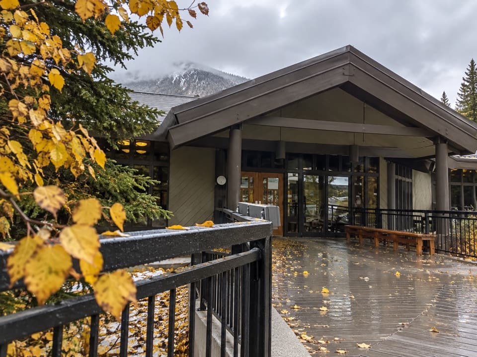 Visitor center · 3.5 km awayPeter Lougheed Park Discovery & Information CentreA compact wildlife museum with a chance of meadow bears.
 Picnic area · 3.7 km awayCanyon Day Use AreaLake access and picnic tables under a rugged mountain wall.Picnic area · 3.9 km awayPeninsula Day Use AreaA lakeside picnic stop with a short Lower Kananaskis Lake viewpoint walk.
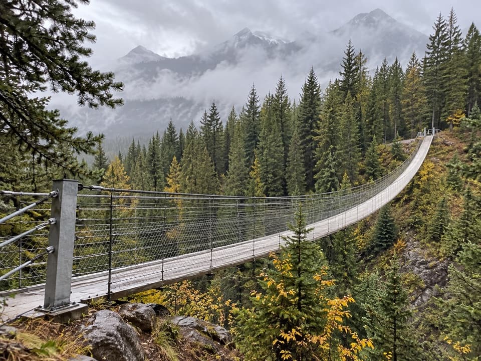 Sight · 5.1 km awayBlackshale Creek Suspension BridgeA 73-metre span makes a creek crossing the payoff.
Parkwolf’s Peter Lougheed ranking

The audio tour guide for the drive, plus offline maps, trails, and wildlife heatmaps for when the signal drops.





