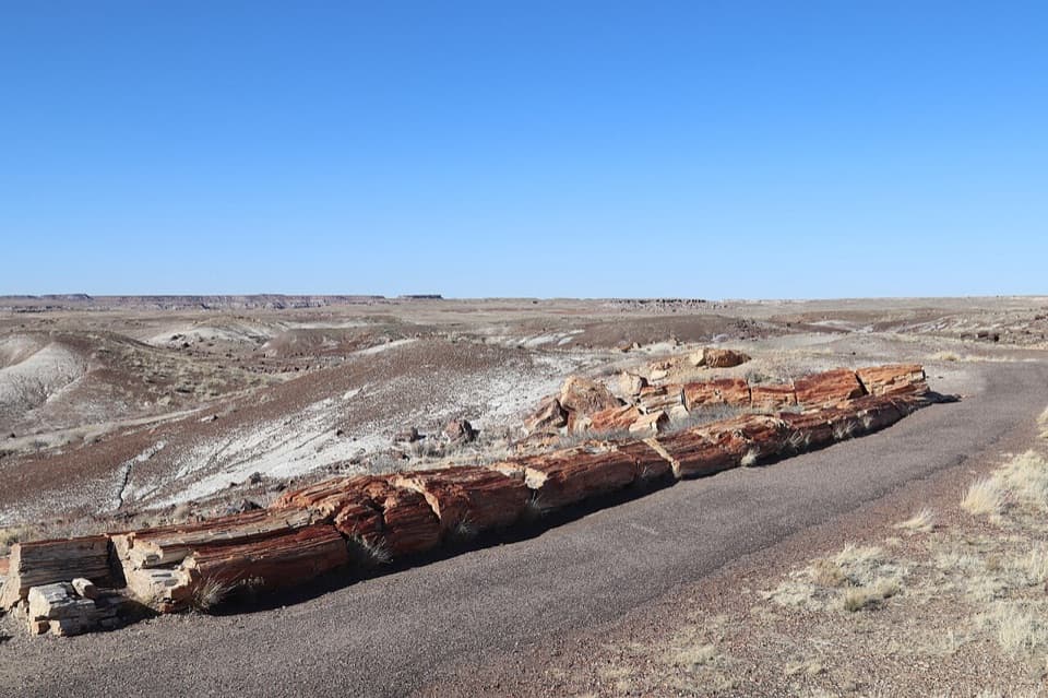
Parking
Small unmarked gravel pullout on the east side of the main park road, about 1.8 miles south of I-40. A detailed route account estimates space for three or four vehicles. Park only where safe and legal.
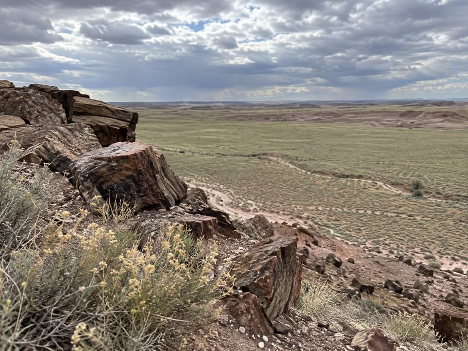
Petrified Forest National Park, AZ
A faint route across striped badlands to a wide wash view.
Overview
Map & elevation
Plan your hike

The highest, rockiest slopes around here are a summer buffet for grizzly bears.
Petrified Forest Tour Guide
Parkwolf is a GPS audio tour guide for Petrified Forest National Park. As you drive, it chimes in with what’s ahead: hidden gems, upcoming stops, history, geology, and wildlife, right through your car’s speakers.
See the Petrified Forest audio tourRecorded for this trailhead
Dead Wash Overlook Backcountry Hike“You're nearing the roadside starting point for the Dead Wash Overlook hike. Allow about two and a half hours for the four-mile round trip through colorful badlands to a mesa rim above the wash.”
Plays as you drive up to this trailhead in the Parkwolf Petrified Forest Tour Guide.
More stories near here in the app
“Fantastic app with many points of information… It’s great to just turn on while you’re driving and it gives you an audio tour of the national Park. We love it!!!!”


Trail guide
Dead Wash Overlook is a roughly four-mile out-and-back backcountry hike from a small roadside pullout to a mesa rim above the Dead Wash drainage. It crosses open grassland, drops through colorful badlands and boulder-filled washes, then climbs back to a broad view east and south. Allow about two and a half hours. Distance estimates range from about 3.6 to 4 miles round trip, so plan for four. The park rates it moderate, but navigation and boulders make it feel more demanding than the mileage suggests.
The unmarked gravel pullout is on the east side of the main park road, roughly 1.8 miles south of I-40, with room for only a few cars. Get the free backcountry guide at a visitor center and bring the matching topographic map. The route is faint from the start; this is an off-trail walk, not a maintained path. Park only where it is safe and legal.
The opening stretch crosses mostly flat grassland toward a low escarpment. Below it, the ground changes to eroded mounds and little ravines, with occasional petrified logs exposed in the colorful rock. The route follows this broken band before bending toward a drainage. Keep the map handy: the low relief makes it easy to lose the line even though the terrain looks open.
The descent gets steeper as the route enters a wash, with loose red slopes and a boulder-filled ravine. It opens into a broad basin beside a streambed. Expect to step carefully around rocks and retrace the same corridor on the way back; the return climb comes after the wash crossings.
Cross the basin past striped brown-and-white boulders, then climb another rocky slope to a narrow mesa rim. The payoff is a wide view east and south across Dead Wash, with Blue Mesa to the south. Include the rocky rim in a photo to give the broad grassland and wash channels some scale.
There is no water and little shade along the backcountry route, so carry what you need for the full walk. No developed facilities were identified at the pullout or on the route. Day hiking does not require a permit here. Pet access depends on the designated wilderness boundary; confirm with park staff before bringing a dog. Leave petrified wood, rocks and cultural materials where they are.
Wildlife
 185 sightingsPronghornMost seen around 6 AMSighting map
 172 sightingsMule DeerMost seen around 6 AMSighting map
 100 sightingsCoyoteMost seen around 6 PMSighting map
 33 sightingsWapitiMost seen around 7 PMSighting map
 35 sightingsGunnison's Prairie DogMost seen around 8 AMSighting map
 56 sightingsPorcupineMost seen around 7 PMSighting map
Sighting maps show where each species has been reported across Petrified Forest. Wildlife moves, so no sighting is guaranteed.
Keep exploring
 EasyTawa Trail1.2 mi · 30 min · 3.2 mi awayA short prairie walk to a bright Painted Desert overlook.
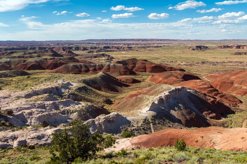 EasyPainted Desert Rim Trail1 mi · 36 min · 3.2 mi awayA short rim walk to layered Painted Desert views
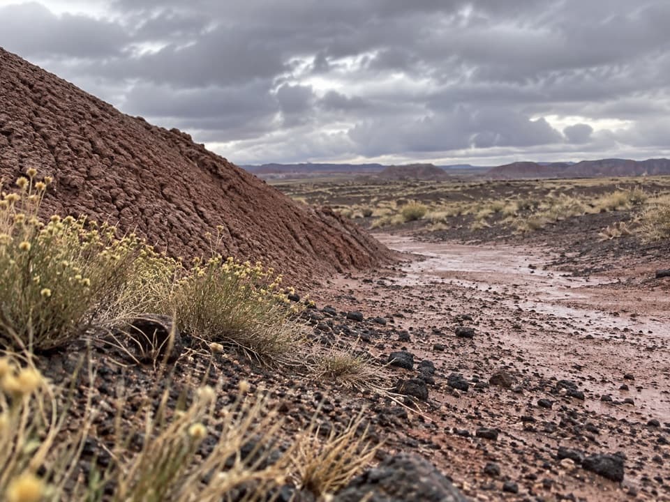 ModerateOnyx Bridge Hike4 mi · 2.5 hr · 3.3 mi awayAn unmarked wash route to a 210-million-year-old petrified conifer.
 ChallengingWilderness Loop8.2 mi · 7 hr · 3.4 mi awayFossil forests and rock art on a serious route-finding loop.
 EasyPuerco Pueblo Trail0.3 mi · 30 min · 4.2 mi awayA short paved loop through ancestral Puebloan ruins and petroglyph views
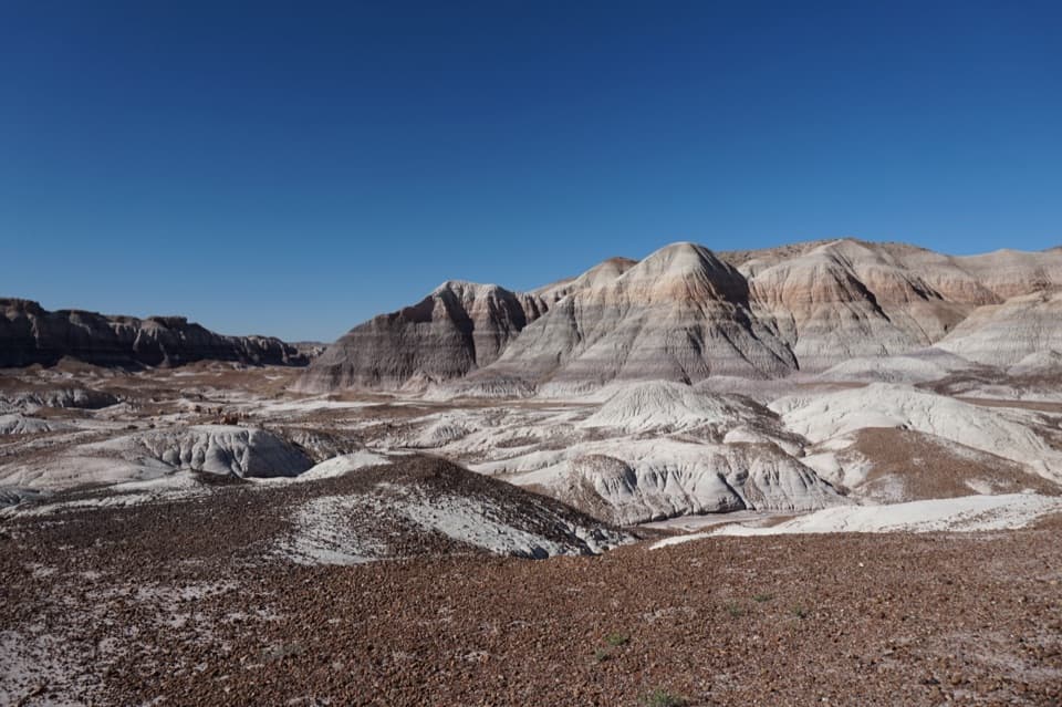 ChallengingBlue Forest Trail1.2 mi · 1.5 hr · 6.6 mi awayA rough old trail through blue badlands and exposed petrified wood.
 EasyBlue Mesa Trail1 mi · 45 min · 7.1 mi awayColor-banded badlands and petrified wood on a short, steep loop.
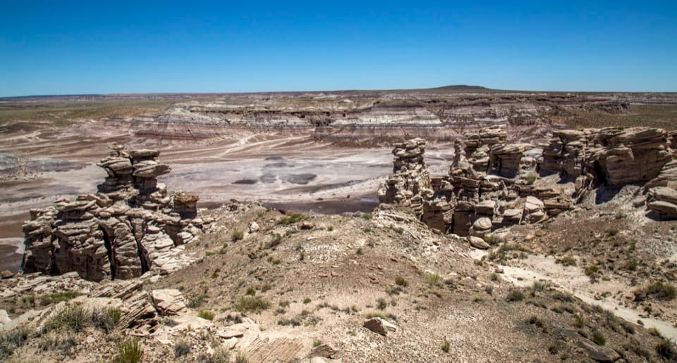 ModerateBillings Gap Overlook Loop3.5 mi · 2.5 hr · 7.2 mi awayCircle Blue Mesa's rim for a close look at Billings Gap.
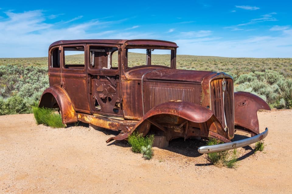 Scenic pullout · 1.1 mi awayHistoric Route 66 and StudebakerA 1932 Studebaker makes Route 66 tangible in the Painted Desert.
 Sight · 1.9 mi awayLacey PointA quick roadside look at Pintado Point and Pilot Rock.
 Sight · 2.1 mi awayWhipple PointA quick pullout for Painted Desert layers under dark-capped mesas.
 Sight · 2.3 mi awayNizhoni PointA roadside overlook with a 192-million-year gap in the rock record.
 Visitor center · 2.3 mi awayPainted Desert Visitor CenterA Mission 66 visitor center within a desert community of 23 buildings.
 Gas station · 2.3 mi awayPainted Desert OasisA handy north-gate stop for fuel, snacks and Painted Desert souvenirs.
 Restaurant · 2.3 mi awayPainted Desert DinerA convenient diner with Navajo tacos at the park’s north entrance.
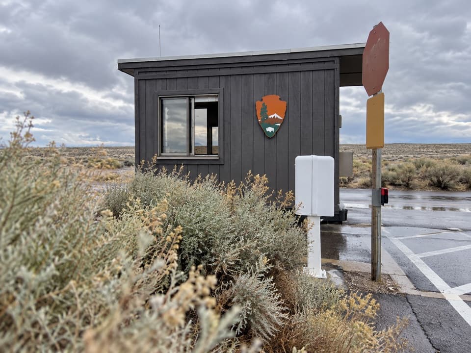 Entrance station · 2.4 mi awayNorth Entrance StationThe fee booth before the park's 28-mile drive south.
Parkwolf’s Petrified Forest ranking

The audio tour guide for the drive, plus offline maps, trails, and wildlife heatmaps for when the signal drops.