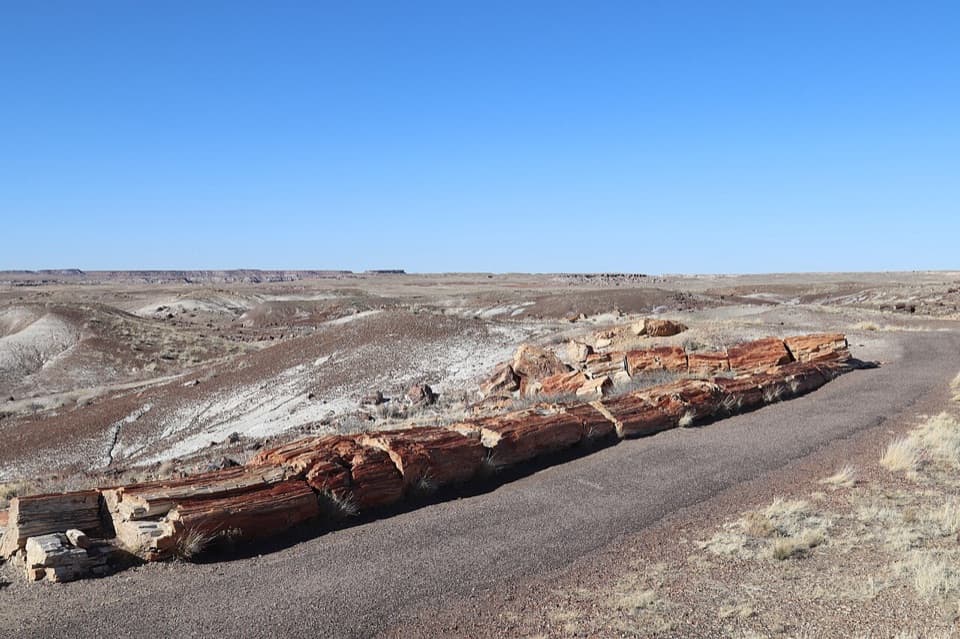
Parking
Use the Puerco Pueblo parking area; the loop starts at the south end of the lot.

Petrified Forest National Park, AZ
A short paved loop through ancestral Puebloan ruins and petroglyph views
Overview
Map & elevation
Plan your hike

The highest, rockiest slopes around here are a summer buffet for grizzly bears.
Petrified Forest Tour Guide
Parkwolf is a GPS audio tour guide for Petrified Forest National Park. As you drive, it chimes in with what’s ahead: hidden gems, upcoming stops, history, geology, and wildlife, right through your car’s speakers.
See the Petrified Forest audio tourRecorded for this trailhead
Puerco Pueblo's River Community“You're nearing Puerco Pueblo, the low sandstone remains of a village that once had more than a hundred rooms. It takes a little imagination: much of the settlement is still buried.”
Plays as you drive up to this trailhead in the Parkwolf Petrified Forest Tour Guide.
More stories near here in the app
“Fantastic app with many points of information… It’s great to just turn on while you’re driving and it gives you an audio tour of the national Park. We love it!!!!”


Trail guide
Puerco Pueblo is a 0.3-mile mostly paved loop from the south end of the parking area, through a partially excavated village to petroglyph views at the south end. It is a short interpretive stop rather than a workout; allow about 30 minutes if you pause at the signs. The main route suits strollers and manual or powered mobility equipment, with one short spur as the exception.
More than 100 sandstone-block rooms surround a plaza. At its largest, around 1300, the village may have held about 200 people. The rooms served as living and storage space; cooking and craftwork centered on the plaza, with underground kivas used for ceremonies.
The nearby Puerco River supported farming on its floodplains and terraces, where people grew corn, beans and squash. It also served as a travel and trade corridor. The village was largely abandoned by about 1380 as residents sought a more suitable place amid late-14th-century climate change.
One circular petroglyph at the south end is a solar marker. For about two weeks around June 21, sunrise light and shadow pass across its rings. It is a precise detail to look for after walking through the rooms.
Stay on the public path. Do not climb on boulders or walls or touch petroglyphs; the sensitive area above the trail at the south end is closed except for park-sanctioned guided groups. Pets must be leashed on paved trails, but the short spur's pet access is unclear.
Wildlife
 185 sightingsPronghornMost seen around 6 AMSighting map
 172 sightingsMule DeerMost seen around 6 AMSighting map
 100 sightingsCoyoteMost seen around 6 PMSighting map
 33 sightingsWapitiMost seen around 7 PMSighting map
 35 sightingsGunnison's Prairie DogMost seen around 8 AMSighting map
 56 sightingsPorcupineMost seen around 7 PMSighting map
Sighting maps show where each species has been reported across Petrified Forest. Wildlife moves, so no sighting is guaranteed.
Keep exploring
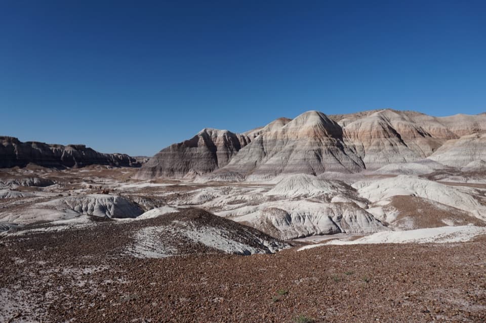 ChallengingBlue Forest Trail1.2 mi · 1.5 hr · 2.5 mi awayA rough old trail through blue badlands and exposed petrified wood.
 EasyBlue Mesa Trail1 mi · 45 min · 3.3 mi awayColor-banded badlands and petrified wood on a short, steep loop.
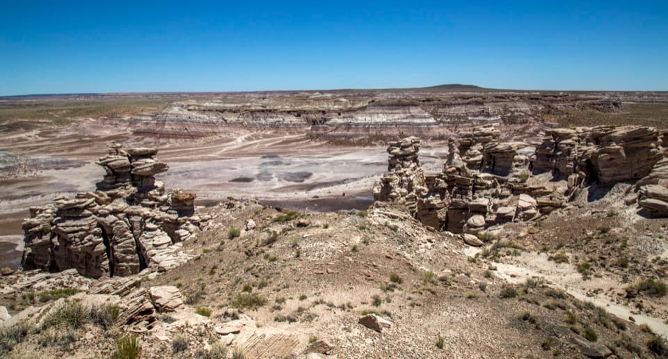 ModerateBillings Gap Overlook Loop3.5 mi · 2.5 hr · 3.5 mi awayCircle Blue Mesa's rim for a close look at Billings Gap.
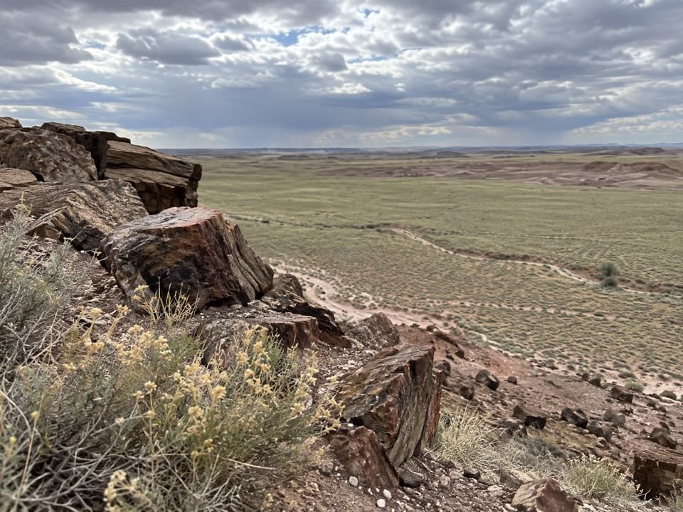 ModerateDead Wash Overlook Hike4 mi · 2.5 hr · 4.2 mi awayA faint route across striped badlands to a wide wash view.
 ModerateJasper Forest Hike2.5 mi · 1.5 hr · 6.1 mi awayA disappearing road threads a dense field of ancient petrified logs.
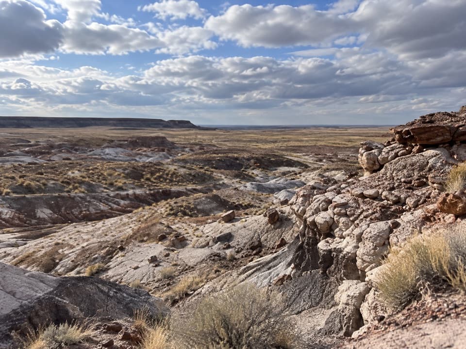 ModerateFirst Forest Point4.2 mi · 3 hr · 6.1 mi awayWash route-finding leads to petrified wood and a mesa view.
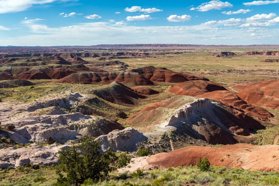 EasyPainted Desert Rim Trail1 mi · 36 min · 7.3 mi awayA short rim walk to layered Painted Desert views
 EasyTawa Trail1.2 mi · 30 min · 7.3 mi awayA short prairie walk to a bright Painted Desert overlook.
 Sight · 0.1 mi awayPuerco PuebloA low-walled pueblo with petroglyphs and a solstice marker.
 Sight · 1 mi awayNewspaper RockMore than 650 petroglyphs, best seen slowly through the scopes.
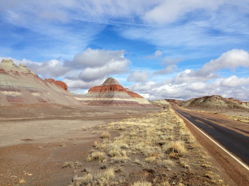 Scenic pullout · 2.4 mi awayThe Tepees North PulloutA quick roadside look at the Painted Desert's striped cones.
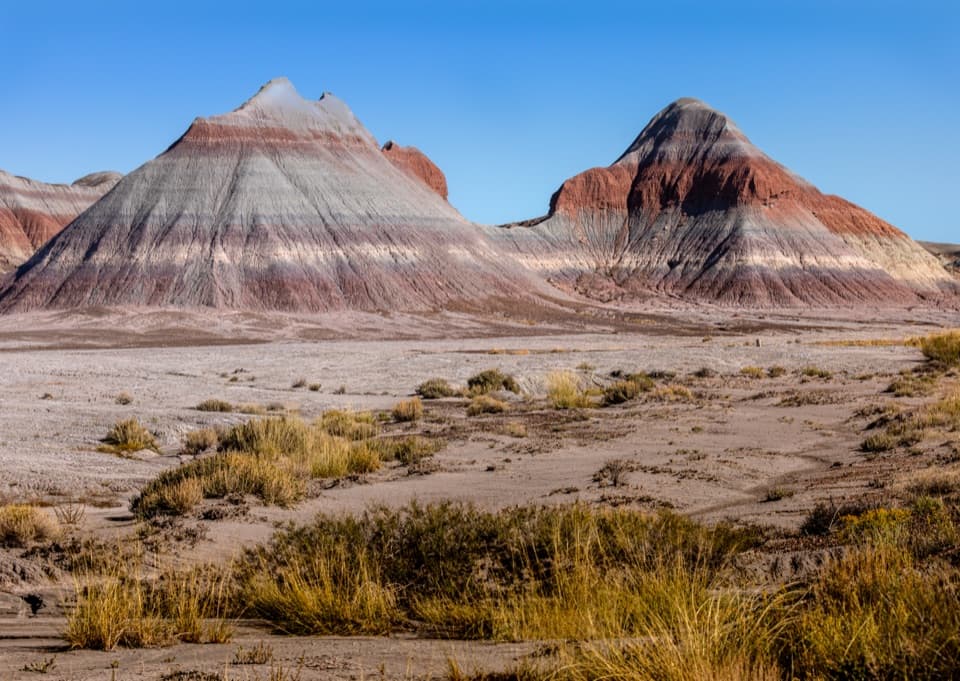 Scenic pullout · 2.5 mi awayThe Tepees South PulloutA roadside look at roughly 220-million-year-old striped hills.
 Sight · 3.3 mi awayBlue Mesa OverlookRim-top views of striped badlands, with an optional one-mile walk.
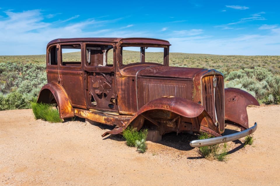 Scenic pullout · 5.2 mi awayHistoric Route 66 and StudebakerA 1932 Studebaker makes Route 66 tangible in the Painted Desert.
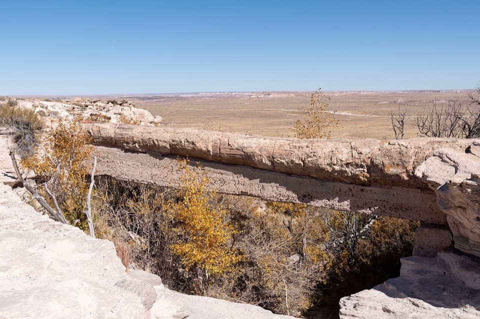 Sight · 5.8 mi awayAgate BridgeA petrified log spans a gully on a 1917 concrete beam.
 Sight · 6 mi awayLacey PointA quick roadside look at Pintado Point and Pilot Rock.
Parkwolf’s Petrified Forest ranking

The audio tour guide for the drive, plus offline maps, trails, and wildlife heatmaps for when the signal drops.