Parking
Use the fourth pullout on Blue Mesa Loop Road beside the People and Change wayside. The farther pullout with a shade shelter is beyond the trailhead.
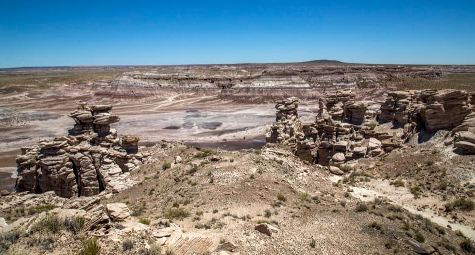
Petrified Forest National Park, AZ
Circle Blue Mesa's rim for a close look at Billings Gap.
Overview
Billings Gap Overlook Loop is a 3.5-mile clockwise circuit around Blue Mesa's rim to a viewpoint above the colorful badlands east of the mesa. The park describes it as about 3 miles; the mapped full rim loop comes out closer to 3.5. Allow about 2½ hours, and more if route-finding or photo stops slow you down. The view is worth the effort, but this isn't a marked, dependable path. Pick it if you're comfortable navigating on open ground; skip it if you want a well-defined tread or are uneasy near steep edges.
 Parkwolf’s verdictIs this hike for you?
Map & elevation
Plan your hike

The highest, rockiest slopes around here are a summer buffet for grizzly bears.
Petrified Forest Tour Guide
Parkwolf is a GPS audio tour guide for Petrified Forest National Park. As you drive, it chimes in with what’s ahead: hidden gems, upcoming stops, history, geology, and wildlife, right through your car’s speakers.
See the Petrified Forest audio tourRecorded for this trailhead
Blue Mesa's Banded Hills“You're coming up on Blue Mesa, where blue-gray and lavender hills fill the basin below the rim. I'd stop for the overlooks even if you don't want a hike; you can see the colored bands from above.”
Plays as you drive up to this trailhead in the Parkwolf Petrified Forest Tour Guide.
More stories near here in the app
“Fantastic app with many points of information… It’s great to just turn on while you’re driving and it gives you an audio tour of the national Park. We love it!!!!”


Trail guide
Park at the fourth pullout on Blue Mesa Loop Road, by the People and Change wayside. The trail begins about 25 feet to the right of that sign; the farther pullout with a shade shelter is past the start. The park's direction is to stay near the mesa edge and go clockwise. The social tread fades in and out, so bring the park's route directions and be ready to navigate through grass, loose sand, and occasional rock.
Early in the loop, the north-facing escarpment opens onto branching washes and hoodoos breaking off the mesa edge. Softer layers erode beneath harder caprock; once the caprock loses support, the edge collapses and drops talus below. Billings Gap Overlook is about halfway around the circuit. The return follows the opposite rim south toward the road, with broad views over badlands and grassy valleys. This is a route for looking from the rim, not climbing down into the formations.
The return side crosses younger sand dunes at the southern end of the Tusayan Erg. Those Quaternary deposits sit over the much older Late Triassic Chinle Formation, whose eroded towers rise beyond them. The Billings Gap area joined the park in the 2004 boundary expansion; archaeological and paleontological discoveries in those lands are now protected.
There's little shade and no water in the backcountry, so bring what you need before leaving the road. Day hikes here don't require a permit. Park rules allow pets outside buildings; keep dogs on a leash no longer than six feet. The pullout has parking and the wayside exhibit, but no food or water service.
Wildlife
 185 sightingsPronghornMost seen around 6 AMSighting map
 172 sightingsMule DeerMost seen around 6 AMSighting map
 100 sightingsCoyoteMost seen around 6 PMSighting map
 33 sightingsWapitiMost seen around 7 PMSighting map
 35 sightingsGunnison's Prairie DogMost seen around 8 AMSighting map
 56 sightingsPorcupineMost seen around 7 PMSighting map
Sighting maps show where each species has been reported across Petrified Forest. Wildlife moves, so no sighting is guaranteed.
Keep exploring
 EasyBlue Mesa Trail1 mi · 45 min · 0.2 mi awayColor-banded badlands and petrified wood on a short, steep loop.
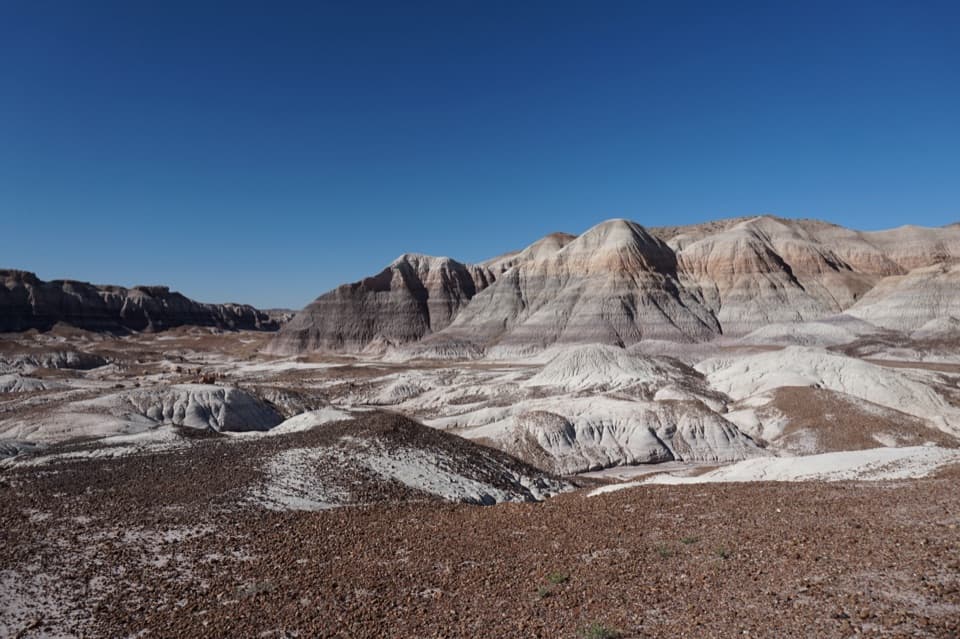 ChallengingBlue Forest Trail1.2 mi · 1.5 hr · 1.4 mi awayA rough old trail through blue badlands and exposed petrified wood.
 EasyPuerco Pueblo Trail0.3 mi · 30 min · 3.5 mi awayA short paved loop through ancestral Puebloan ruins and petroglyph views
 ModerateJasper Forest Hike2.5 mi · 1.5 hr · 4.7 mi awayA disappearing road threads a dense field of ancient petrified logs.
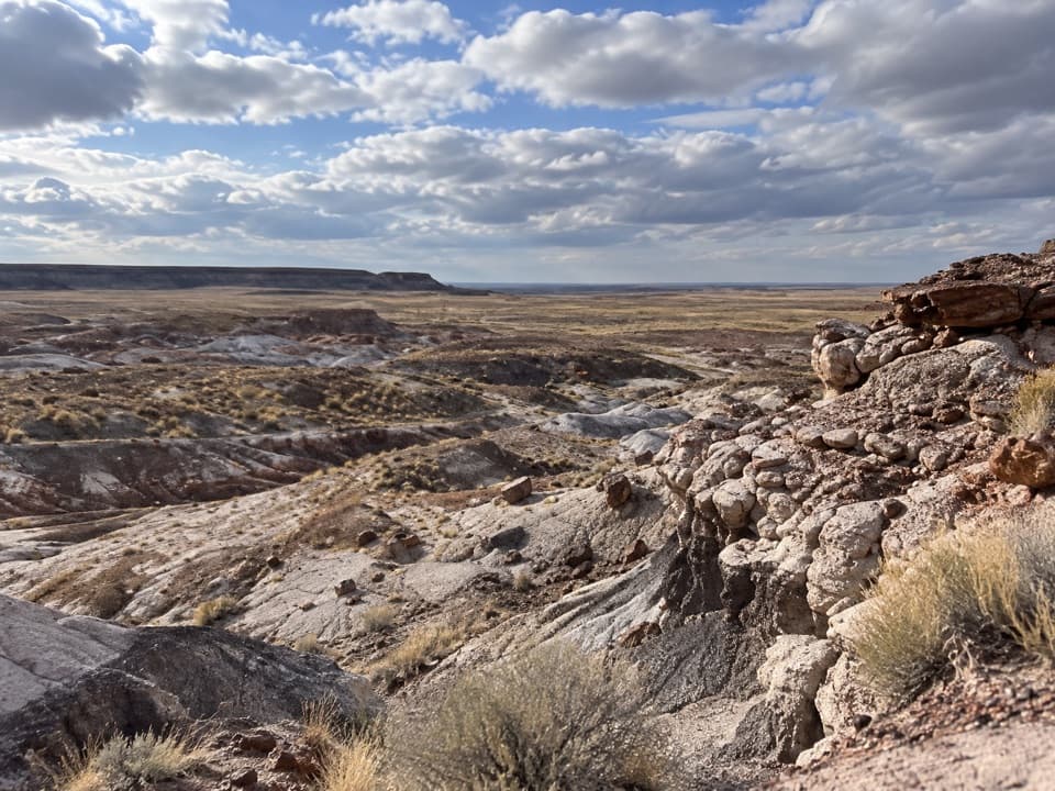 ModerateFirst Forest Point4.2 mi · 3 hr · 4.7 mi awayWash route-finding leads to petrified wood and a mesa view.
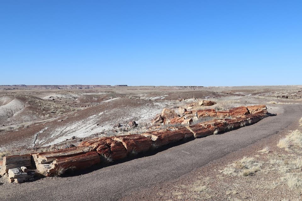 EasyCrystal Forest Trail0.9 mi · 30 min · 5.7 mi awayA short loop among colorful logs scattered across purple badlands.
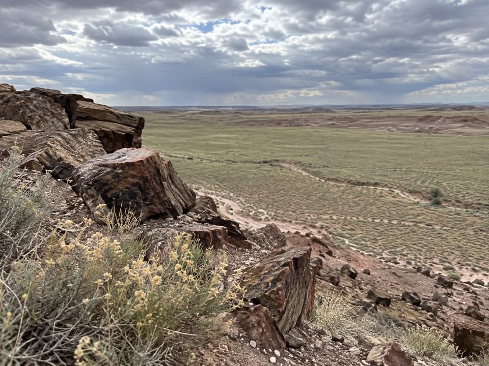 ModerateDead Wash Overlook Hike4 mi · 2.5 hr · 7.2 mi awayA faint route across striped badlands to a wide wash view.
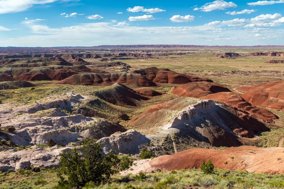 EasyPainted Desert Rim Trail1 mi · 36 min · 10 mi awayA short rim walk to layered Painted Desert views
 Sight · 0.2 mi awayBlue Mesa OverlookRim-top views of striped badlands, with an optional one-mile walk.
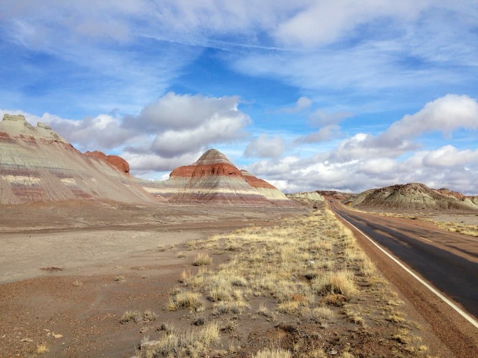 Scenic pullout · 1.4 mi awayThe Tepees North PulloutA quick roadside look at the Painted Desert's striped cones.
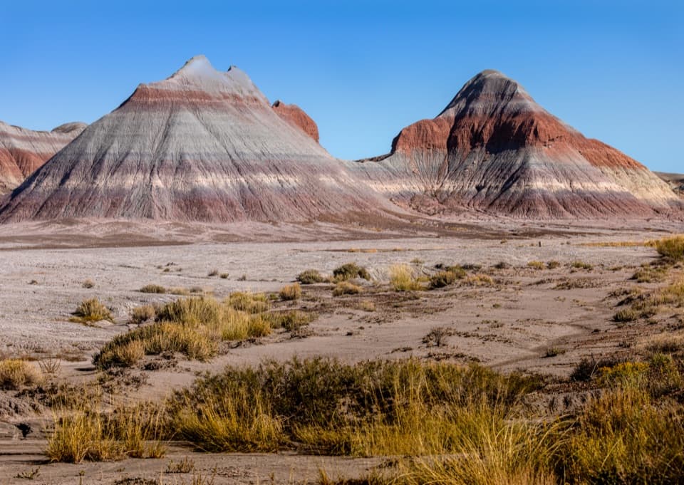 Scenic pullout · 1.4 mi awayThe Tepees South PulloutA roadside look at roughly 220-million-year-old striped hills.
 Sight · 3 mi awayNewspaper RockMore than 650 petroglyphs, best seen slowly through the scopes.
 Sight · 3.4 mi awayPuerco PuebloA low-walled pueblo with petroglyphs and a solstice marker.
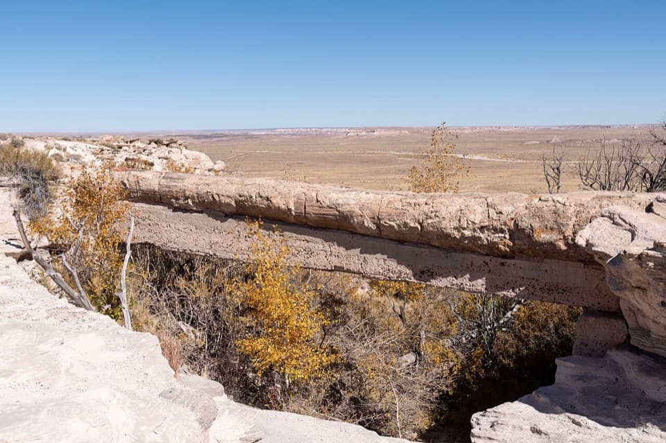 Sight · 4 mi awayAgate BridgeA petrified log spans a gully on a 1917 concrete beam.
 Sight · 4.7 mi awayJasper Forest OverlookA quick panorama over Jasper Forest’s basin of petrified wood.
 Sight · 5.6 mi awayCrystal ForestQuartz flashes in the petrified logs along this short paved loop.
Parkwolf’s Petrified Forest ranking
The audio tour guide for the drive, plus offline maps, trails, and wildlife heatmaps for when the signal drops.

