Parking
Start at Day Use Lot 3, the named visitor parking access for the Gorge Trail. The campground trailhead near sites 111 and 112 has no day-use parking.
#9 of 11 trails in Pfeiffer Big Sur
Pfeiffer Big Sur State Park, CA
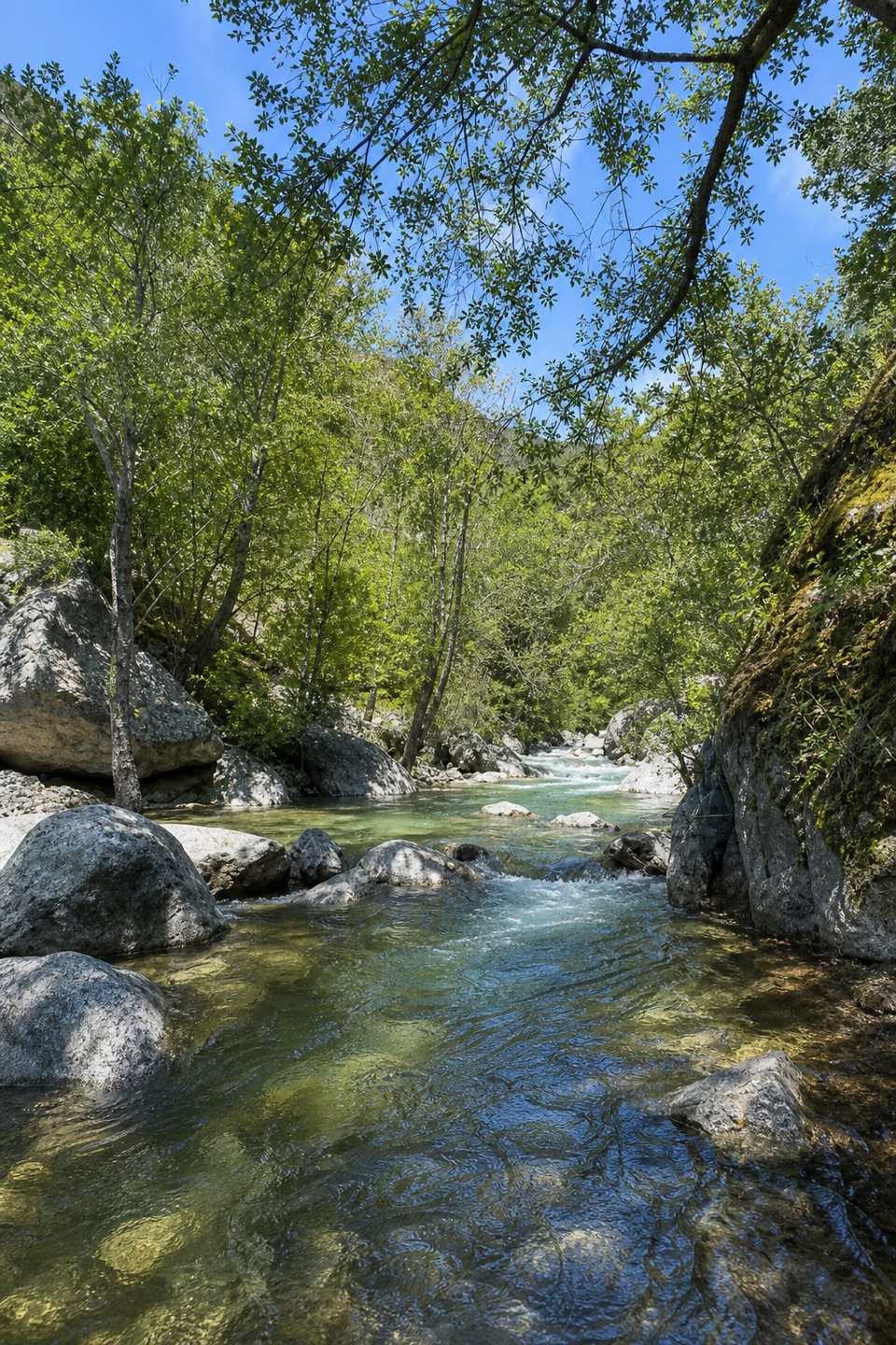
A short paved walk to the Big Sur River gorge.
Overview
Map & elevation
Plan your hike

The highest, rockiest slopes around here are a summer buffet for grizzly bears.
Pfeiffer Big Sur Tour Guide
Parkwolf is a GPS audio tour guide for Pfeiffer Big Sur State Park. As you drive, it chimes in with what’s ahead: hidden gems, upcoming stops, history, geology, and wildlife, right through your car’s speakers.
Recorded for this trailhead
Big Sur River Gorge: Beyond the Paved Path“You're approaching Day Use Lot Three, the starting point for the Big Sur River Gorge Trail. The paved half-mile round trip takes twenty to thirty minutes, ending where the undeveloped gorge begins.”
Plays as you drive up to this trailhead in the Parkwolf Pfeiffer Big Sur Tour Guide.
More stories near here in the app
“Fantastic app with many points of information… It’s great to just turn on while you’re driving and it gives you an audio tour of the national Park. We love it!!!!”


Trail guide
Big Sur River Gorge Trail is a paved out-and-back from Day Use Lot 3 to the entrance of the Big Sur River Gorge. It is 0.5 mile round trip; allow about 20 to 30 minutes for the short up-and-down walk and a look at the river. Choose it for a quick visit to the gorge. The swimming-hole scramble is a separate, unmaintained extension.
Follow the Gorge Trail from Day Use Lot 3 and turn around where the maintained path reaches the undeveloped gorge. That is the end of this mapped hike. For a photo, frame the river with the boulders and leafy canopy; there is no need to climb onto the rocks for a closer angle.
Some visitors continue upstream toward the swimming pool by wading and climbing over boulders and logs. That is outside this trail. The park warns of loose rocks, slippery surfaces, and unstable soil, and calls those conditions extremely hazardous. If you are not prepared for river travel, turn around where the maintained path ends.
The park asks visitors to protect fish nests and not move rocks, branches, or other river material. Pets are not allowed on hiking trails, apart from service animals.
Wildlife
 10 sightingsCalifornia CondorMost seen around 1 PMSighting map
 55 sightingsWild TurkeyMost seen around 7 AMSighting map
 100 sightingsMule DeerMost seen around 6 PMSighting map
 36 sightingsTurkey VultureMost seen around 1 PMSighting map
 46 sightingsAcorn WoodpeckerMost seen around 9 AMSighting map
 11 sightingsGray FoxMost seen around 6 PMSighting map
Sighting maps show where each species has been reported across Pfeiffer Big Sur. Wildlife moves, so no sighting is guaranteed.
Keep exploring
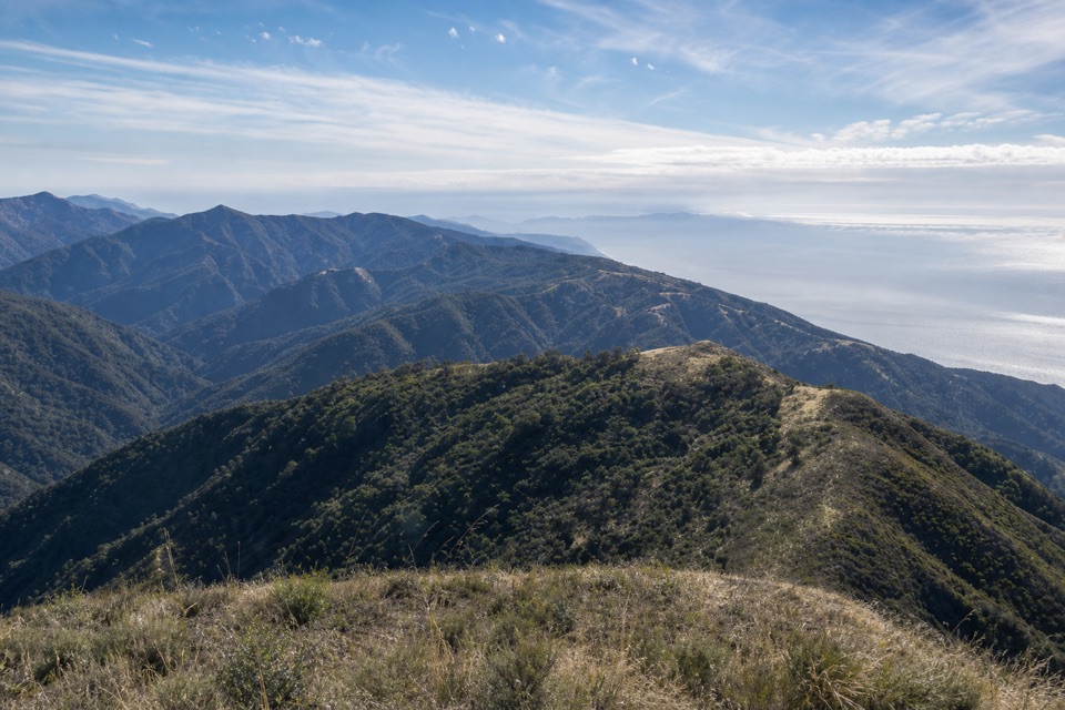 ChallengingMount Manuel Trail9.1 mi · 8 hr · 0.1 mi awayA long, sunny climb to a rocky ridge above Big Sur.
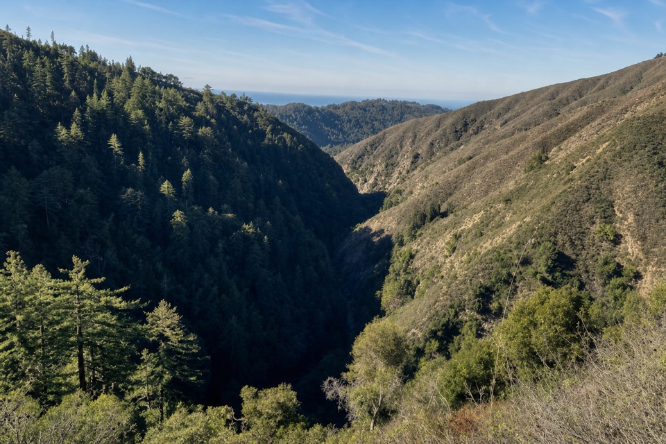 ChallengingPine Ridge Trail22.3 mi · 14 hr · 0.2 mi awayA strenuous, one-way traverse from river redwoods to high ridges
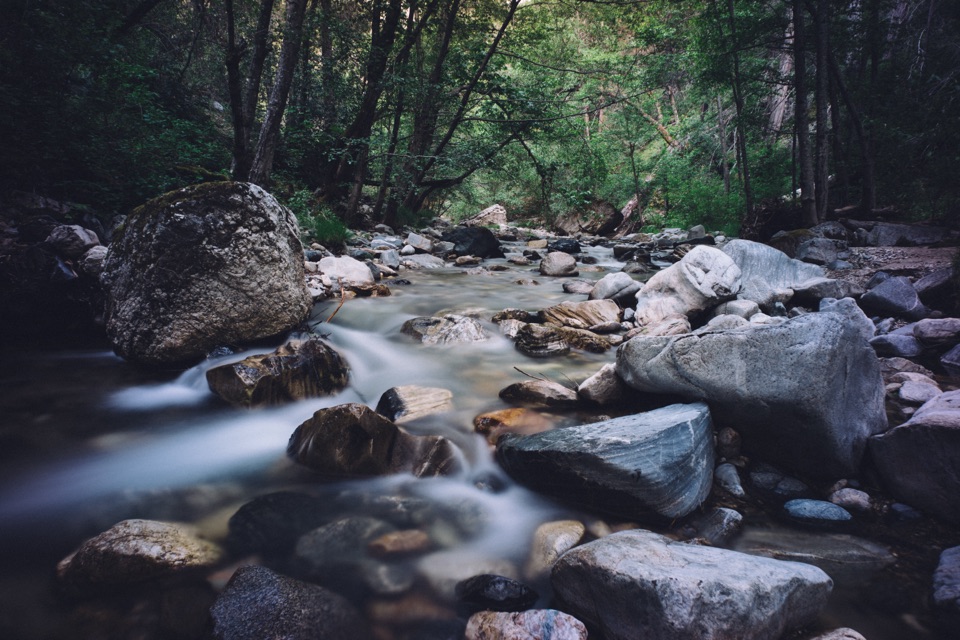 ChallengingSykes Hot Springs via Pine Ridge Trail19 mi · 13 hr · 0.2 mi awayA long backcountry trek earns a soak beside the Big Sur River.
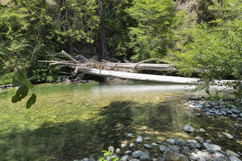 ChallengingPine Ridge Trail to Ventana Camp9.9 mi · 7 hr · 0.2 mi awayA tough Pine Ridge out-and-back to a riverside camp.
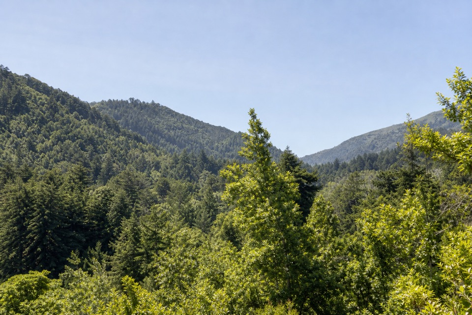 ModeratePine Ridge and Post Creek Trail3.3 mi · 1.8 hr · 0.2 mi awayA redwood climb ends at a platform above a wooded valley.
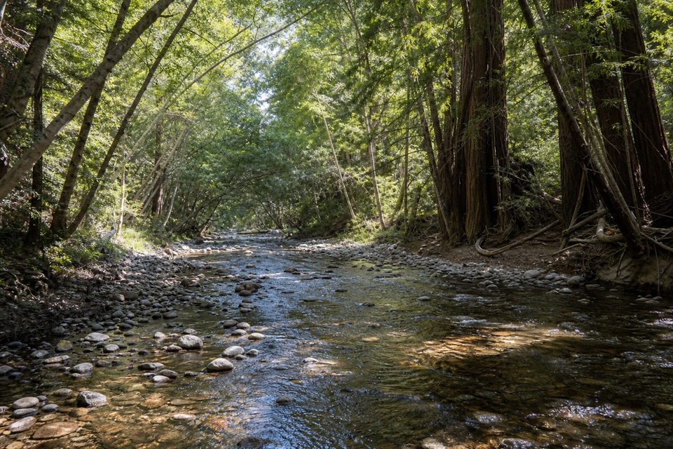 EasyNature Trail0.7 mi · 30 min · 0.4 mi awayAn easy redwood walk with twelve plant stops and a river return.
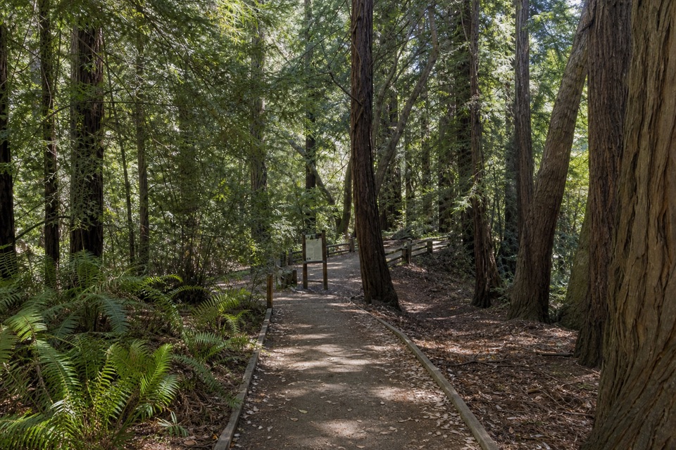 EasyRiver Path and Warden's Path0.6 mi · 18 min · 0.5 mi awayAn easy river loop under redwoods, linked by footbridges.
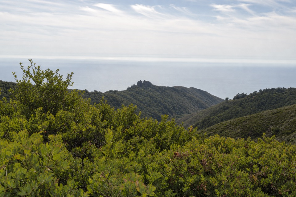 ModerateBuzzard's Roost Trail3 mi · 2.5 hr · 0.6 mi awayShady redwoods give way to a sunny ridge above the ocean.
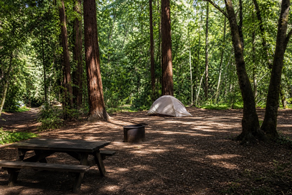 Campground · 0.1 mi awayPfeiffer Big Sur State Park CampgroundA redwood campground with the river and park trails close by.
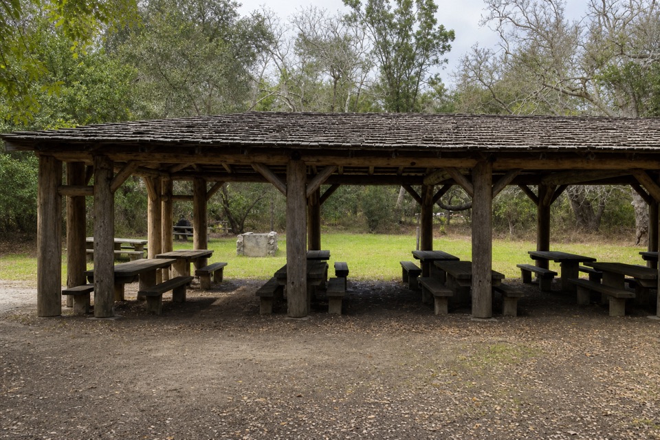 Picnic area · 0.1 mi awayRiverside Picnic Areas A, B and CThree CCC-built picnic areas by the Big Sur River.
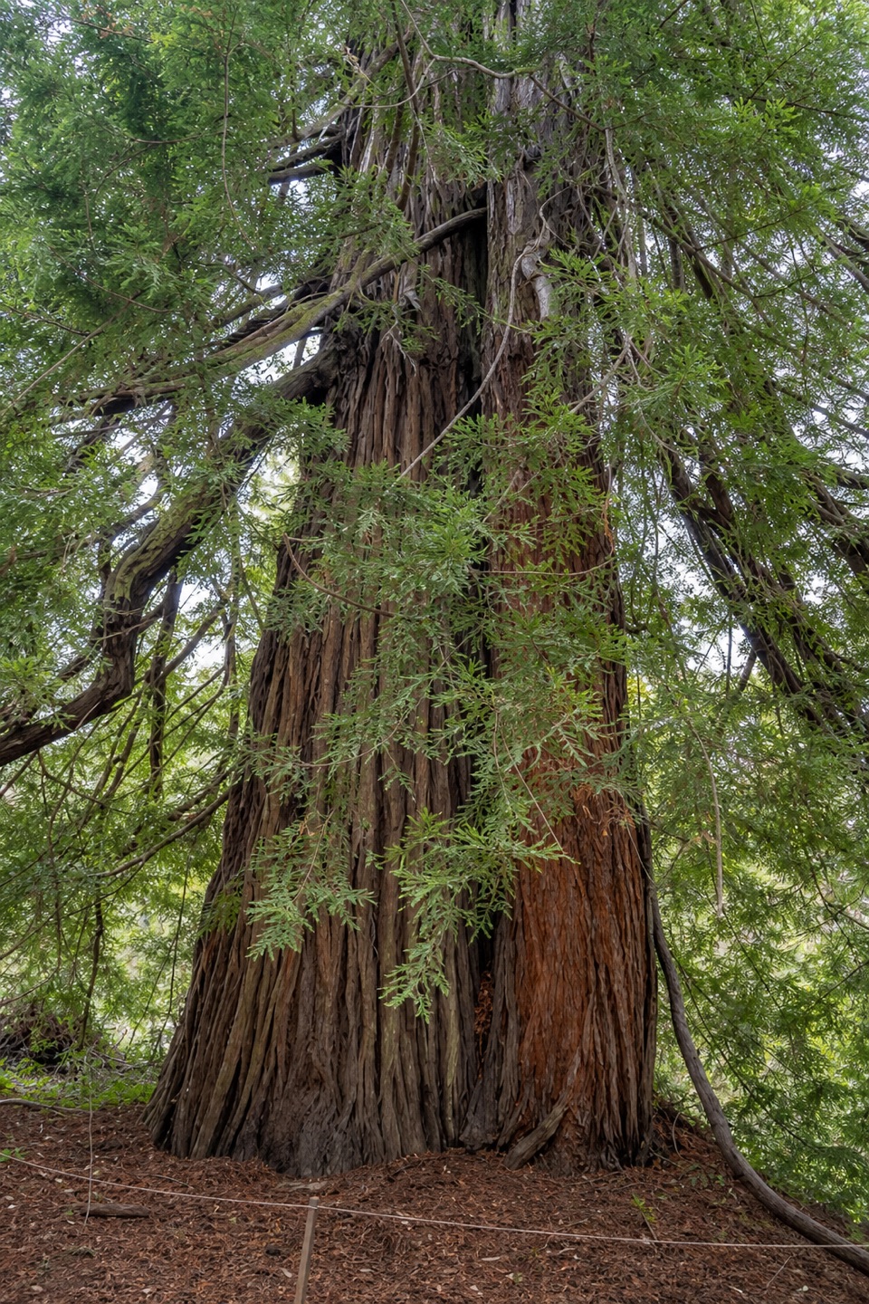 Sight · 0.1 mi awayColonial TreeA quick stop beneath the park’s biggest, probably oldest redwood.
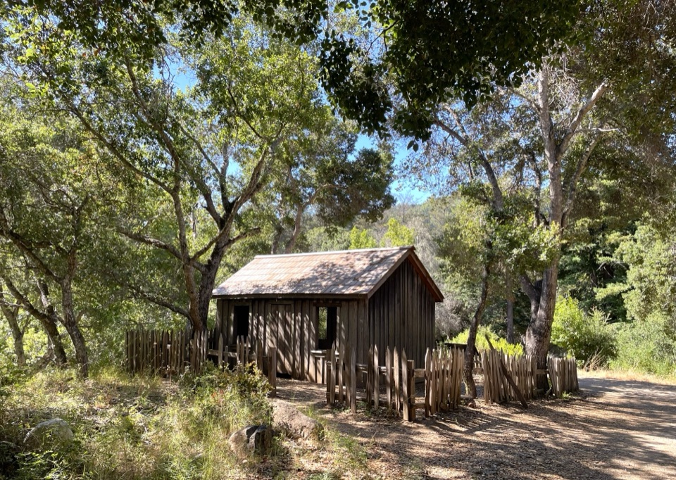 Sight · 0.1 mi awayHomestead CabinA brief heritage stop before Big Sur River Gorge.
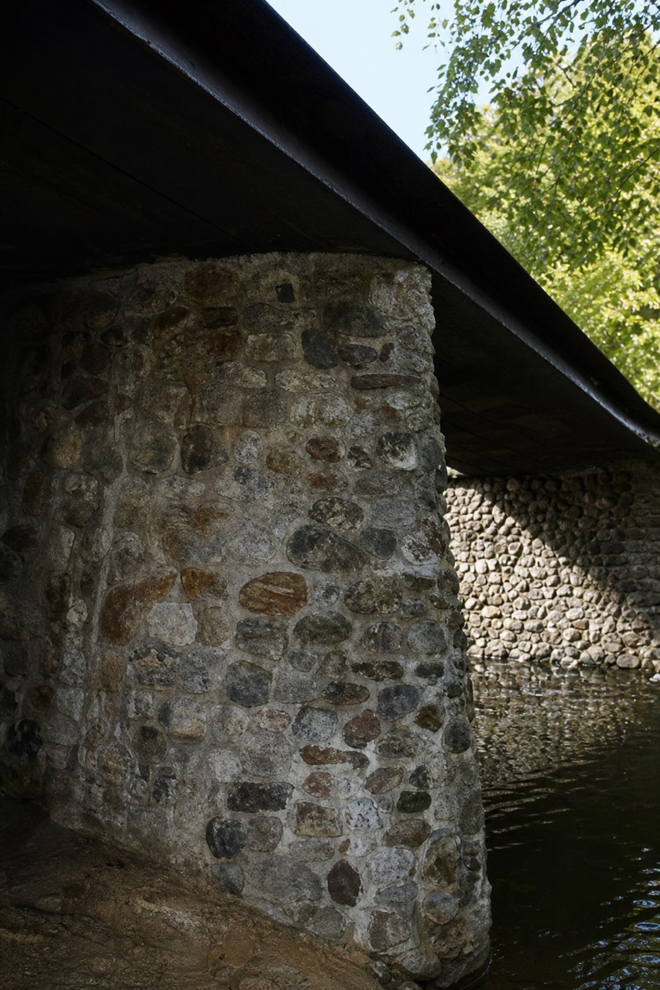 Sight · 0.2 mi awayWeyland BridgeA CCC bridge whose stonework is older than the deck.
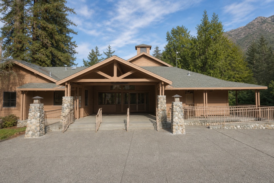 Visitor center · 0.3 mi awayBig Sur Station Visitor CenterGet maps and local advice before choosing your next stop.
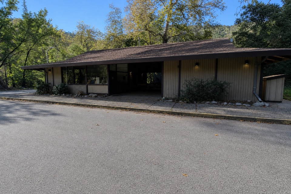 Store · 0.3 mi awayPfeiffer Big Sur Camp StoreA handy camp-side stop beside the south-loop laundry.
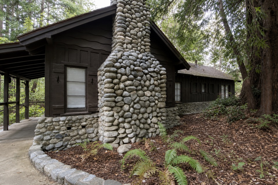 Sight · 0.4 mi awayWarden's HouseA small CCC-era warden's house in park-rustic stone and timber.
Parkwolf’s Pfeiffer Big Sur ranking

The audio tour guide for the drive, plus offline maps, trails, and wildlife heatmaps for when the signal drops.